Flashback to the LadysmithDays Festival on July 31st, 2022. The Events Program indicated that a Dance Duo named Funkanometry would be performing. Word got around that these young men were becoming a huge hit! As a former dance instructor, I was curious to watch their performance and be introduced to their unique style of dance.
Soon after locating a bench seat in the front row of the Ladysmith Transfer Beach Amphitheatre, a small group of people arrived at the side of the theater. The group included two young men dressed very casually in dark pants, white runners, and T-Shirts with the letter F on the front. Hmmm….Was this the duo?
A large group of teenagers started screaming as the duo walked towards the center of the outdoor floor. Interesting reaction? The duo seemed confident, calm, and approachable. When the music commenced, I quickly understood the appeal of this gifted dance duo! Wow!
Funkanometry performed in Ladysmith July 2022. Video by Sandra Walther
Rush and Fryer are pros! They were highly entertaining! They demonstrated amazing musicality and unique choreography. They were energetic and clearly loved dancing.
When a young girl ran up wanting to join in dancing, they did not falter or hesitate–they kept performing and adapted to the situation. Their dancing and presentation resulted in smiles and happiness across the multi-generational audience. We all wanted to see more of Funkanometry.
Funkanometry performance July 2022 video by Sandra Walther
Rush and Fryer had unique moves and really played with the audience. We were totally engaged. This Vancouver Island duo was talented and definitely had the potential to “go places” much beyond our beautiful island.”
Funkanometry plays with the audience July 2022 Ladysmith. Videoed by Sandra Walther
I believe it…you’re hot all right! Funkanometry combines many types of dance to create a unique and fun style of their own.
Each dance number had its own individuality, and interactive humour was the constant element between the duo. The dancing felt positive and uplifting.
Funkanometry Duo having a great time performing in Ladysmith July 2022. Video by Sandra Walther
In this dance number Jacksun and Carlow really seemed to be relaxed and having a wonderful time interacting with the audience. Their smiles and energic moves certainly had me smiling and tapping my toes! I feel so proud that these talented young men are from Vancouver Island, Canada.
Funkanometry Duo Jacksun & Carlow at Ladysmith July 2022. Video by Sandra Walther
Rush and Fryer made it to the semi-finals of America’s Got Talent in 2022 and danced a risky, judge controlled choreography as one of eight acts selected for the finals of Canada’s Got Talent on Tuesday, May 14th 2024.
Jacksun Fryer and Carlow Rush continued to amaze the audience and raise the bar! They definitely received my vote. Go Funkanometry! You barely missed obtaining first place and the 1 Million dollars prize! As the Runner-Up performers for Canada’s Got Talent 2024, you have successfully made Funkanometry a household name across Canada! Congratulations!
You are living the dream! We’ll continue to be watching and sending our positive energy from Nanaimo! @Funkanometry
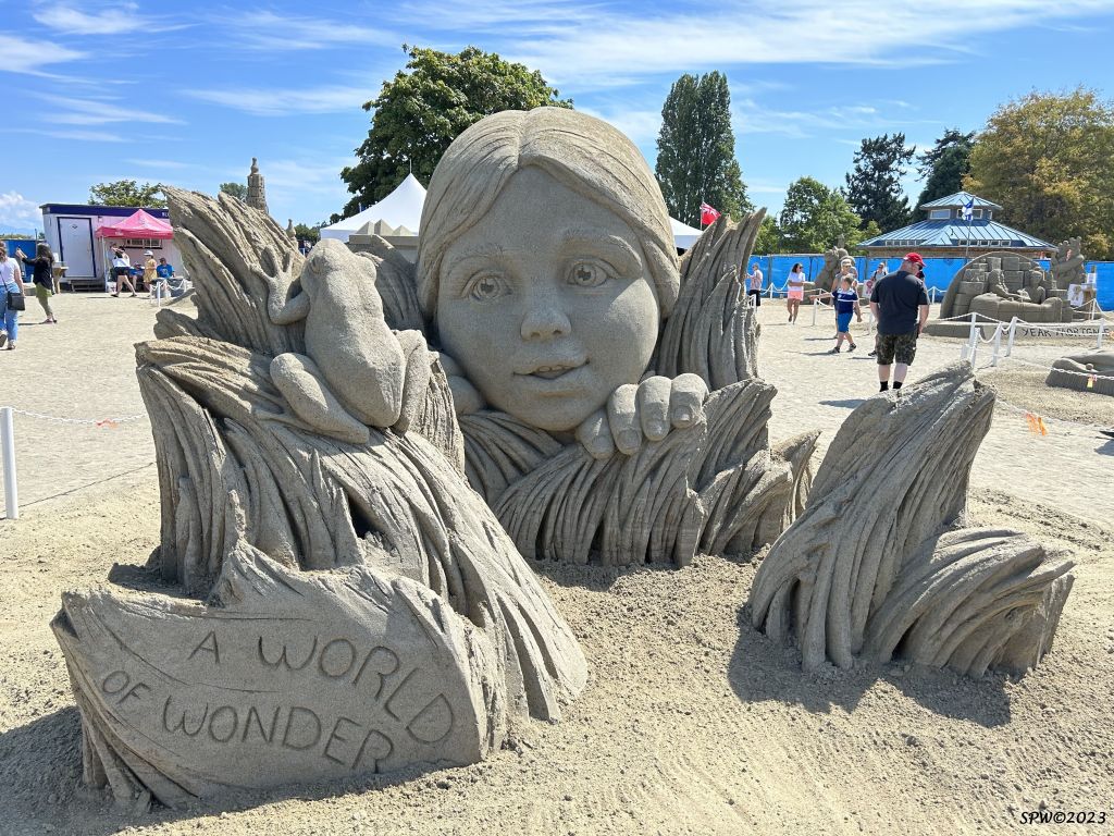
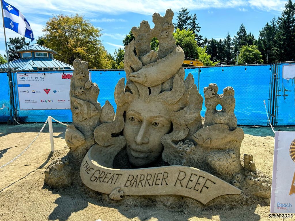
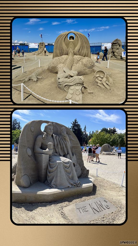
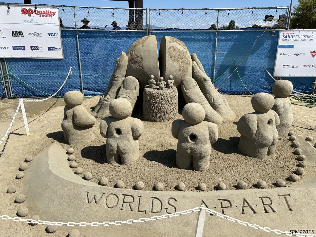
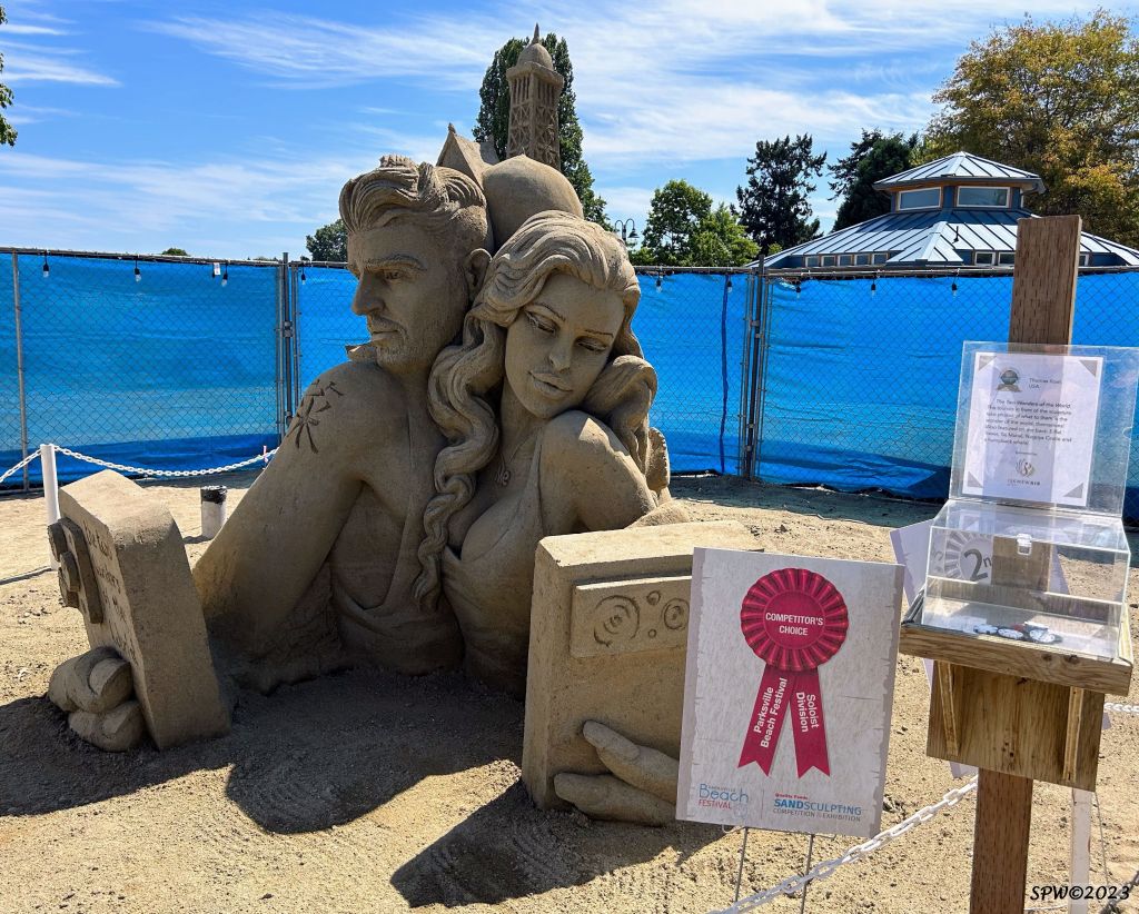
This blog post will explore the “Wonders of the World” from the Parksville Sand Sculpture/Beach Festival held during the summer of 2023. (A World of Wonder was the winner of the People’s Choice doubles award).
The artistic creations truly took our breath away. I always found building sand castles using buckets, sand, seaweed, shells and various seashore items, enjoyable as a child until sections collapsed or the waves quickly eroded my ‘fortress’. Therefore, I am totally in awe of these artistic creations which manage to withstand weeks of display in varying weather conditions throughout the summer.
Vancouver Island hosts a wide variety of summer festivals and outdoor experiences. A popular event for families or individuals (which runs for over a month starting in mid July) is the Parksville Sand Sculpture competition and Beach Festival.
If you have arrived from the B.C. mainland via B.C. Ferry and are based in Nanaimo, the community of Parksville is a mere 35 minutes drive on Highway 19 North–only 40 km away.
The beaches are mostly sandy and during low tide, offer a wonderful area to explore. Locals and visitors enjoy playing in the sand or swimming in the Pacific ocean. Famous Rathtrevor Beach Provincial Park has campsites, forests and sandy beaches. If you hope to camp during the summer months, book early!
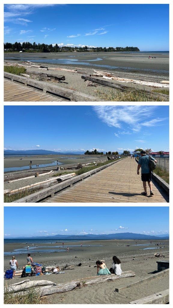
Parksville beaches have public access and a lovely easy boardwalk adjacent to the sandy beach.
These photos depict the Parksville beaches beside the boardwalk during an August low tide. There are multiple websites available to assist your planning when coming to explore our central Vancouver Island paradise. Here is a link to more information and photos promoting Parksville/Qualicum beaches, lodgings, and upcoming activities.
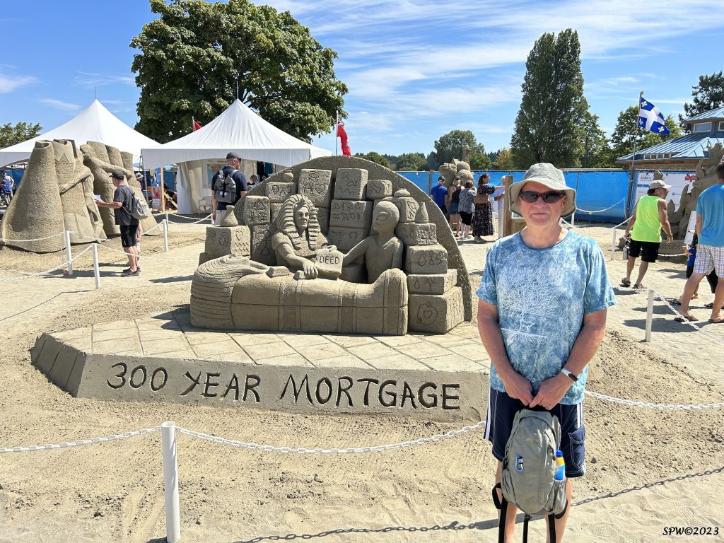
The photos in this blog post were taken during a visit to Parksville in mid August 2023. The location of the sand competition is adjacent to the Parksville beach/boardwalk/park area. The creation of the sculptures occurred from July 13th-16th when artists had 30 hours to create their elaborate sand interpretations. There are two main categories artists may select–solo or doubles.
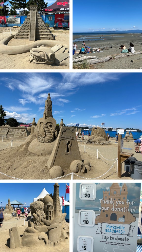
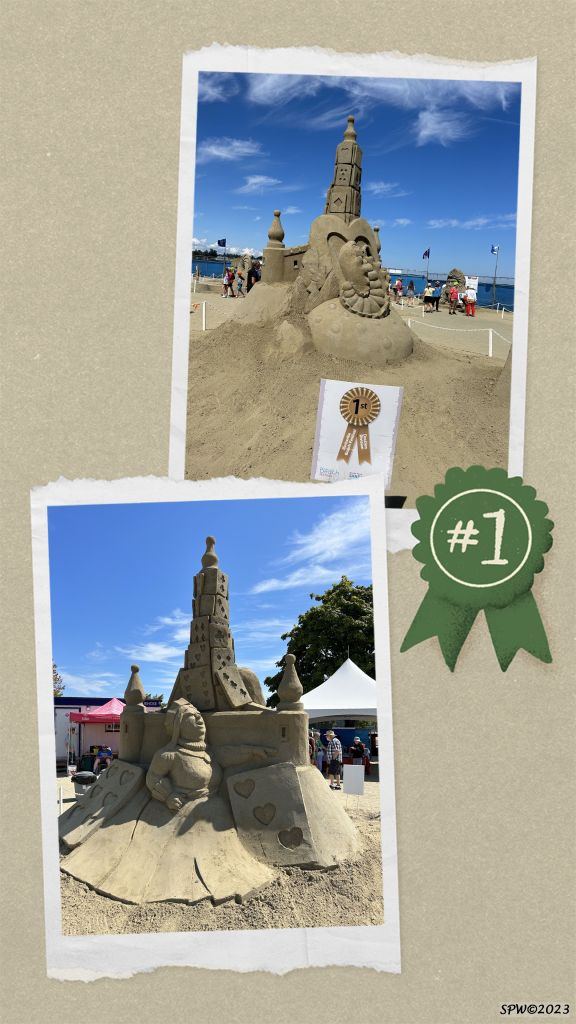
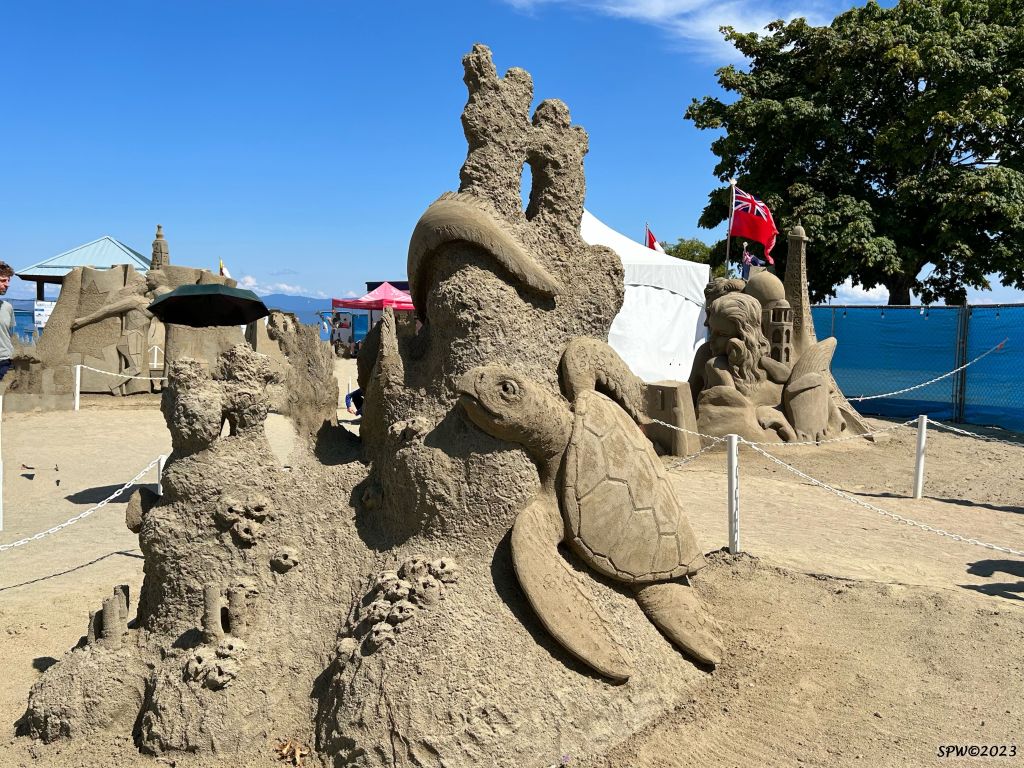
This year’s theme was “Wonders of the World“. Karen Jean Fralich was the winner of the solo category with her “Great Barrier Reef” sculpture. Fred Dobbs and Ted Siebert won the doubles award for “Wonderland“. (Shown below).
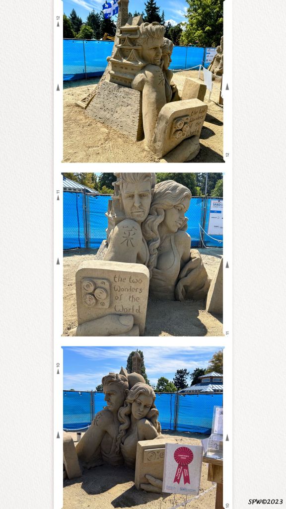
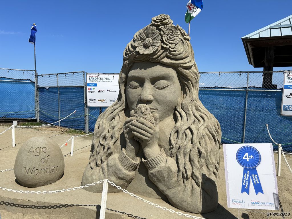
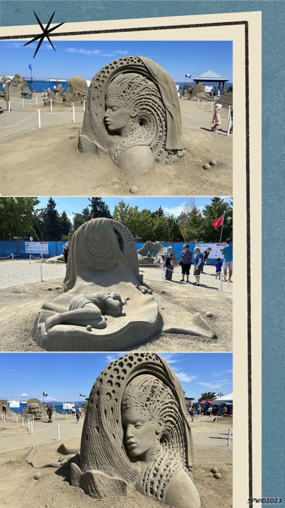
Thomas Koet won the solo competitor’s choice award for “Two Wonders of the World“. Edith van de Wetering & Wilfred Stijger won the competitor’s choice for doubles with “Dreams“. People’s choice awards went to Peter Vogelaar in the solo category for “Age of Wonder” and Doubles went to David Ducharme & Susanne Ruseler for “A World of Wonder“.
The consistency of the sand is crucial to the success of the sand creations. I learned that the sand is actually transported to the competition site from a quarry in nearby Coombs. The sand requires fluvial deposits (river sand) a mixture of silt and clay. The competitors often commence using wooden forms; a strong ratio of sand to buckets of water is used (8:1 ratio was quoted by one of the volunteers); and when the sculpture creation is completed, a spray containing a type of glue is applied to harden the sand.
After the conclusion of the annual competition, the sand is returned to the quarry where the winter rains successfully break down the hardener enabling the sand to be re-used/re-cycled the following year. What an impressive concept! Here are a few of the amazing sand sculptures this year.
If you are interested in further information about the 2023 Sand Sculpture competitors or plan to attend this Vancouver Island festival next year, the Parksville Beach Festival website is a great source of information. Click the “homepage” link .
There were so many imaginative sculptures expressing visual messages. I have only provided a sample of some that intrigued me for varying reasons. This sculpture won my token for the People’s choice award. This is a personal experience…I look forward to next year’s theme and the powerful messages and beauty created in sand and shared by these talented artists.
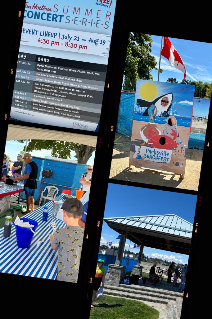
In addition to the famous sand sculptures, Beachfest included summer concerts and activities for all ages. Thank you to all the volunteers who help to make the Parksville summer Beachfest such a positive, friendly, relaxing and fun experience. Well done Parksville!
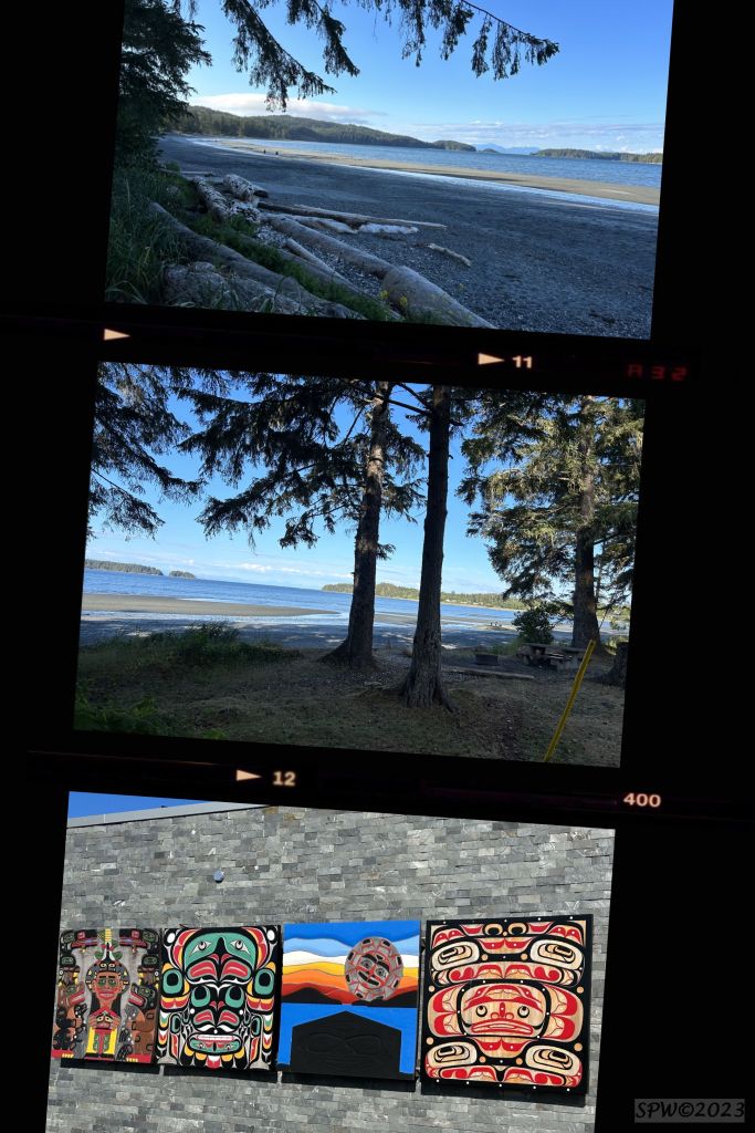
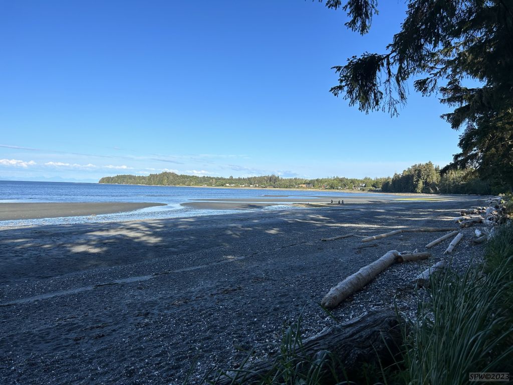
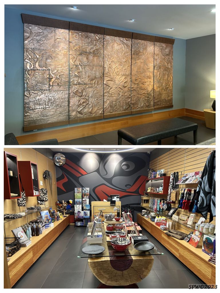
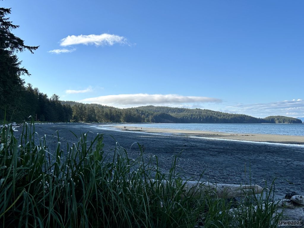
This series of photos were taken mid July 2023 at Port Hardy near Fort Rupert (Kwakwaka’wakw Territory). The top 2 photos are of Storey’s Beach area. It’s a beautiful area to kayak, paddle or explore and we often encounter Pacific white-sided dolphins, Dall’s porpoise, and sometimes the odd whale. The bottom photo is an art display depicting First People’s art and culture which is located at the Port Hardy Airport.
Port Hardy is located on the northern end of Vancouver Island, B.C. With a population of under 5,000 people, it is the largest community on the north island. It is also the southern BC. Ferry terminus for the the inside passage voyage north to Bella Bella, Prince Rupert, Haida Gwaii, or Alaska. Port Hardy and the surrounding small communities are known as the “Gateway to Adventure”. Near the town of Port Hardy, you will notice the motto on the welcome signs “Live the Adventure” illustrating a black bear and salmon. The pristine outdoor options are a nature lover’s delight. There is also a small airport offering flights down island or to Vancouver and small planes also connect to fishing resorts and smaller coastal villages.
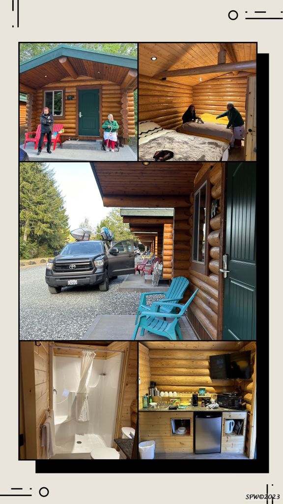
This blog post describes a special annual summer event that occurs during mid July in Port Hardy. FiLoMi Days weekend is a definite highlight for locals and tourists who are lucky enough to locate accommodation during this summer festivity. There are campgrounds, cabins, motels, and B&B but they fill quickly–especially during ferry nights or special celebrations. Here are a couple of the options…
The FiLoMi acronym symbolizes the 3 major industries of the town (Fishing, Logging, and Mining) although ecotourism is quickly becoming a 4th major industry here. Each year the FiLoMi days theme represents one of the 3 industries and in 2023 the theme was Fishing. This is a huge event for this town and visitors will discover a friendly, busy weekend with many former citizens venturing “home” to reunite with friends and community members.
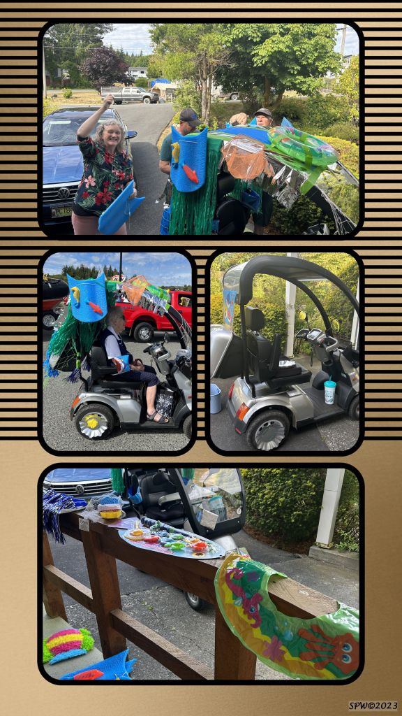
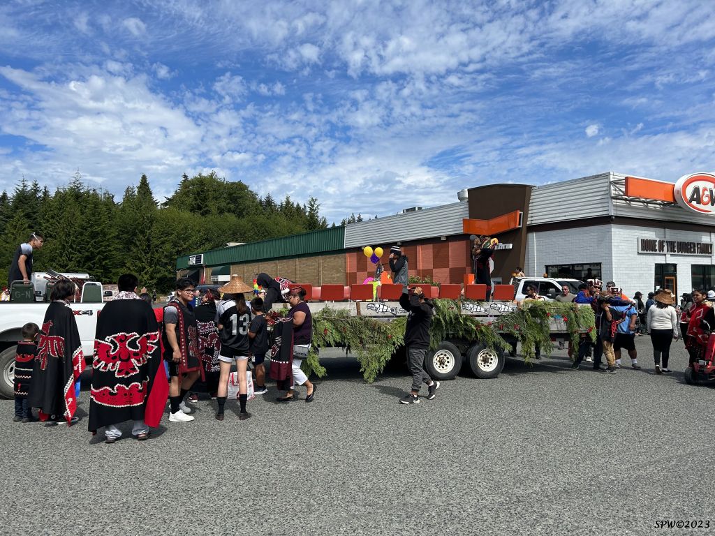
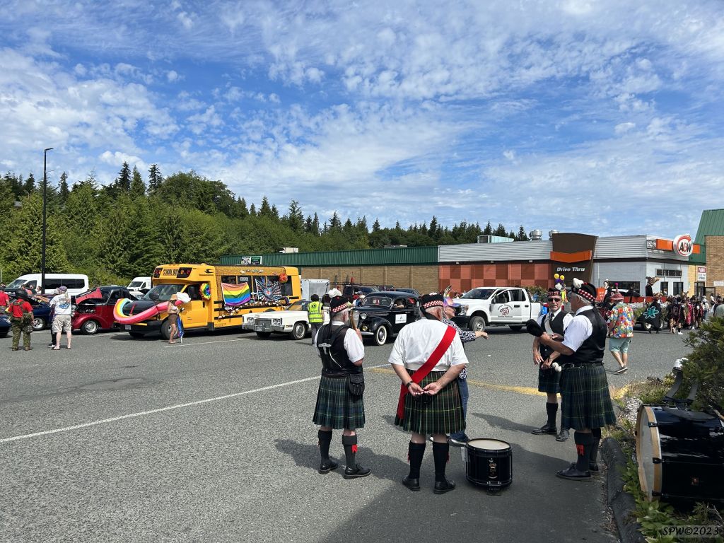
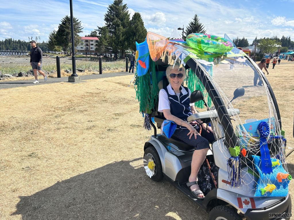
Early on Saturday morning, you will see floats and vehicles being decorated around town prior to the parade marshalling. Ribbons are allocated in a multitude of classes based on the creative interpretation of the theme–2023 was Fishing! Later on Saturday morning the locals and visitors are generally either in the parade, or sitting watching it, as it meanders from the local Thunderbird Mall to the Tourist Information Center and main Carrot Park area.
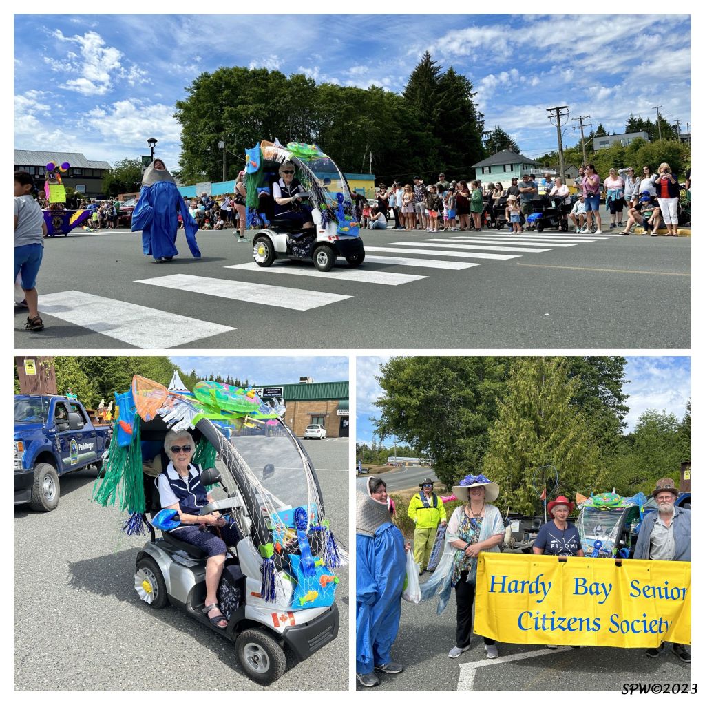
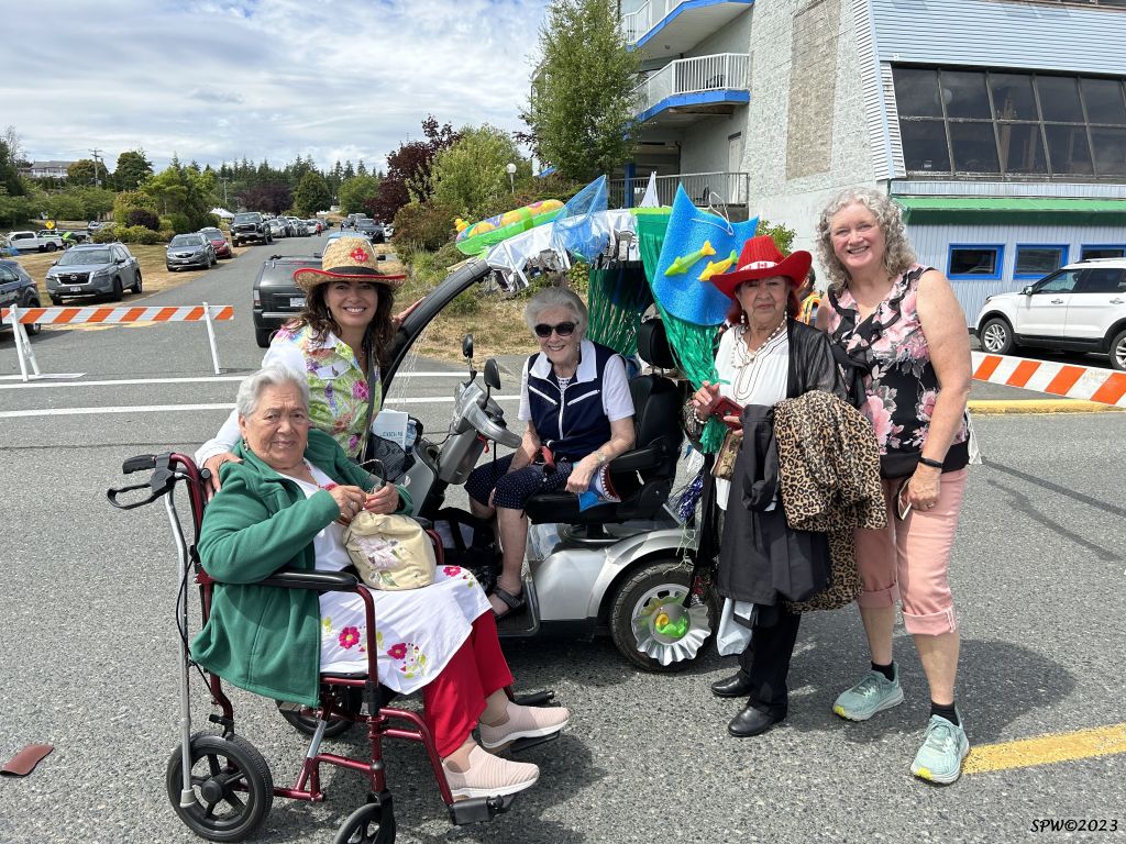
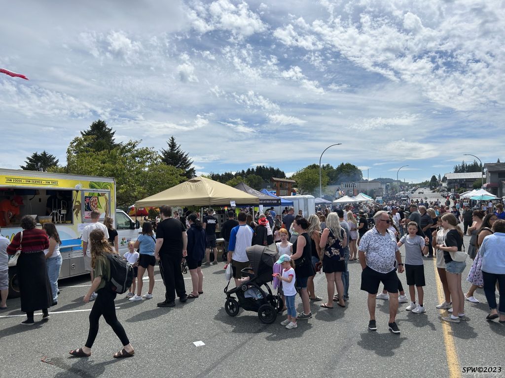
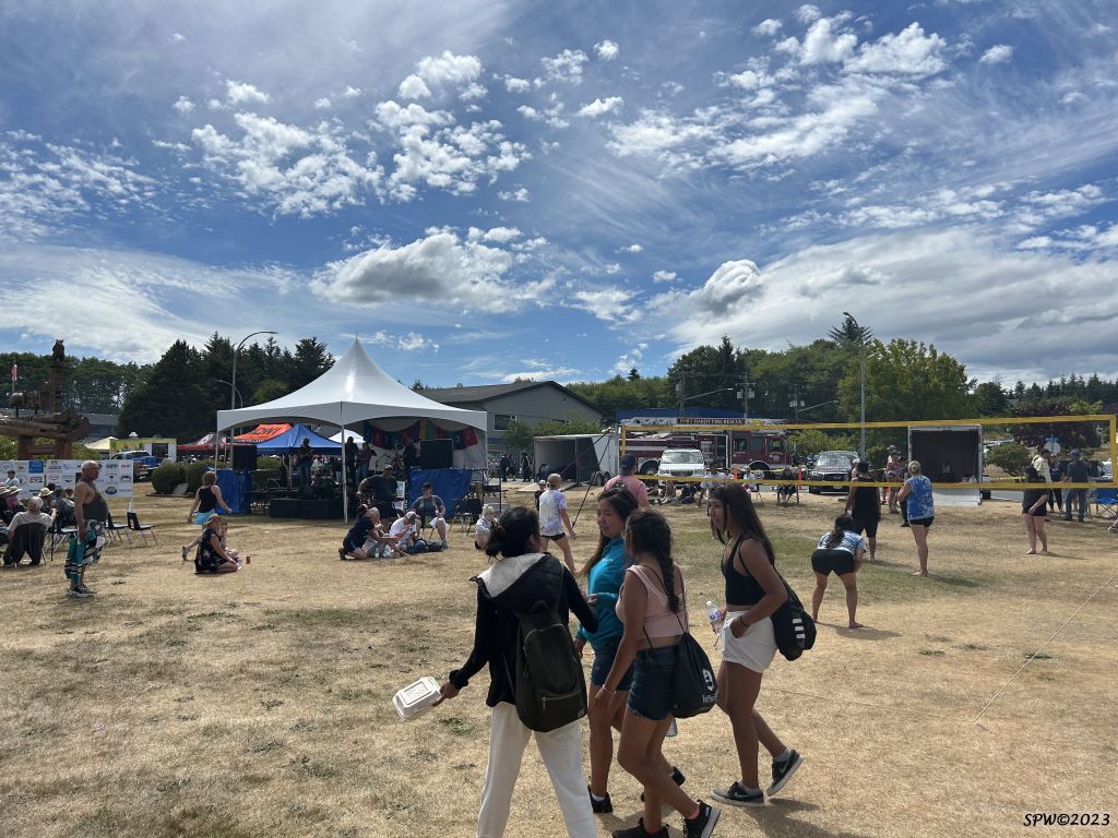
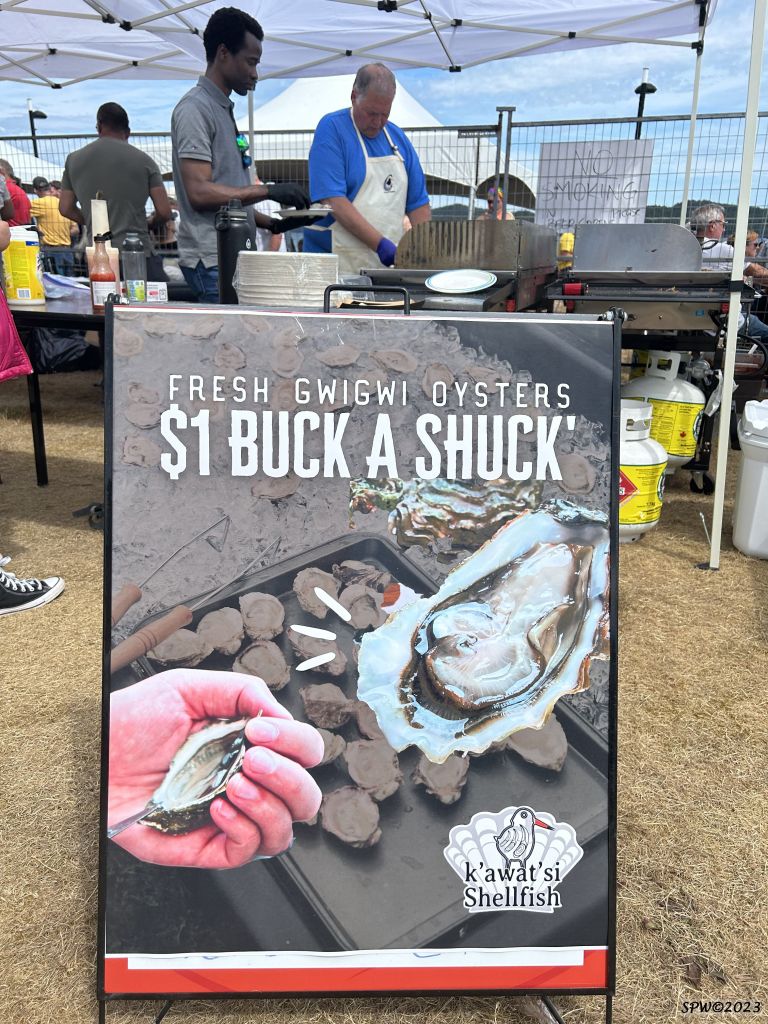
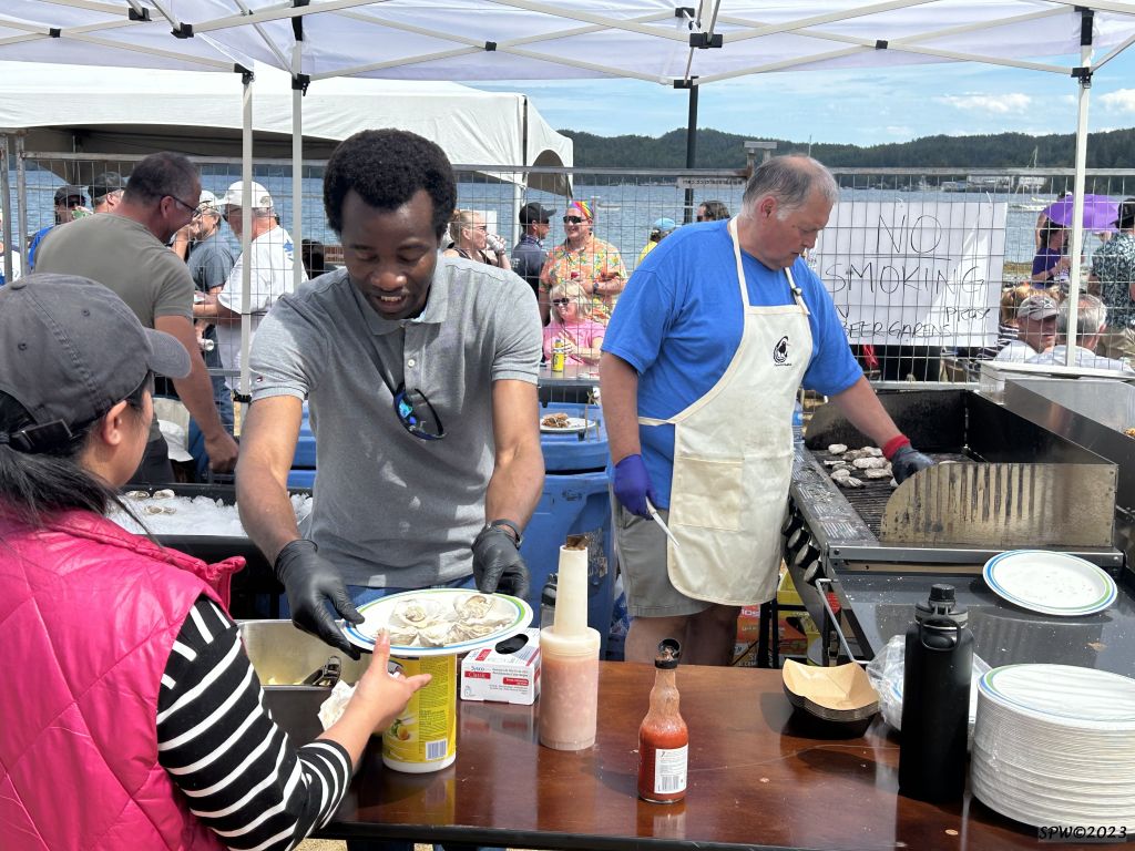
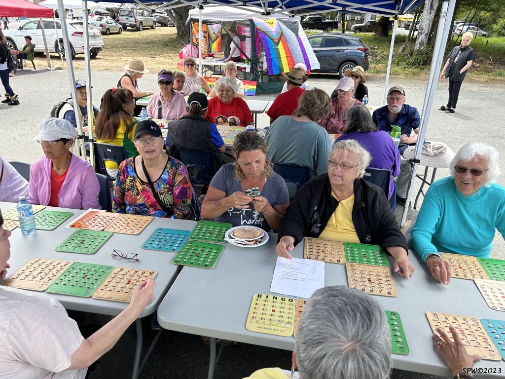
FiLoMi Days parade 2023. The Port Hardy Seniors were one of the many groups in fine form. There was an enthusiastic audience gathered to view and support the event. Here is a short video sharing a few highlights from the parade and other events, such as, the Taiko Drummers, Boat Building competition, Beach Volleyball tournament, Music, Beer Garden, Buck a Shuck Oysters, Children’s Play area, Float Plane fly pass, Free Seniors Bingo, and Food and Crafts Booths. The Free Movie in the Park, Rubber Duck Races, and Fireworks also were crowd favourites; in addition to the “Sold Out” FiLoMi adult dance.
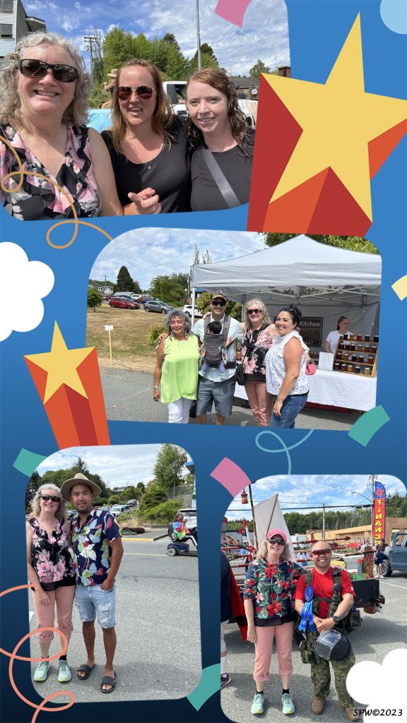
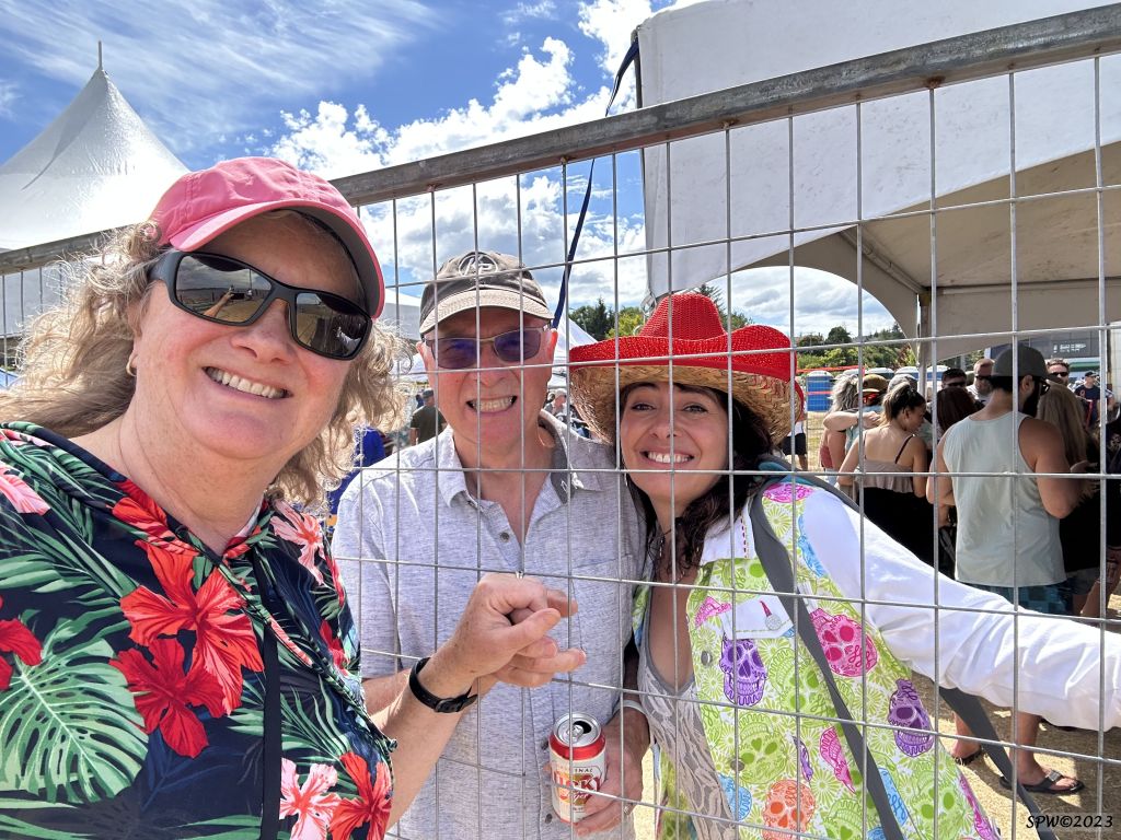
As a former teacher in Port Hardy area for over 35 years, one of my favourite aspects of FiLoMi Days weekend is when former students come up and reconnect sharing their life stories, new partners, children, successes, or challenges. It warms my heart and is so gratifying and uplifting. 🙂 I won’t list names, but here are a few of these special individuals from FiLoMi Days 2023.
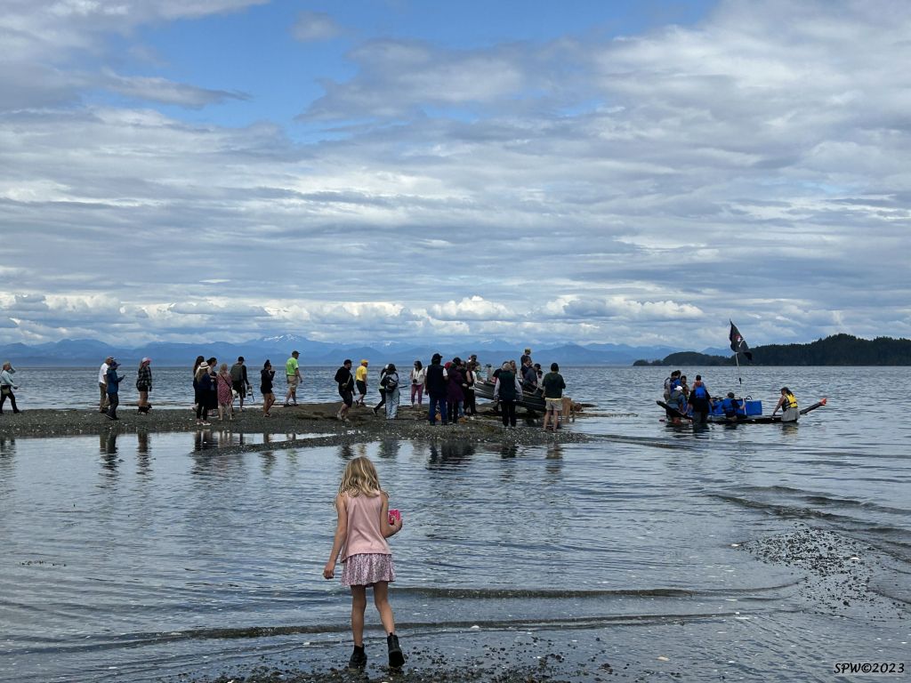
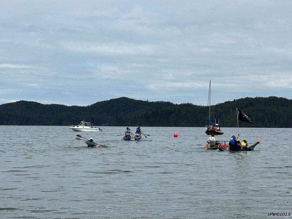
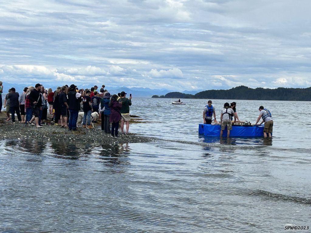
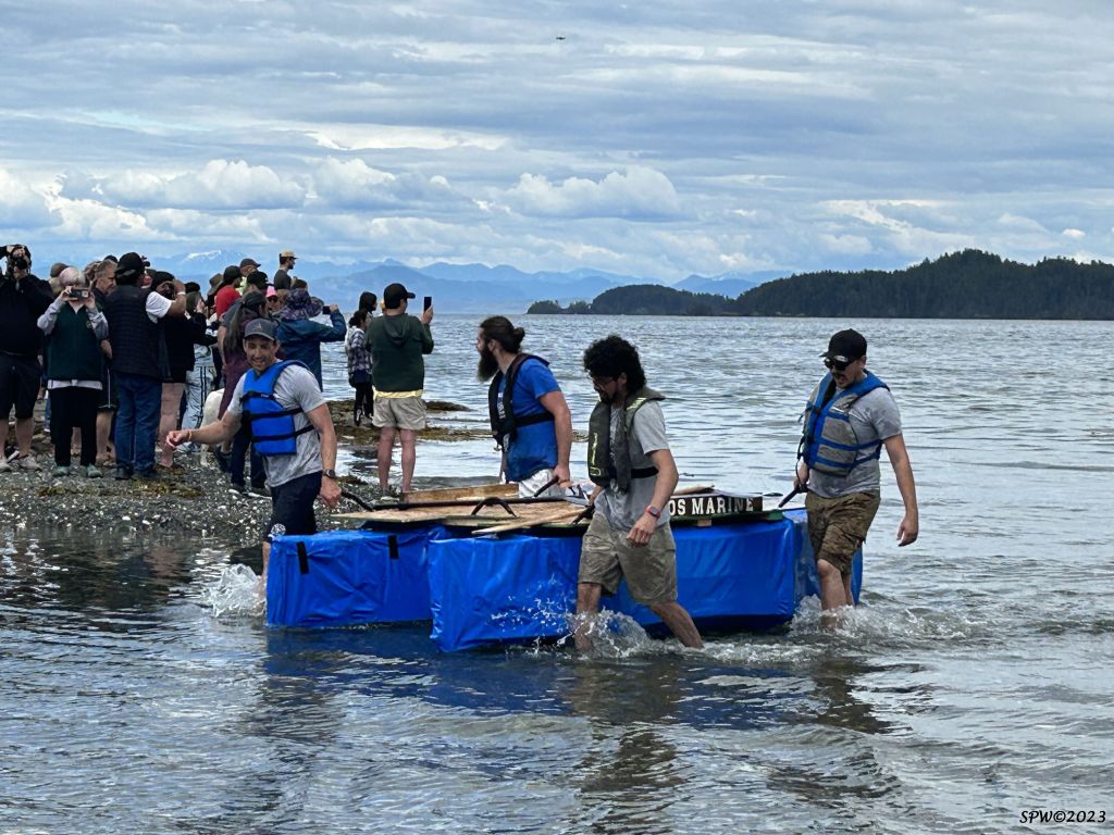
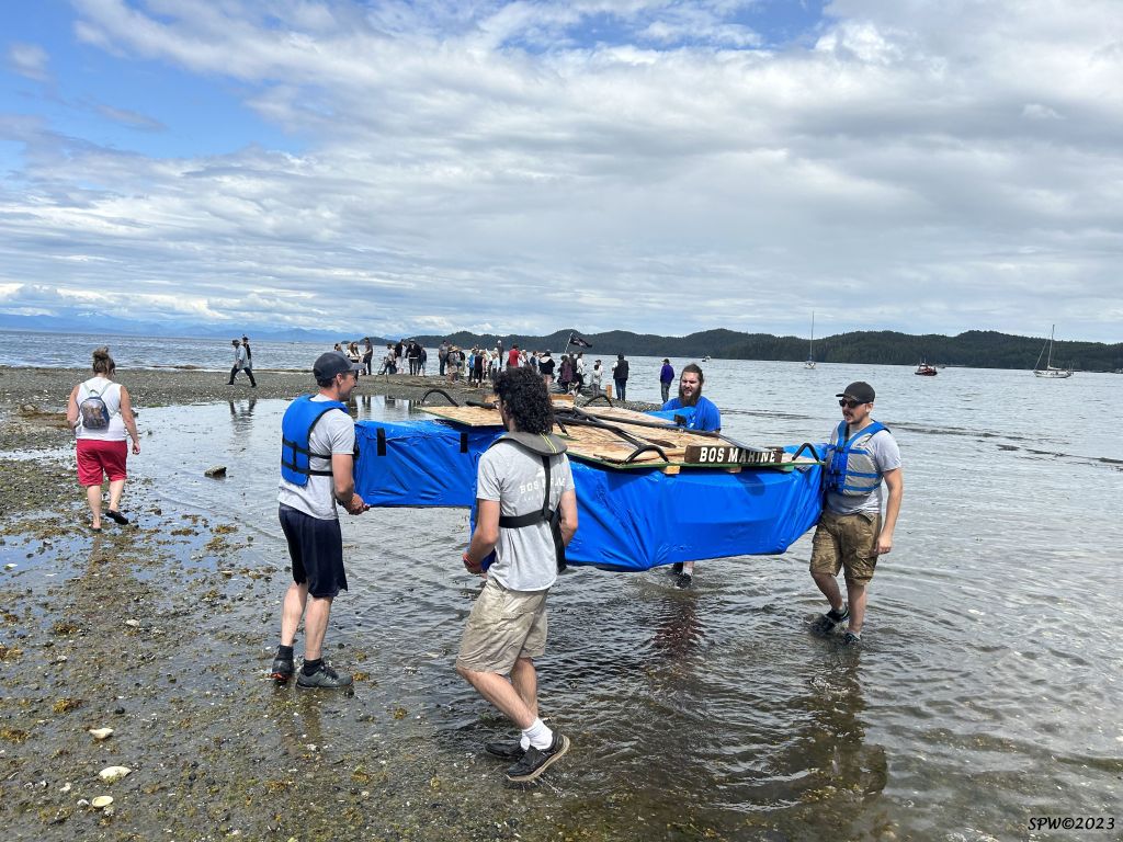
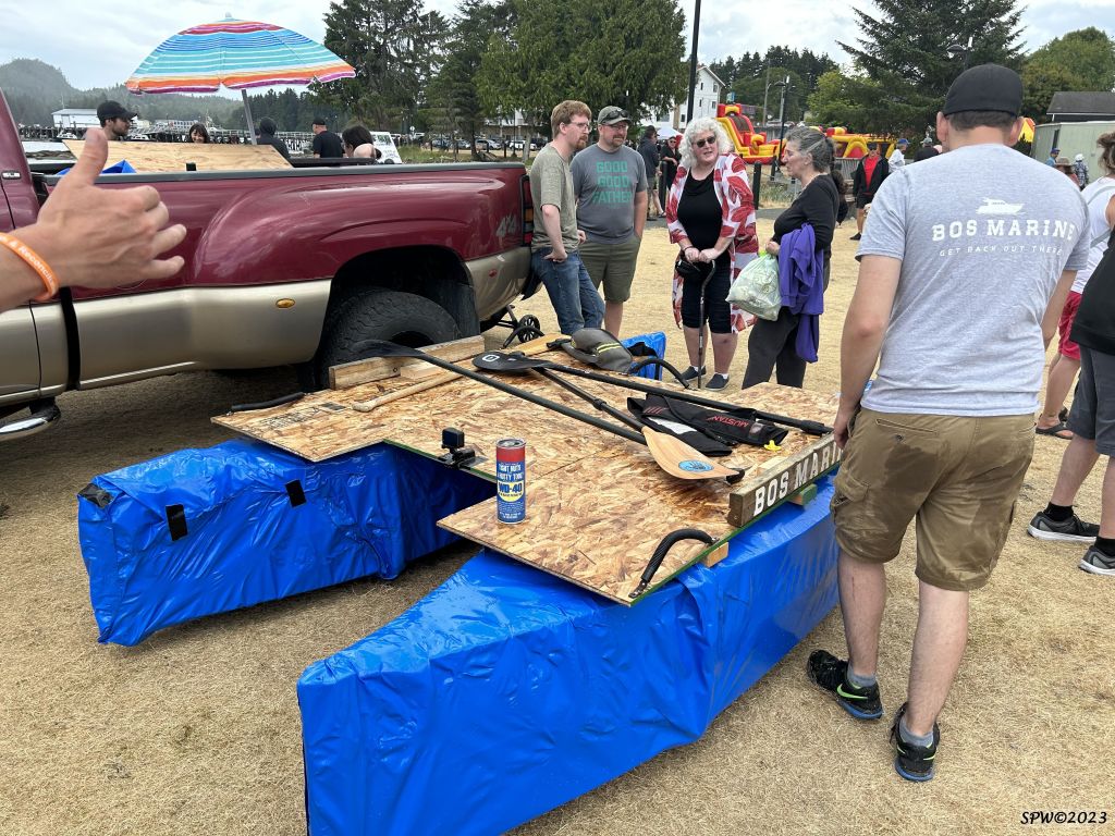
The Boat Building competition is another crowd favourite. The boats are usually designed prior to the event then each team has 3 hours to build their creation then launch it and try to steer the boat around a buoy and back to shore first without sinking! Each year we wonder what materials and designs will be effective (or not) and how many “boats” will successfully complete the voyage around the buoy. This year was particularly special as two of the competitors from the winning boat team were former students of mine. Congratulations Buddy and Adam!
Here are a few more random photos taken during FiLoMi Days in Port Hardy. It was a family friendly event and the weather was great! Although heads up…the ocean water is pretty chilly!
I hope you enjoyed this taste of FiLoMi Days weekend in beautiful Port Hardy, Vancouver Island. Thanks so much to the dedicated organizers of the event. I look forward to FiLoMi Days 2024! Cheers Sandy
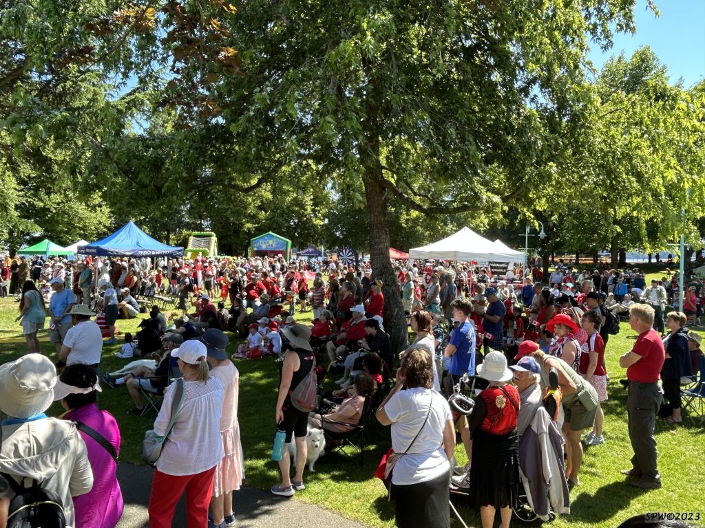
July 1st is Canada Day in our beautiful North American country. Citizens and tourists donned their red and white clothing, flags and decorations and headed to Maffeo Sutton park in Nanaimo to celebrate!
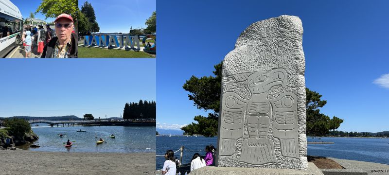
To encourage involvement of citizens in our small city of 106,631 (2023), the Nanaimo B.C. Transit bus system offered FREE shuttle service all day long from 2 local locations–our main shopping mall at Woodgrove located at the north side of the city, and our University of Vancouver Island campus. It was a fun option to ride the clean, efficient buses and not have to worry about locating parking space. There was also a FREE bike valet service provided at the city park location if you chose to ride down town.
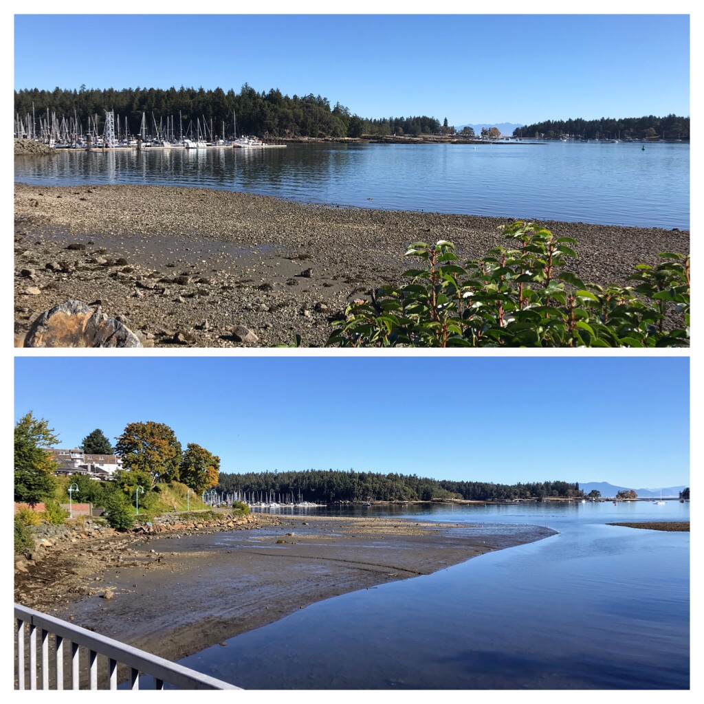
When we arrived at Maffeo Sutton park there were people learning to kayak in the lagoon area while others walked along the seawall or sat and admired the beauty of our oceans and nearby islands–Protection Island & Newcastle (Saysutshun) island.
It was beautiful to observe the diversity of culture, age, religion, and unique identities all sharing a peaceful, reflective, fun experience together.
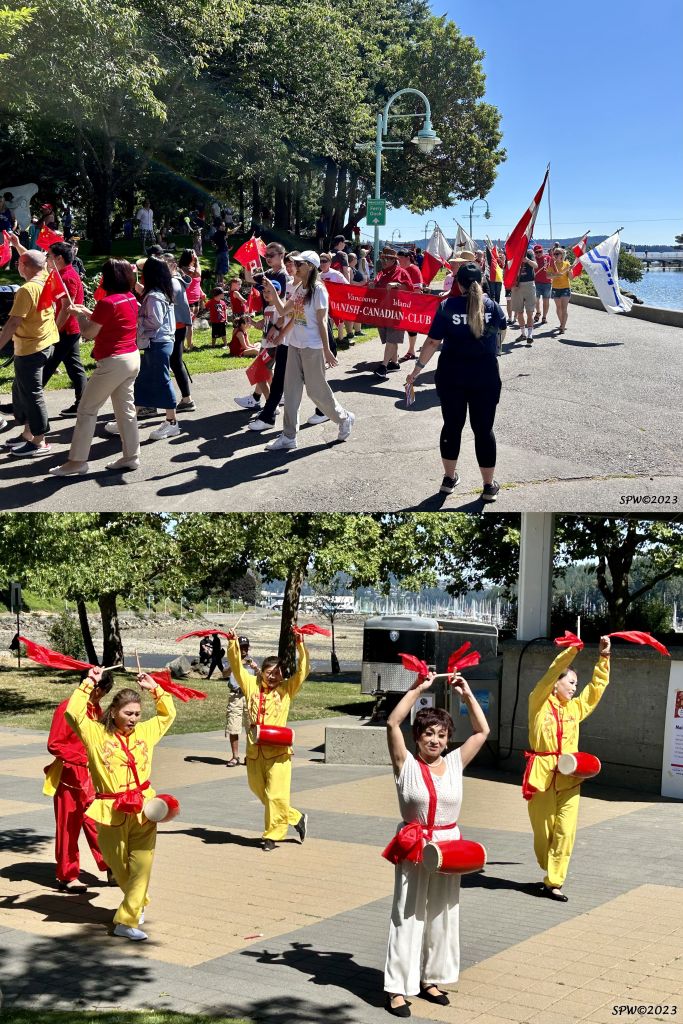
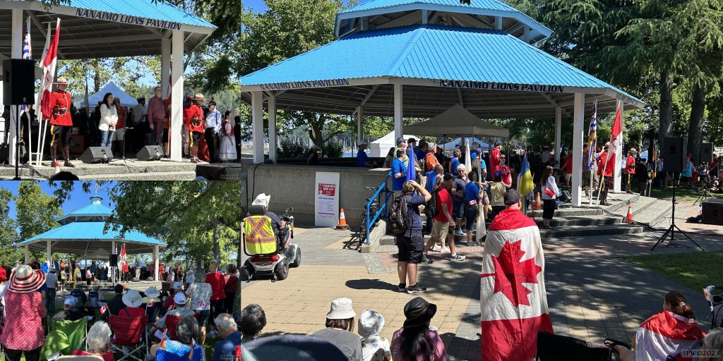
Prior to the official opening ceremonies at the Nanaimo pavilion, there was a flag bearer walk along the trail by the lagoon to the pavilion. A dance troupe sharing Chinese culture performed various times during the day.
Canada Day Flag bearer parade during opening ceremonies at Nanaimo
Following the Flag ceremony we gathered at the Maffeo Sutton Pavilion augmented by grassy open spaces, tents, healthy varieties of shade trees, and a glorious view of the Pacific ocean as we bonded together singing our national anthem… Oh Canada!
It felt so emotionally powerful to be singing our national anthem together on Canada Day — Oh Canada! Following our anthem, a few dignitaries welcomed all Canadians and tourists to the Canada Day celebration. Speeches were given by our current mayor of Nanaimo Leonard Krog; our two government elected officials–Lisa Marie Barron & Sheila Malcolmson; and also a touching reflection from a very grateful new Canadian citizen.
After the Opening Ceremonies concluded….it was time to explore all the entertainment, booths, and activities available around this beautiful Nanaimo park.
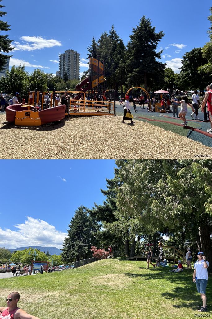
At Maffeo Sutton park you will discover a substantial children’s play area and even a summer time zipline experience available crossing over the lagoon. Can you spot the boy on the zipline approaching the landing spot?
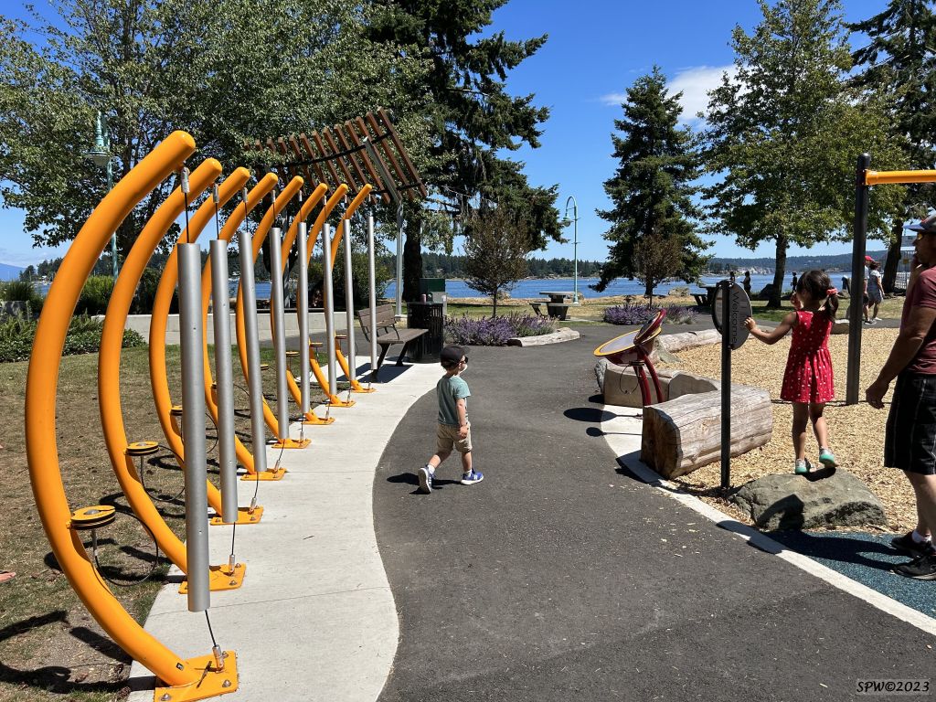
This is the musical section of the children’s play area. The drum kit seemed to be the favourite mode of creating music during our walk past the area.
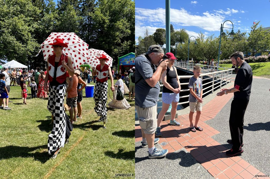
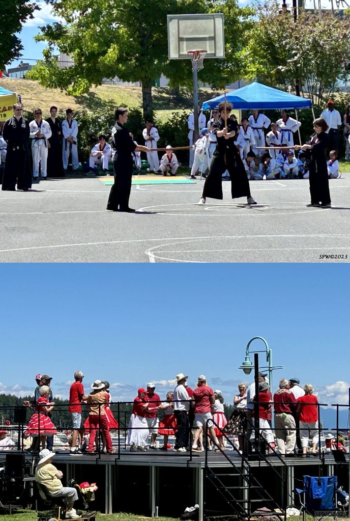
There were many people entertaining around the park area including guys on stilts and this talented magician. In addition to random entertainers, there was also a diverse list of different cultural groups performing from Flamenco and Chinese dancers to Square dancing!
These photos show demonstrations by a martial arts troupe and square dance performers.
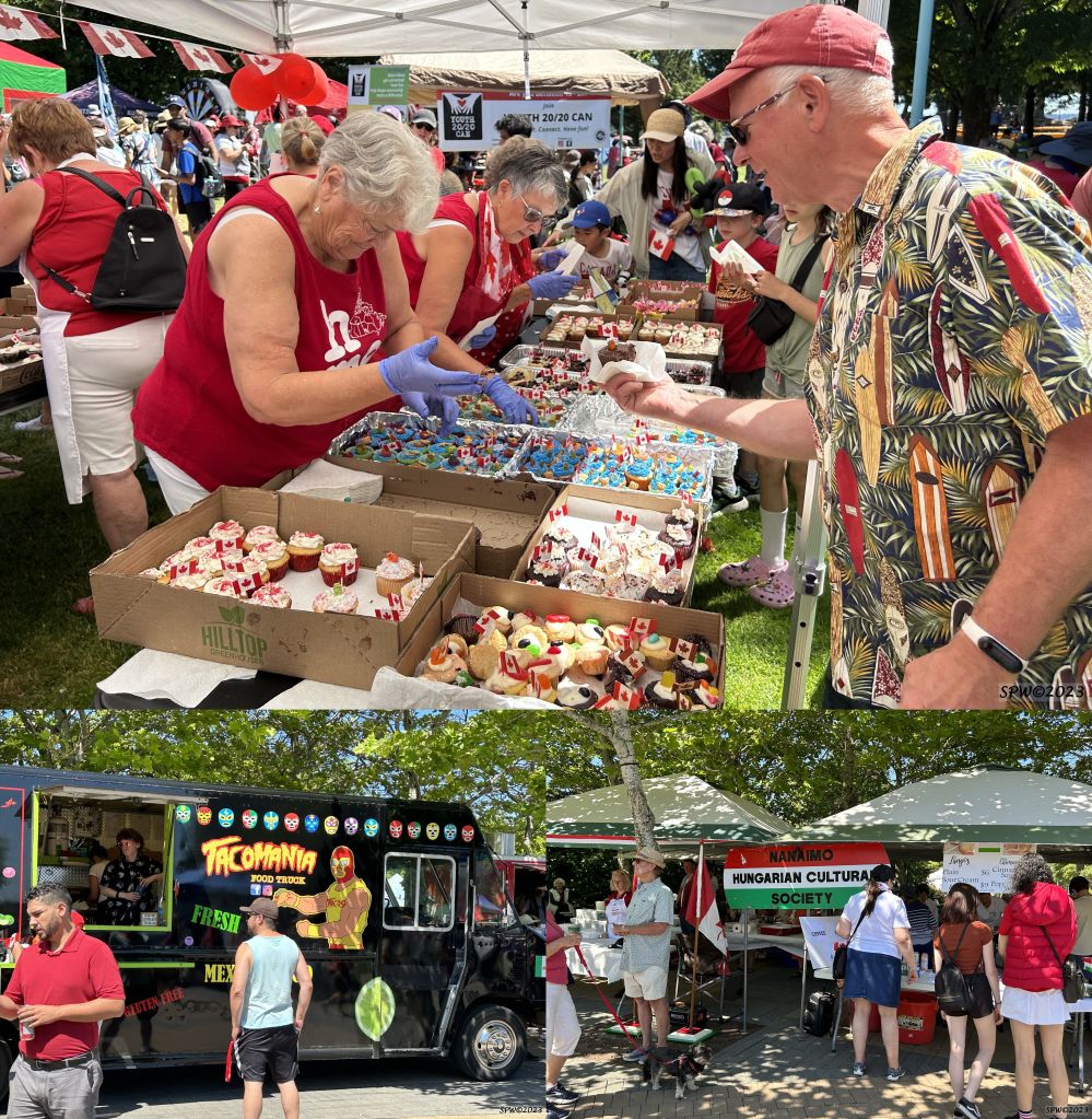
If you felt hungry….There were free Canada Day cupcakes! Or you could peruse the Food Truck/Cultural food area. These are only 2 of the food options available.
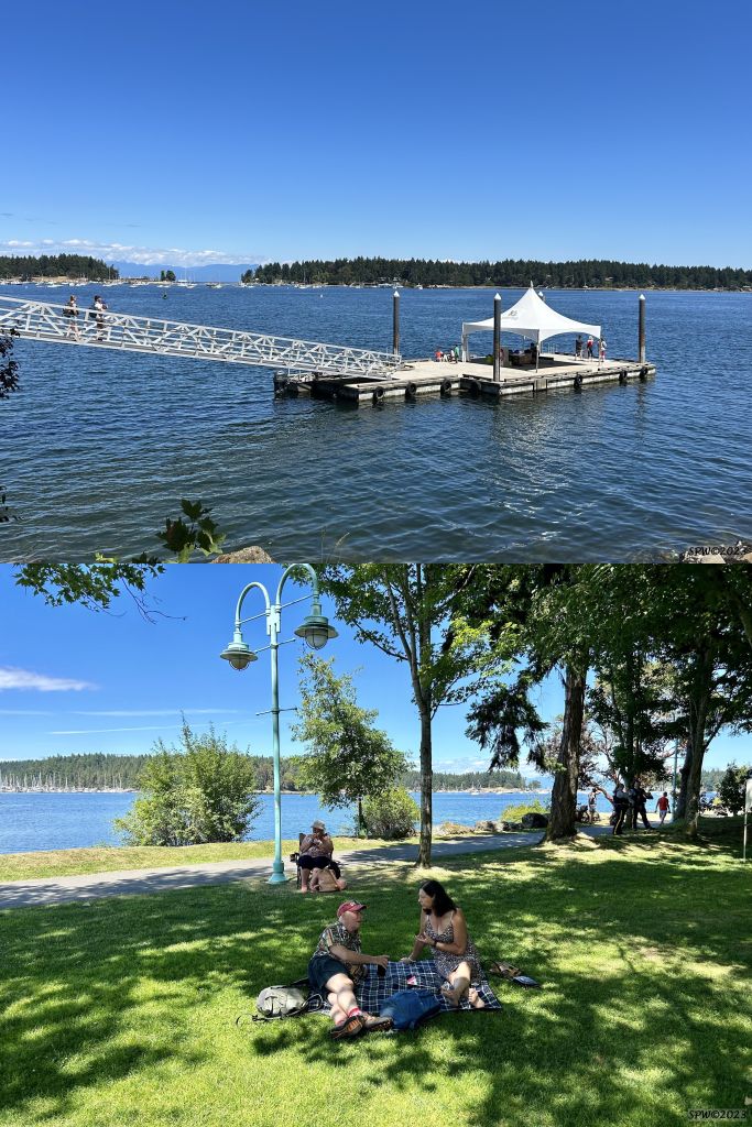
Or…If you prefer to enjoy the beautiful Pacific ocean surroundings, there are regular small ferries available over to nearby Protection or Saysutshun Islands. You could walk along the seawalk path, explore the wharf side markets, or just chill on a blanket on the grass.
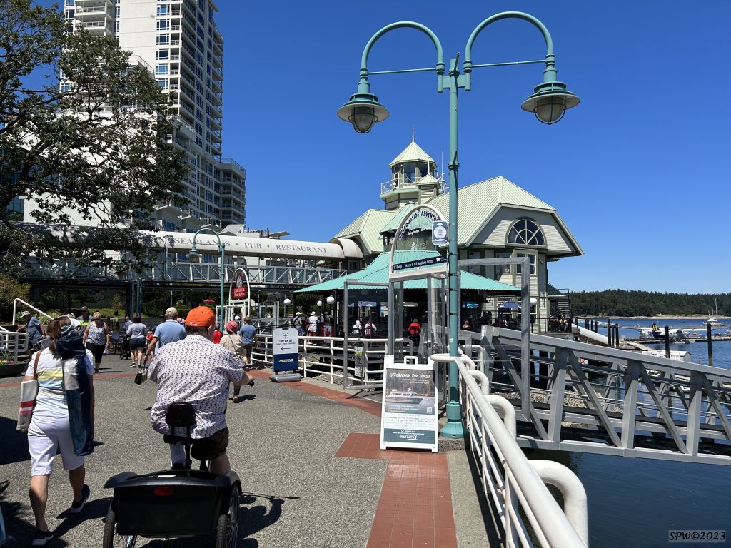
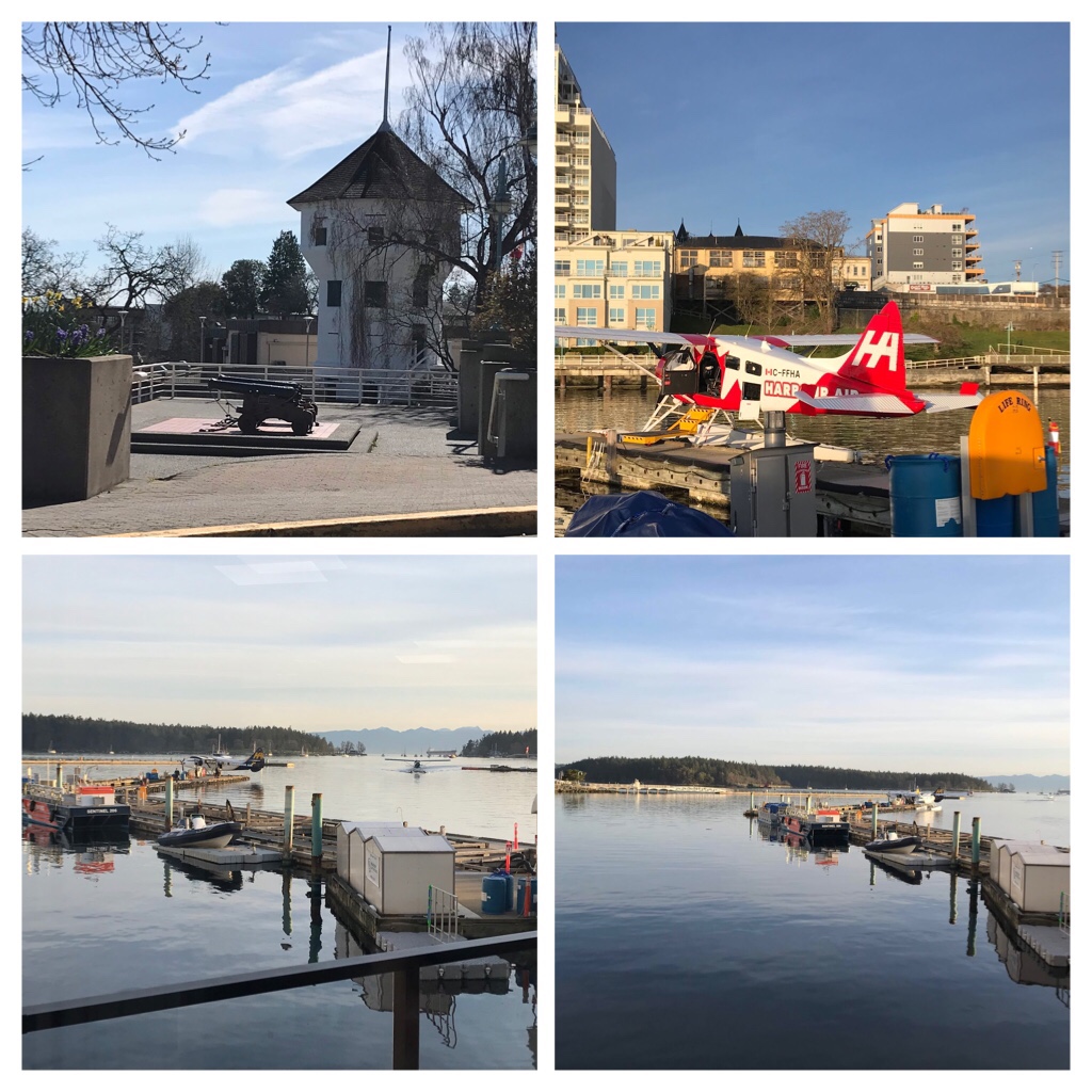
This photo depicts the seawall path by the float planes and close to the marina area. There are several ice-cream/gelato shops along here. One shop produces homemade ice-cream including the famous Nanaimo bar flavour!
Canada Day in Nanaimo, B.C. was a ton of fun! It sure feels great to be free of the Covid masks too!
We are looking forward to next year’s events and all the upcoming Vancouver Island summer festivals!
Cheers from Vancouver Island. Have fun exploring. S
Covid lockdowns may be challenging and you may feel confined both by your face masks and need to remain physical distanced. However, there are so many wonderful places to safely explore outdoors which can improve your mental health by promoting some much needed exercise, and connecting you to nature.
Hiking and exploring the Trans Canada Trail around south Nanaimo
Today’s blog post will explore one small section of the Trans Canada Trail!
Click the photo to Learn about Exploring the Trans Canada Trail
The section of the Trans Canada Trail we are exploring today is located in the Regional District of Nanaimo (Vancouver Island) which includes Extension Trail and the mysterious Abyss and spiritual Labyrinth.
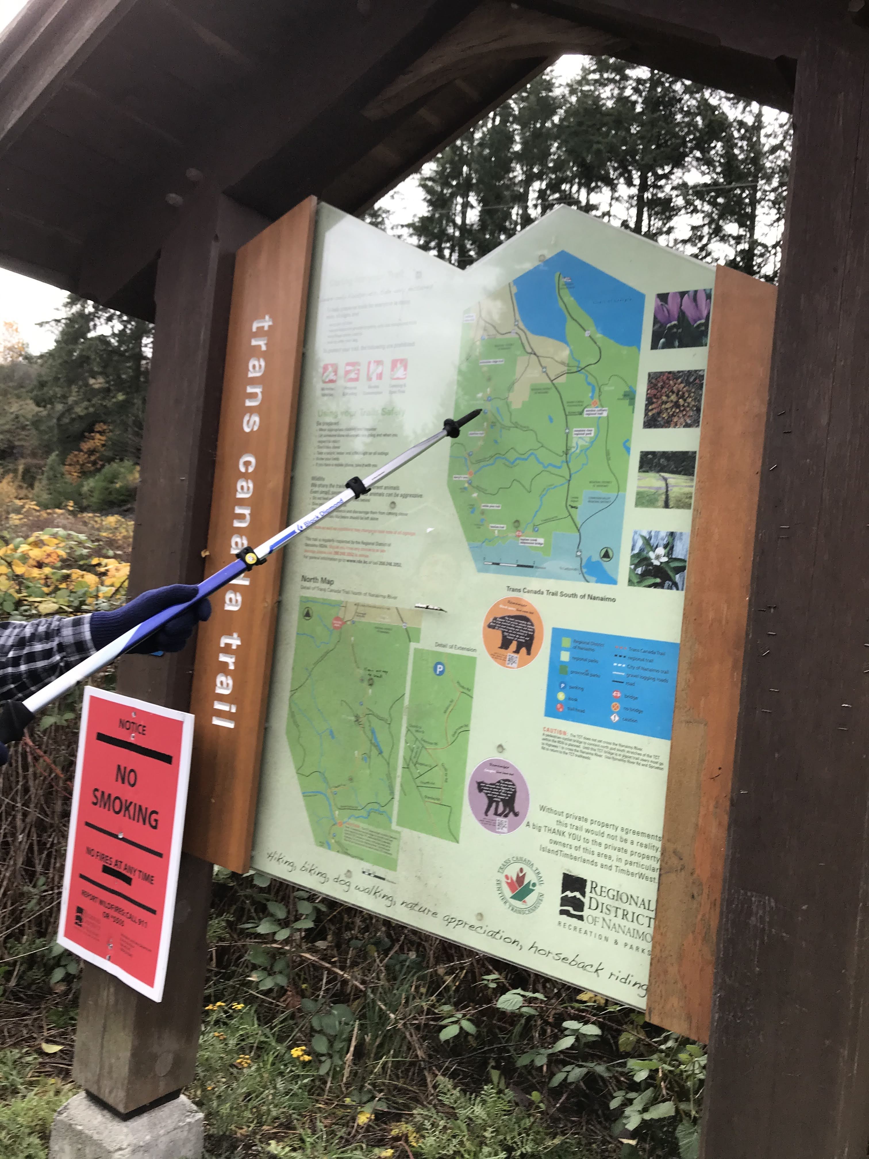
The Regional District of Nanaimo map illustrating our days hiking excursion route.
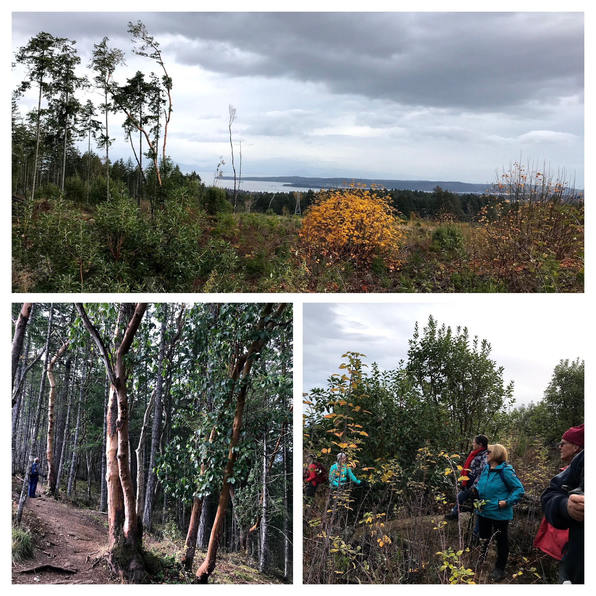
The photos on this blog post reflect two separate hiking excursions–both occurring during autumn (October 8th and November 5th). This is a lovely time of the year to go hiking around Vancouver Island as the weather is a bit cool, there are usually very few annoying flying insects, and snow and ice have not yet arrived.
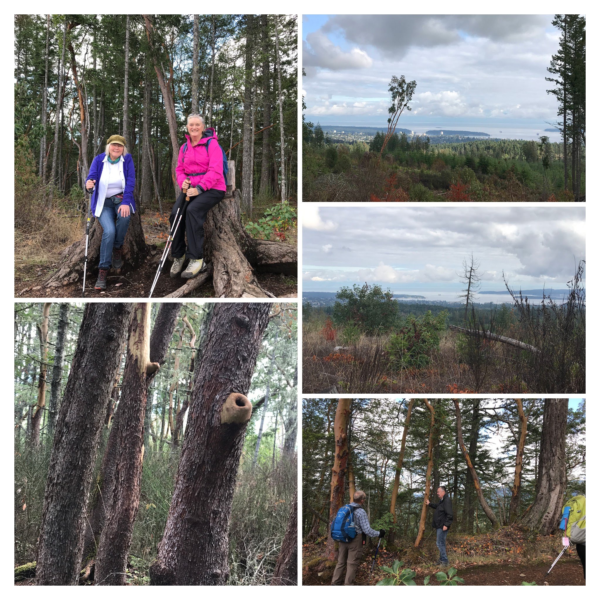
The Extension Ridge Trail. My friend and I perched on the lookout stumps named “The Thrones”.
The deciduous trees have started dropping leaves which provides colorful surrounding foliage. Sometimes it can be a bit wet or muddy in sections; but if you wear good hiking boots and use walking poles (optional), this is a fun way to connect with nature, breathe fresh air and get some exercise!
In addition to coniferous trees (Cedar, Hemlock, Douglas Fir, Pine), there are great quantities of Arbutus often shedding their reddish bark along this trail.
There are extensive trail options to explore. It is a fascinating geological area as the Nanaimo region has an extensive history of coal mining and is also in an earthquake zone.
There are signs indicating “Keep dogs on leashes” posted around the Abyss.
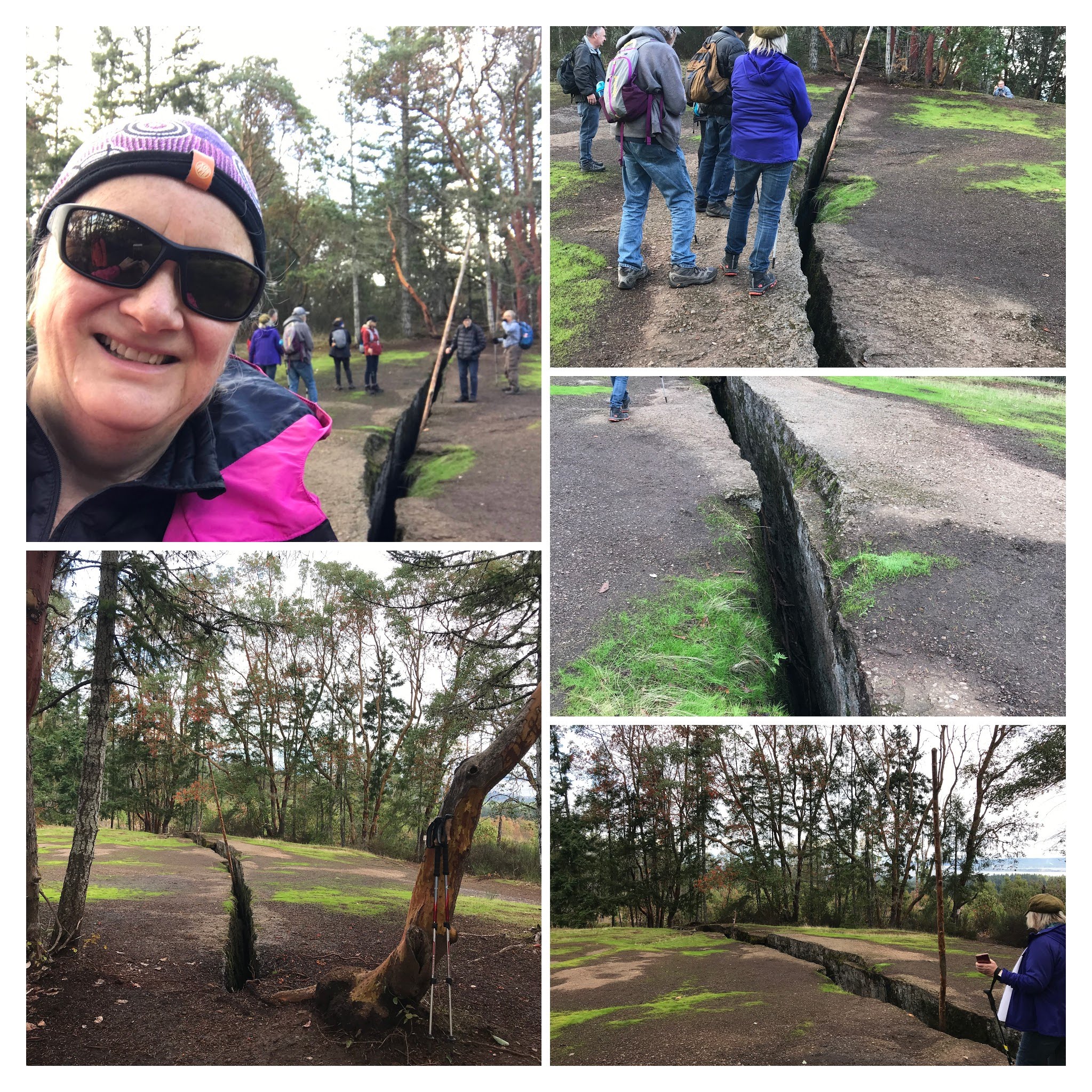
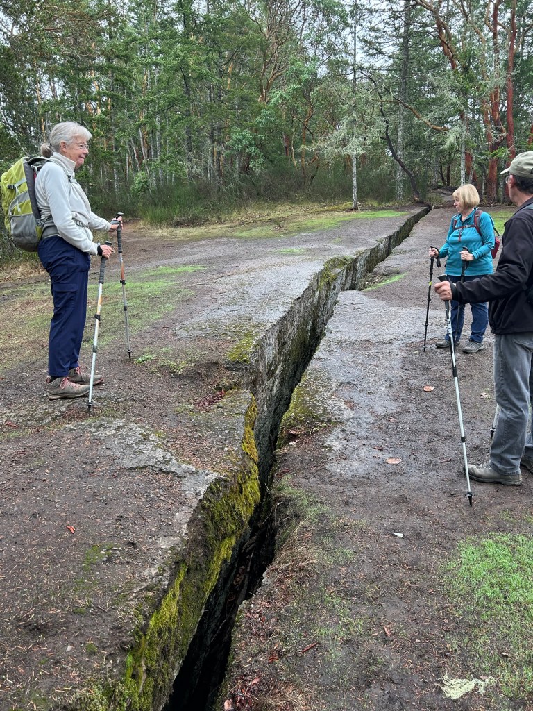
The “Abyss” is a famous natural landmark on this trail. The origin of this substantial deep crack is attributed to a combination of underground coal mining and more recent earthquake activity. In spite of its obvious safety hazard, nearly every year rescue personnel are called to try and save dogs that have fallen down into the deep crevice!
My HCNC Hiking Group checks out the depth and length of “The Abyss” crack!
This following blog post from Tourism Nanaimo offers additional information about these trails and their history.
Click the photo to learn more about The Abyss from Tourism Nanaimo
Continuing along the Extension Ridge Trail past the Abyss, you will encounter more Arbutus forests and stunning views of the ocean and surrounding islands. There is a lookout spot with two large stumps which the locals call “The Thrones”.
The “Thrones” and beautiful views of the ocean and surrounding islands.
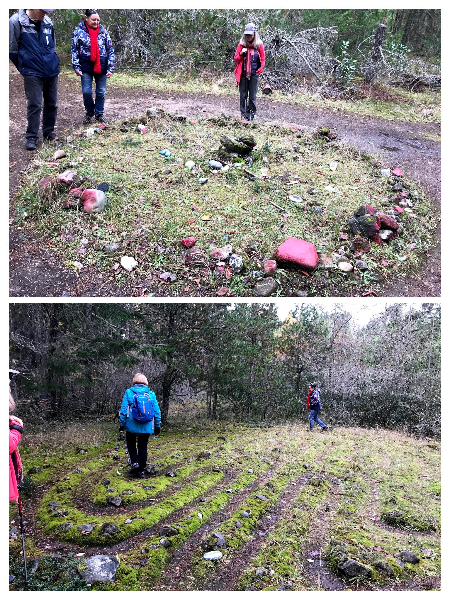
When you arrive at the “Fairy Circle” junction you can select your next path choice. If you head left, you will discover “The Labyrinth” where you can quietly walk through the maze and meditate or contemplate life.
The Fairy Ring and The Labyrinth on Extension Ridge Trail
This interesting moderate level hike takes about 3-4 hours to explore. There are lots of adjourning trails so your adventure could easily continue much longer if you wished.
Future blog posts will share more beautiful hiking locations around Nanaimo and trips exploring southern Vancouver Island.
Keep safe and keep optimistic. Cheers. S
Update: October 2023 This is an addition to my blog post in response to a question I received this month from a reader.
When I first hiked and explored the “Abyss” the two sides of rock appeared fairly even in height as shown in these previous google images.
Images of the Abyss shown on the web.
During our most recent hike a few weeks ago we all noticed that the two sides of the Abyss appeared to have changed in height difference… hmmmm? Is it our imagination or is a force changing the levels of the surface?
October 2023. Is a slight slide in the crack occurring?
Introducing Harewood Colliery Dam Park–officially recognized as one of Canada’s Historic Places. This blog post is dedicated to explaining some of Harewood Colliery Dam’shistorical significance while illustrating the beauty and features related to my theme of Hiking trails around Nanaimo, Vancouver Island.
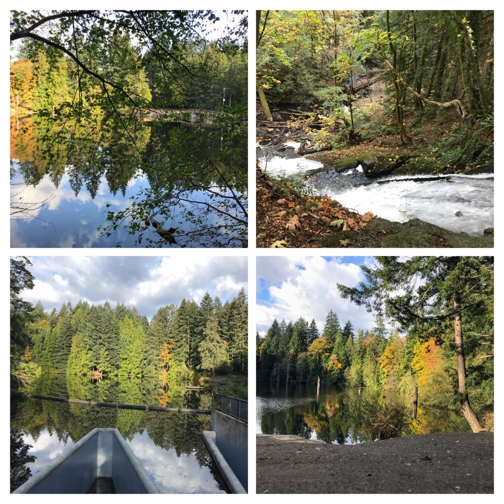
Colliery Dam Park during Autumn (October).
The Colliery Dam Park, at 635 Wakesiah Avenue, is a popular destination in Nanaimo for a multitude of reasons. Parking is available in several locations around the park. There is wheelchair access to the first lake which is a popular picnic spot during summer. Fresh water swimming (no lifeguards) and fishing is permitted in the lakes. Although dogs must be on leash on the majority of the trails, there is an off leash area with lake access on the upper dam. The trails offer a variety of fitness options from easy to fairly steep climbs.
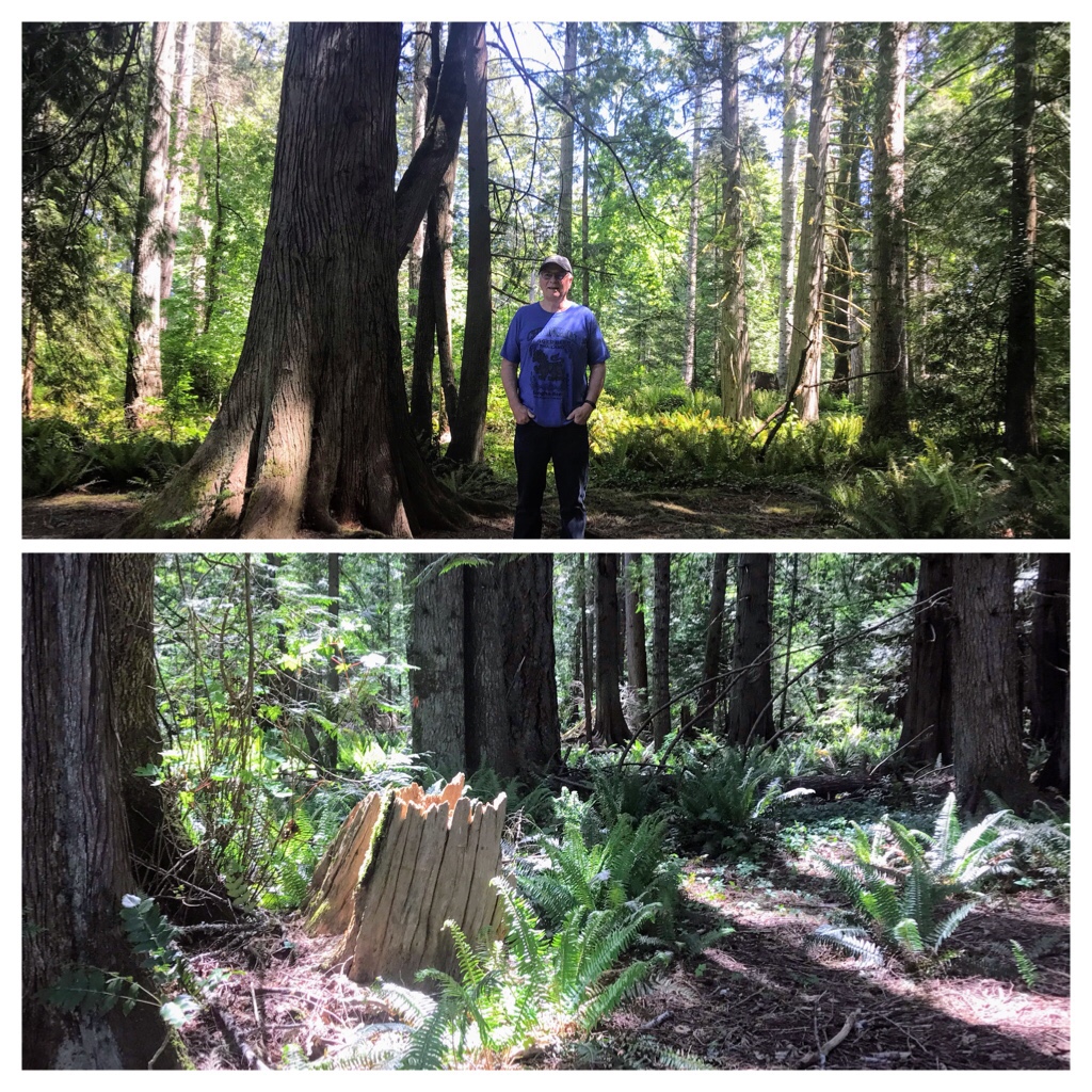
Colliery Park trails—May
In addition, Colliery Dam has historical significance to the Nanaimo area. The Dams were built in 1910-11 by the Western Fuel Company. Originally the water was necessary in coal mining to wash coal, and be utilized by miners, mules and horses. Many of the homes in the historic area of South Harewood eventually gained access to, and benefitted from, this fresh water supply.
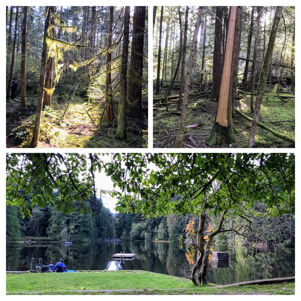
The photos I am sharing of Colliery Dam Park were taken on several walks and hikes in the park during mid May, September, and October. We avoided the summer months, as this popular park gets too busy for our Covid safety comfort level.
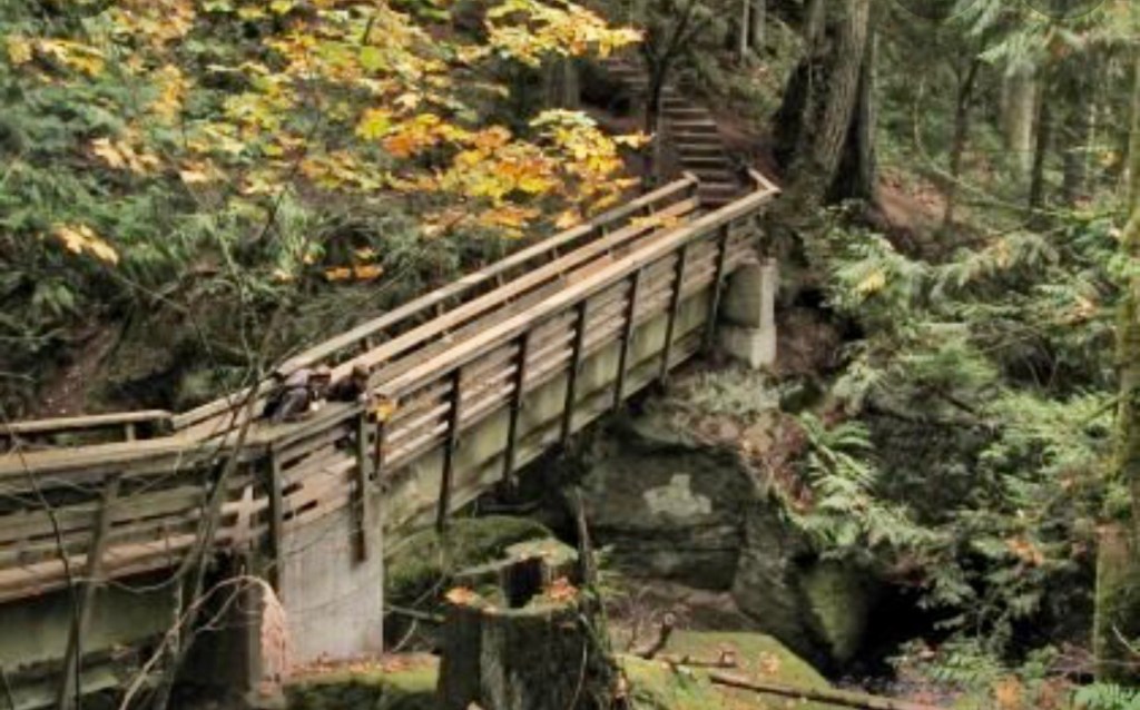
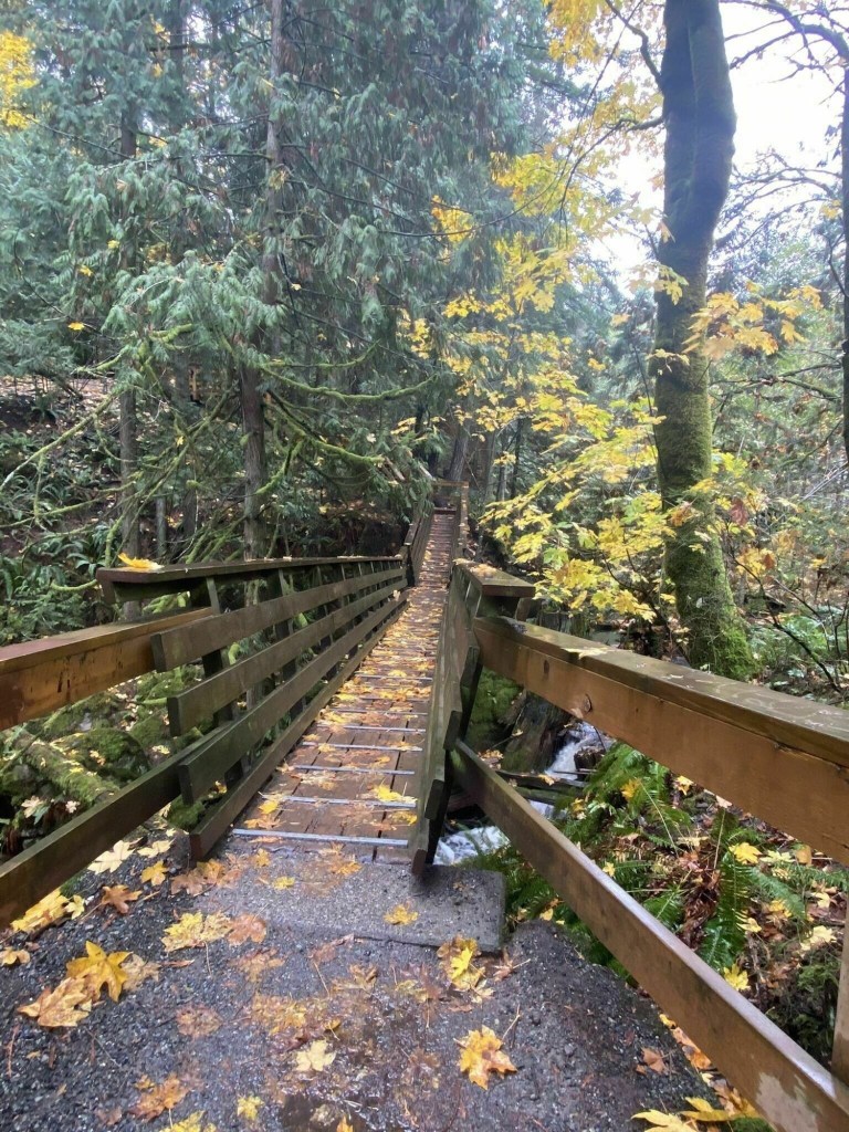
Autumn—some of the wooden bridges and stairs sections along the trails.
The following photos were taken during autumn (September and October) on some more challenging trails around the park and surrounding areas.
Autumn. Colliery Dam Park.
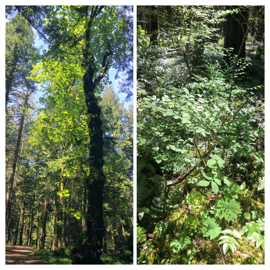
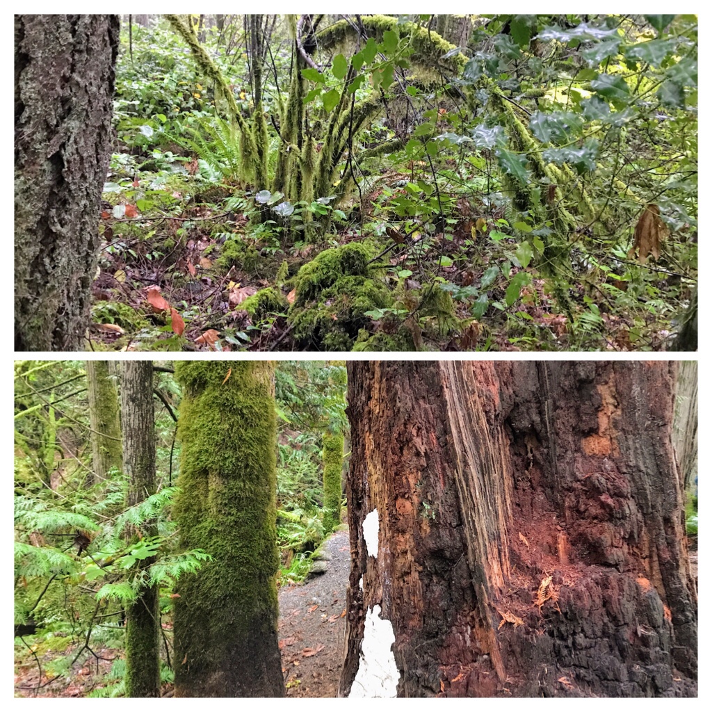
The deciduous trees are dropping their leaves — particularly the giant Maples. It’s a harvest feast of colour and lush undergrowth. Note the cedar stripped off the trunk of the cedar tree. Aboriginal People traditionally used cedar to create art, baskets, regale, and hats. Cedar bark is stripped in a lengthy narrow section, then the chosen tree will be left to heal and continue growing.
Autumn hiking group soaking up the lush rainforest.
Feeling the richness of the woods around us…
Autumn—Colliery Dam
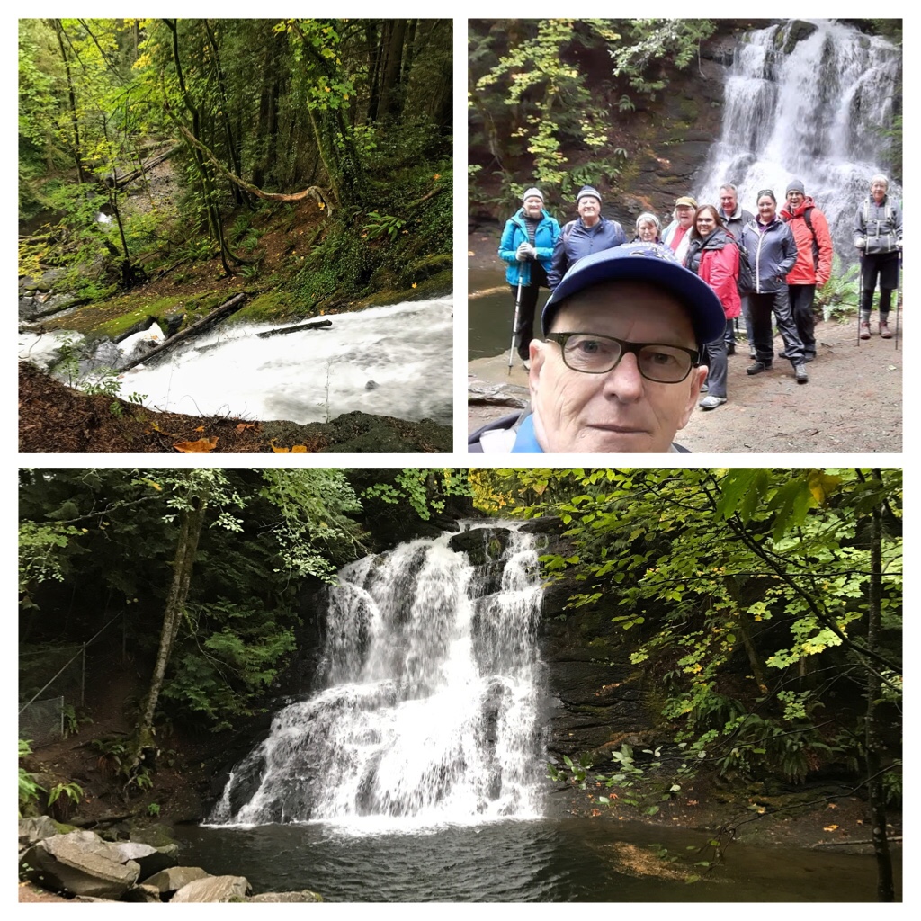
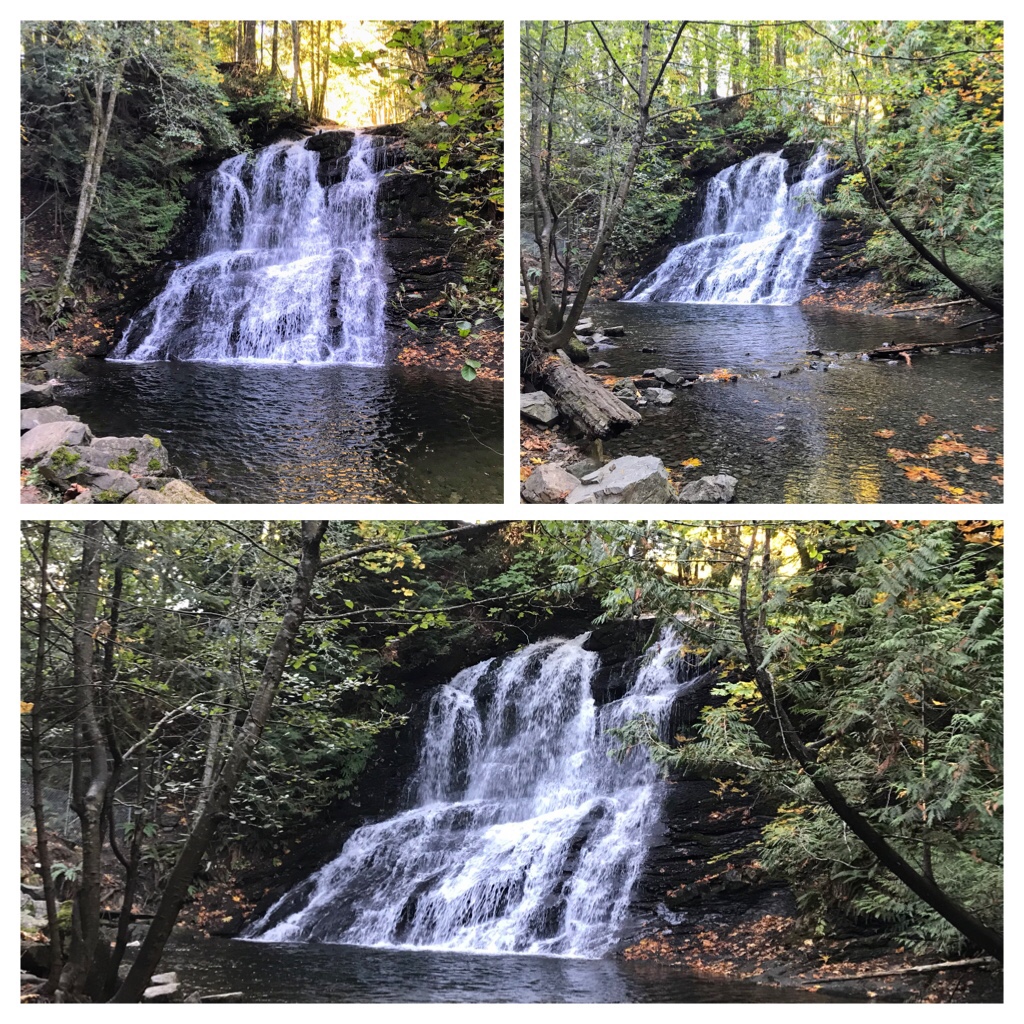
Time for our photo shoot beside Granny Falls (also known as Chase River Falls).
2 photos of Granny Falls —Autumn
Compare Granny Falls a month later…
Granny Falls (Chase River Falls) Colliery Dam
Another interesting site to explore is the tunnel of graffiti! It’s a fun art experience for all.
The tunnel of graffiti!
Since Covid 19 surfaced, a covid face mask mysteriously appeared inside the tunnel protecting Marilyn Monroe’s stunning face.
Bridges and trails around Colliery Dam—October
There are many trails to explore around the Colliery Dam Park. I will return again soon! In the meantime, there are other hiking locations to explore and Sophia’s (our cat) antics to share.
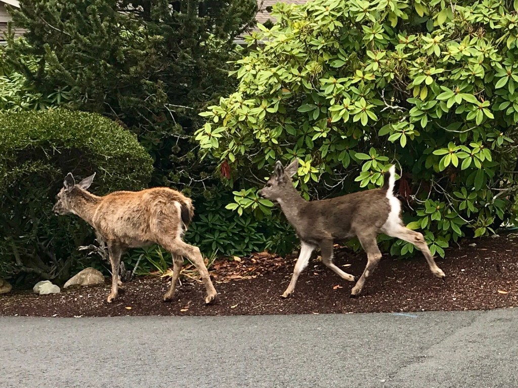
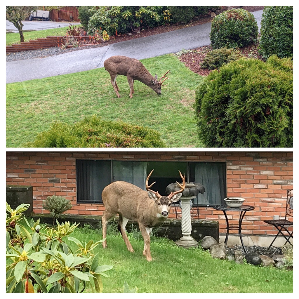
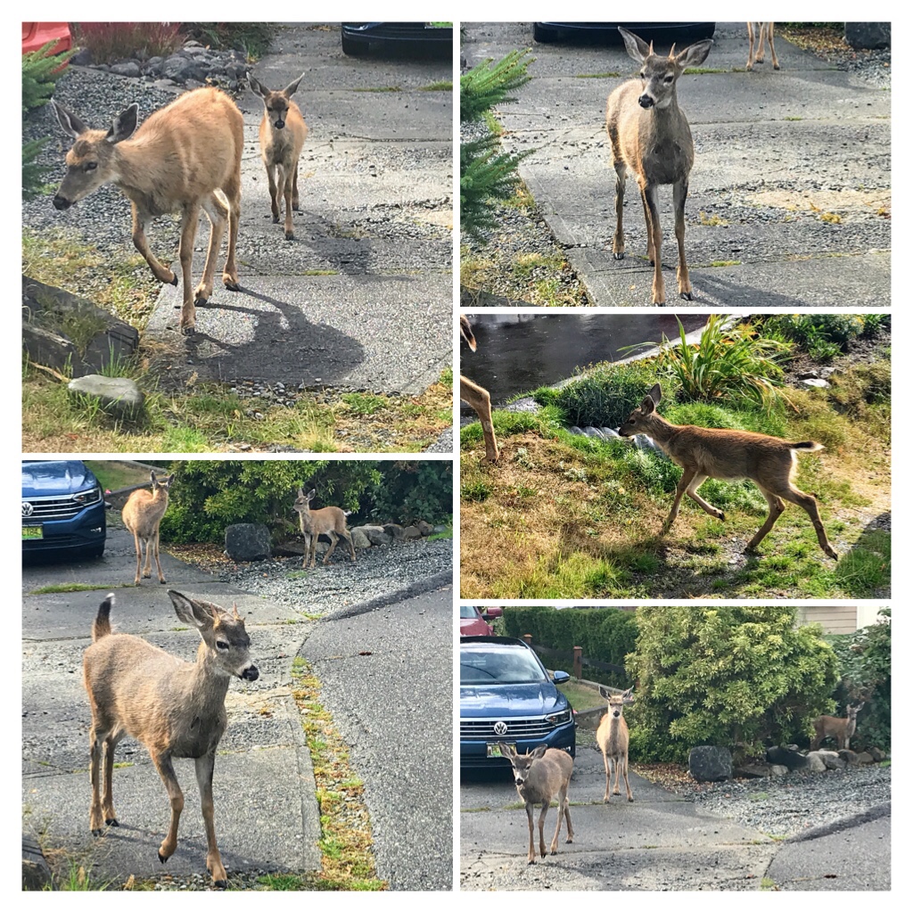
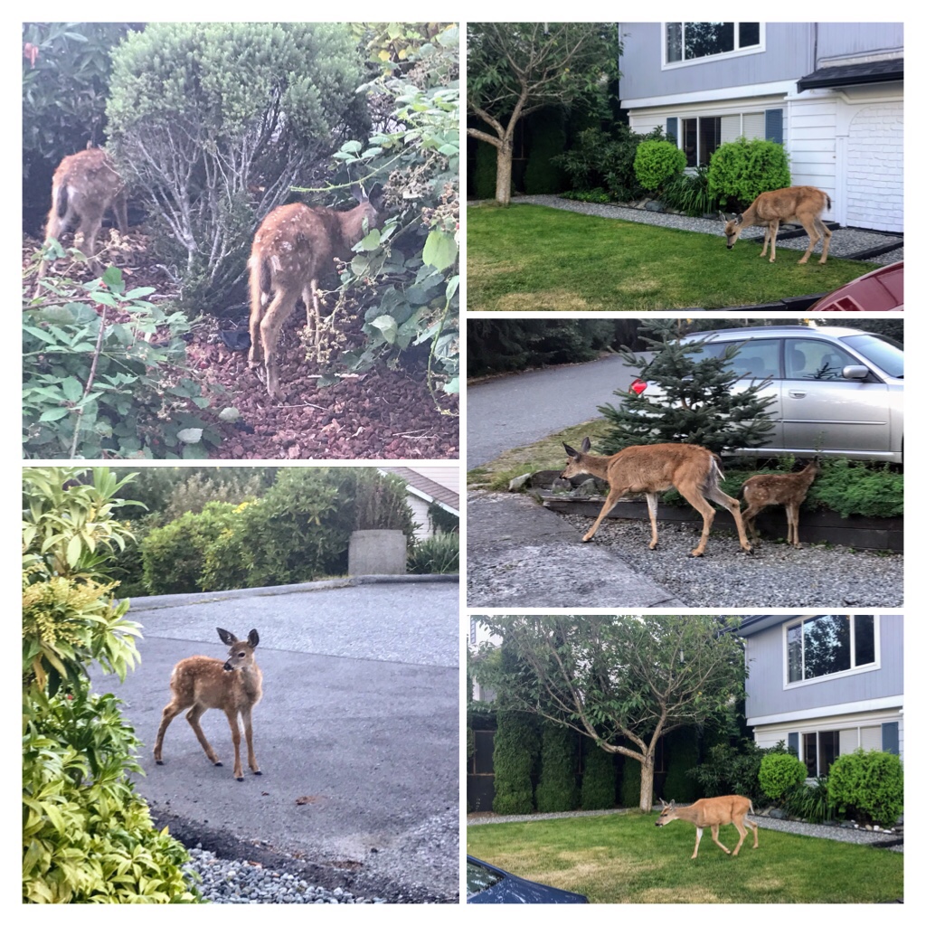
On Vancouver Island, according to the B.C. Ministry of Environment, Conservation and Parks there are 150,000 to 250,000 Columbian Black-tailed deer. These deer are identified by their large mule-like ears, a white rump and an all-black tail.
Black-Tailed Deer
The population of Columbian Black-tailed deer (subspecies of the mule deer) fluctuates based on a variety of reasons. This Discover Vancouver Island website contains interesting facts about Black-Tailed Deer from general habits and mating, to their life cycle and food choices. https://www.discovervancouverisland.com/wildlife-on-vancouver-island/black-tailed-deer/
An informal consensus with friends typically divides people’s opinions on our Black-Tailed Deer population into 3 categories: hunters (fresh wild venison), gardeners (annoyed by the foliage consumed by deer), and nature lovers (adore watching the deer and encourage their presence).
Sophia (our cat) watching the Deer family grazing in the front yard.
I must confess, our household has evolved into a combination of the 3 categories. Although we do not hunt, a gift of lean wild venison is a delicacy we greatly appreciate.
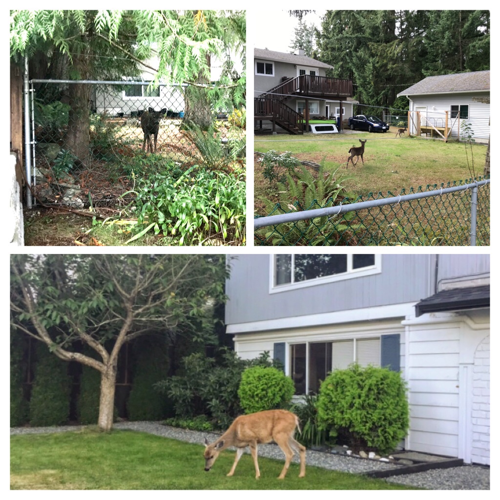
Fenced backyard… open to graze in the front yard
Our backyard is fully fenced in order to keep the deer out. They quickly consume fresh veggies, flowers, and new growth on plants. However, our front yard is free territory for deer to graze and wander or relax.
As the seasons rotate, we find ourselves curious about the upcoming new fawns and look forward to observing the deer family behaviors and interactions.
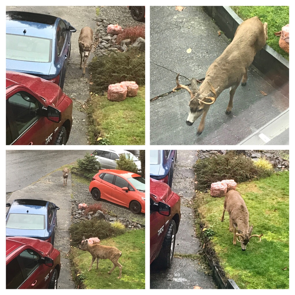
Rutting/mating Season! This big buck suddenly started showing up and chasing the does!
At present… It isNovember (AutumninCanada). To our Black-Tailed deer this means it is rutting/mating season! We can hear the Bucks (males) crashing their antlers together as they fight to establish dominance!
Another big buck recently appeared… The doe started running away when she saw him heading her direction–right beside our vehicles!
We observe the Does (females) pushing away their 1 1/2 year old sons. It’s time to leave mom’s company and become independent. The does will be in heat soon and inbreeding is not encouraged!
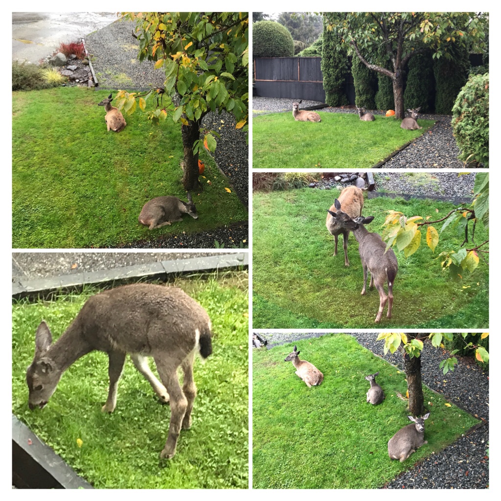
This was a family unit that frequented our yard until this past month. Momma doe is now being chased by big bucks. This year’s fawn remains with her. Last year’s fawn (buck) now has spike antlers and momma has chased him off to be independent.
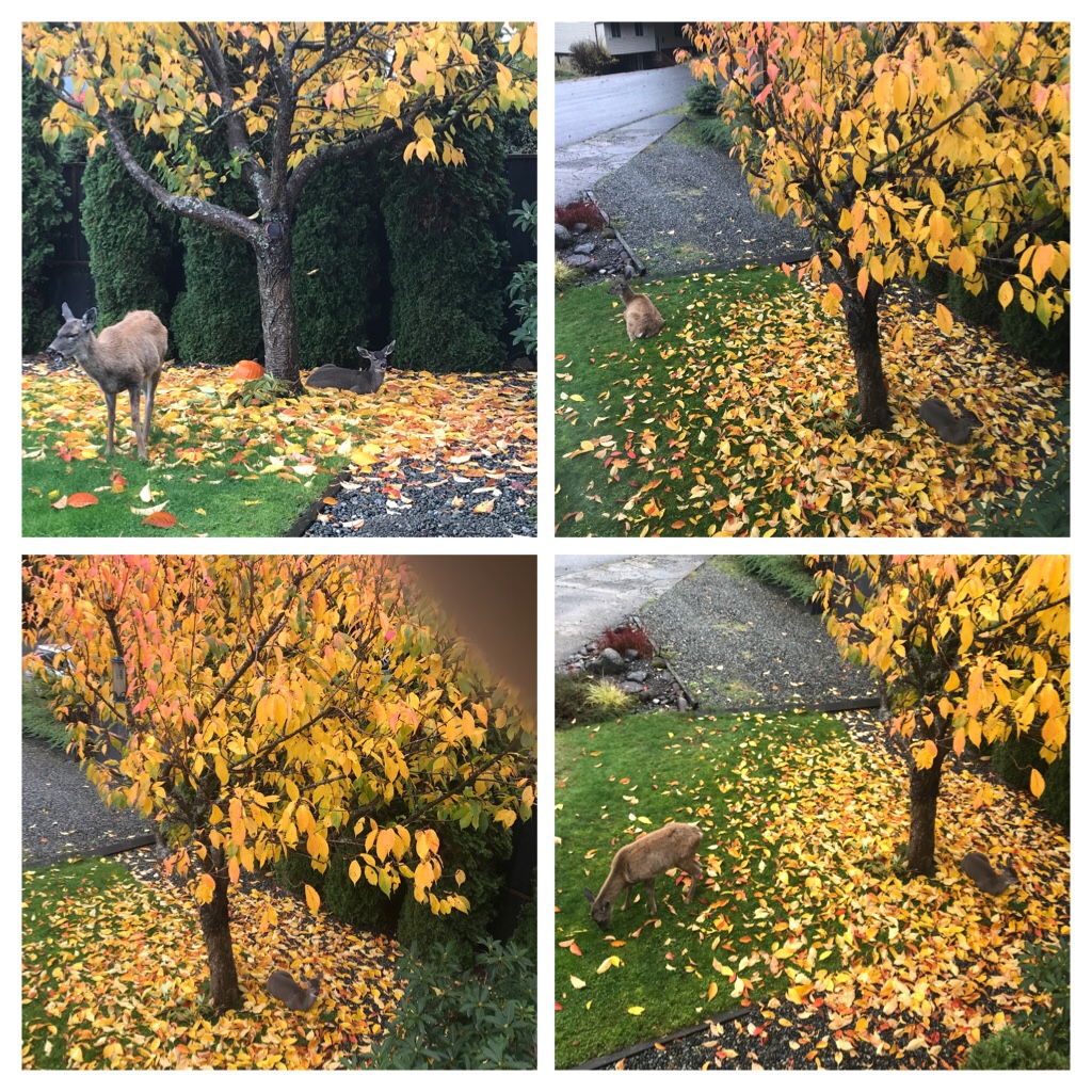
By late October … Spike was not included when momma doe and this year’s fawn wandered through our yard to munch on newly fallen leaves and grass. The fawn seemed to enjoy resting on top of the autumn leaves.
Late October…. Spike was no longer part of the family unit.
Dominant bucks suddenly appear during daylight hours to mate and chase does. The bucks remain by the doe’s side for several days while she is in heat.
Bucks remaining by doe’s side during her estrus period.
Reflecting back to September andOctober, the deer family units were still intact in our neighborhood. Momma doe had been injured on her back leg and she continues to lick the wound regularly and struggle to walk. This year’s fawn is usually close beside her and rarely wanders out of her sight. Last year’s fawn has grown into a healthy young buck and is now sprouting spikes on his forehead!
Our usual deer family—including Spike!
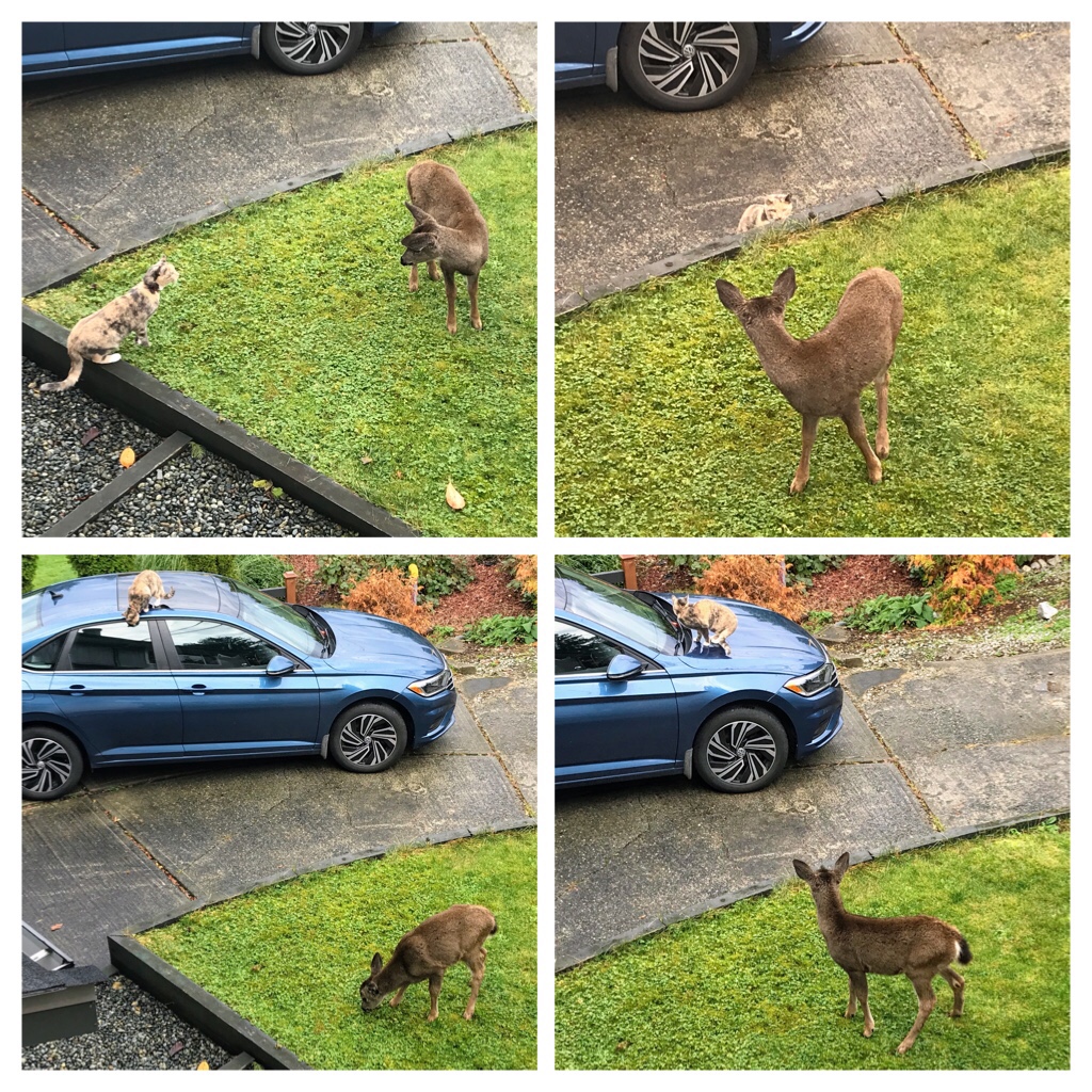
Our cat, Sophia, continues to be fascinated by the deer family–mainly the youngest fawn. They watch each other from a distance, and naughty Sophia even sits on the roof of the vehicles to increase her safety and view.
Sophia and the fawn playing in our yard.
Sophia watching the action from a distance!
Sophia and the fawn! October 2021
Once a doe falls pregnant, the gestation period is nearly 7 months long.
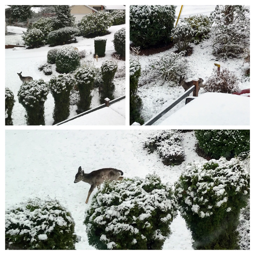
We don’t see our urban deer as often during the winter months
During the winter the deer cope with the colder temperatures by hiding under foliage and growing thick coats.
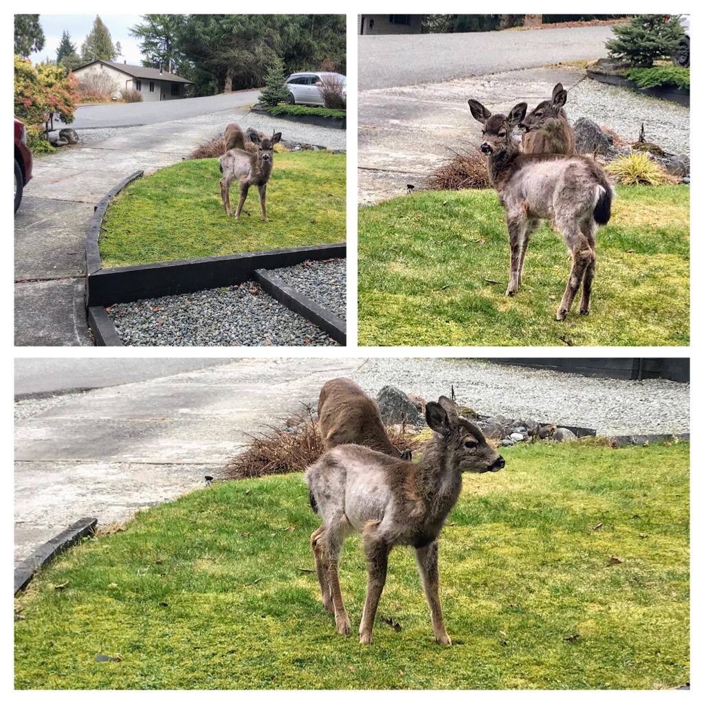
Momma and last season’s twins
Last March a momma doe and her twin fawns popped by to graze in our yard.
The deer are in the process of shedding their thick winter coats! (March)
The majority of fawns are born during May/June in our area. Twins are common, but young does sometimes only produce one fawn.
The new spotted fawns finally venture out to visit! Summer
On Vancouver Island, the major predators for black-tailed deer are: humans, wolves, cougars, and occasionally Black or Grizzly bears. Lynxes and wolverines are additional threats on the coastal mainland of British Columbia, but do not exist on Vancouver Island.
A new threat is making the news in the past year. AHD (Adenovirus Hemorrhagic Disease), is a contagious virus killing black-tailed deer on Vancouver Island and the surrounding Gulf Islands in B.C.
Apparently, the disease is only found in deer populations and spreads mainly through nose-to-nose contact. Information is accumulating about AHD on many veterinarian and hunting websites.
Dedicated to our neighbourhood Pacific Northwest Black-tailed deer.
We are entranced by our urban black-tailed deer families and look forward to observing visits each day. Keep safe and keep healthy my cervidae friends. Winter is coming!
Upcoming posts will be about antics of Sophia and more hiking adventures on Vancouver Island.
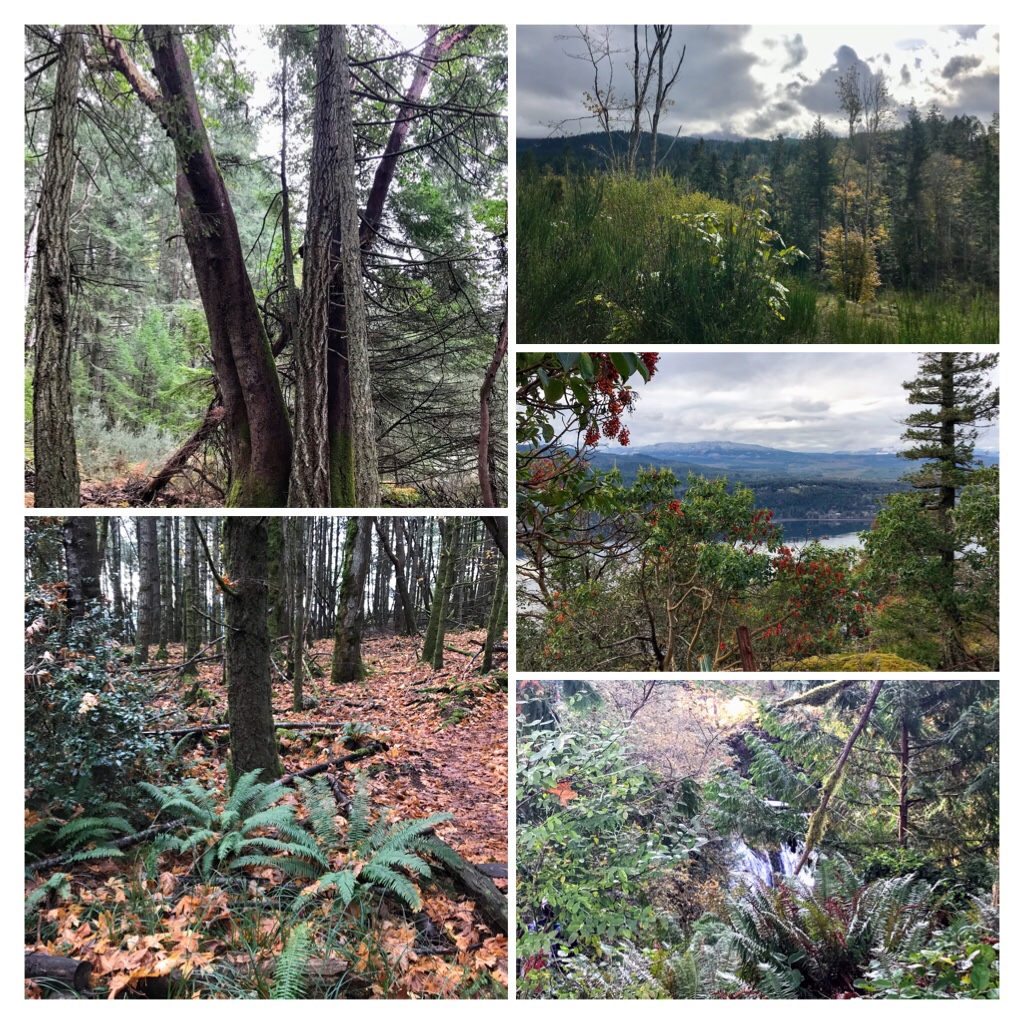
Vancouver Island is a nature lovers’ paradise. If you love to be outdoors and explore nature, there are endless possibilities around our beautiful Canadian island. This blog post discusses day hiking options around NanooseBay, British Columbia.
Colorful autumn hikes around Nanoose, BC.
If you commence your hiking trips from Nanaimo, NanooseBay is approximately 30 km or about 30 minutes drive northwest via the Island Highway 19 N (North).
Popular hiking trails at NanooseBay include: Enos Lake Trail, Notch HillPark, Notch Hill Loop Trail and Bonnell Creek Falls. It is easy to search for information about hiking trails in this area, but a source recommended by many local hikers is https://www.alltrails.com/canada/british-columbia/nanoose
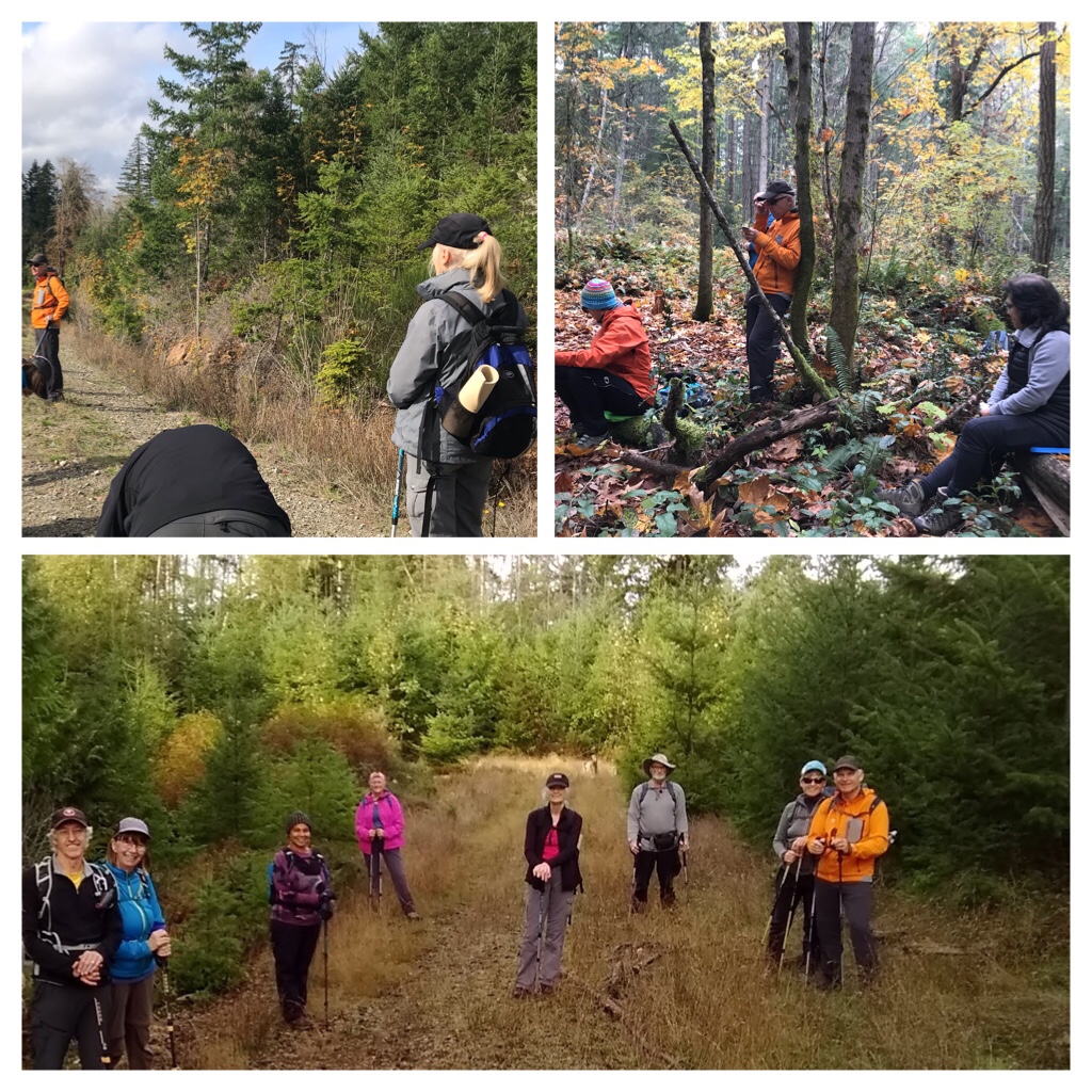
Due to reaching herd immunity (over 85% of people over 12 are now fully vaccinated against Covid 19 in my Canadian province of British Columbia), hiking groups are now allowed to explore once again! We are all covid careful and everyone has to show their covid vaccine QRCode passport in order to join the group.
Covid style hiking groups
Let’s go hiking!!!!
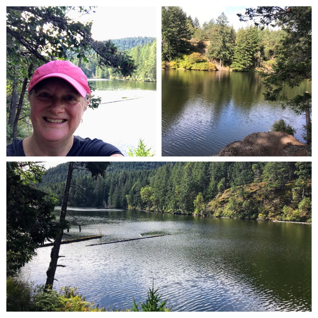
This is Enos Lake hike in September. The weather was sunny and warm. The deciduous trees were only starting to change colours. This is a gorgeous lake hike with many trails to explore.
Enos Lake, Nanoose Bay
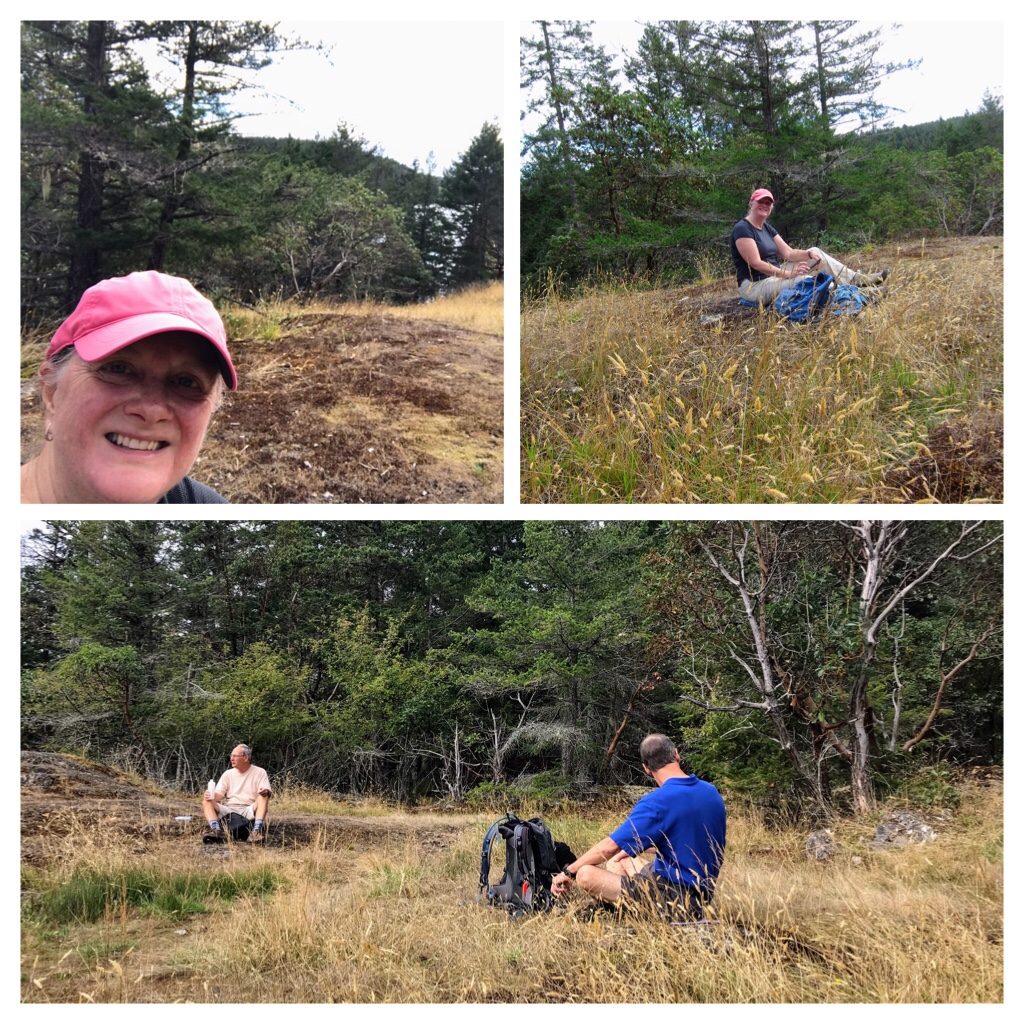
We stopped to have a break and eat a snack on a grassy spot up the hillside above the lake.
Hiking break at Enos Lake Park trail
A week later, our hiking group explored trails closer to the Lantzville side of NanooseBay. It was another sunny September day. We did not require jackets or toques yet.
Lantzville area hike in September
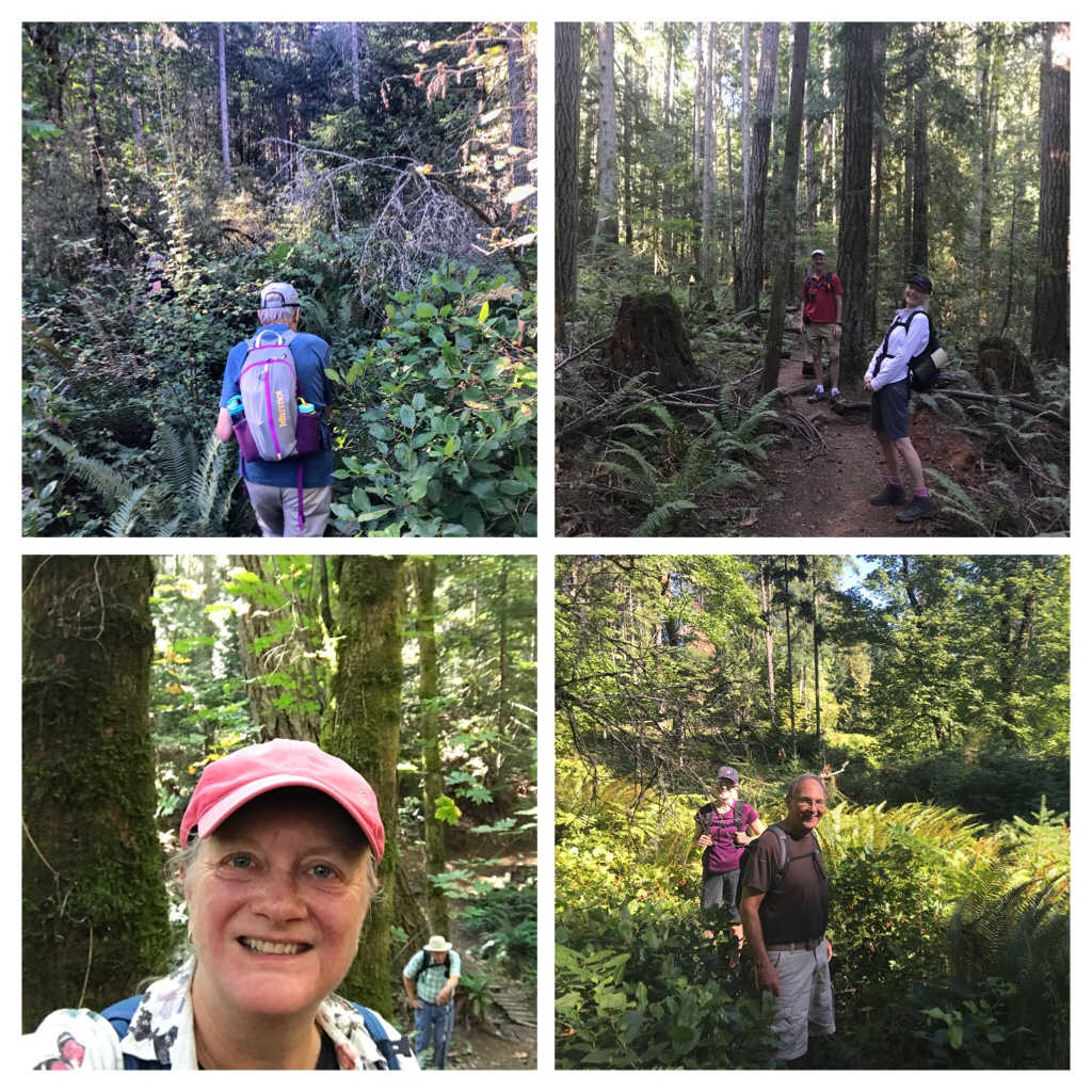
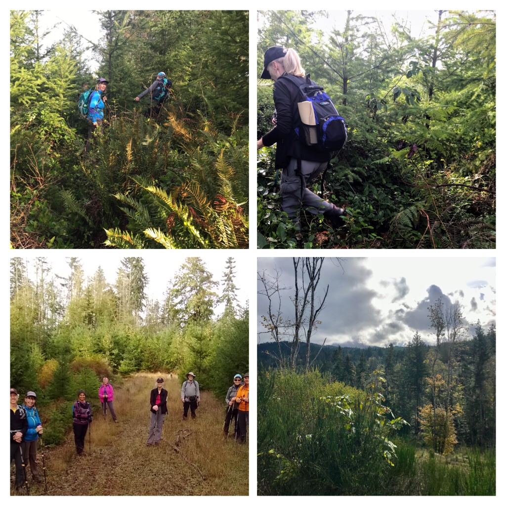
The trees along the trails were regal and the rainforest undergrowth was so thick in places that we had to create new paths!
Breaking paths on hike near Lantzville
As the weather started changing into normal Autumn patterns, the winds and rains increased causing more trail obstruction damage from tree windfalls and slippery trails. The water levels in the creeks and rivers also increased.
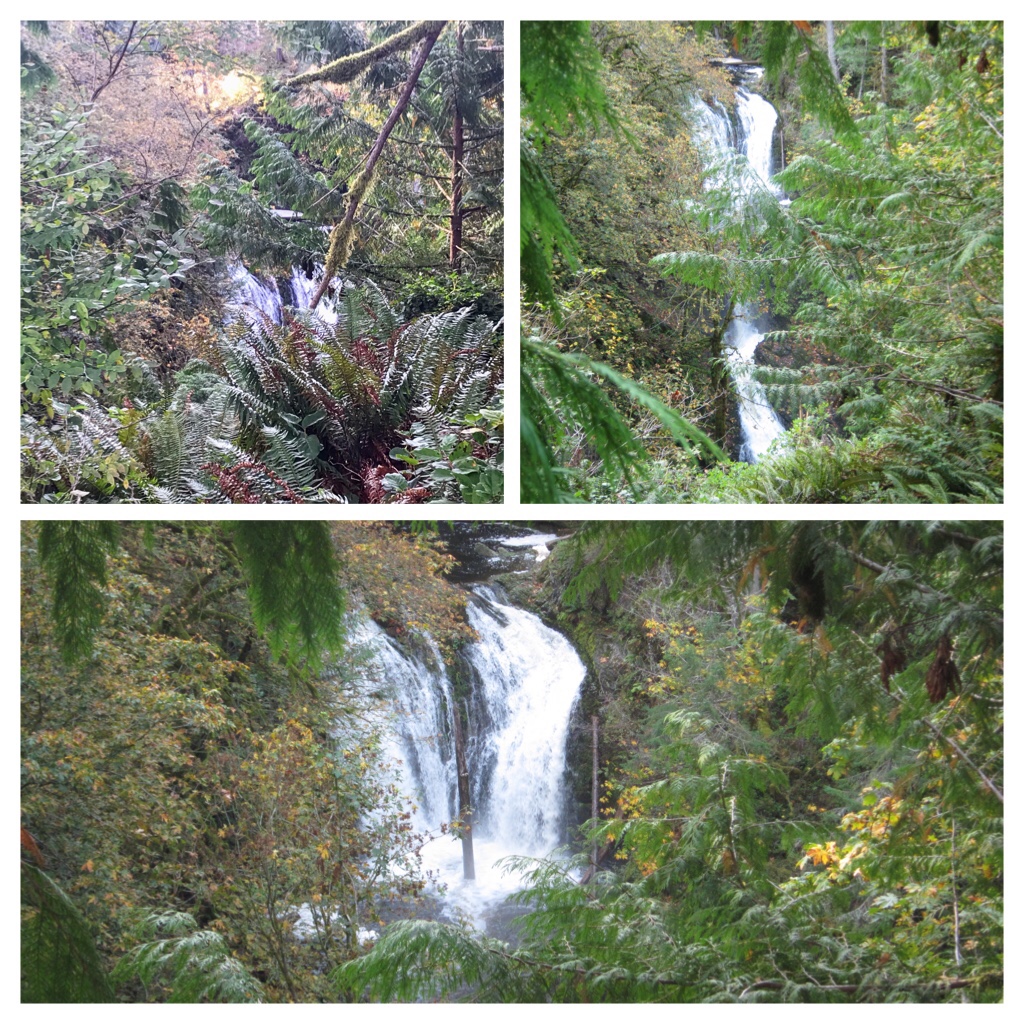
Bonnell Creek Falls, Nanoose Bay in October
Our hiking rain jackets and pants were getting used more regularly now as were 1 or both hiking poles during our adventures. This next hike occurred at Bonnell Creek Falls in mid October.
Creating new paths through underbrush at Bonnell Creek Falls area
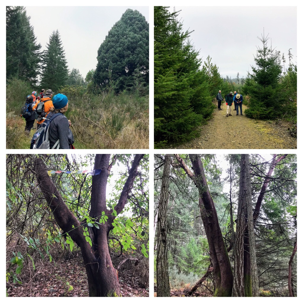
Another great hike in the Nanoose Bay area is “Big Trees” trail. This hike occurred in late October.
Big Trees Trail
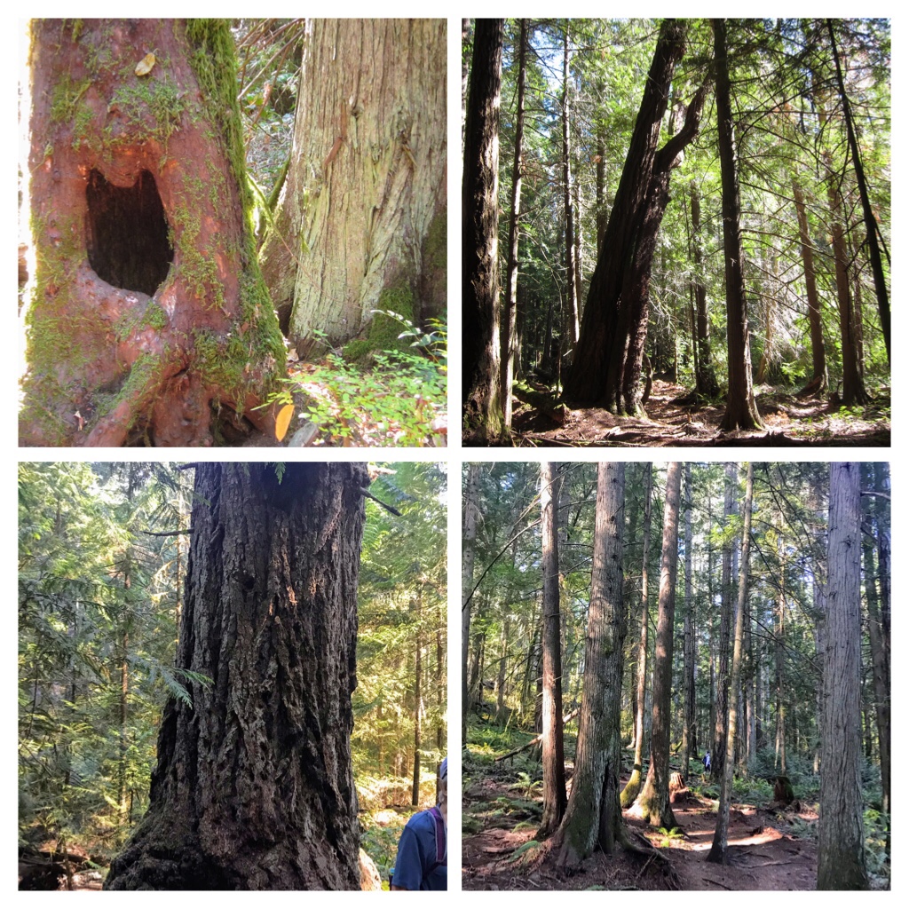
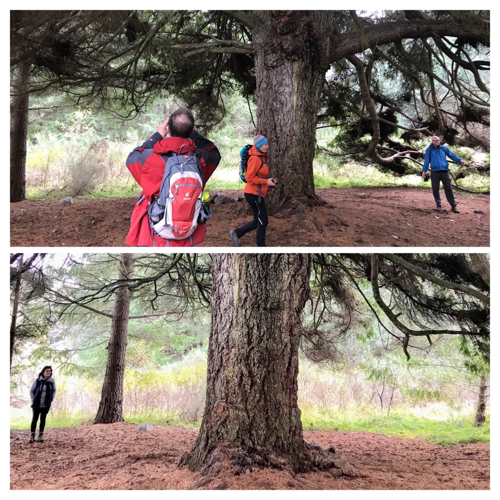
We discovered some enormous Arbutus and an enormous Evergreen.
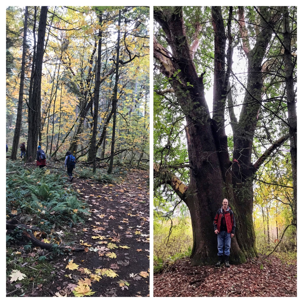
“Big Arbutus Tree”. Our hiking leader posed to illustrate the size of this Arbutus tree.
There truly were “Big Trees” to discover!
Another “Big Coniferous Tree” we discovered.
The rains and winds had assisted in dislodging most of the Maple tree leaves around the trails. Although the deciduous trees looked rather bare, the colorful leaves and variety of fungi were enchanting.
COVID Careful Hiking. Break time at Big Trees trail.
A musical Canadian experience in Autumn, is the sound of leaves rustling around your feet as you walk or hike along through the abundant variety of nature trails.
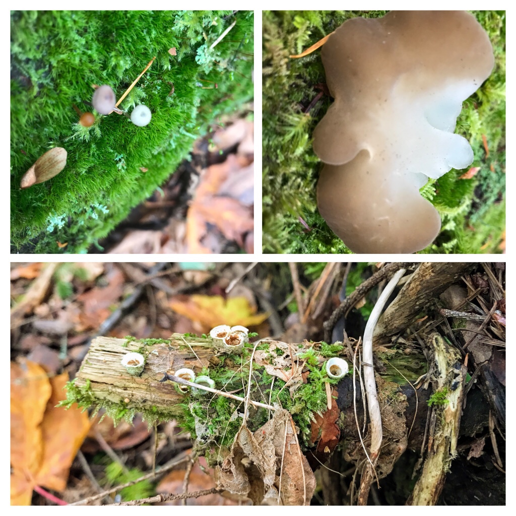
Fascinating diversity of fungi in late October.
Last year on November 11th, our group explored around Enos lake and upward to the “Notch“.
November 11th 2020 hike around Enos Lake and upward to the Notch
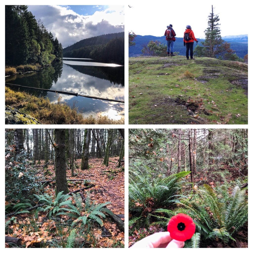
At 11:00 a.m. we stopped in a quiet location in the forest beside a river. We all respected 2 minutes of silence to reflect on our freedom in Canada, our goal for peace, and our gratitude for those soldiers and personnel who fought to ensure our freedom. Following the silence, we had an opportunity to share a personal vignette of how Remembrance Day is significant to our families. It was an extremely powerful and sentimental experience.
Here is a video presentation of our November 11th (Remembrance Day) Hike at Enos Lake and up to the “Notch”.
Remembrance Day 2021 will soon be here. I will be wearing my poppy and reflecting with deepest gratitude on the past; embracing the freedom we have living in Canada; and hoping for global compassion and peace.
My next blog posts will be about more amazing hiking experiences on Vancouver Island and possibly an update on our Rescue Cat Sophia and our neighborhood deer families.
One of the many joys of living on Vancouver Island, B.C. is that nearly all communities are near, or adjacent to, the beautiful Pacific Ocean.
Living in Nanaimo (population over 100,000), there are so many diverse ways to explore nature and the outdoors. This blog post focuses on one of the favorite kayaking areas to explore in Nanaimo. Newcastle Island, is also known as Saysutshun by the local Snuneymuxw people.
Let’s explore Newcastle Island!
The following excellent website thoroughly explores Newcastle Island (Saysutshun) from Ferry Schedules, to Camping, Moorage, Maps of Trails, and Explanation about the Culture and History of the Marine Provincial Park. http://newcastleisland.ca
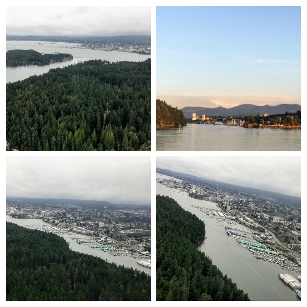
Newcastle Island is less than a kilometer’s paddle across the water from several launching locations in Nanaimo. It is about 8.5 km to circumnavigate the island by water. These aerial views of Newcastle and Protection Island were taken from a float plane while flying in/out of the Nanaimo harbour.
Nanaimo harbour and nearby islands. Views from float plane.
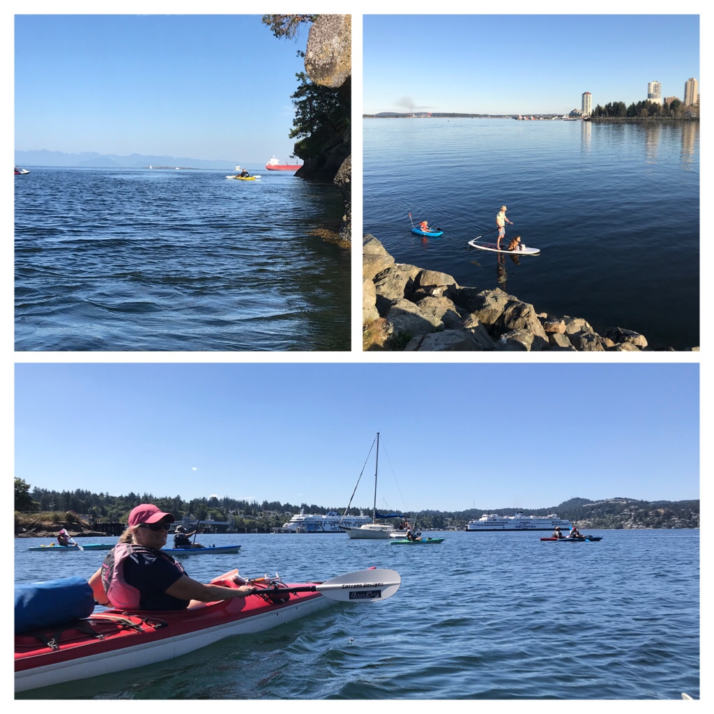
Newcastle and Protection Islands are popular locations, so expect to see other kayaks, sailboats, pleasure craft, even B.C. Ferries sharing the water with you!
Sharing the water around Newcastle Island, Nanaimo.
There are several FREE locations available to launch your kayaks. The size of your kayaks and ease of parking influences your selection. Some locations have free parking. Other locations require pay parking. You can launch from the following locations: Nanaimo Harbour Marina (downtown);
Downtown harbour
Maffeo Sutton Park has access for smaller kayaks to launch;
Maffeo Sutton Seawalk
More launching sites include: Brechin boat ramp; Queen Elizabeth Promenade (near the Yacht Club); Departure Bay Beach; and Stephenson Point.
We own touring ocean kayaks which are longer than most day trip recreational kayaks.
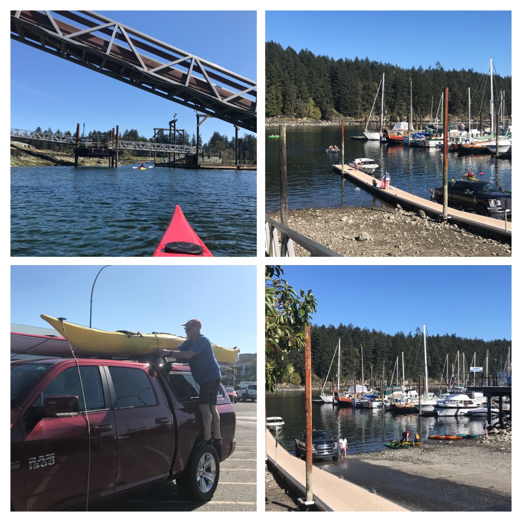
Brechin Boat Ramp. Newcastle Island in the Background.
Our boats are very seaworthy, designed for multi day trips with 2 hatches, but are over 16 feet in length! Our usual launching location is Brechin Boat Ramp.
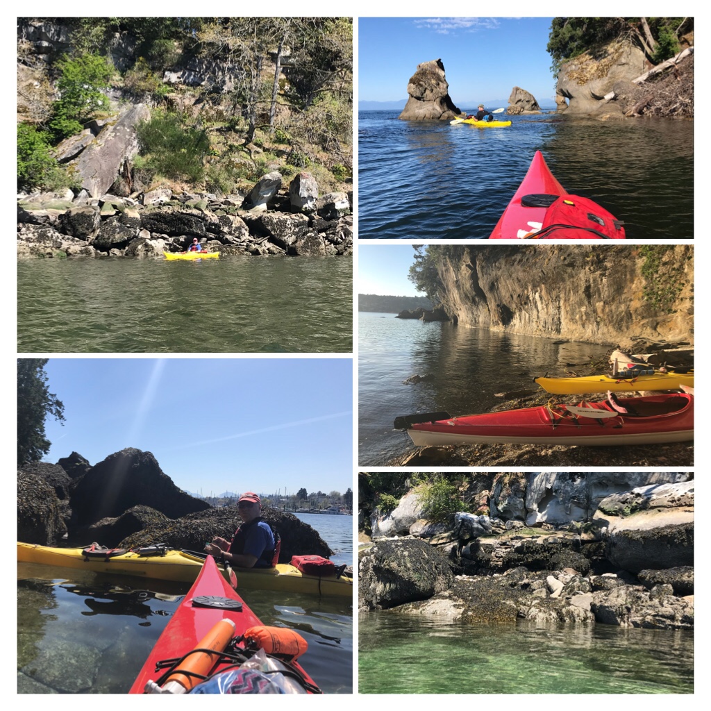
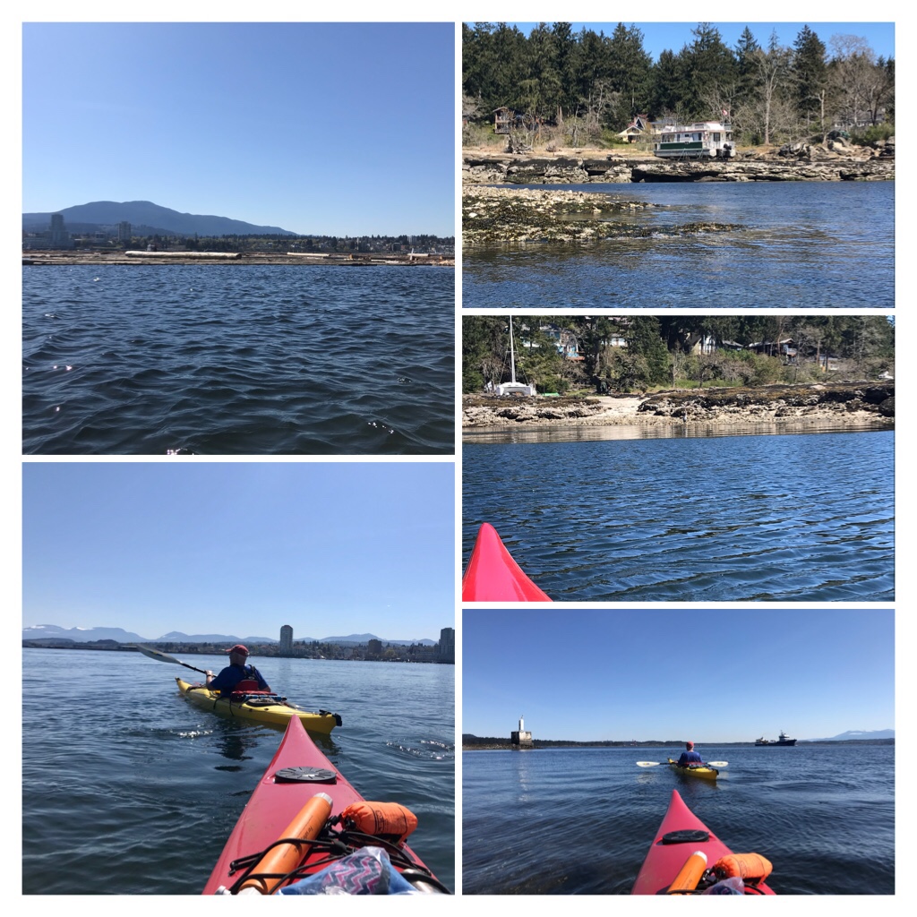
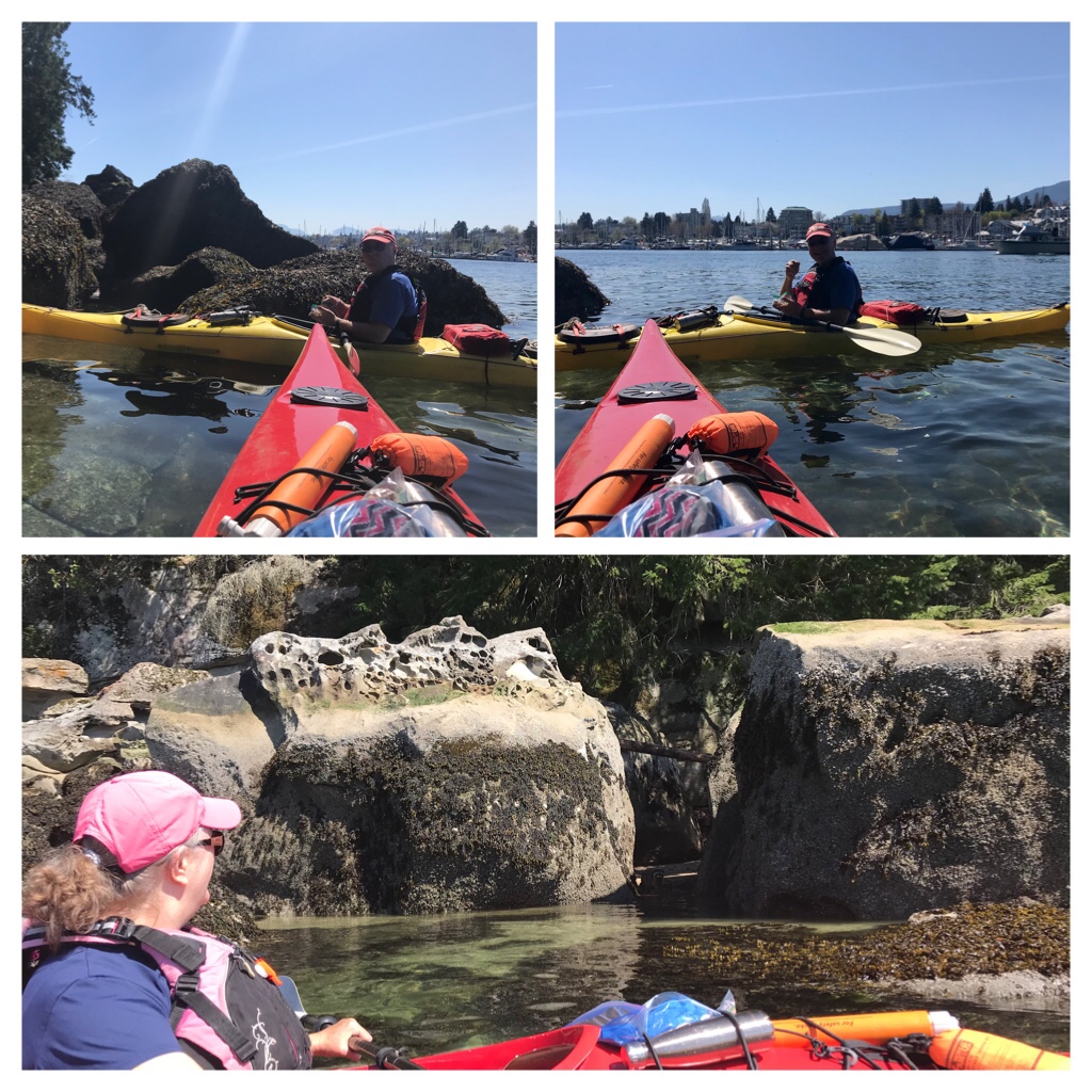
Let’s get kayaking! The following kayak adventure photos were taken during 3 different adventures while kayaking around Newcastle (Saysutshun) Island. One trip occurred during April (Spring), the other 2 trips occurred during August (summer).
April: Needing to take a break from Covid masks and restrictions? Kayaking on a sunny day in Spring is such a pleasant remedy to any feelings of confinement. We departed from Brechin boat ramp and headed along Newcastle, toward downtown Nanaimo, then continued across the water to Protection Island.
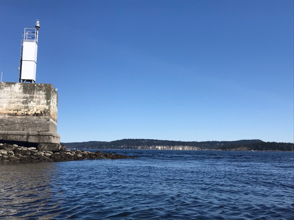
My husband and I paddled past a log sort boom and continued towards a beacon. From this location, there is a fabulous view of the cliffs on Gabriola Island.
Beacon. The cliffs of Gabriola Island in the background.
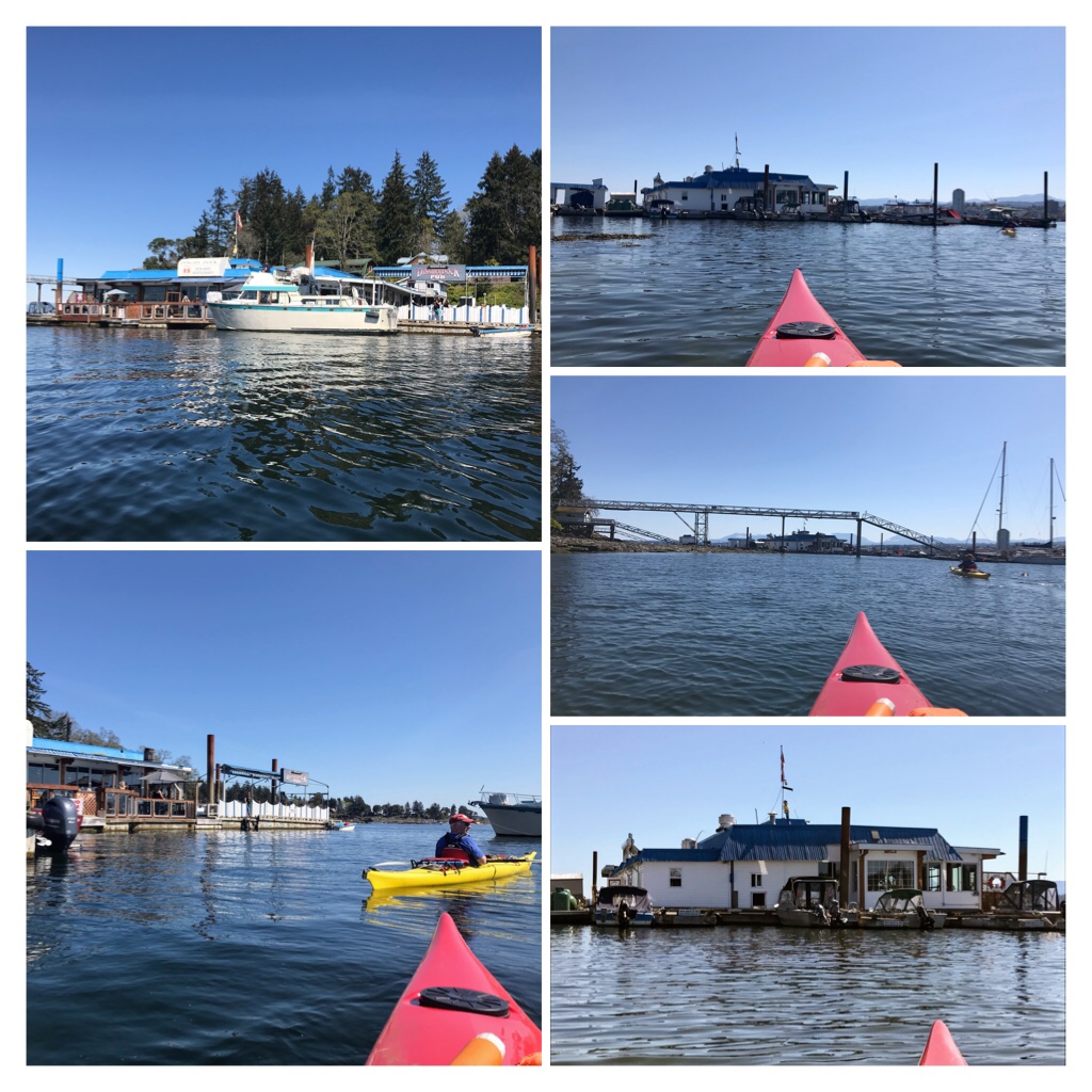
Dingy Dock floating pub was open with limited capacity due to Covid. A pleasure craft arrived before we could maneuver our kayaks to the back dock, so there was no space in the floating pub for us today!
Dingy Dock Pub on Protection Island.
Returning to Newcastle Island, we explored the spit area adjacent to the park picnic area.
Newcastle Island
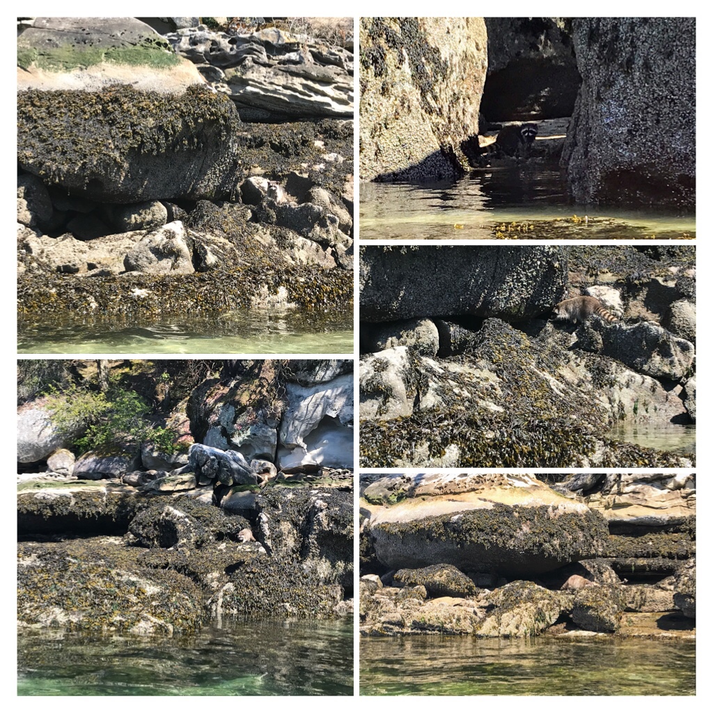
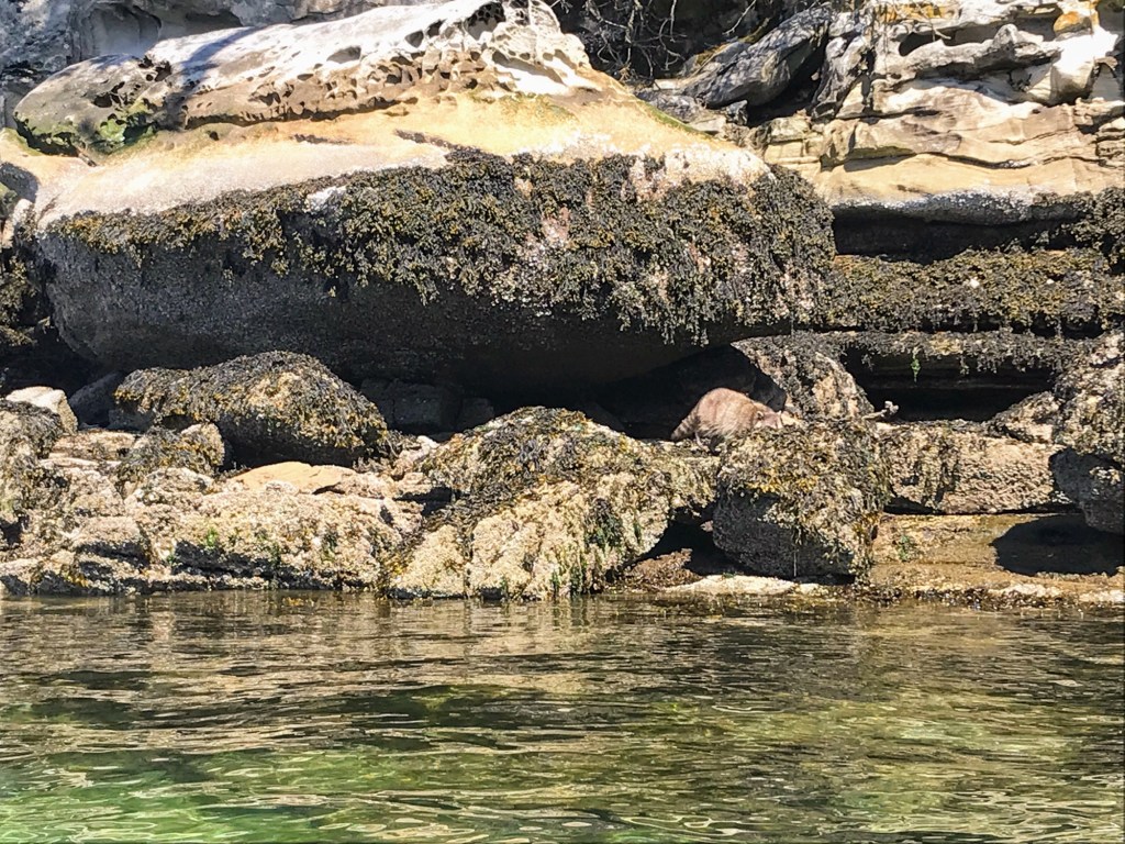
As we continued to explore the craggy notches between the island and the water, we observed a few raccoons feasting on low tidal delicacies.
Can you locate the albino raccoon in each photo?
It is common to observe raccoons on Newcastle Island, but today we glimpsed a couple of the more rare, albino raccoons.
Albino raccoon scavenging along the tidal rocks at Newcastle.
Time to head back…
It was a beautiful day to explore!
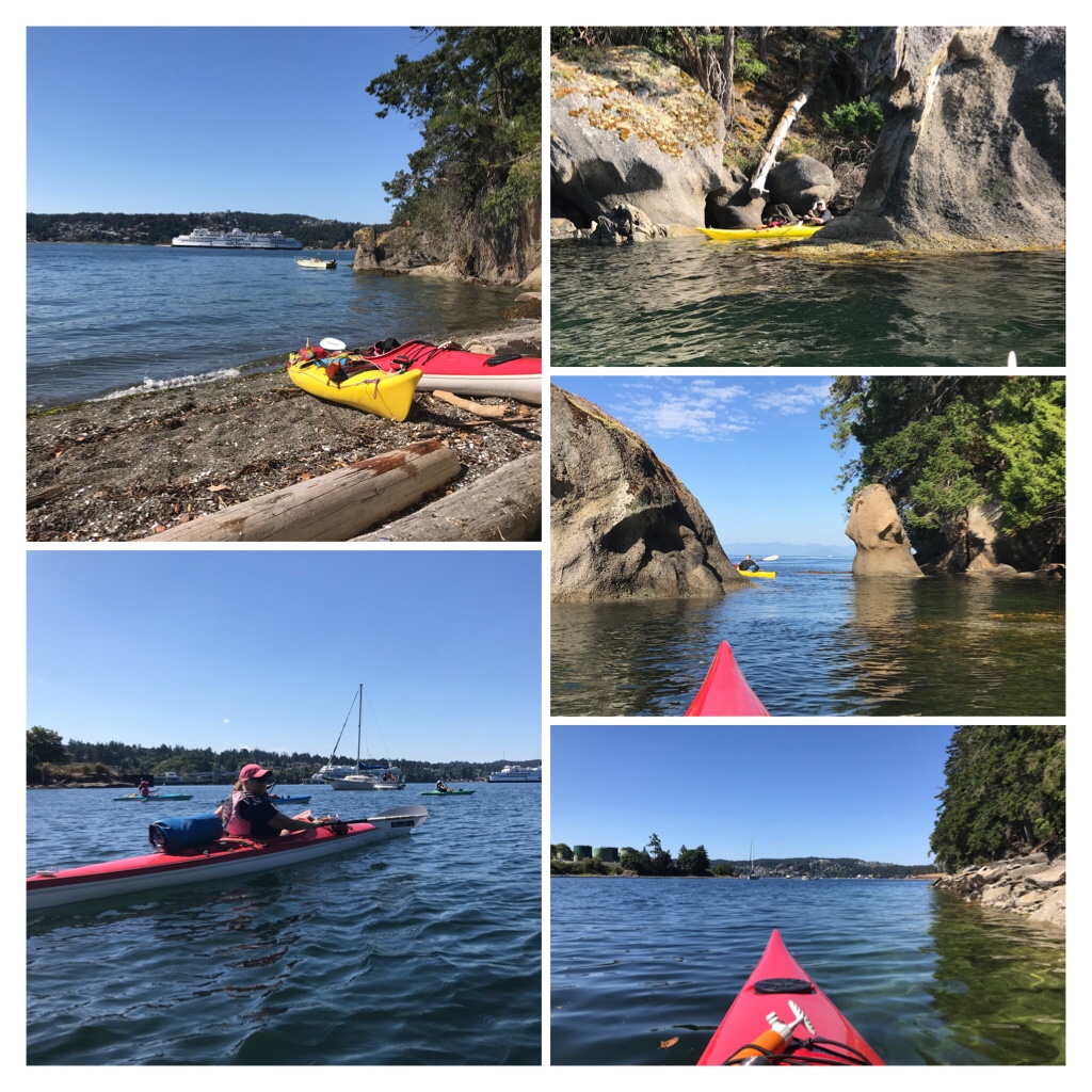
Summer (August) kayak highlights from our paddle circumnavigatingNewcastle Island.
Circumnavigating Newcastle.
The 8.5 km trip around Saysutshun is lovely and there are many gorgeous hidden gems to discover. Expect a few larger waves when you round the corner and head towards the more open strait on the outside of the island.
Here is a video highlighting our kayak adventure around Newcastle island in mid August.
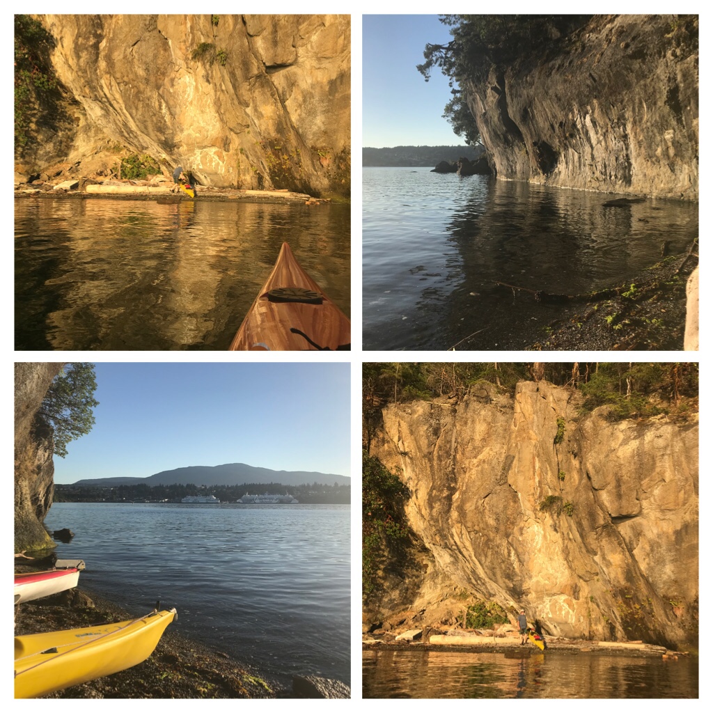
The sunny weather and beauty of this location drew us back for an additional kayak the very next day! This time we went out for an evening kayak and swim in the ocean at Newcastle.
Mark waves hi as he swims. Cozy spot to rest the kayaks.
August Kayak adventures and swimming at Newcastle…Part 2. The evening sunset glows were magical.
Evening kayak and relaxation around Newcastle. Such a gem!
No wonder Newcastle Island is such a popular kayaking destination in Nanaimo. Meanwhile…Switching sports, I have hikingadventures around Nanaimo to blog about next. Keep Safe and Keep Smiling! S
After the second heat wave hit Nanaimo, we craved much lower temperatures and a cool, windy location…Even for a day!
Our choices were to drive 4 + hours (350 + km) northwest up Vancouver Island to seek temperature refuge in much cooler Port McNeill, Port Hardy, Port Alice or other tiny northern communities. Or, we could head due west 201 km to Tofino. The estimated time for this trip, according to several online sources, was about 3 hours. Today, Tofino won out as the destination of choice!
Tofino, B.C.
Temperatures in Nanaimo had been hitting 32-38 degrees C most days for a second stretch this summer. In some areas of the globe, this is normal or possibly mild, but for us in Canada, this is quite extreme and people were getting hospitalized with heat stroke and trying to cope by staying indoors or swimming in the cool ocean. In contrast, the weather forecast in Tofino was listed at 19-20degreesC! We packed a cooler with picnic supplies, beach mat, hiking and swimming gear, and headed off to Highway B.C. 4 W.
There are so many amazing natural wonders and tourist attractions along this journey, so you need to decide whether to take a leisurely trip and investigate locations, or to push through directly to Pacific Rim National Park and Tofino. The choice is yours!
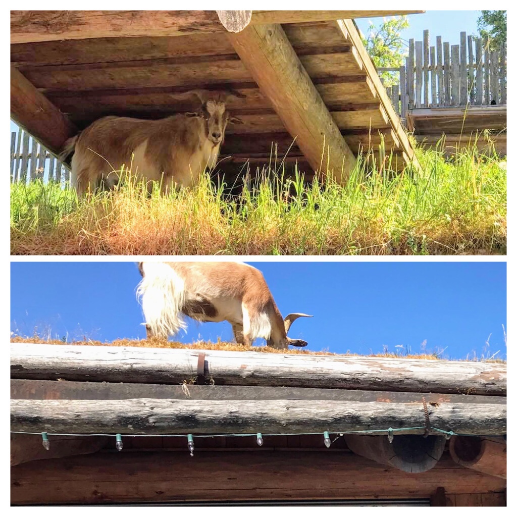
Thirty-five minutes (44 km) after departing from Nanaimo, you drive past Coombs. It is difficult to miss the line ups of parked cars near the Old Country Market. Look up and you will usually spot the goats eating grass on the roof of the market.
Coombs Goats on the Roof
Coombs is a fun and funky place to spend time sauntering, eating, shopping, and exploring. Coombs Old Country Market is usually open every day from March to December.
If you enjoy hiking and exploring the beautiful natural coastal rainforest, check out Little Qualicum Falls, and the famous Old Growth Douglas Fir Trees and giant Cedars in MacMillan Provincial Park at Cathedral Grove.
Old Growth at Cathedral Grove
The largest trees in this protected park are over 800 years old, 9 metres (29.6 feet) in circumference, and 75 meters (246 feet) tall. Bring your camera….The old growth trees along the trails are impressive and majestic! Here is a link to a practical guide for the Cathedral Grove Trail Area.
Once you arrive in Port Alberni make certain you have fuel and food as the next section of the road is twisty and services are limited until you arrive at Ucluelet or Tofino.
23 km from Port Alberni the road curves around the edges of gorgeous Sproat Lake. This 25 km long, deep, fresh water lake is known as Kleecoot by the Indigenous peoples. It is a local favorite location for swimming, fishing, waterskiing, kayaking, windsurfing, picnics, hiking or camping. https://bcparks.ca/explore/parkpgs/sproat_lk/
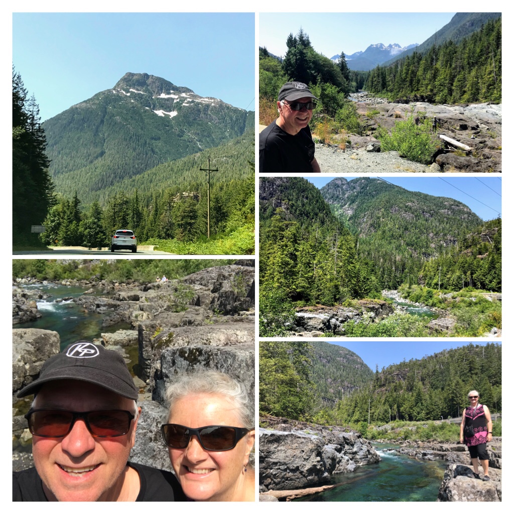
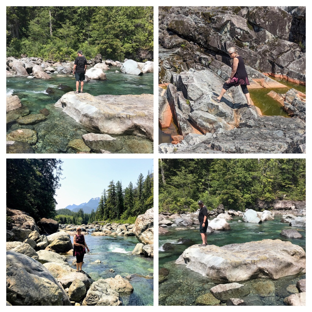
Wally Creek
Continue about 30 km from Sproat Lake and you will discover another natural treasure at the junction of Wally Creek and Kennedy River.
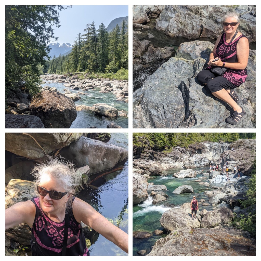
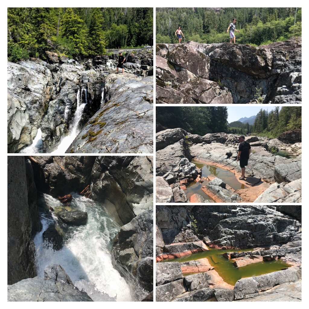
Check out the natural “Potholes“, climb boulders, or relax on the rocks adjacent to the creek.
Wally Creek/ Kennedy River
This is such a fascinating area to explore and appreciate. Natural erosion at its most intricate, exposes crystal clear turquoise waters and orange, green veins of color within rock layers.
This pristine area needs to be appreciated and preserved. If visiting here, please be respectful of the area and take any trash with you when you depart.
Climbing Boulders and Exploring
While my husband and I took a break from driving and explored this natural wonder, a friendly local also exploring the boulders with his family, questioned whether we were heading to Tofino. He informed us about the daily road closure between 11 am and 3 pm weekdays at Kennedy Hill due to major road construction! As it was after 11:30 am, we had missed the opening and now faced a road closure for another 3 + hours!
Lots of time to appreciate the beauty
We always check DriveBC.ca road status and conditions prior to any travel. But, for some unexplained reason, today we had not checked ahead! Murphy’s Law!
As we had several hours to wait, we delved into our picnic from the car cooler, then explored the boulders and rugged creek area.
Amazing potholes from erosion and orange/green coloured formations
Cars continued to arrive as people joined us exploring Wally Creek, relaxing on the rocks, or swimming in the eroded “Potholes“. We wondered how many of these new arrivals were aware of the Kennedy Hill road closure?
At 2:30 p.m. we departed and drove to Kennedy Hill. We joined the incredibly lengthy line of vehicles waiting in the cue. There were “Black Bear in Area” warning signs posted.
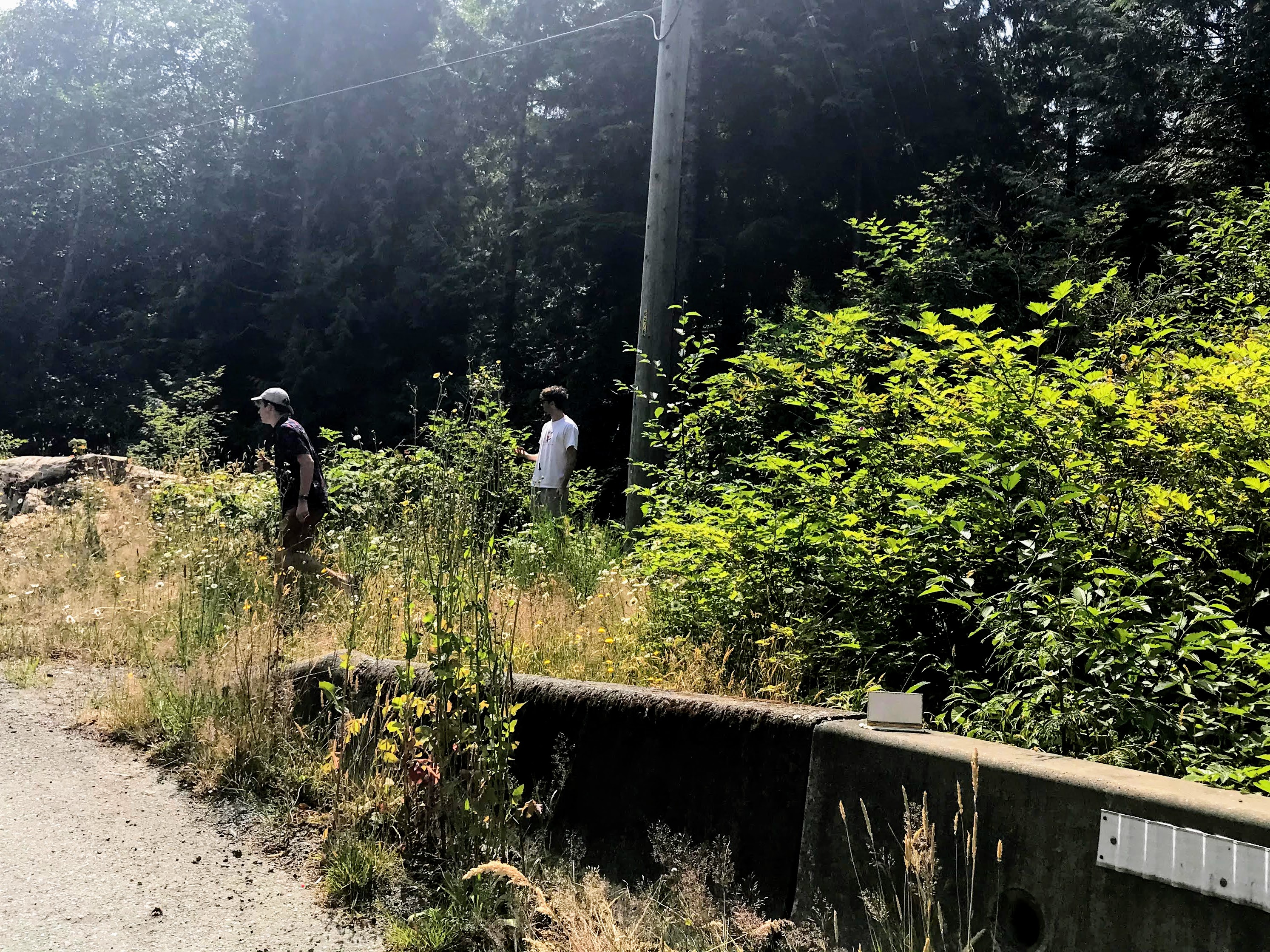
Picking Huckleberries and Thimbleberries while waiting at the Road Block.
Most people remained in their vehicles with windows down. But the heat, boredom, and enticement of huckleberries on the side of the road drew me outside. I started picking wild Huckleberries and some Thimbleberries. Before long, I had taught 3 young men from the car ahead of us about wild berries, and they were also having a berry feast.
The time passed, the road opened, and soon we were meandering through construction zone areas.
It is a 14 km drive from Kennedy Hill to the Tofino-Ucluelet Highway 4Junction. Before planning a trip to Tofino or Ucluelet check road conditions. Here is a useful link created by Tofino Tourism. https://tourismtofino.com/
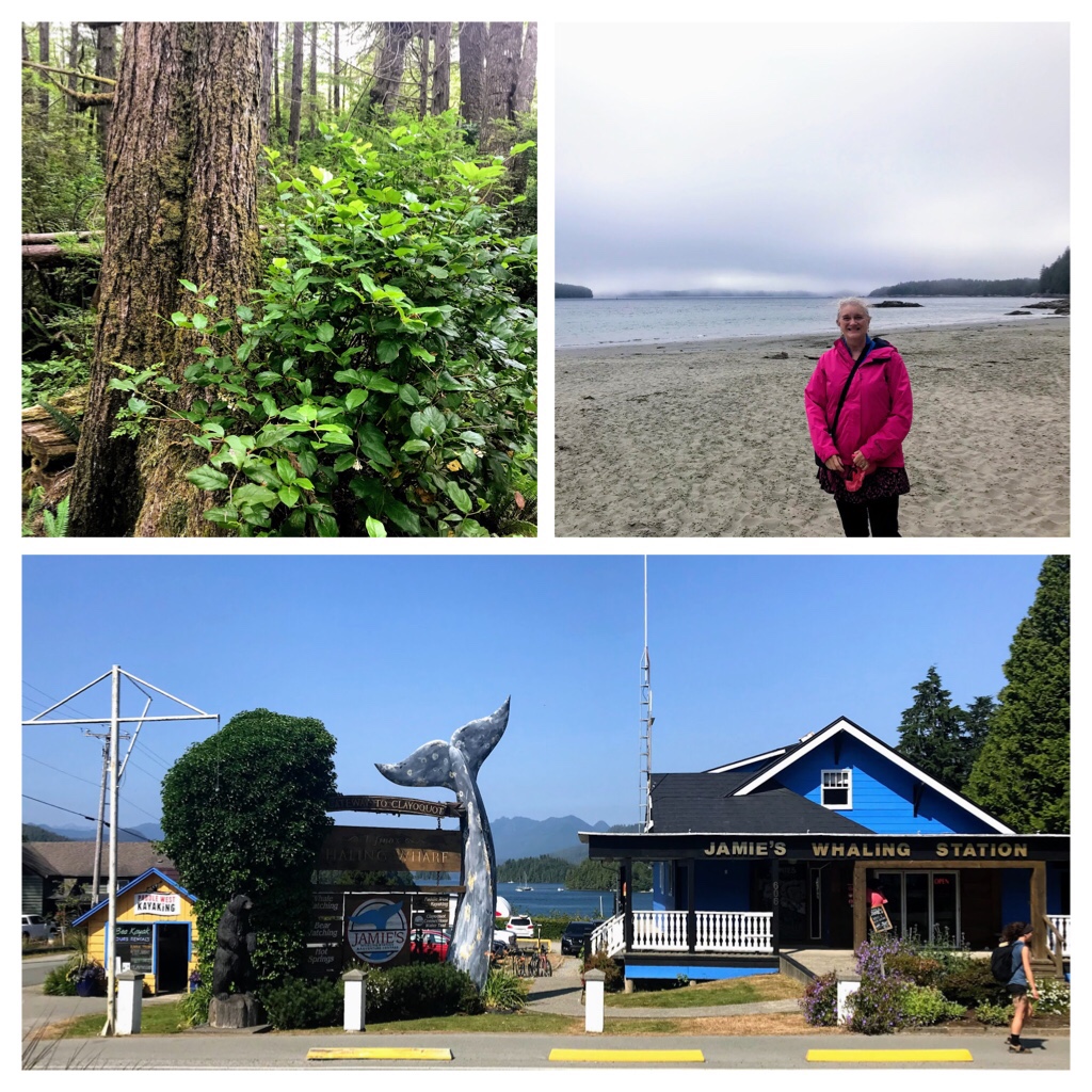
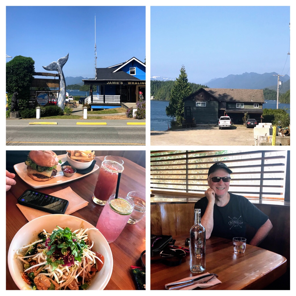
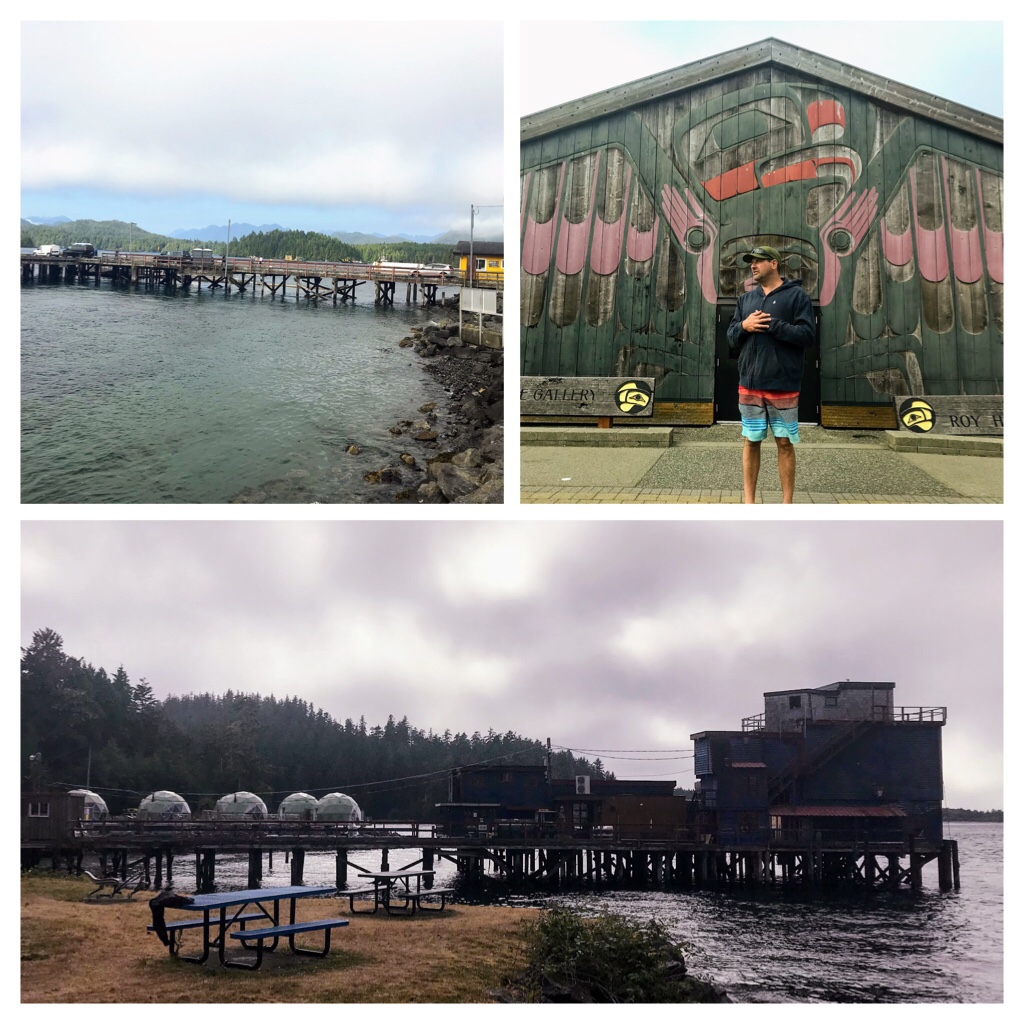
Later than planned, at 4pm (and 19 degrees) we were finally enjoying the beautiful main street of Tofino. We observed tourists, decked in matching life jackets, returning rental kayaks and gear; while another group (possibly exiting a whale watching tour) chugging up the hill at Jamie’s Whaling Station.
Tofino Campbell Street— Delicious late lunch at Shelter Restaurant
Directly across Campbell Street, we relaxed with beers and delicious meals at the popular Shelter Restaurant. My husband thoroughly enjoyed his burger and I was very impressed with the delectable gluten free Surf Bowl. This experience was so welcomed and appreciated after the unexpected, lengthy road closure. We will definitely return to Shelter Restaurant.
Finally, we were off to explore Tofino! During a previous trip here we visited with the famous Indigenous Artist, Roy Henry Vickers, at his Big House Gallery. We were lucky enough to catch Roy creating art and even listened to his story telling session. Later that evening while walking on Chesterman Beach we also caught Roy carrying his surf board emerging from the waves. I purchased his print entitled “The two of us” which is reflective of stunning Chesterman Beach.
Roy Henry Vickers Gallery & Downtown Seaside Park area.
We were not successful sighting many kayakers at the downtown seaside park and Tofino Air location this afternoon.
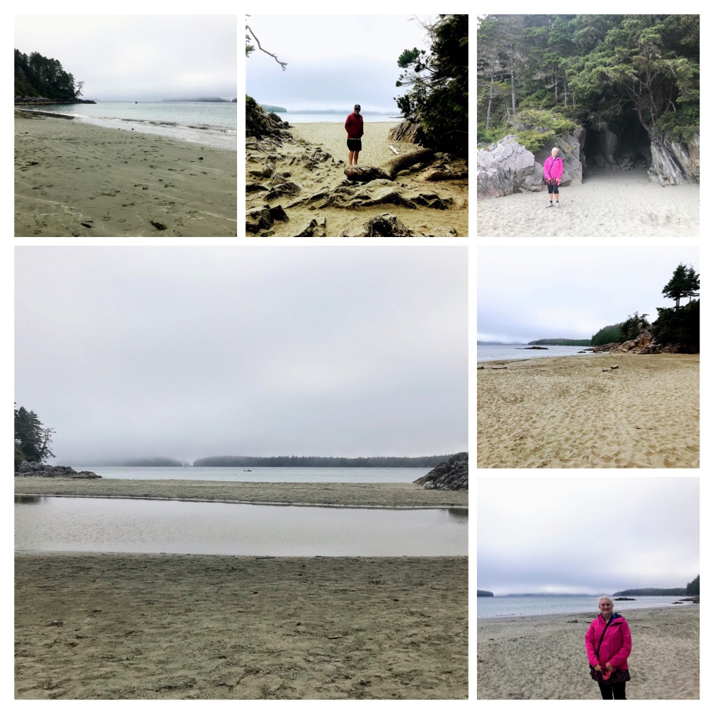
We drove to Tonquin Beach for a little wander through local nature trails leading to one of the many beaches around Tofino.
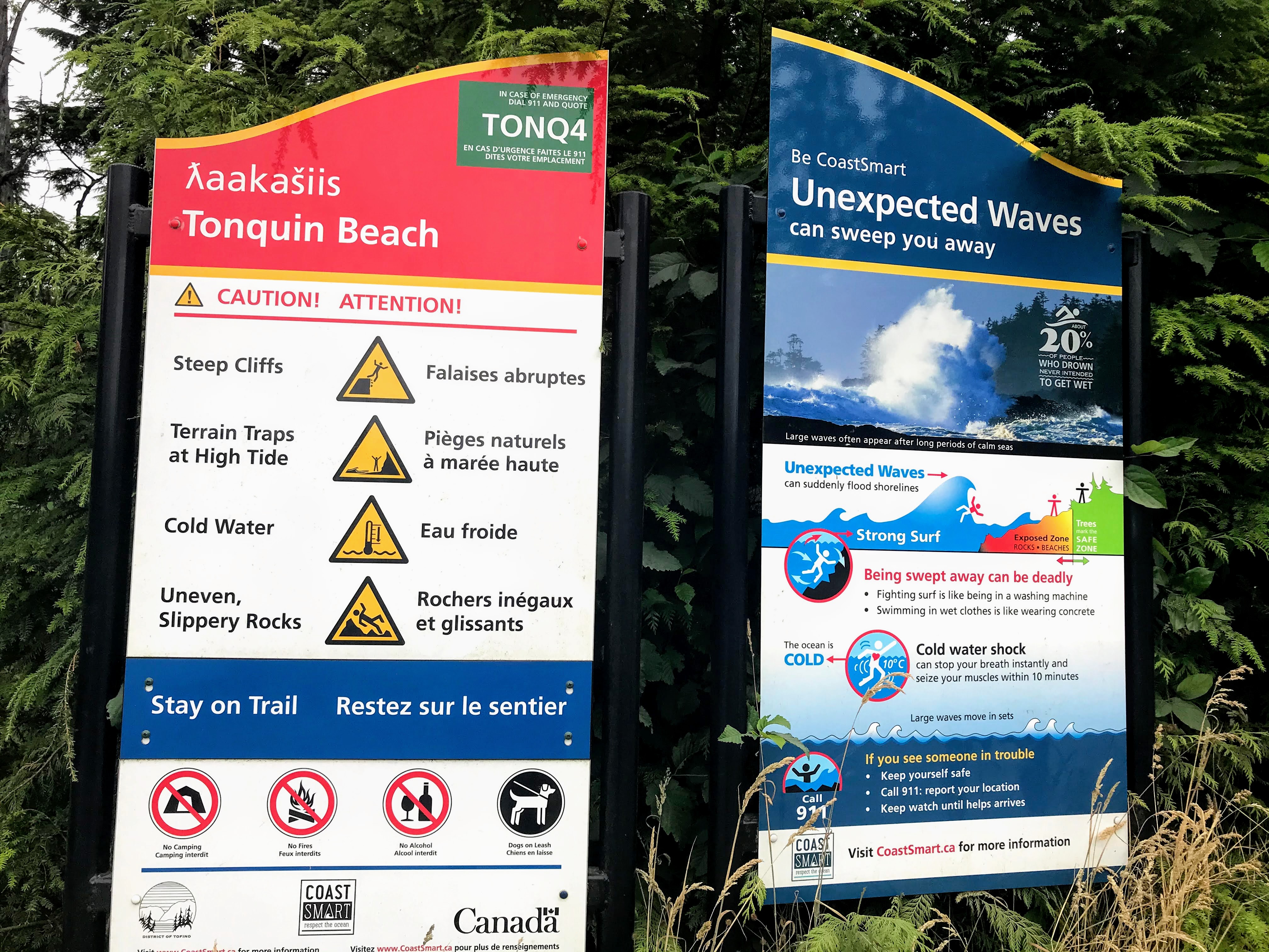
Tofino Weather/Ocean Warnings
Warning signs remind locals and visitors that waves can appear unexpectedly and the weather/ocean conditions are tumultuous in Tofino. Today was calm and both the trails and ocean were pristine and stunning.
Tonquin Beach trails
Tonquin beach is quite small, but very pretty and appears to be a bit sheltered.
Tonquin Beach, Tofino
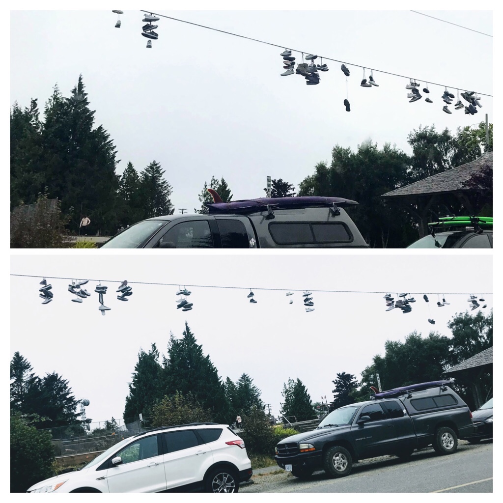
By 6:30 pm the sun had disappeared and the fog was rolling into Tofino. The temperature was dropping quite quickly and was now sitting at 16 degrees C. Tofino has many quirky shops and unique features. There were hundreds of shoes (mainly runners) draped over cable lines around a downtown skatepark.
Tofino skateboard park decorations
After a quick tour around town, we decided to drive to Pacific Rim Park and walk along stunning Chesterman Beach. We noticed that Parking lots were emptying as surfers, in full neoprene suits, loaded their surf boards on their vehicles and departed for the day. Two of the favorite cold water surf beaches in this area are Cox Bay and Chesterman Beach.
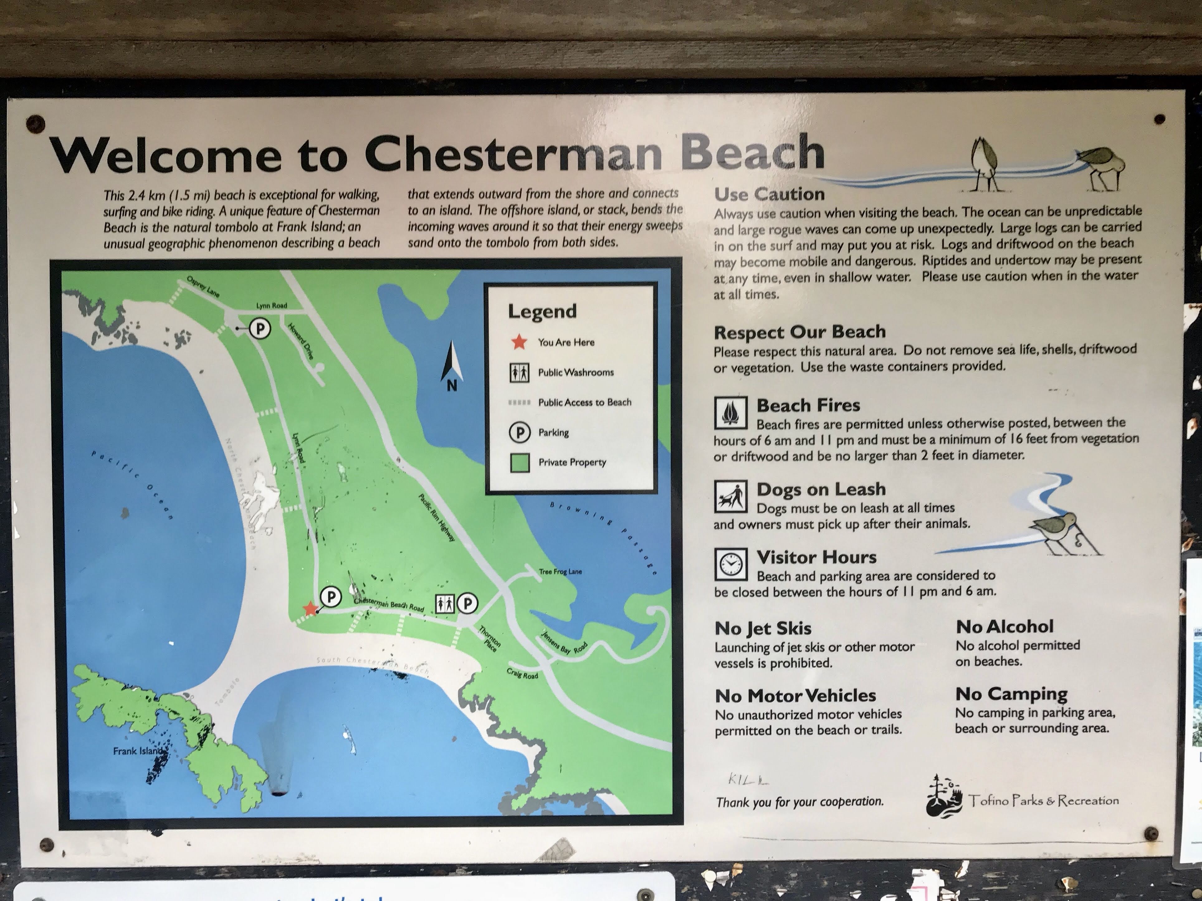
Map and Rules for Chesterman Beach, Tofino
I found the enthusiasm of the surfers a bit surprising as huge signs lit up messages near the beach trails indicating the water temperature was “Very Cold”. Hmmm? What does this mean?
After researching, I discovered that the ocean water temperature at Tofino does not rise above 20 degrees Celsius. Apparently in winter the average water temperature in Tofino hits about 8 degrees C, while in summer the average temperature is about 13 degrees C. Brrr…. Those are dedicated cold water surfers!
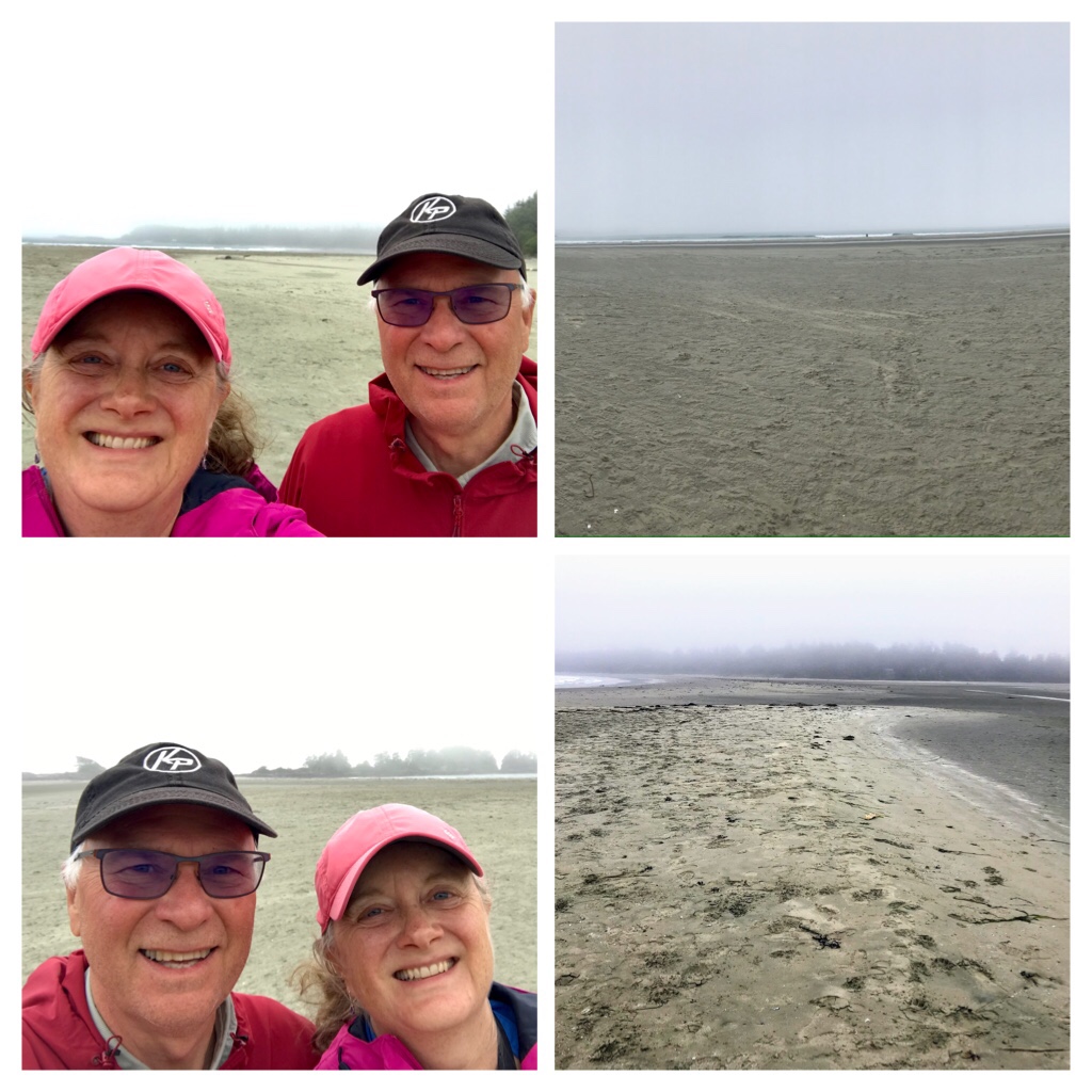
Foggy Chesterman Beach
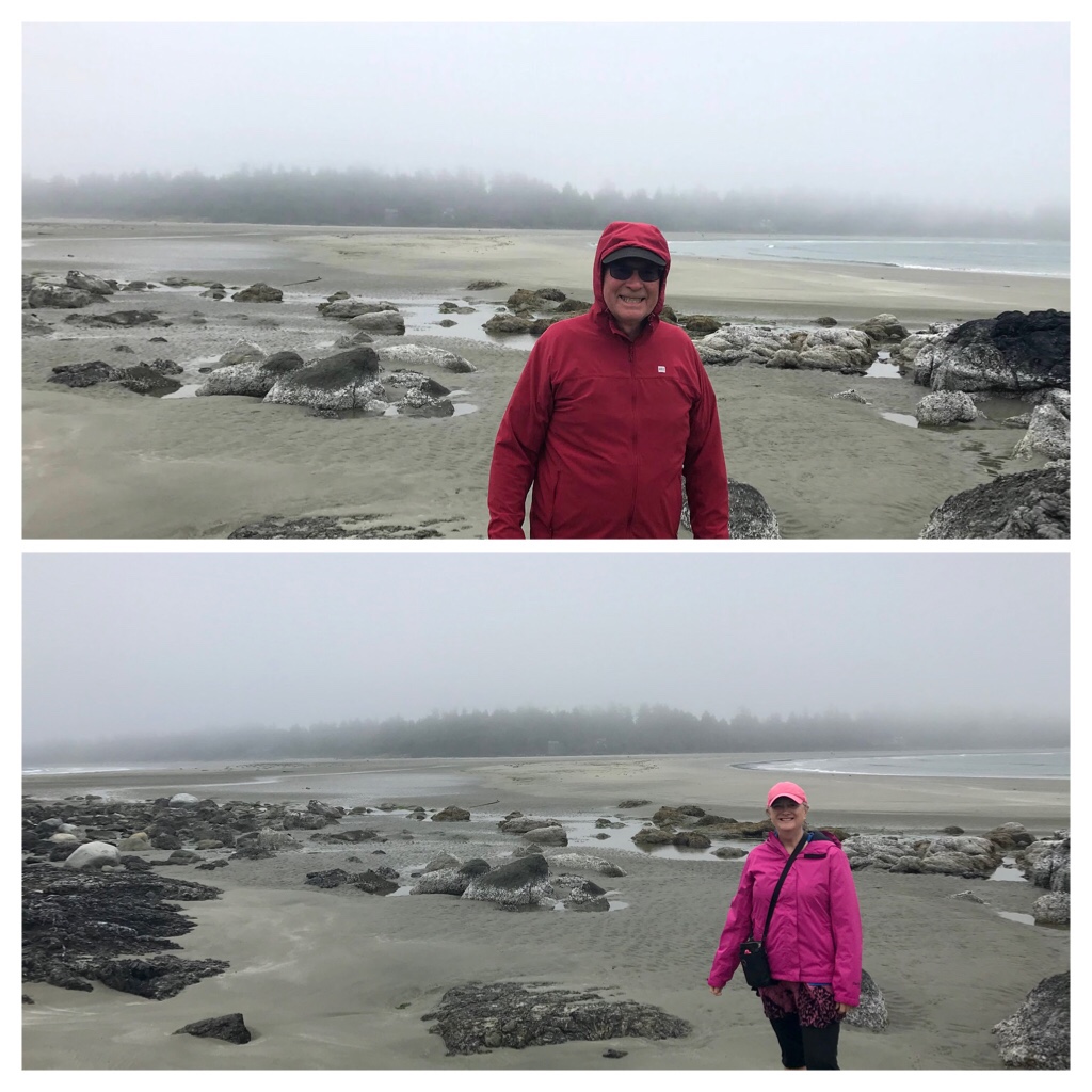
By 7 p.m. we had arrived at Chesterman Beach. The fog had really rolled in making the trees and landscapes quite mystical and eerie. In addition, the winds had increased and the gusts were getting powerful.
Fog and Gusty Winds at Chesterman
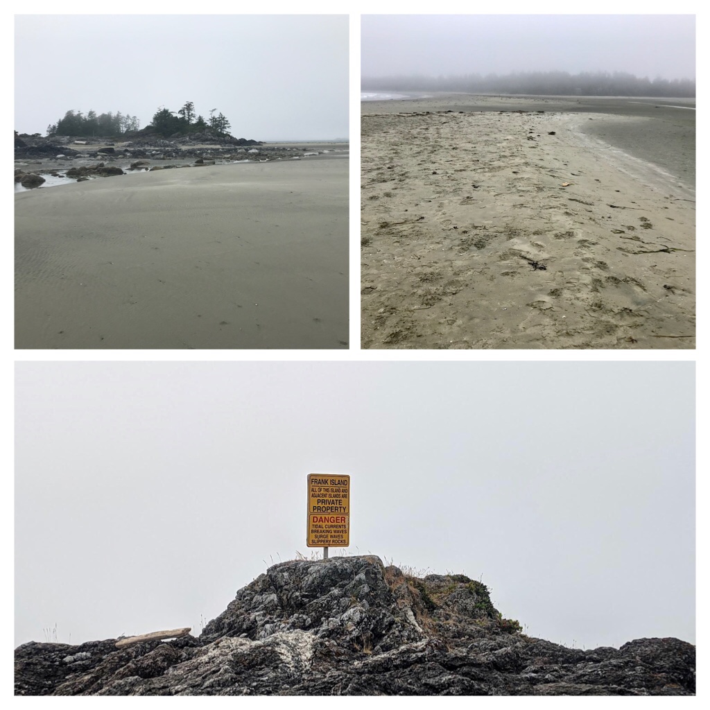
We walked toward Frank Island along the tombolo which is a sandy isthmus connecting Frank Island to Chesterman beaches during low tides.
Frank Island No Trespassing—located between the 2 beaches at Chesterman
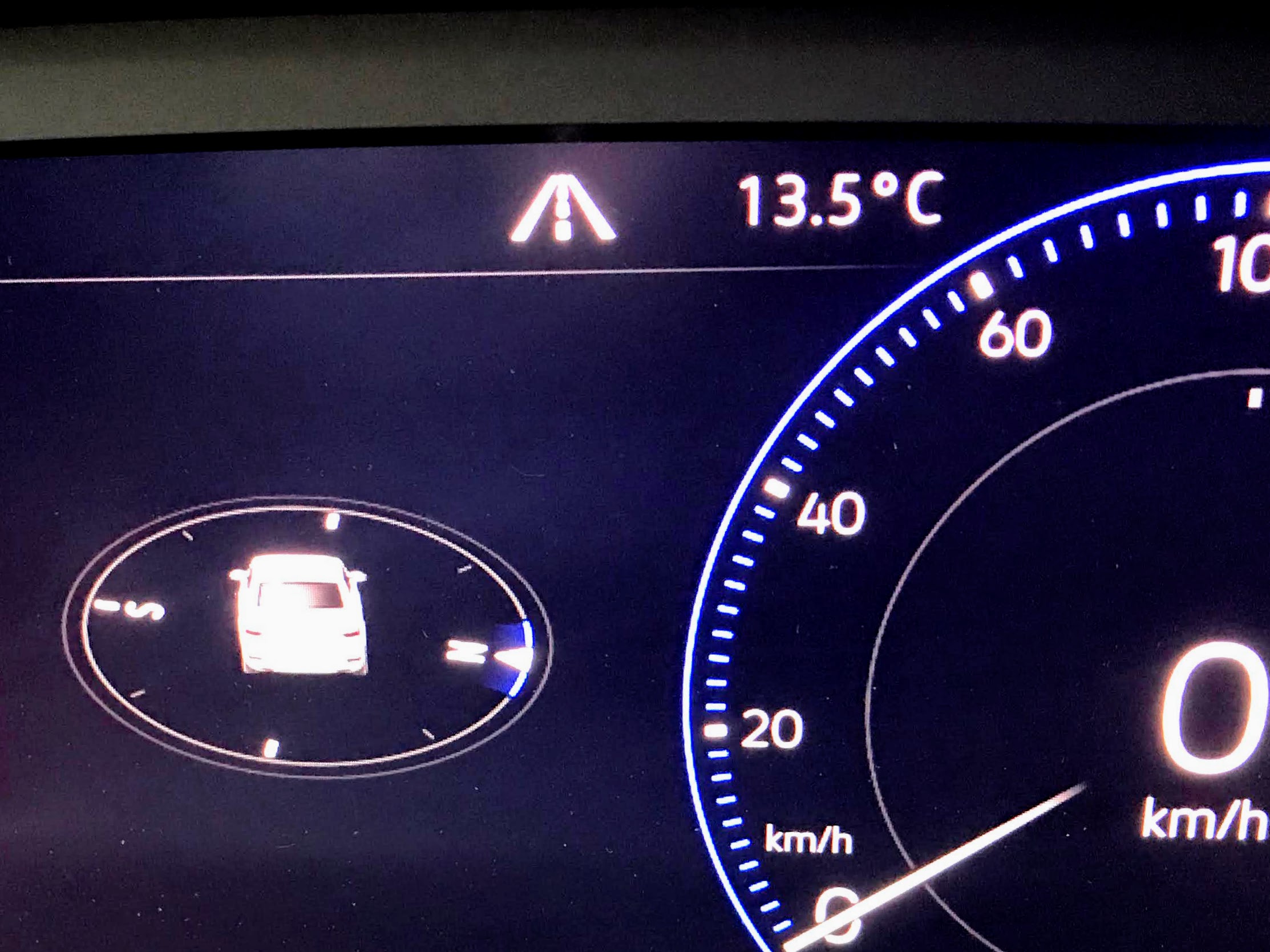
We battled the winds as we observed a handful of keen surfers still playing in the frigid waves. Without toques and warm weather clothing, we were unprepared for this. When we departed from Nanaimo this morning it was 28 degrees. When we started the vehicle, it was a balmy 13.5 degrees C in Tofino.
13.5 degrees Celsius. We actually turned on the heat for the first time in months!
Our goals of having an adventure and locating cool temperatures were achieved.
It was time to commence the 3 hour trip home to Nanaimo. Hopefully there would be no construction hold ups during the homeward trip.
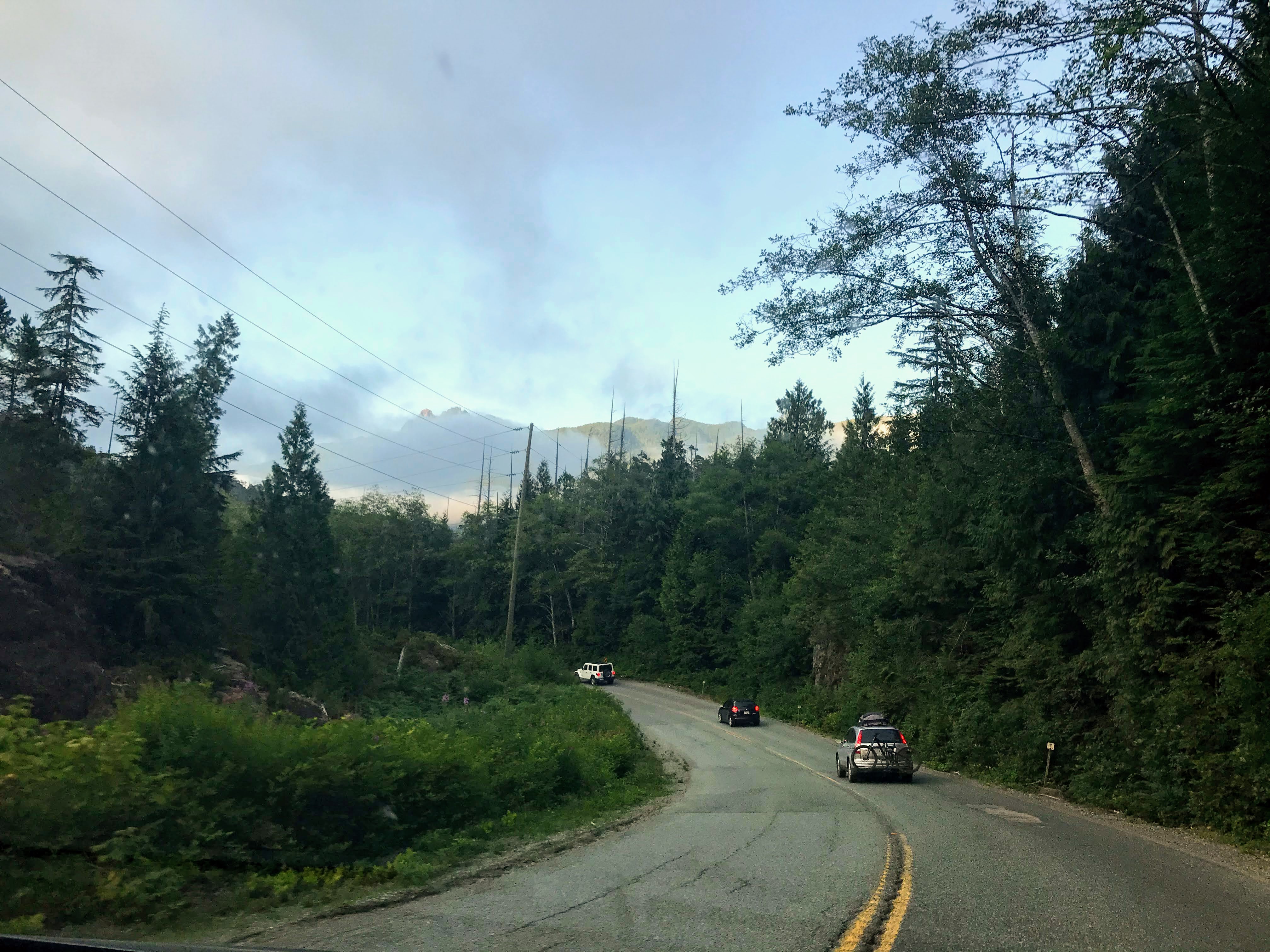
On the road again…Homeward bound
What did we learn? Always check the weather forecast and road conditions prior to any trip. Be grateful for new experiences.
Keep safe and have fun my friends. The next blog post will be about the B.C. Ferry trip up the Inside Passage from Port Hardy to Prince Rupert.