Categories
Adventure Exploring Outdoors Exploring Vancouver Island Hiking trails Trans Canada Trail

Hiking The Trans Canada Trail. The Mysterious Abyss. Extension Ridge.

Covid lockdowns may be challenging and you may feel confined both by your face masks and need to remain physical distanced. However, there are so many wonderful places to safely explore outdoors which can improve your mental health by promoting some much needed exercise, and connecting you to nature.
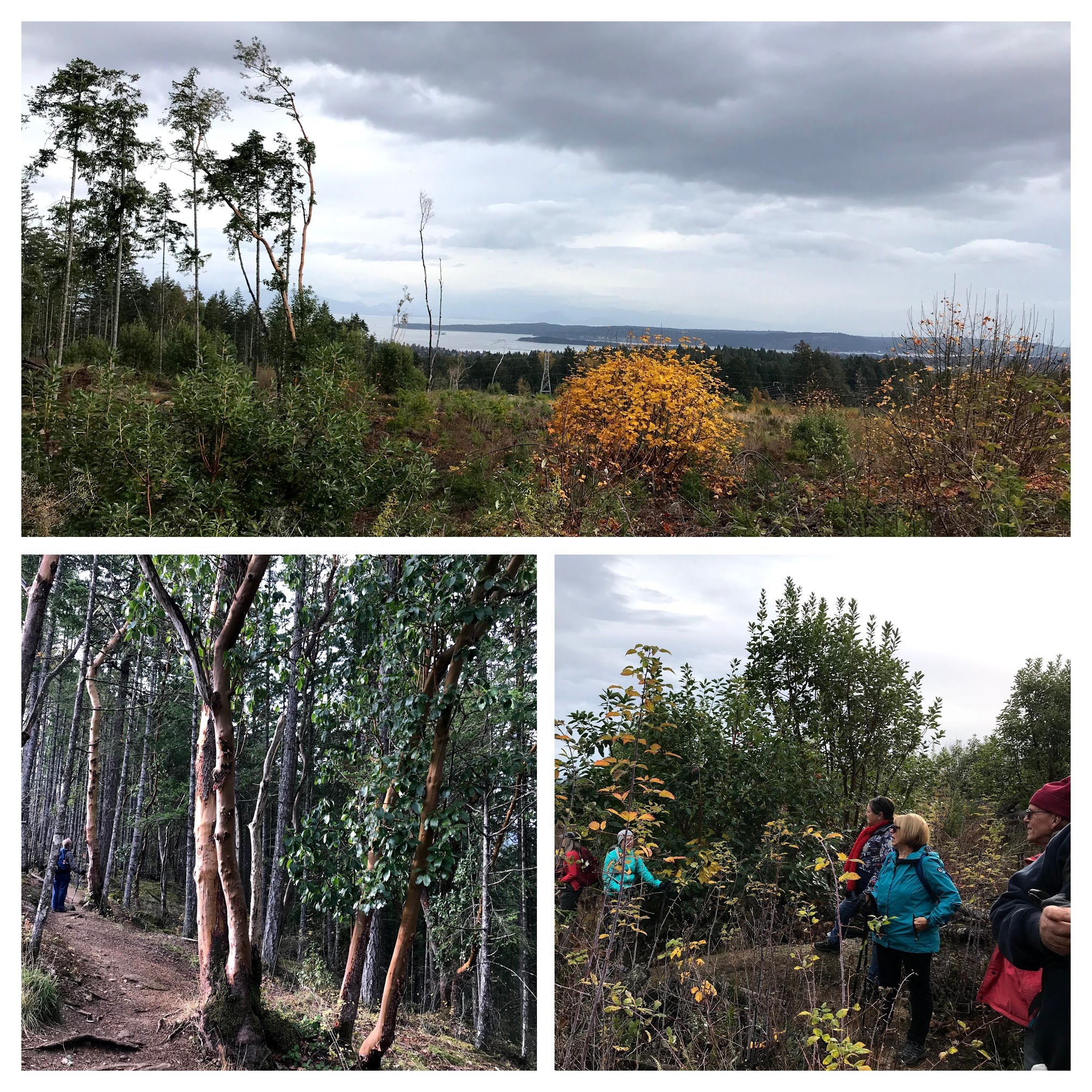
Hiking and exploring the Trans Canada Trail around south Nanaimo

Today’s blog post will explore one small section of the Trans Canada Trail!
Click the photo to Learn about Exploring the Trans Canada Trail

The section of the Trans Canada Trail we are exploring today is located in the Regional District of Nanaimo (Vancouver Island) which includes Extension Trail and the mysterious Abyss and spiritual Labyrinth.
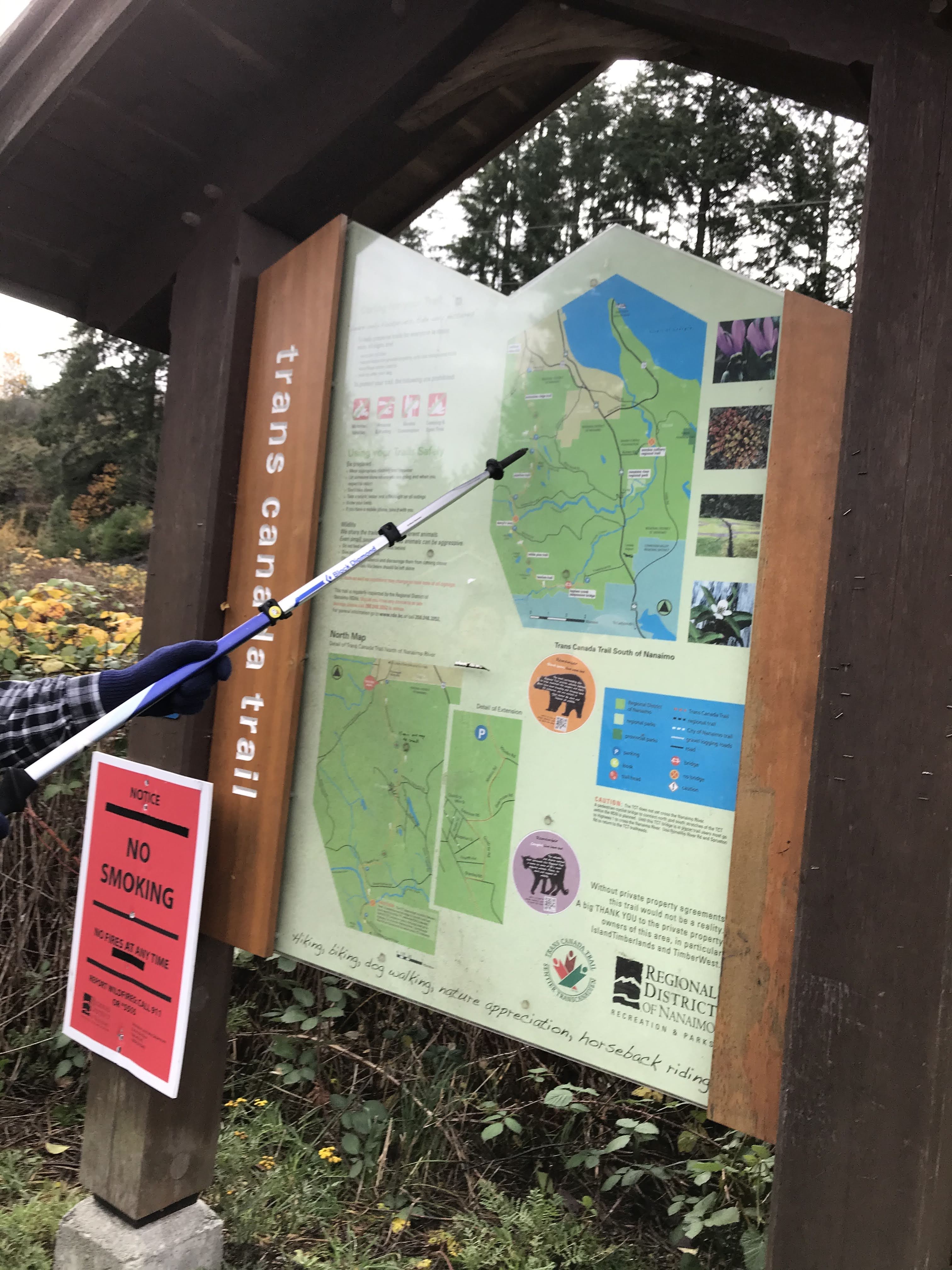
The Regional District of Nanaimo map illustrating our days hiking excursion route.

The photos on this blog post reflect two separate hiking excursions–both occurring during autumn (October 8th and November 5th). This is a lovely time of the year to go hiking around Vancouver Island as the weather is a bit cool, there are usually very few annoying flying insects, and snow and ice have not yet arrived.
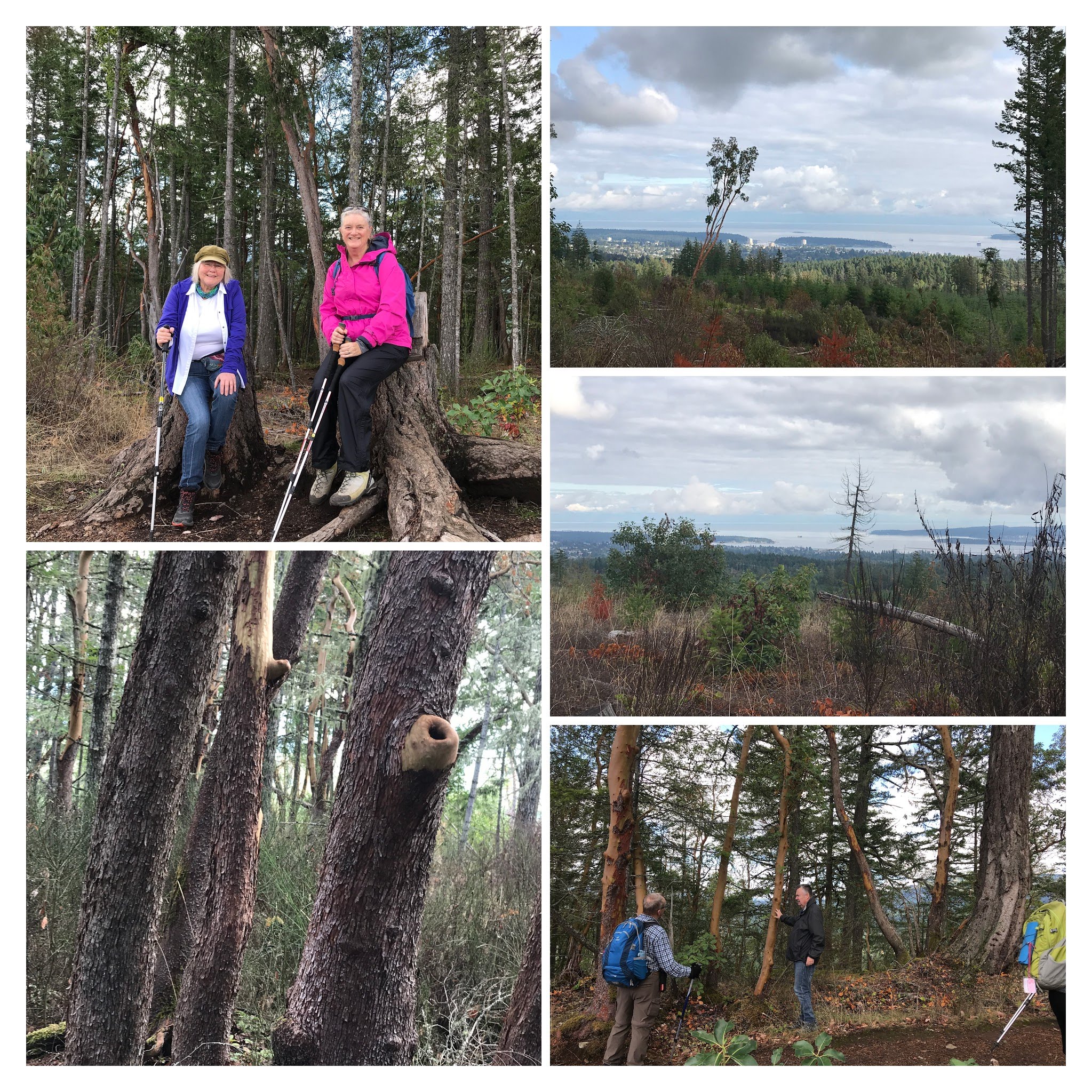
The Extension Ridge Trail. My friend and I perched on the lookout stumps named “The Thrones”.

The deciduous trees have started dropping leaves which provides colorful surrounding foliage. Sometimes it can be a bit wet or muddy in sections; but if you wear good hiking boots and use walking poles (optional), this is a fun way to connect with nature, breathe fresh air and get some exercise!

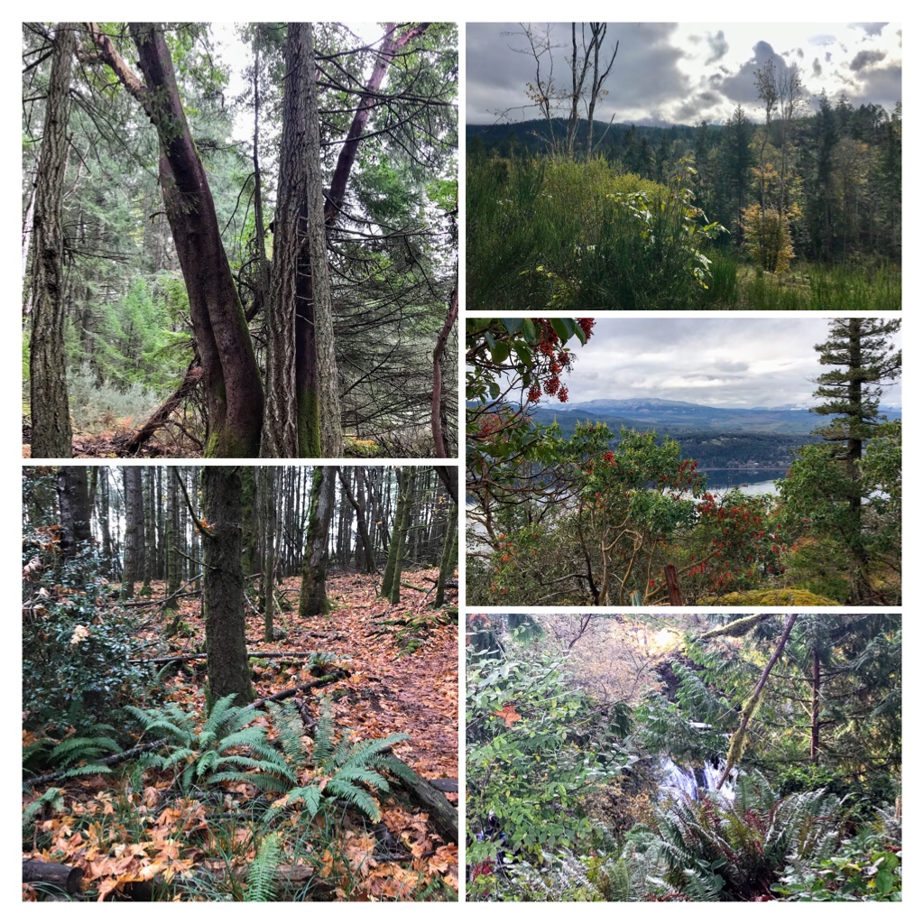
In addition to coniferous trees (Cedar, Hemlock, Douglas Fir, Pine), there are great quantities of Arbutus often shedding their reddish bark along this trail.

There are extensive trail options to explore. It is a fascinating geological area as the Nanaimo region has an extensive history of coal mining and is also in an earthquake zone.

There are signs indicating “Keep dogs on leashes” posted around the Abyss.

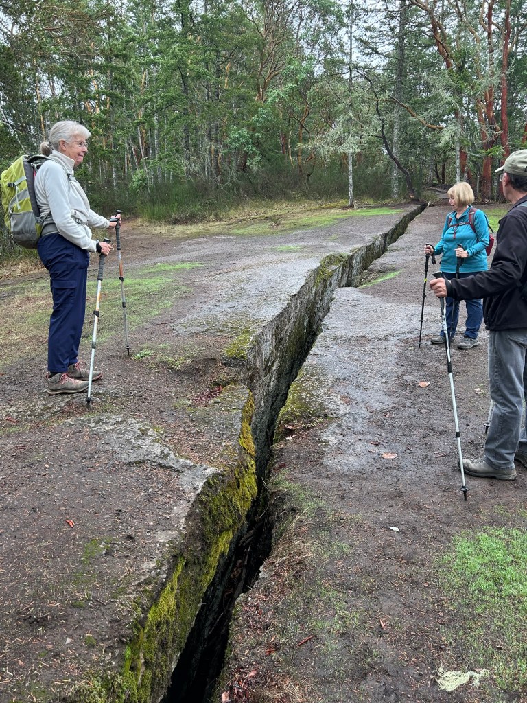
The “Abyss” is a famous natural landmark on this trail. The origin of this substantial deep crack is attributed to a combination of underground coal mining and more recent earthquake activity. In spite of its obvious safety hazard, nearly every year rescue personnel are called to try and save dogs that have fallen down into the deep crevice!
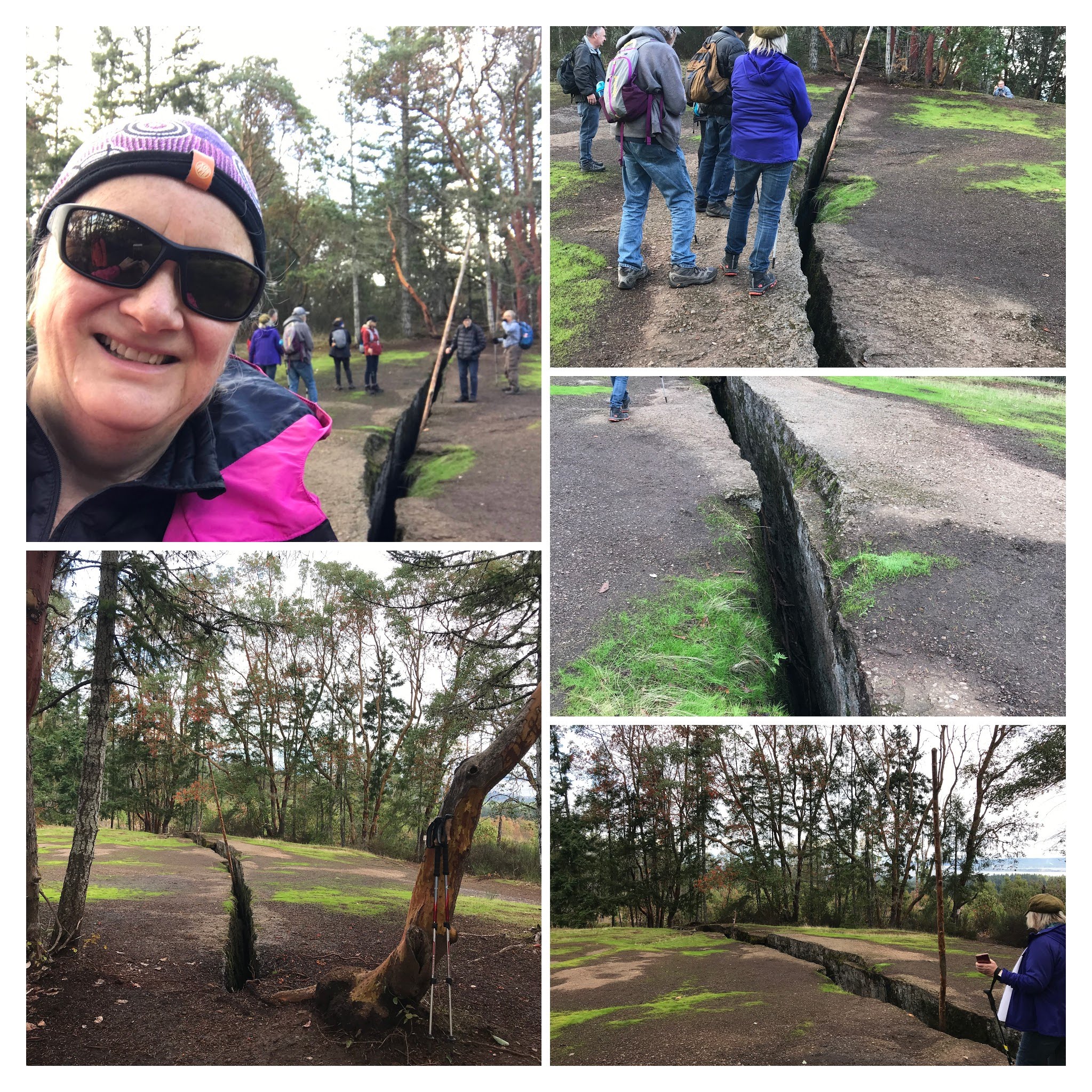
My HCNC Hiking Group checks out the depth and length of “The Abyss” crack!

This following blog post from Tourism Nanaimo offers additional information about these trails and their history.
Click the photo to learn more about The Abyss from Tourism Nanaimo

Continuing along the Extension Ridge Trail past the Abyss, you will encounter more Arbutus forests and stunning views of the ocean and surrounding islands. There is a lookout spot with two large stumps which the locals call “The Thrones”.

The “Thrones” and beautiful views of the ocean and surrounding islands.

When you arrive at the “Fairy Circle” junction you can select your next path choice. If you head left, you will discover “The Labyrinth” where you can quietly walk through the maze and meditate or contemplate life.
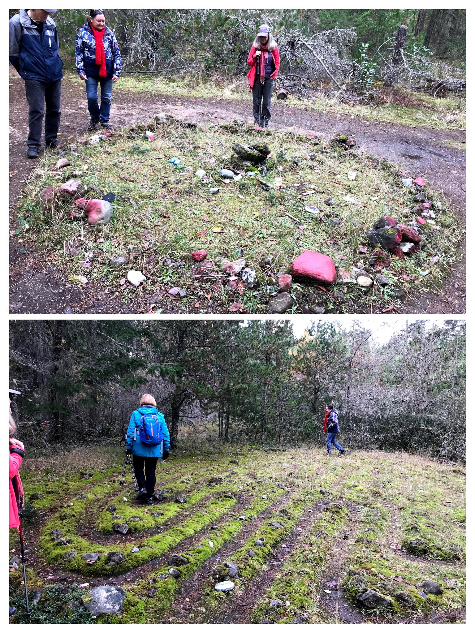
The Fairy Ring and The Labyrinth on Extension Ridge Trail

This interesting moderate level hike takes about 3-4 hours to explore. There are lots of adjourning trails so your adventure could easily continue much longer if you wished.

Future blog posts will share more beautiful hiking locations around Nanaimo and trips exploring southern Vancouver Island.

Keep safe and keep optimistic. Cheers. S

Update: October 2023 This is an addition to my blog post in response to a question I received this month from a reader.

When I first hiked and explored the “Abyss” the two sides of rock appeared fairly even in height as shown in these previous google images.

Images of the Abyss shown on the web.

During our most recent hike a few weeks ago we all noticed that the two sides of the Abyss appeared to have changed in height difference… hmmmm? Is it our imagination or is a force changing the levels of the surface?
October 2023. Is a slight slide in the crack occurring?
Categories
Adventure Exploring Outdoors Exploring Vancouver Island Hiking trails

Hike Historic Harewood Colliery Dam Park. Vancouver Island.

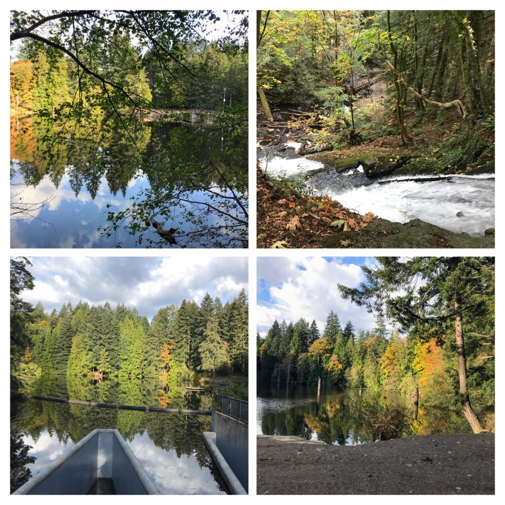
Introducing Harewood Colliery Dam Park–officially recognized as one of Canada’s Historic Places. This blog post is dedicated to explaining some of Harewood Colliery Dam’s historical significance while illustrating the beauty and features related to my theme of Hiking trails around Nanaimo, Vancouver Island.

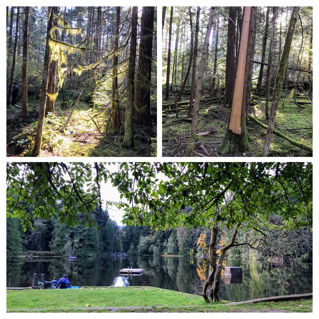
Colliery Dam Park during Autumn (October).

The Colliery Dam Park, at 635 Wakesiah Avenue, is a popular destination in Nanaimo for a multitude of reasons. Parking is available in several locations around the park. There is wheelchair access to the first lake which is a popular picnic spot during summer. Fresh water swimming (no lifeguards) and fishing is permitted in the lakes. Although dogs must be on leash on the majority of the trails, there is an off leash area with lake access on the upper dam. The trails offer a variety of fitness options from easy to fairly steep climbs.

Colliery Park trails—May

In addition, Colliery Dam has historical significance to the Nanaimo area. The Dams were built in 1910-11 by the Western Fuel Company. Originally the water was necessary in coal mining to wash coal, and be utilized by miners, mules and horses. Many of the homes in the historic area of South Harewood eventually gained access to, and benefitted from, this fresh water supply.

Colliery Dam fresh water lakes—May

While researching about Harewood Colliery Dam, one of the most informative websites I discovered was from Vancouver Island View. vancouverislandview.com Colliery Dam Park In Nanaimo

Beautiful foliage and bird songs—May

The photos I am sharing of Colliery Dam Park were taken on several walks and hikes in the park during mid May, September, and October. We avoided the summer months, as this popular park gets too busy for our Covid safety comfort level.

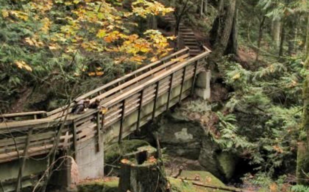
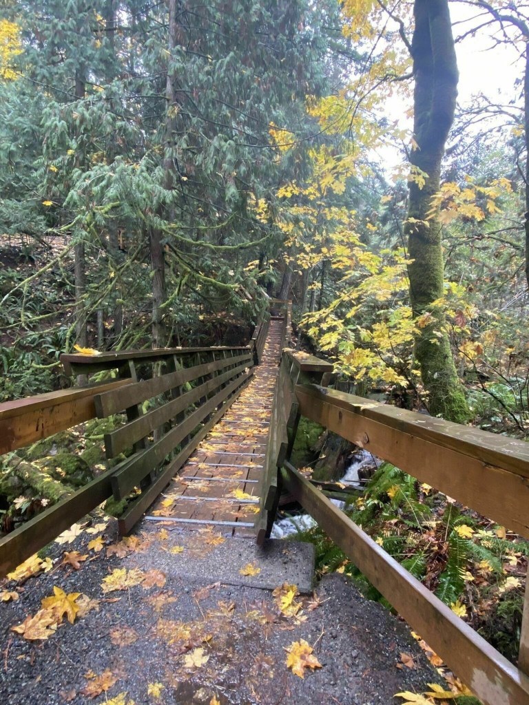
Autumn—some of the wooden bridges and stairs sections along the trails.

The following photos were taken during autumn (September and October) on some more challenging trails around the park and surrounding areas.

Autumn. Colliery Dam Park.

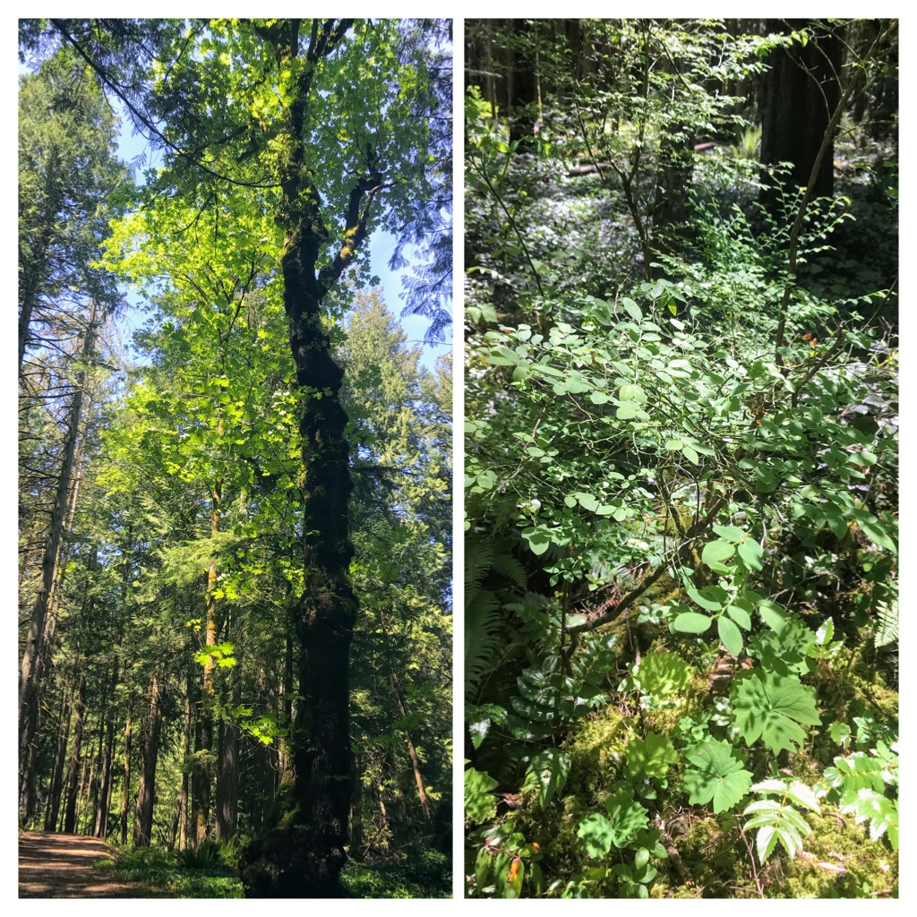
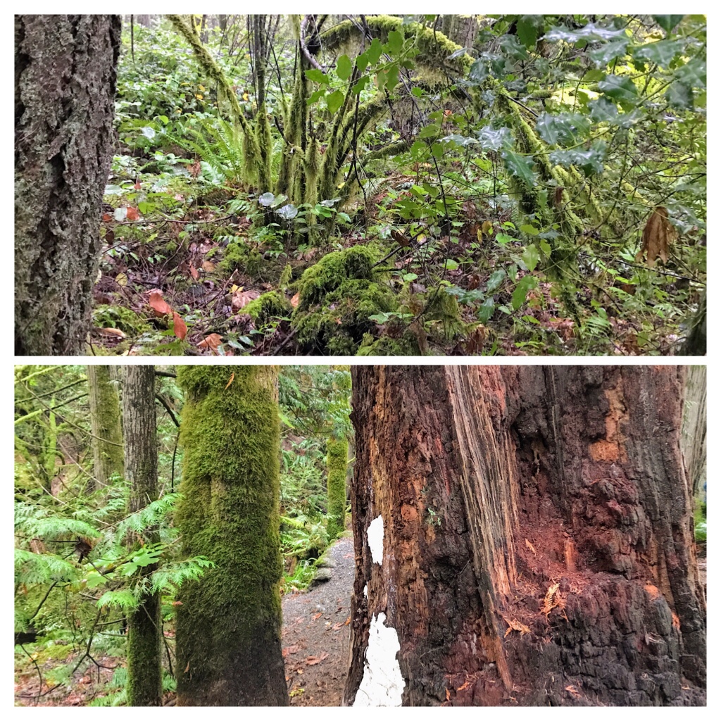
The deciduous trees are dropping their leaves — particularly the giant Maples. It’s a harvest feast of colour and lush undergrowth. Note the cedar stripped off the trunk of the cedar tree. Aboriginal People traditionally used cedar to create art, baskets, regale, and hats. Cedar bark is stripped in a lengthy narrow section, then the chosen tree will be left to heal and continue growing.

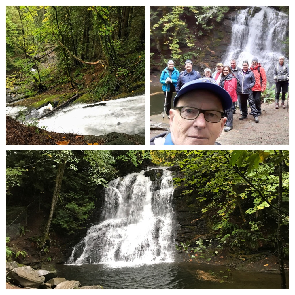
Autumn hiking group soaking up the lush rainforest.

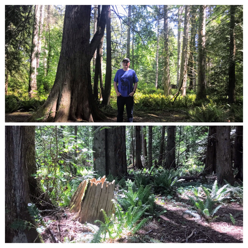
Feeling the richness of the woods around us…

Autumn—Colliery Dam

Time for our photo shoot beside Granny Falls (also known as Chase River Falls).

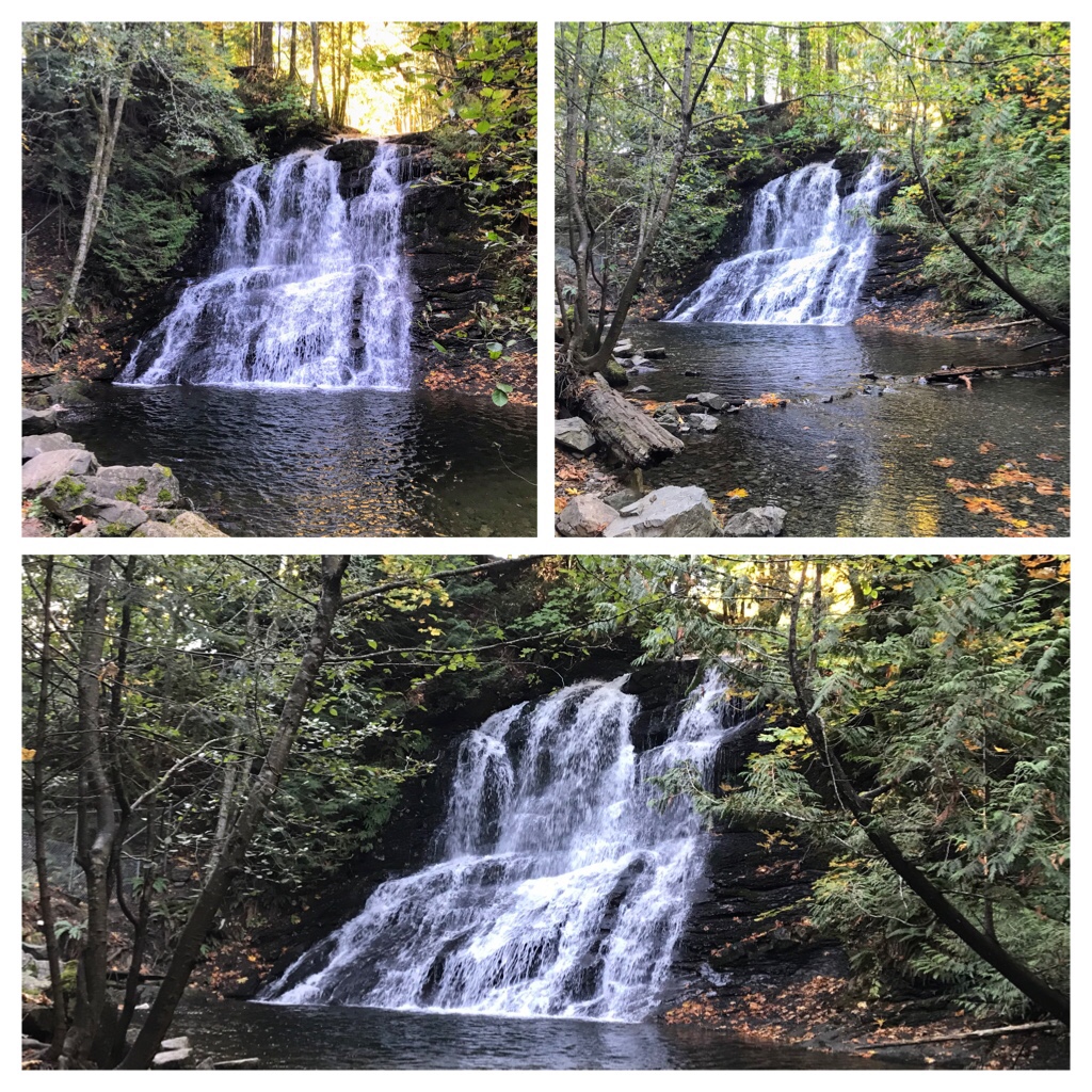
2 photos of Granny Falls —Autumn

Compare Granny Falls a month later…

Granny Falls (Chase River Falls) Colliery Dam

Another interesting site to explore is the tunnel of graffiti! It’s a fun art experience for all.

The tunnel of graffiti!

Since Covid 19 surfaced, a covid face mask mysteriously appeared inside the tunnel protecting Marilyn Monroe’s stunning face.

Bridges and trails around Colliery Dam—October

There are many trails to explore around the Colliery Dam Park. I will return again soon! In the meantime, there are other hiking locations to explore and Sophia’s (our cat) antics to share.

Keep Safe and Keep Optimistic! S

Categories
British Columbia Exploring Outdoors Exploring Vancouver Island Hiking trails Nature Remembrance Day

Autumn Hikes. Exploring the Rainforest around Nanoose Bay, Vancouver Island!

Vancouver Island is a nature lovers’ paradise. If you love to be outdoors and explore nature, there are endless possibilities around our beautiful Canadian island. This blog post discusses day hiking options around Nanoose Bay, British Columbia.

Colorful autumn hikes around Nanoose, BC.

If you commence your hiking trips from Nanaimo, Nanoose Bay is approximately 30 km or about 30 minutes drive northwest via the Island Highway 19 N (North).

Popular hiking trails at Nanoose Bay include: Enos Lake Trail, Notch Hill Park, Notch Hill Loop Trail and Bonnell Creek Falls. It is easy to search for information about hiking trails in this area, but a source recommended by many local hikers is https://www.alltrails.com/canada/british-columbia/nanoose

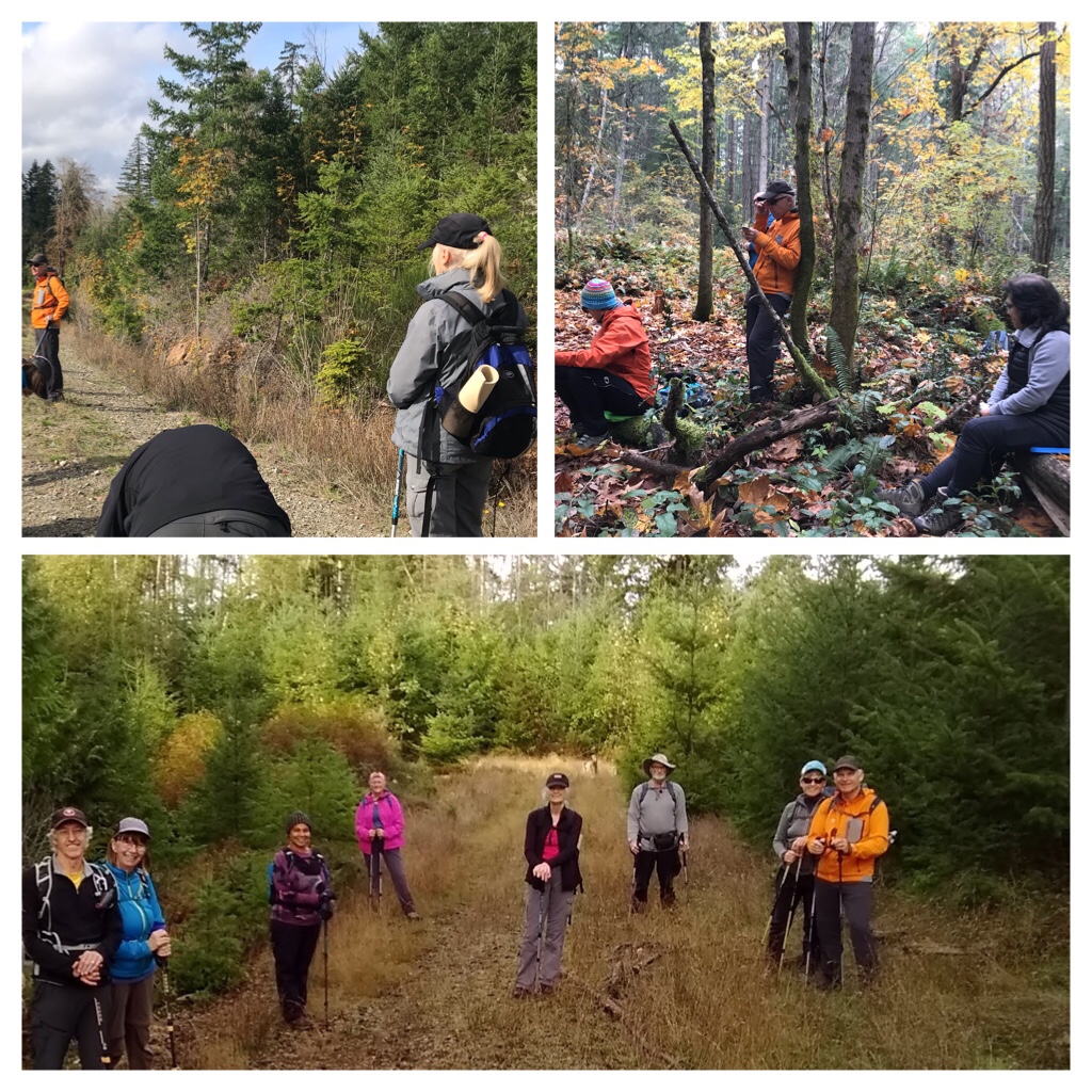
Due to reaching herd immunity (over 85% of people over 12 are now fully vaccinated against Covid 19 in my Canadian province of British Columbia), hiking groups are now allowed to explore once again! We are all covid careful and everyone has to show their covid vaccine QRCode passport in order to join the group.

Covid style hiking groups

Let’s go hiking!!!!

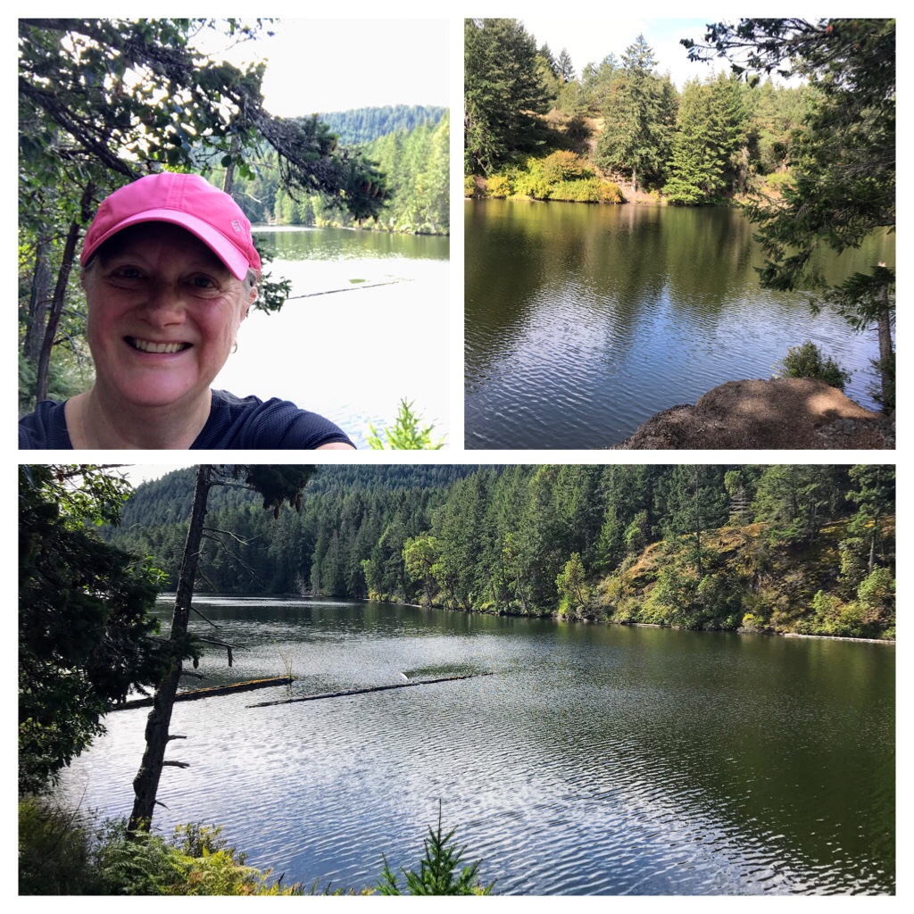
This is Enos Lake hike in September. The weather was sunny and warm. The deciduous trees were only starting to change colours. This is a gorgeous lake hike with many trails to explore.

Enos Lake, Nanoose Bay

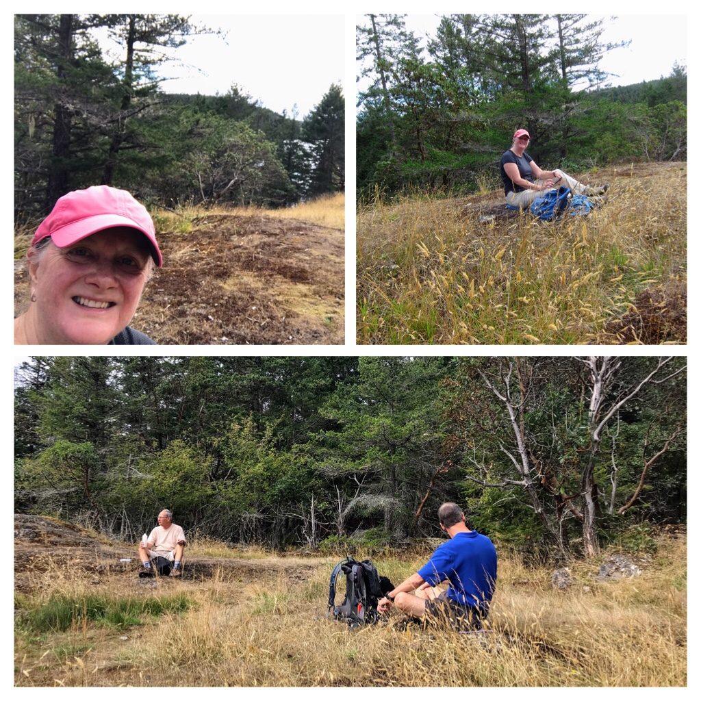
We stopped to have a break and eat a snack on a grassy spot up the hillside above the lake.

Hiking break at Enos Lake Park trail

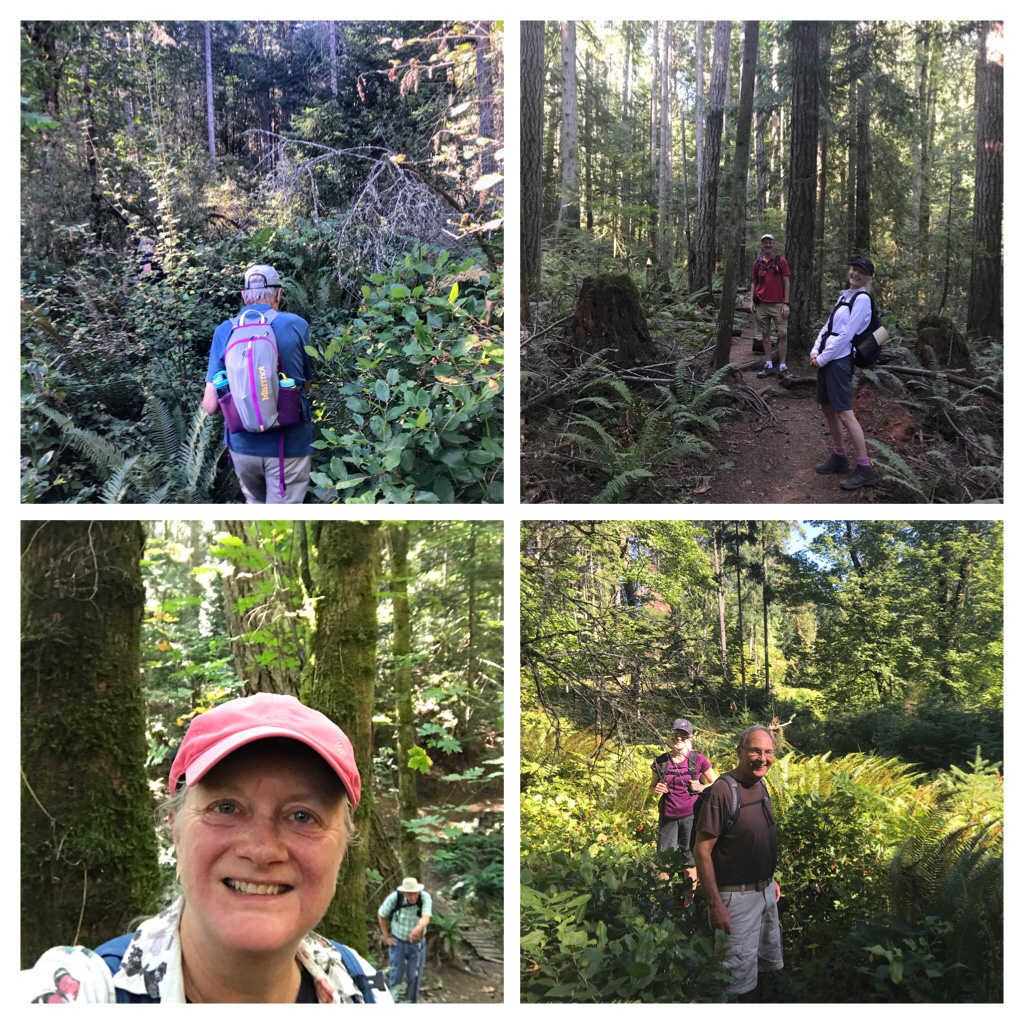
A week later, our hiking group explored trails closer to the Lantzville side of Nanoose Bay. It was another sunny September day. We did not require jackets or toques yet.

Lantzville area hike in September

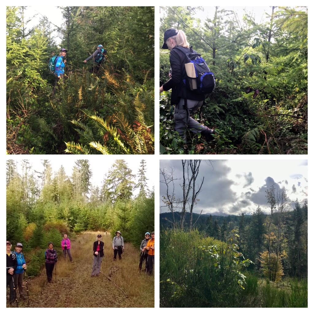
The trees along the trails were regal and the rainforest undergrowth was so thick in places that we had to create new paths!

Breaking paths on hike near Lantzville

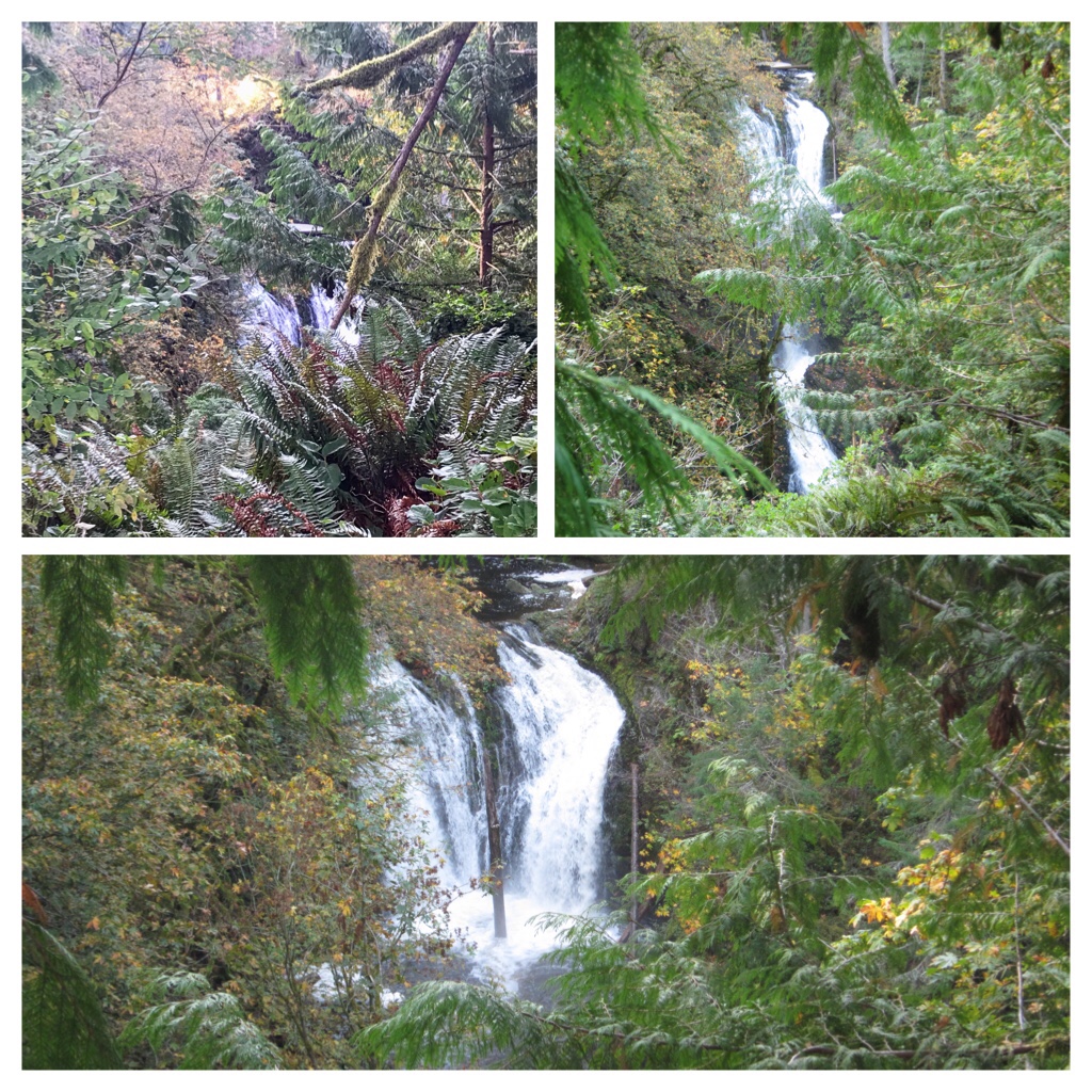
As the weather started changing into normal Autumn patterns, the winds and rains increased causing more trail obstruction damage from tree windfalls and slippery trails. The water levels in the creeks and rivers also increased.

Bonnell Creek Falls, Nanoose Bay in October

Our hiking rain jackets and pants were getting used more regularly now as were 1 or both hiking poles during our adventures. This next hike occurred at Bonnell Creek Falls in mid October.

Creating new paths through underbrush at Bonnell Creek Falls area

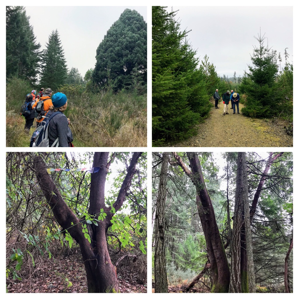
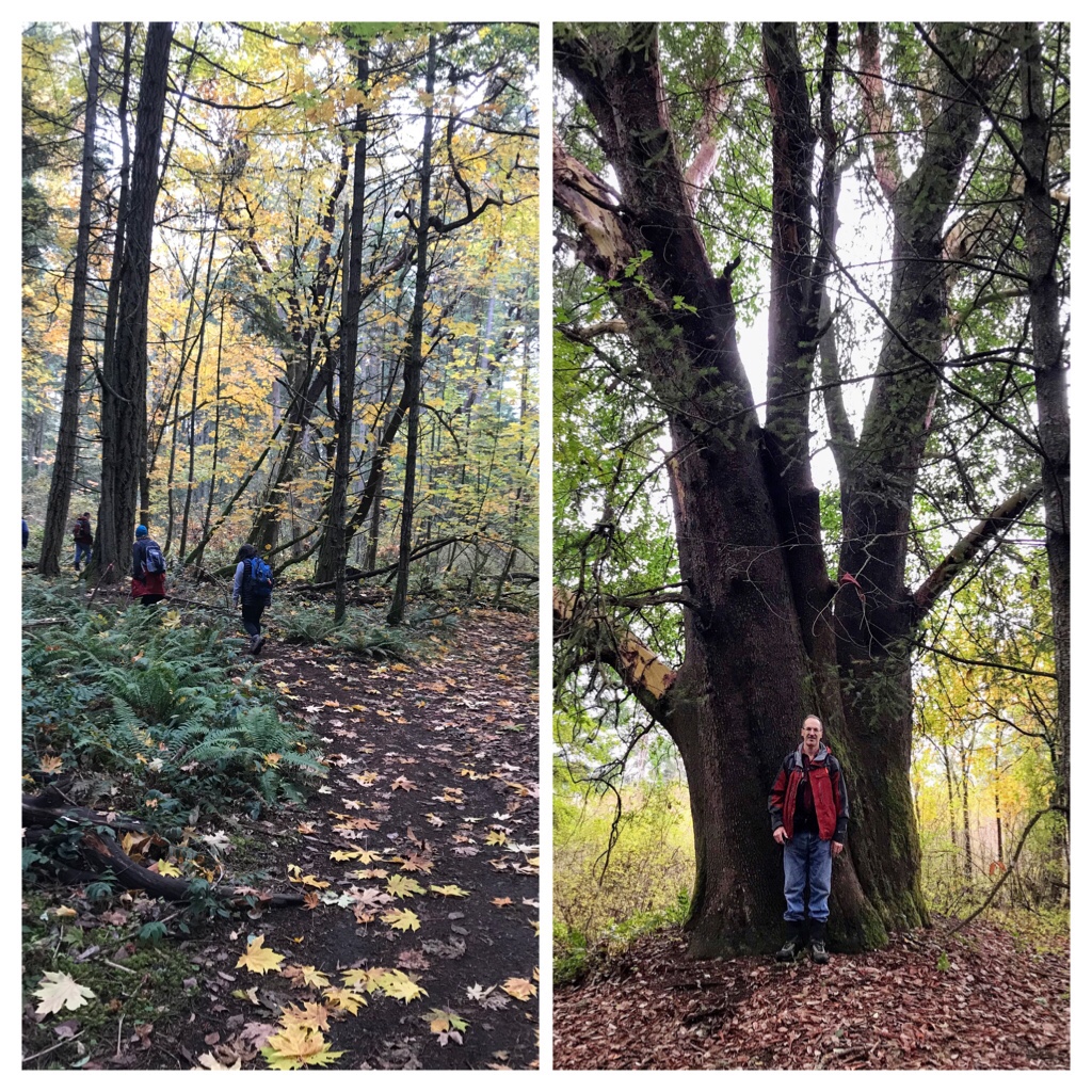
Another great hike in the Nanoose Bay area is “Big Trees” trail. This hike occurred in late October.

Big Trees Trail

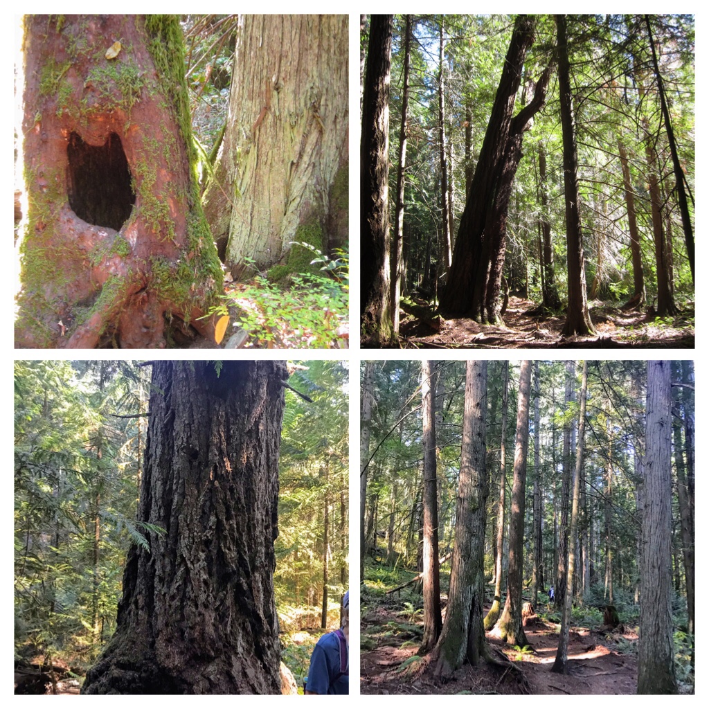
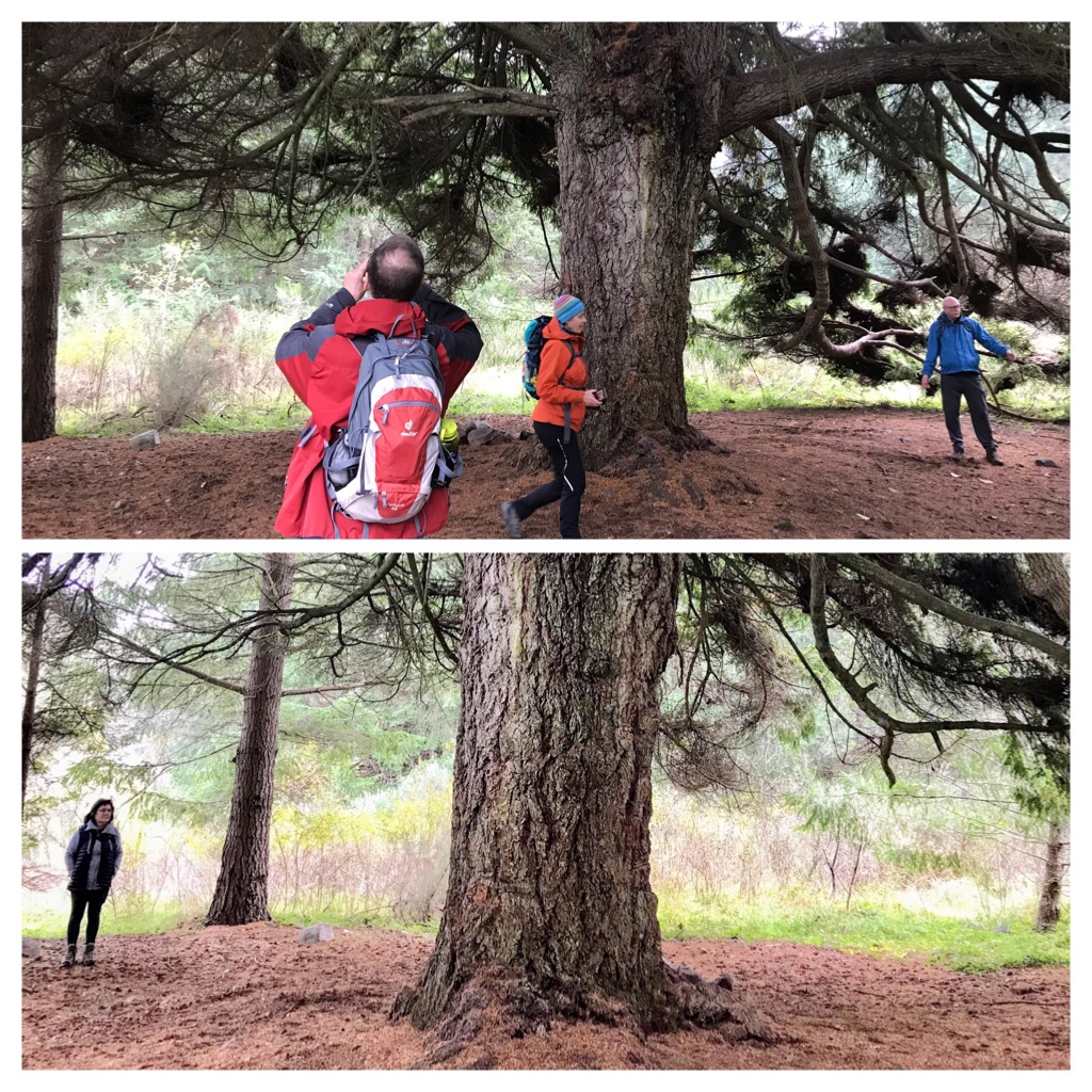
We discovered some enormous Arbutus and an enormous Evergreen.

“Big Arbutus Tree”. Our hiking leader posed to illustrate the size of this Arbutus tree.

There truly were “Big Trees” to discover!

Another “Big Coniferous Tree” we discovered.

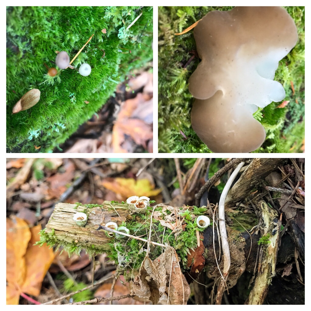
The rains and winds had assisted in dislodging most of the Maple tree leaves around the trails. Although the deciduous trees looked rather bare, the colorful leaves and variety of fungi were enchanting.

COVID Careful Hiking. Break time at Big Trees trail.

A musical Canadian experience in Autumn, is the sound of leaves rustling around your feet as you walk or hike along through the abundant variety of nature trails.

Fascinating diversity of fungi in late October.

Last year on November 11th, our group explored around Enos lake and upward to the “Notch“.

November 11th 2020 hike around Enos Lake and upward to the Notch

At 11:00 a.m. we stopped in a quiet location in the forest beside a river. We all respected 2 minutes of silence to reflect on our freedom in Canada, our goal for peace, and our gratitude for those soldiers and personnel who fought to ensure our freedom. Following the silence, we had an opportunity to share a personal vignette of how Remembrance Day is significant to our families. It was an extremely powerful and sentimental experience.

Here is a video presentation of our November 11th (Remembrance Day) Hike at Enos Lake and up to the “Notch”.

https://videopress.com/v/eoJj8sre?resizeToParent=true&cover=true&preloadContent=metadata
Remembrance Day Hike in Nanoose Bay

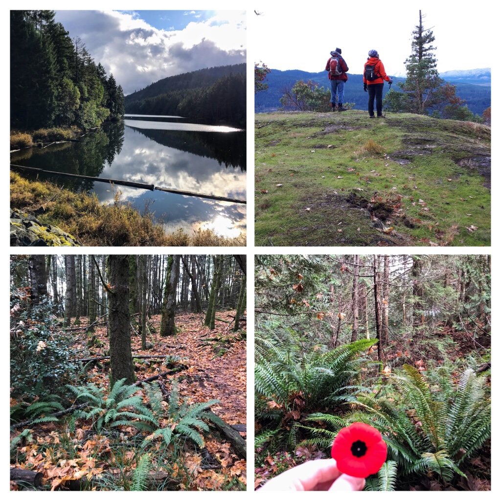
Remembrance Day 2021 will soon be here. I will be wearing my poppy and reflecting with deepest gratitude on the past; embracing the freedom we have living in Canada; and hoping for global compassion and peace.

My next blog posts will be about more amazing hiking experiences on Vancouver Island and possibly an update on our Rescue Cat Sophia and our neighborhood deer families.

Keep safe and Keep optimistic. S

Categories
Adventure Englishman River Falls Exploring Vancouver Island Hiking trails Travel

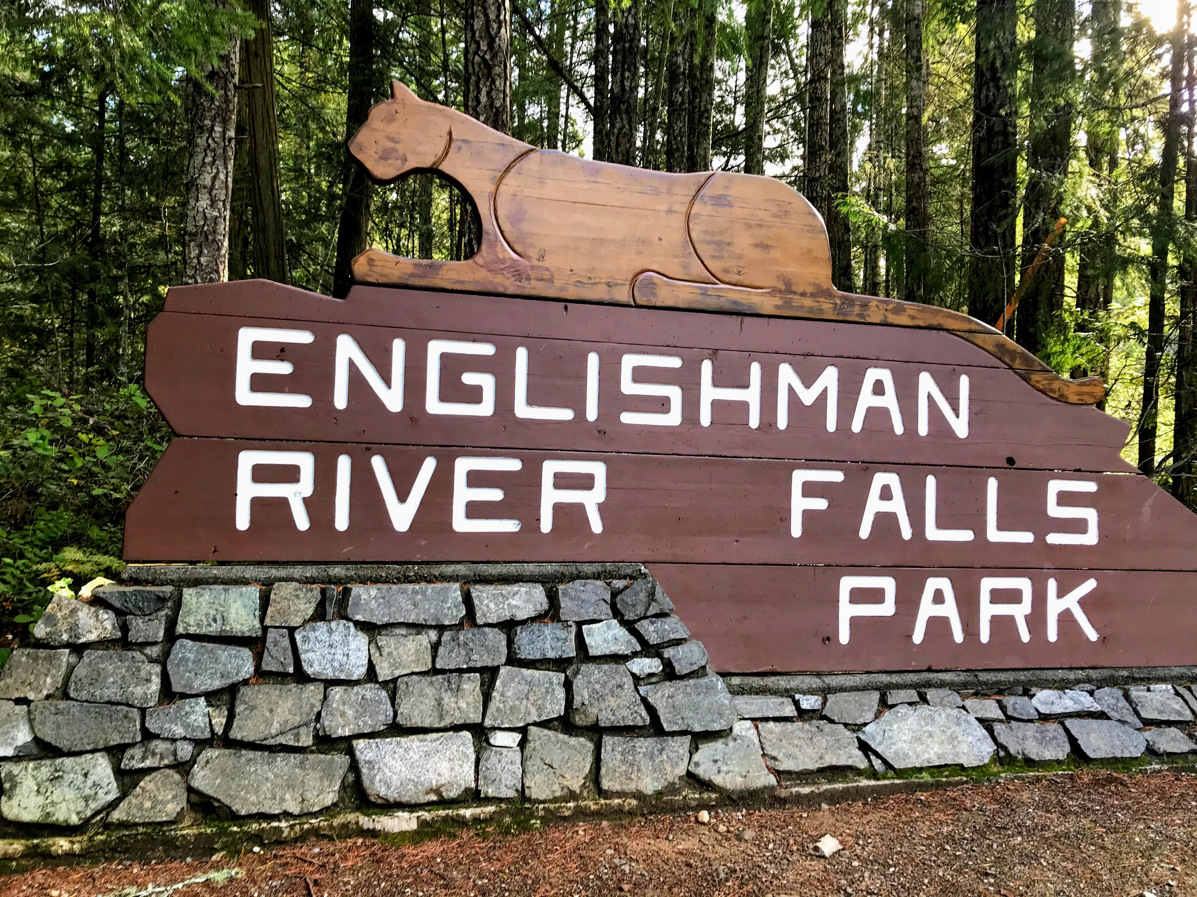
Mystical Englishman River Falls Trail

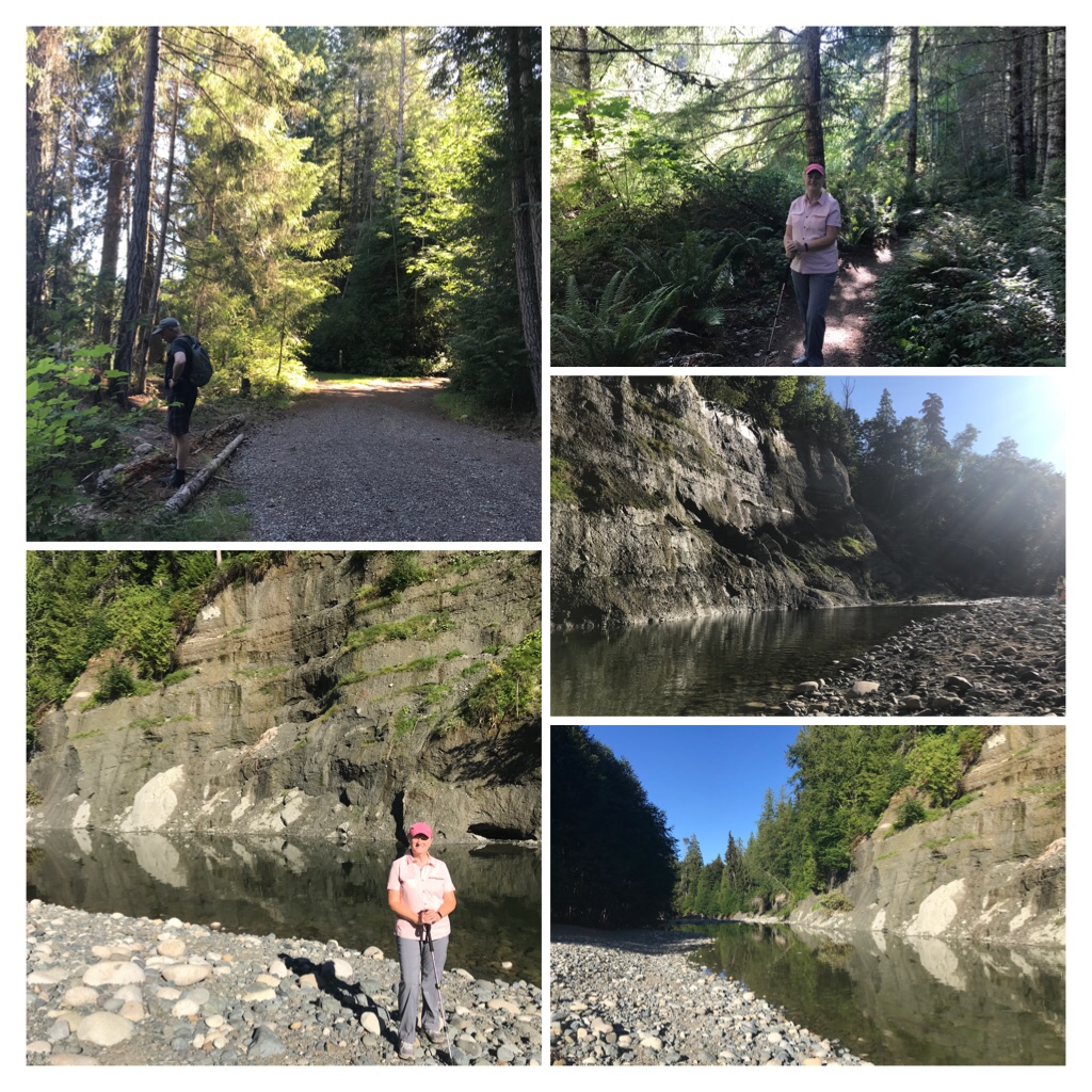
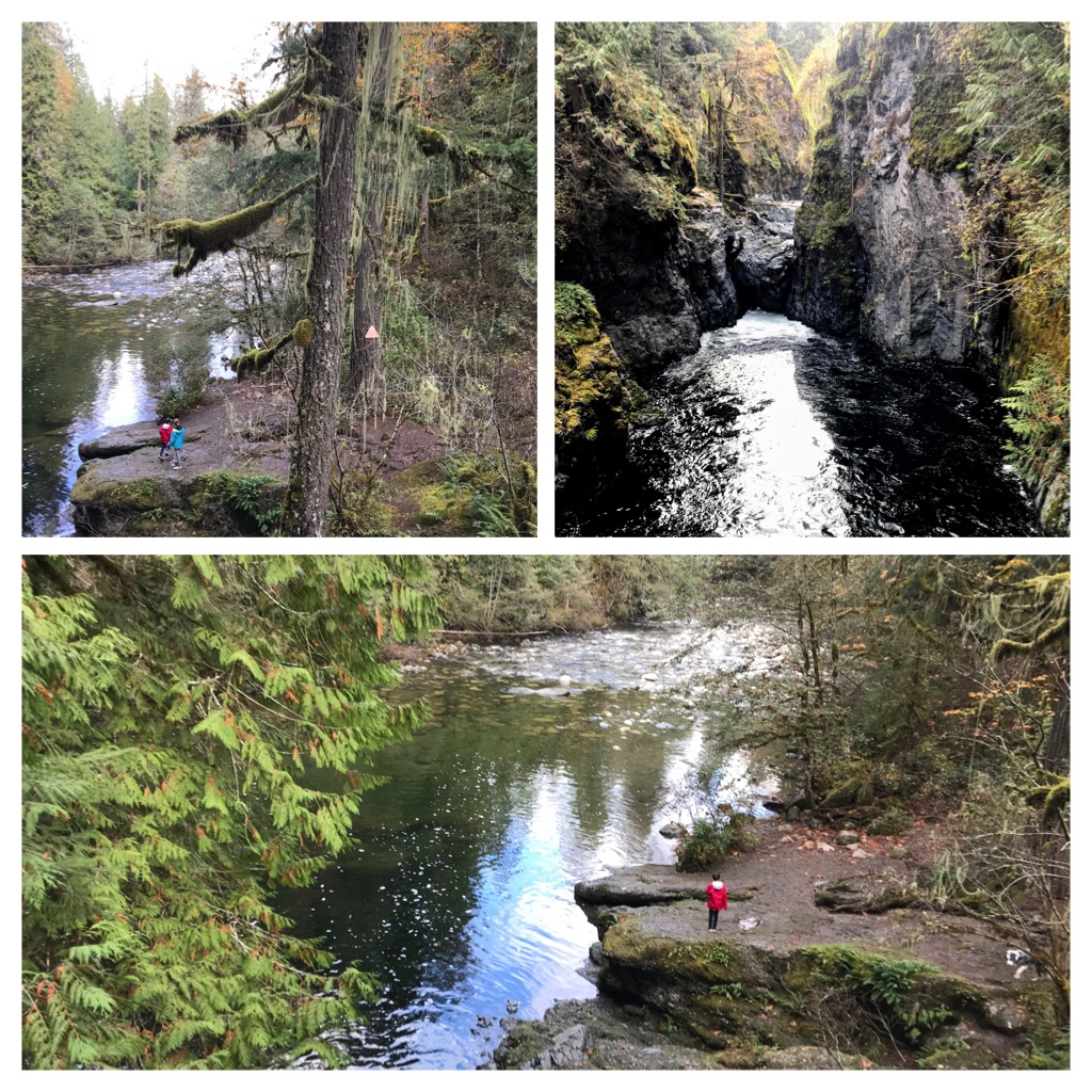
If you enjoy fresh air, exercise, and experiencing nature through lush Vancouver Island rainforest adjacent to rivers and waterfalls, then Englishman River Falls Park is a mystical place to explore.

Central Vancouver Island–Between Nanaimo and Parksville.

The British Columbia Provincial Park even offers seasonal camping and the trails are utilized for hiking, running, biking, and nature exploration. Check the BC Parks website for updates about any trail closures or campfire bans.

Englishman River Falls Trails

Englishman River is located 35 km northwest of Nanaimo or 13 km southwest of Parksville. It takes about 30 minutes to drive to the park and conservation area from Nanaimo.

It’s a Tranquil hike on a hot day during summer!

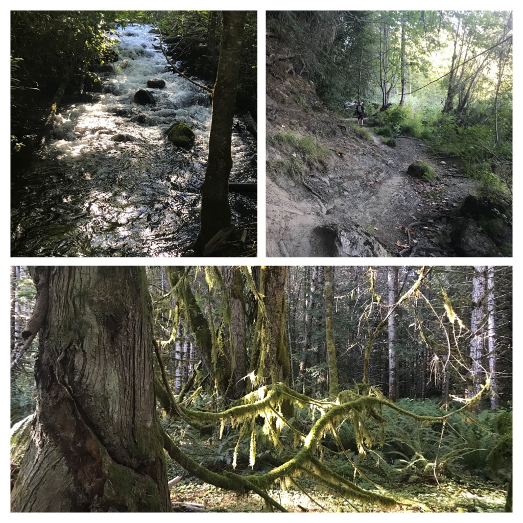
The main trail is a 1.3 kilometer loop with a minimal elevation gain of only 52 meters mainly adjacent to the meandering river.

Englishman River Falls Trail during summer

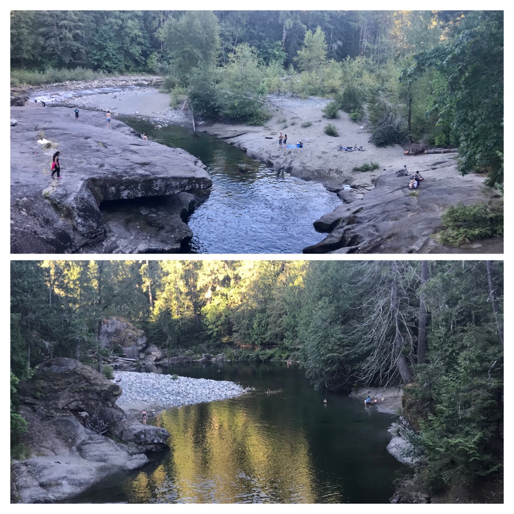
There is a suspension bridge which overlooks a popular swimming area.

Cooling off in the river during summer.

Many additional trails, of varying levels of difficulty, are fun to explore too. The previous photos were taken during the summer month of August.

Englishman River Falls Trail in mid October.

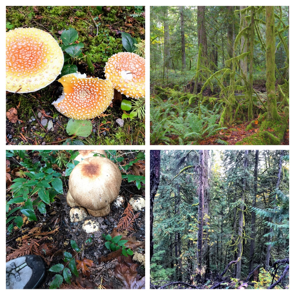
The following photos illustrate the richness in green growth, increased levels of water, and presence of mushrooms and fungi during autumn (October) on the Englishman River Falls trails.

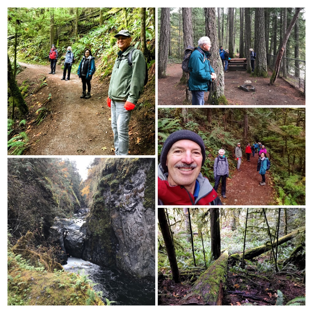
Autumn hiking on Vancouver Island

In addition to hikers, people walking leashed dogs, and trail bike enthusiasts, you may even encounter the odd horse and rider traversing the outer, less used trails.

Gorgeous trails. Hikers practicing physical distancing safety protocols during Covid.

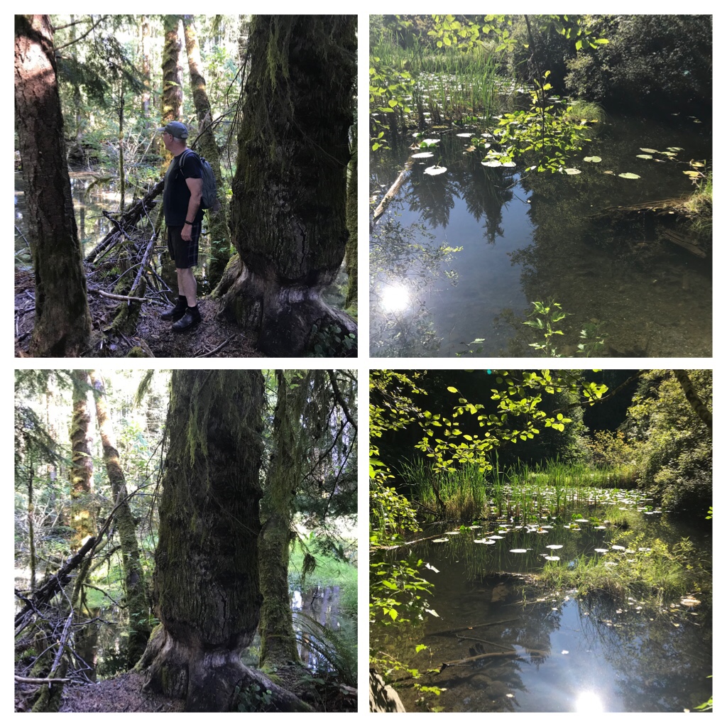
The Vancouver Island rainforest is abundant with vegetation and bird species. Watch for old growth and second growth evergreens interspersed in the forests of the park lands.

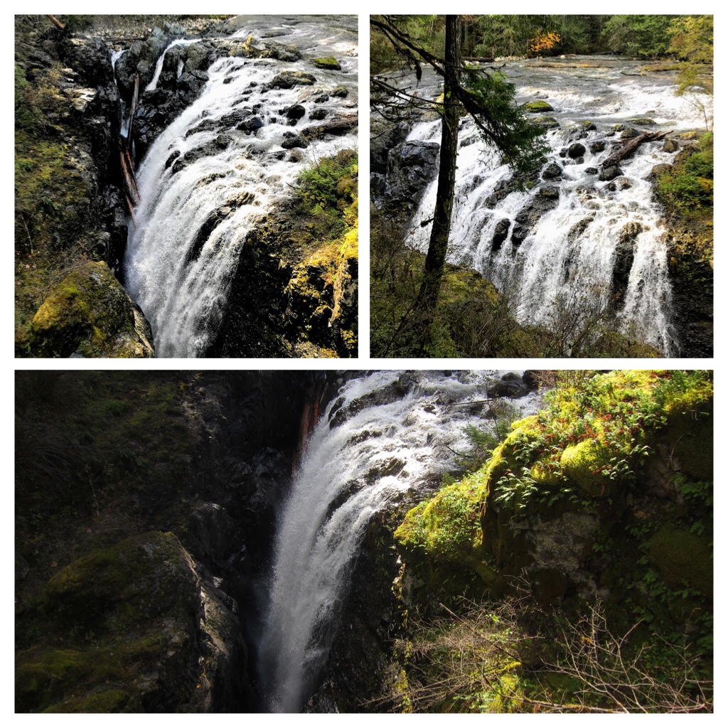
Lush Englishman River Falls

Englishman River waterfalls flow with the greatest volume and vigor after rainy seasons. However, this is also the season when trails can experience windfall (trees and branches down) and water erosion on the trails.

Englishman River waterfall mid October 2020

An excellent source of practical information when considering hiking on Vancouver Island is available from AllTrails app. https://www.alltrails.com/trail/canada/british-columbia/englishman-river-falls

I will return to hike along Englishman River Falls trails. However, the next blog posts will highlight some of the other amazing locations to hike or kayak around Vancouver Island.

Keep Safe and Enjoy Life. Cheers.

Categories
Adventure Exploring Outdoors Exploring Vancouver Island Hiking trails Seaside trails

Seaside Trails. Jack Point/ Biggs Park in Nanaimo, Vancouver Island.

Vancouver Island located off the western coast of British Columbia, Canada is a delight to explore. Today’s blog post shares another gorgeous seaside trail around Nanaimo. In keeping with the emphasis on nature and outdoors, I have added some cheery flowering plants found during June around Nanaimo as an extra bonus in this post.

Jack Point Trail in June

The B.C. Ferries arrive multiple times every day from Vancouver area to dock at one of 3 major terminals on Vancouver Island. The major terminals are Swartz Bay (Victoria), or Departure Bay, or Duke Point (both in the Nanaimo area).

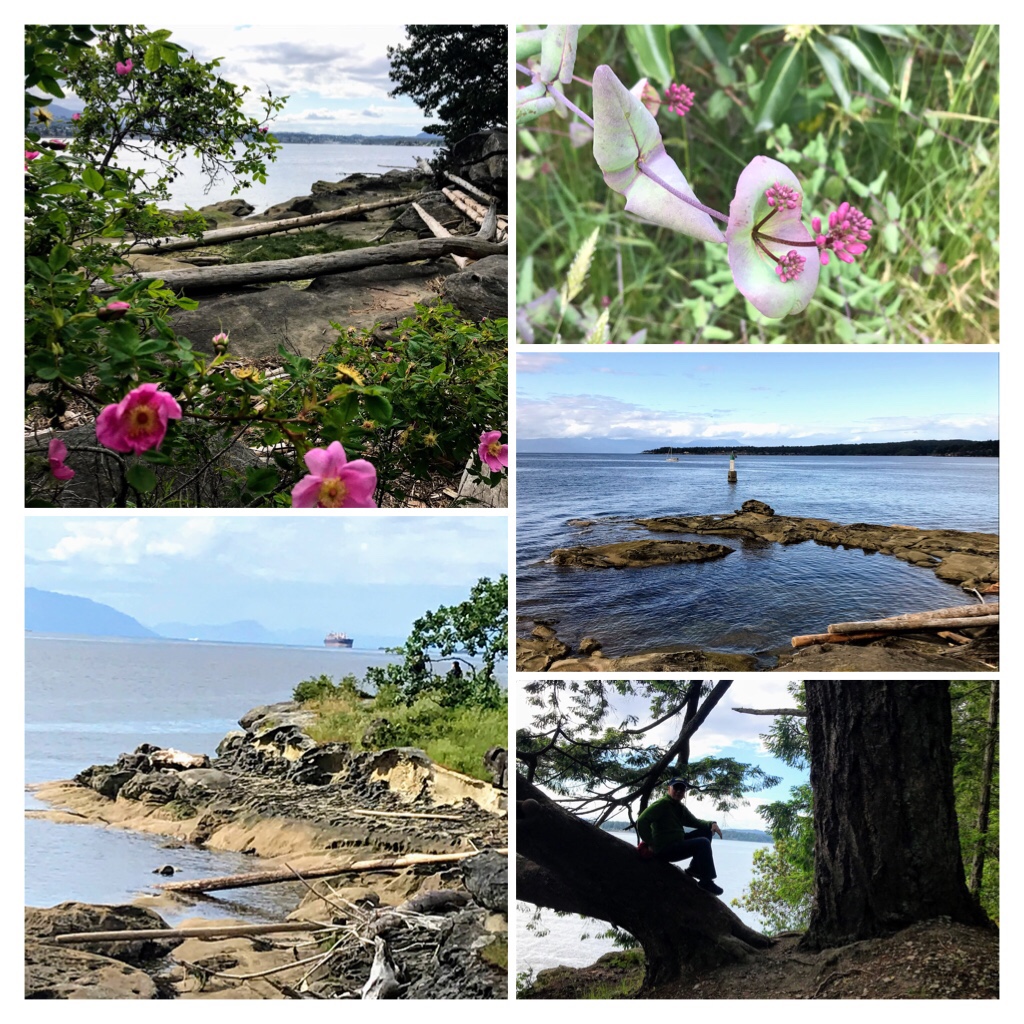
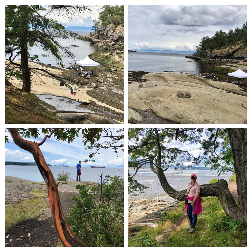
Today’s seaside hiking trail runs along one side of Duke Point. Biggs Point is the name of the 32 acre park which leads to Jack Point. Jack Point is a 5.1 km seaside trail. The elevation gain is only 65 m and the first section along the river is wheelchair accessible.

Scientists were busy studying ocean samples

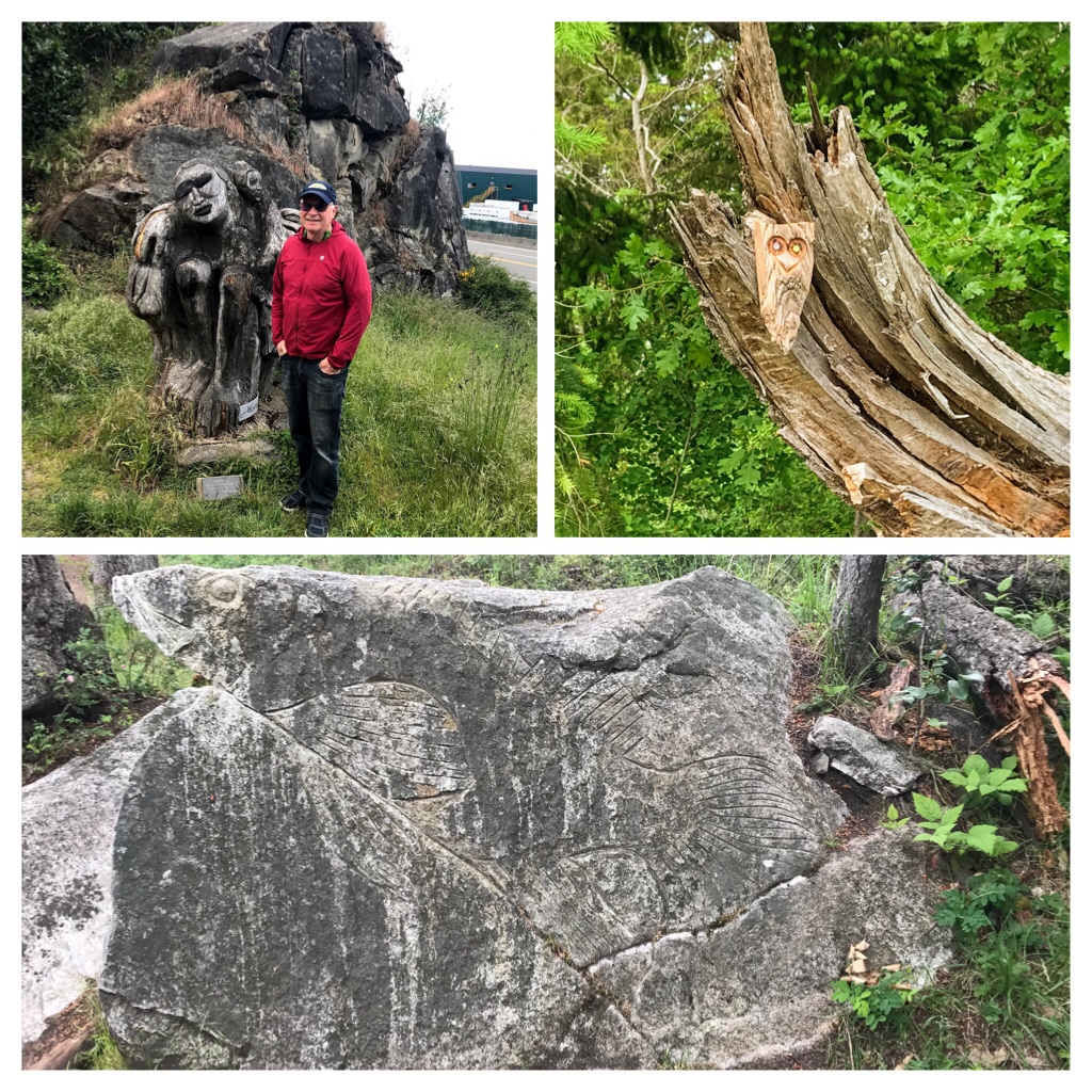
The trail is quite easy and used for walking, light hiking, and trail running year round. Keep your eyes open for interesting art and sculptures.

Jack Point Trail

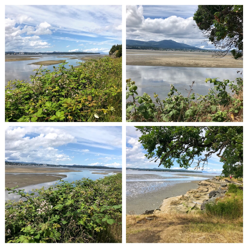
Beautiful views of Nanaimo River estuary, downtown Nanaimo, Protection Island, and Gabriola Island can be observed from the trail. Freighters, sailboats, and pleasure craft are common sights.

Nanaimo River estuary

During our previous two hikes at this location, there were over a dozen Great Blue Herons feeding in the initial estuary area in addition to a variety of birds: ducks, shorebirds, cormorants, songbirds, eagles. In spite of all the birdlife, there are still quite a few insects in sections, so arrive prepared.

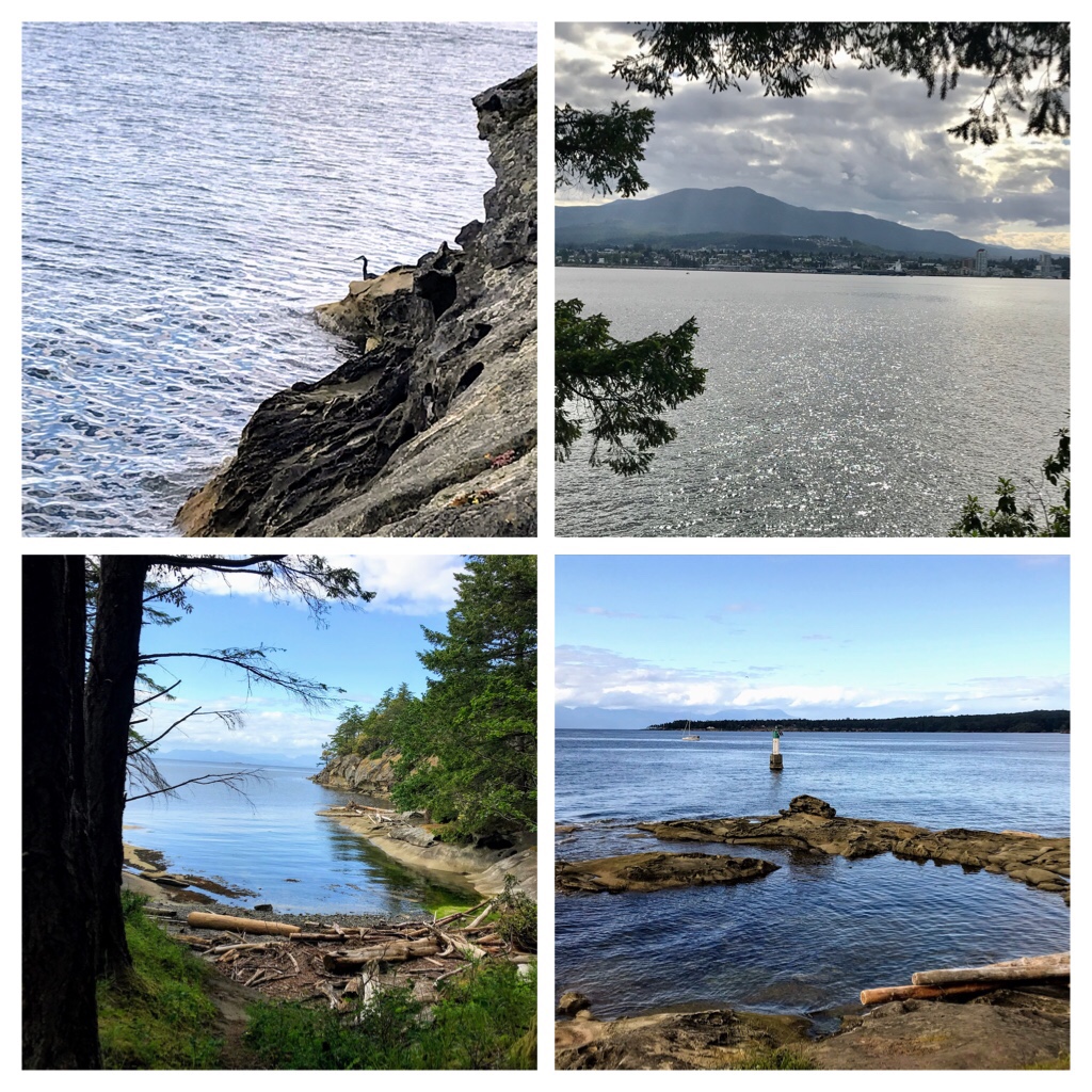
As you approach Jack Point you will discover wooden stairs and boardwalks over the bluffs. The rock erosion is quite interesting and the bluffs provide wildlife viewing opportunities.

Jack Point… This is where the Humpback whales were active

Bald eagles, sea-lions, seals, and harbour porpoises like to frequent this area. Humpback whales were even sighted breeching in this area recently!

After reaching the Jack Point lookout area (look for the marker in the ocean), you return by retracing your route along the trail through the beautiful trees and along the edge of the ocean which eventually turns into the estuary trail. Watch for the Great Blue Herons feeding at the rock bluffs and in the estuary.

Beautiful Nanaimo seaside trail at Jack Point

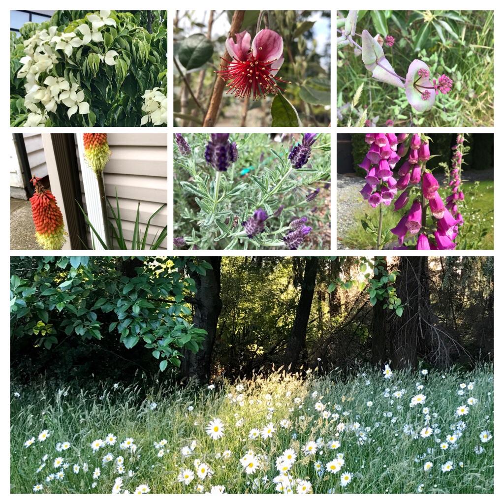
Bonus….As promised, here is a collage of a few of the diverse and beautiful flowers you could see while exploring the Nanaimo area on Vancouver Island during June.

A selection of a few flowers found in June in Nanaimo.

Keep positive my friends…The world is carefully returning to the new “normal”. My next blog posts will be sharing more outdoor exploration around Vancouver Island.