Categories
Adventure Exploring Vancouver Island Nature Pacific Ocean Seaside trails Stormy Surfing

Tumultuous Tofino! Check Drive B.C. First!

Summer 2021

After the second heat wave hit Nanaimo, we craved much lower temperatures and a cool, windy location…Even for a day!

Our choices were to drive 4 + hours (350 + km) northwest up Vancouver Island to seek temperature refuge in much cooler Port McNeill, Port Hardy, Port Alice or other tiny northern communities. Or, we could head due west 201 km to Tofino. The estimated time for this trip, according to several online sources, was about 3 hours. Today, Tofino won out as the destination of choice!
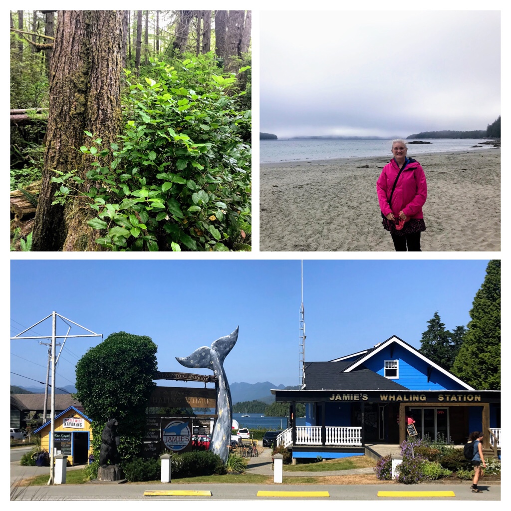
Tofino, B.C.

Temperatures in Nanaimo had been hitting 32-38 degrees C most days for a second stretch this summer. In some areas of the globe, this is normal or possibly mild, but for us in Canada, this is quite extreme and people were getting hospitalized with heat stroke and trying to cope by staying indoors or swimming in the cool ocean. In contrast, the weather forecast in Tofino was listed at 19-20 degrees C! We packed a cooler with picnic supplies, beach mat, hiking and swimming gear, and headed off to Highway B.C. 4 W.

There are so many amazing natural wonders and tourist attractions along this journey, so you need to decide whether to take a leisurely trip and investigate locations, or to push through directly to Pacific Rim National Park and Tofino. The choice is yours!

Thirty-five minutes (44 km) after departing from Nanaimo, you drive past Coombs. It is difficult to miss the line ups of parked cars near the Old Country Market. Look up and you will usually spot the goats eating grass on the roof of the market.
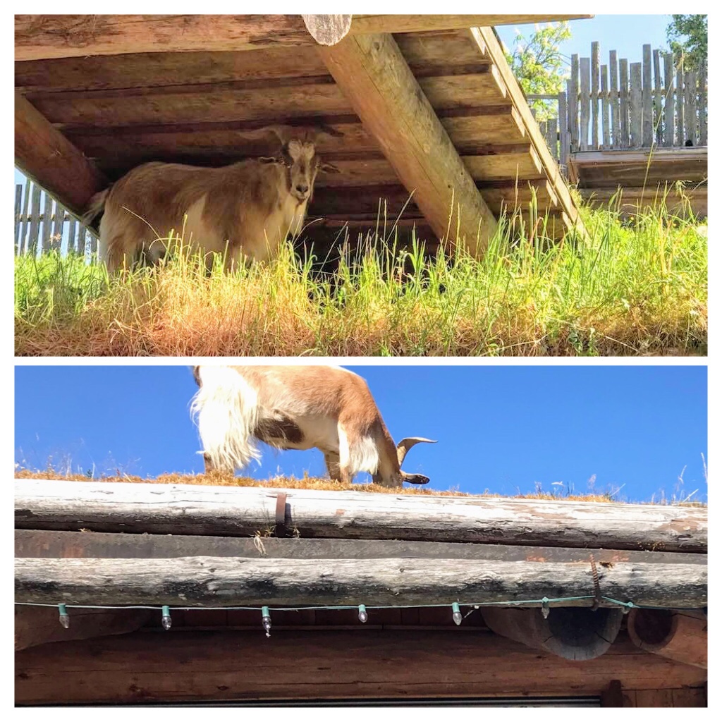
Coombs Goats on the Roof

Coombs is a fun and funky place to spend time sauntering, eating, shopping, and exploring. Coombs Old Country Market is usually open every day from March to December.

If you enjoy hiking and exploring the beautiful natural coastal rainforest, check out Little Qualicum Falls, and the famous Old Growth Douglas Fir Trees and giant Cedars in MacMillan Provincial Park at Cathedral Grove.

Old Growth at Cathedral Grove

The largest trees in this protected park are over 800 years old, 9 metres (29.6 feet) in circumference, and 75 meters (246 feet) tall. Bring your camera….The old growth trees along the trails are impressive and majestic! Here is a link to a practical guide for the Cathedral Grove Trail Area.

https://www.alltrails.com/trail/canada/british-columbia/old-growth-and-living-forest-trail-loop

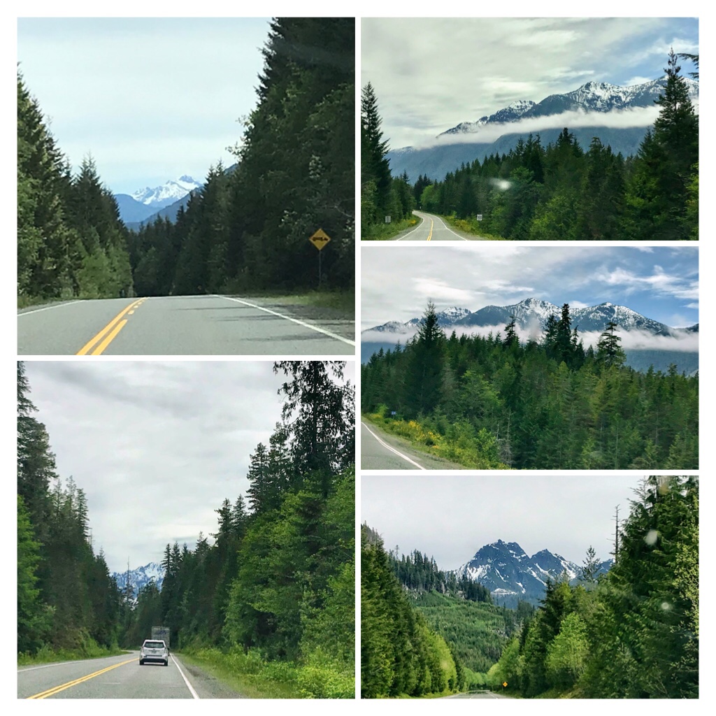
Once you arrive in Port Alberni make certain you have fuel and food as the next section of the road is twisty and services are limited until you arrive at Ucluelet or Tofino.

23 km from Port Alberni the road curves around the edges of gorgeous Sproat Lake. This 25 km long, deep, fresh water lake is known as Kleecoot by the Indigenous peoples. It is a local favorite location for swimming, fishing, waterskiing, kayaking, windsurfing, picnics, hiking or camping. https://bcparks.ca/explore/parkpgs/sproat_lk/
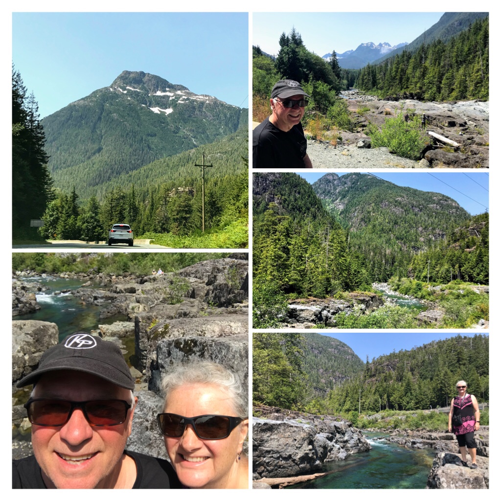
Wally Creek

Continue about 30 km from Sproat Lake and you will discover another natural treasure at the junction of Wally Creek and Kennedy River.

Check out the natural “Potholes“, climb boulders, or relax on the rocks adjacent to the creek.
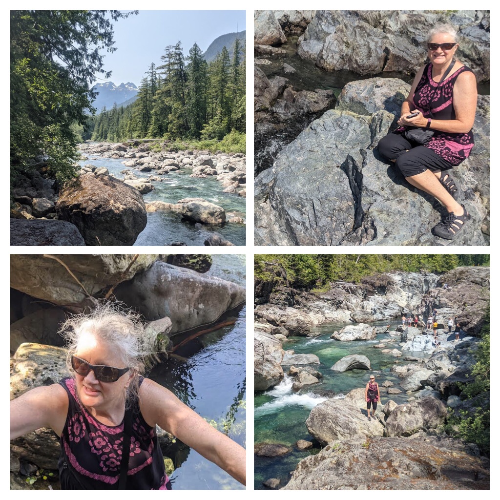
Wally Creek/ Kennedy River

This is such a fascinating area to explore and appreciate. Natural erosion at its most intricate, exposes crystal clear turquoise waters and orange, green veins of color within rock layers.

This pristine area needs to be appreciated and preserved. If visiting here, please be respectful of the area and take any trash with you when you depart.
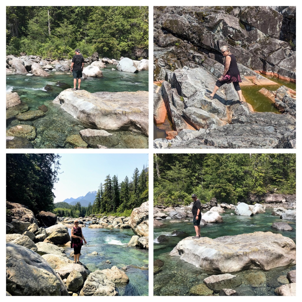
Climbing Boulders and Exploring

While my husband and I took a break from driving and explored this natural wonder, a friendly local also exploring the boulders with his family, questioned whether we were heading to Tofino. He informed us about the daily road closure between 11 am and 3 pm weekdays at Kennedy Hill due to major road construction! As it was after 11:30 am, we had missed the opening and now faced a road closure for another 3 + hours!

Lots of time to appreciate the beauty

We always check DriveBC.ca road status and conditions prior to any travel. But, for some unexplained reason, today we had not checked ahead! Murphy’s Law!

As we had several hours to wait, we delved into our picnic from the car cooler, then explored the boulders and rugged creek area.
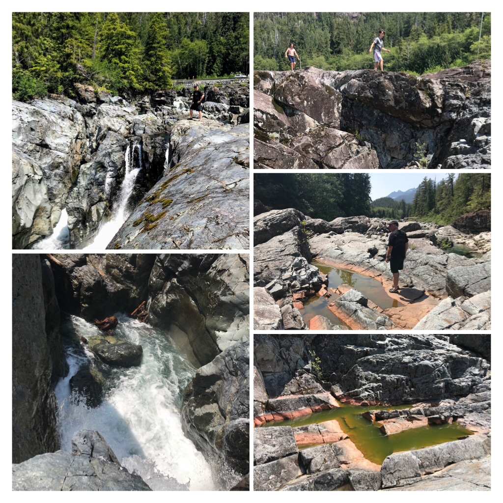
Amazing potholes from erosion and orange/green coloured formations

Cars continued to arrive as people joined us exploring Wally Creek, relaxing on the rocks, or swimming in the eroded “Potholes“. We wondered how many of these new arrivals were aware of the Kennedy Hill road closure?

At 2:30 p.m. we departed and drove to Kennedy Hill. We joined the incredibly lengthy line of vehicles waiting in the cue. There were “Black Bear in Area” warning signs posted.
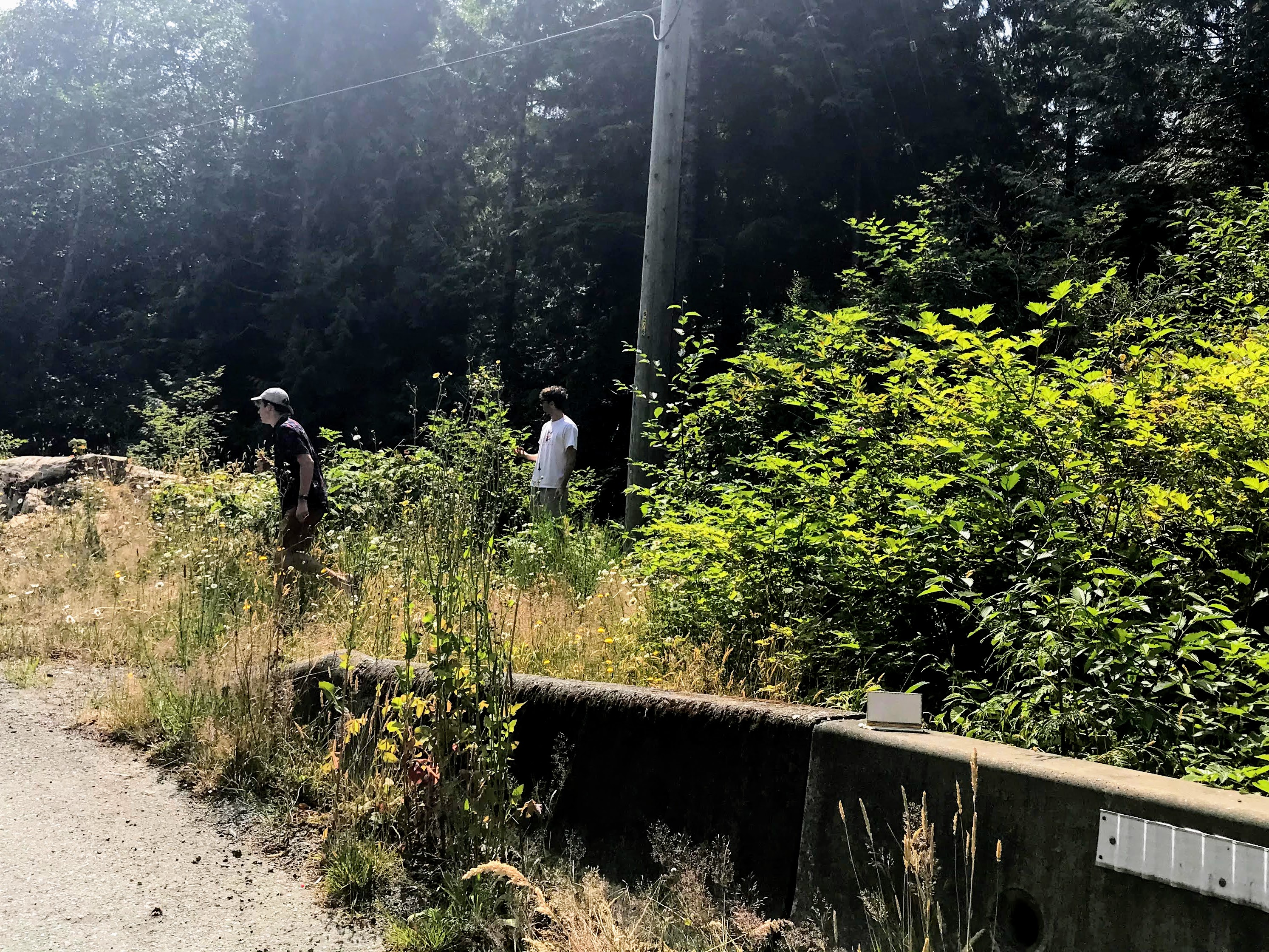
Picking Huckleberries and Thimbleberries while waiting at the Road Block.

Most people remained in their vehicles with windows down. But the heat, boredom, and enticement of huckleberries on the side of the road drew me outside. I started picking wild Huckleberries and some Thimbleberries. Before long, I had taught 3 young men from the car ahead of us about wild berries, and they were also having a berry feast.

The time passed, the road opened, and soon we were meandering through construction zone areas.

https://videopress.com/v/XZ08DdEm?resizeToParent=true&preloadContent=metadata
Video of Kennedy Hill Construction

It is a 14 km drive from Kennedy Hill to the Tofino-Ucluelet Highway 4 Junction. Before planning a trip to Tofino or Ucluelet check road conditions. Here is a useful link created by Tofino Tourism. https://tourismtofino.com/

Later than planned, at 4pm (and 19 degrees) we were finally enjoying the beautiful main street of Tofino. We observed tourists, decked in matching life jackets, returning rental kayaks and gear; while another group (possibly exiting a whale watching tour) chugging up the hill at Jamie’s Whaling Station.
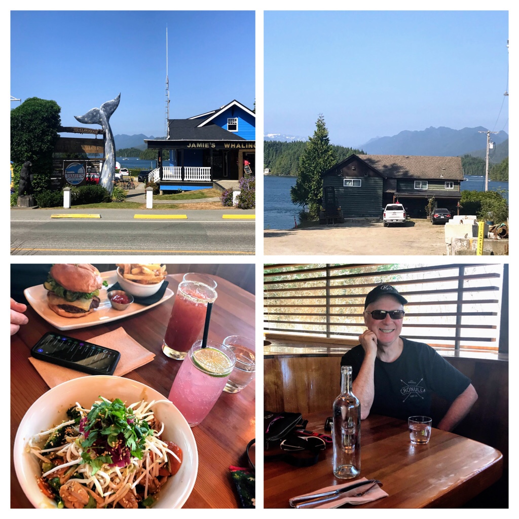
Tofino Campbell Street— Delicious late lunch at Shelter Restaurant

Directly across Campbell Street, we relaxed with beers and delicious meals at the popular Shelter Restaurant. My husband thoroughly enjoyed his burger and I was very impressed with the delectable gluten free Surf Bowl. This experience was so welcomed and appreciated after the unexpected, lengthy road closure. We will definitely return to Shelter Restaurant.

Finally, we were off to explore Tofino! During a previous trip here we visited with the famous Indigenous Artist, Roy Henry Vickers, at his Big House Gallery. We were lucky enough to catch Roy creating art and even listened to his story telling session. Later that evening while walking on Chesterman Beach we also caught Roy carrying his surf board emerging from the waves. I purchased his print entitled “The two of us” which is reflective of stunning Chesterman Beach.
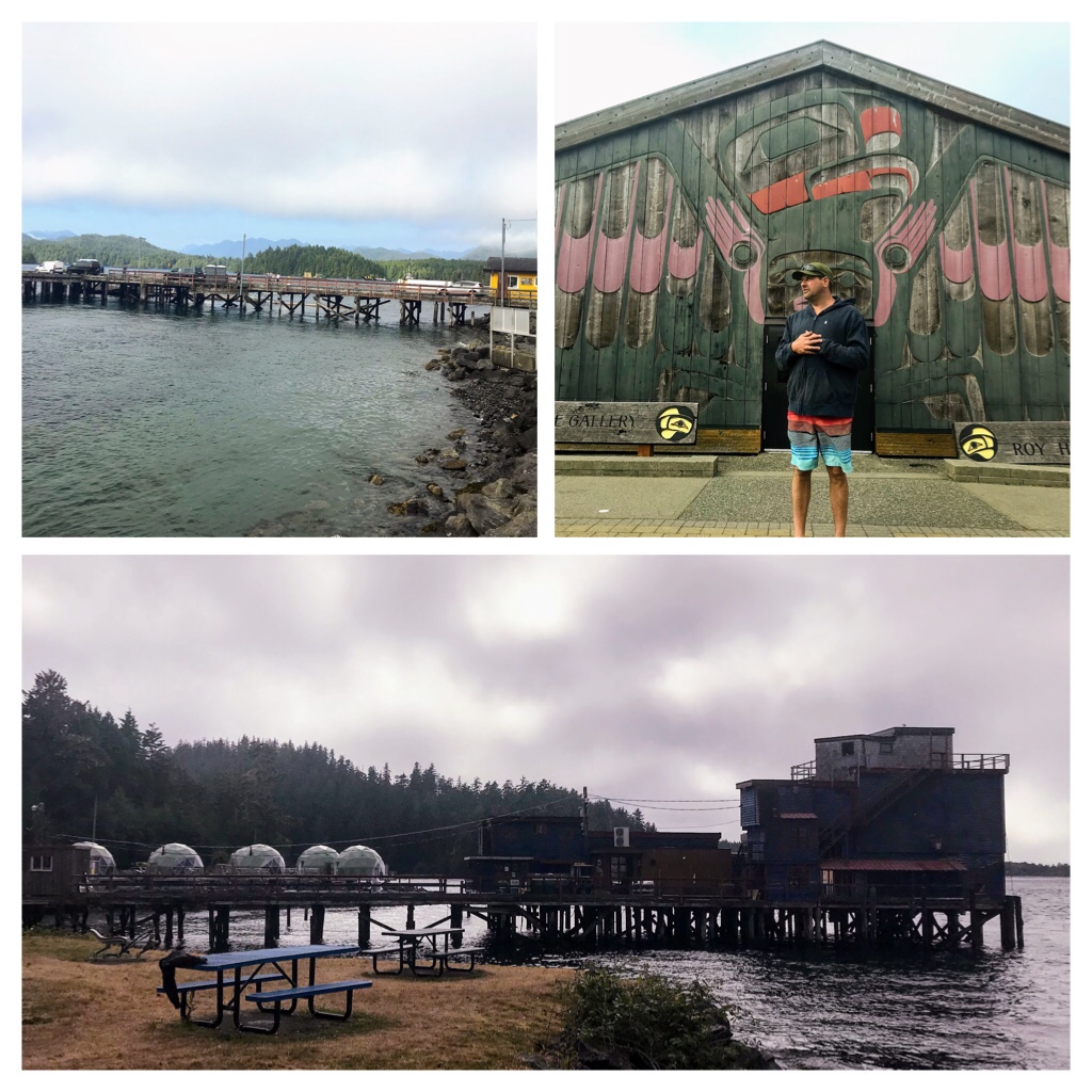
Roy Henry Vickers Gallery & Downtown Seaside Park area.

We were not successful sighting many kayakers at the downtown seaside park and Tofino Air location this afternoon.

We drove to Tonquin Beach for a little wander through local nature trails leading to one of the many beaches around Tofino.
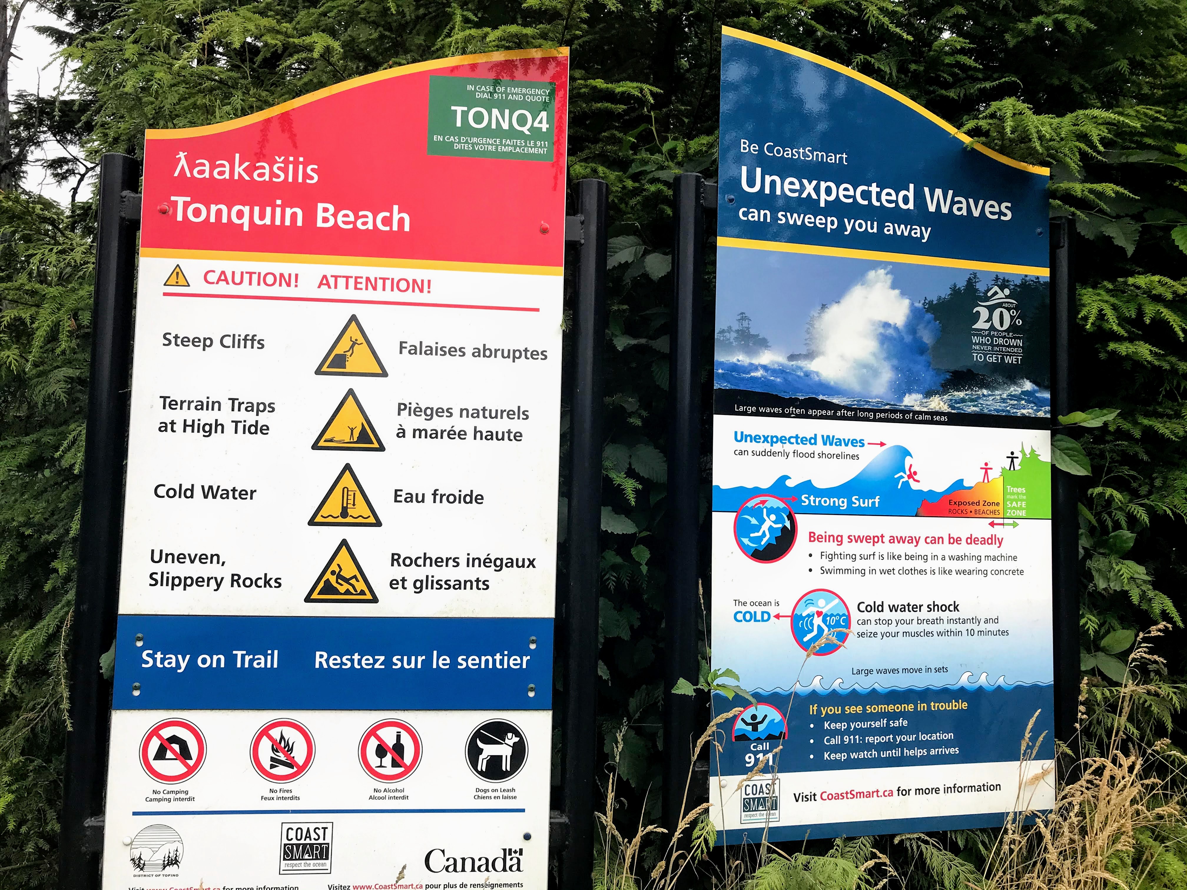
Tofino Weather/Ocean Warnings

Warning signs remind locals and visitors that waves can appear unexpectedly and the weather/ocean conditions are tumultuous in Tofino. Today was calm and both the trails and ocean were pristine and stunning.

Tonquin Beach trails

Tonquin beach is quite small, but very pretty and appears to be a bit sheltered.
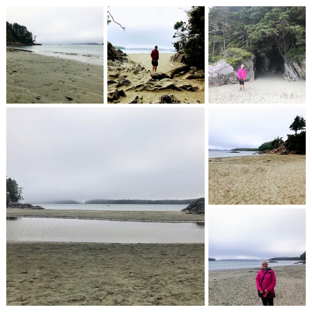
Tonquin Beach, Tofino

By 6:30 pm the sun had disappeared and the fog was rolling into Tofino. The temperature was dropping quite quickly and was now sitting at 16 degrees C. Tofino has many quirky shops and unique features. There were hundreds of shoes (mainly runners) draped over cable lines around a downtown skatepark.
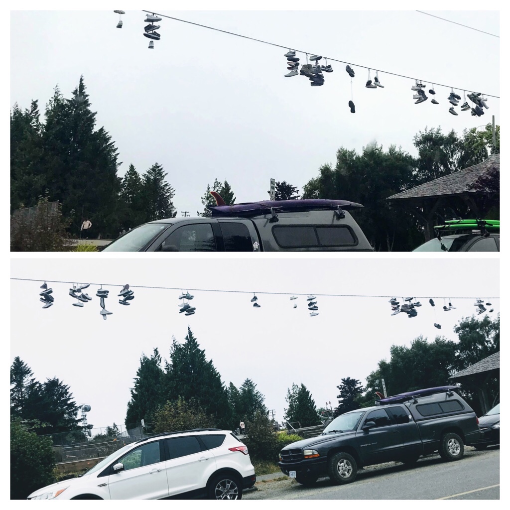
Tofino skateboard park decorations

After a quick tour around town, we decided to drive to Pacific Rim Park and walk along stunning Chesterman Beach. We noticed that Parking lots were emptying as surfers, in full neoprene suits, loaded their surf boards on their vehicles and departed for the day. Two of the favorite cold water surf beaches in this area are Cox Bay and Chesterman Beach.
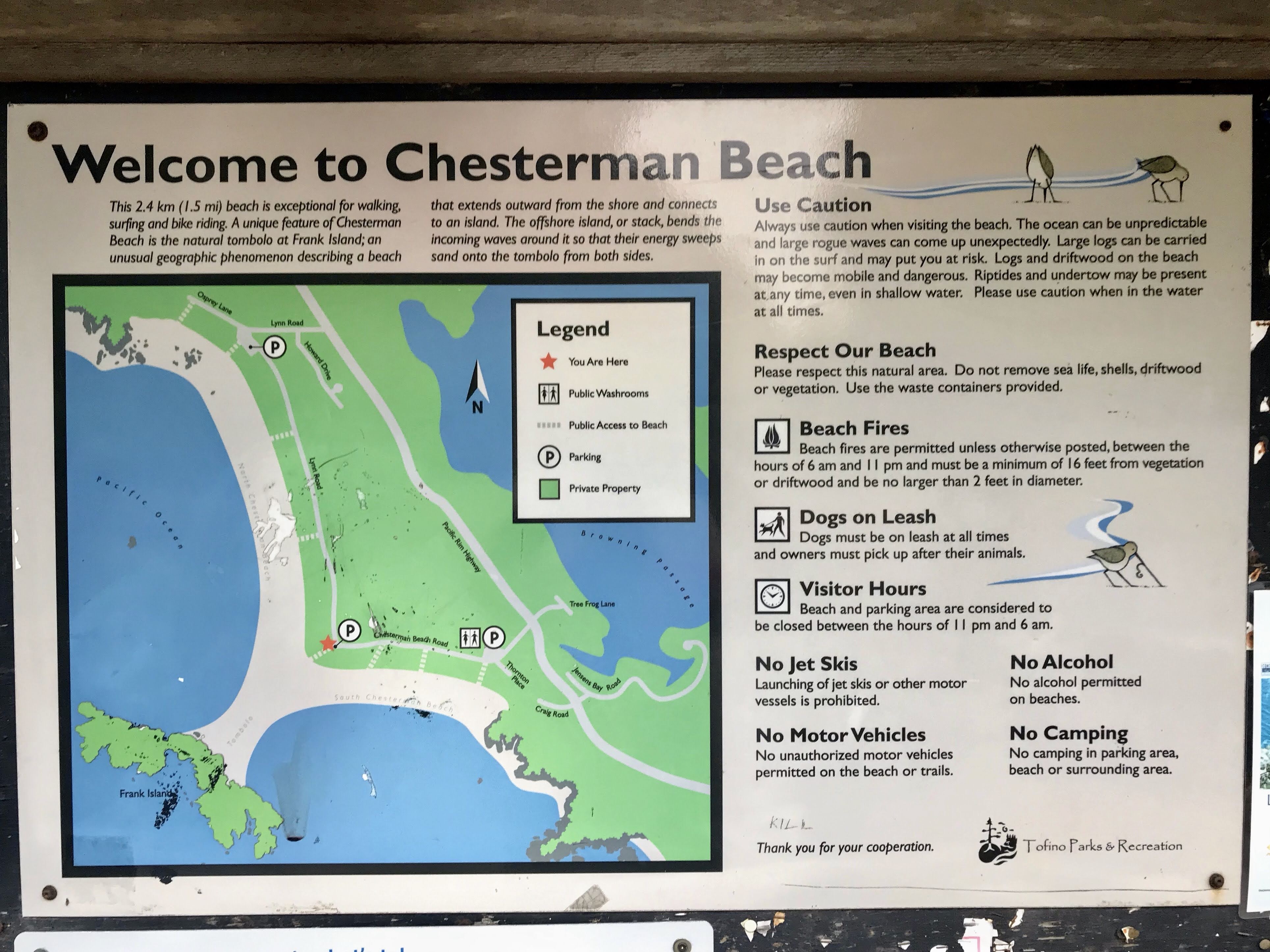
Map and Rules for Chesterman Beach, Tofino

I found the enthusiasm of the surfers a bit surprising as huge signs lit up messages near the beach trails indicating the water temperature was “Very Cold”. Hmmm? What does this mean?

After researching, I discovered that the ocean water temperature at Tofino does not rise above 20 degrees Celsius. Apparently in winter the average water temperature in Tofino hits about 8 degrees C, while in summer the average temperature is about 13 degrees C. Brrr…. Those are dedicated cold water surfers!
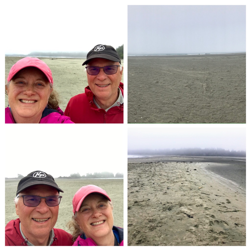
Foggy Chesterman Beach

By 7 p.m. we had arrived at Chesterman Beach. The fog had really rolled in making the trees and landscapes quite mystical and eerie. In addition, the winds had increased and the gusts were getting powerful.
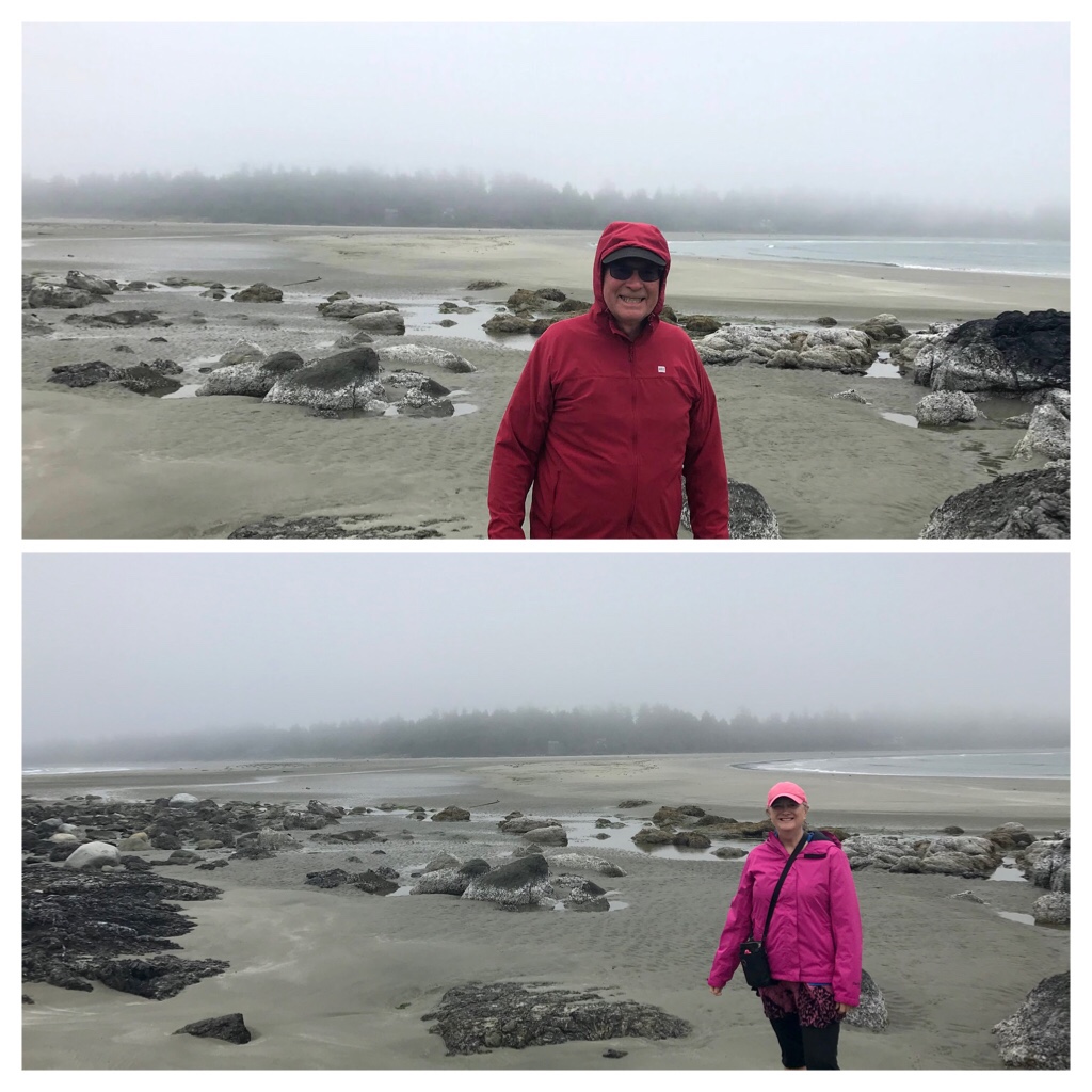
Fog and Gusty Winds at Chesterman

We walked toward Frank Island along the tombolo which is a sandy isthmus connecting Frank Island to Chesterman beaches during low tides.
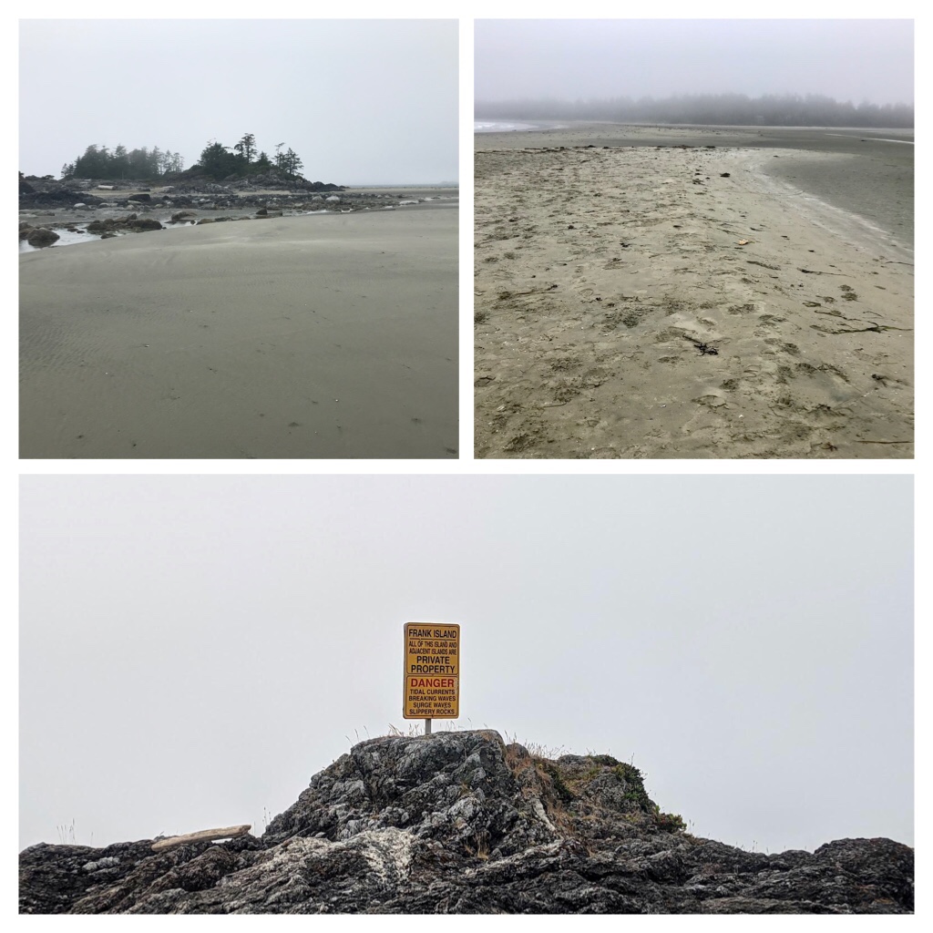
Frank Island No Trespassing—located between the 2 beaches at Chesterman

We battled the winds as we observed a handful of keen surfers still playing in the frigid waves. Without toques and warm weather clothing, we were unprepared for this. When we departed from Nanaimo this morning it was 28 degrees. When we started the vehicle, it was a balmy 13.5 degrees C in Tofino.
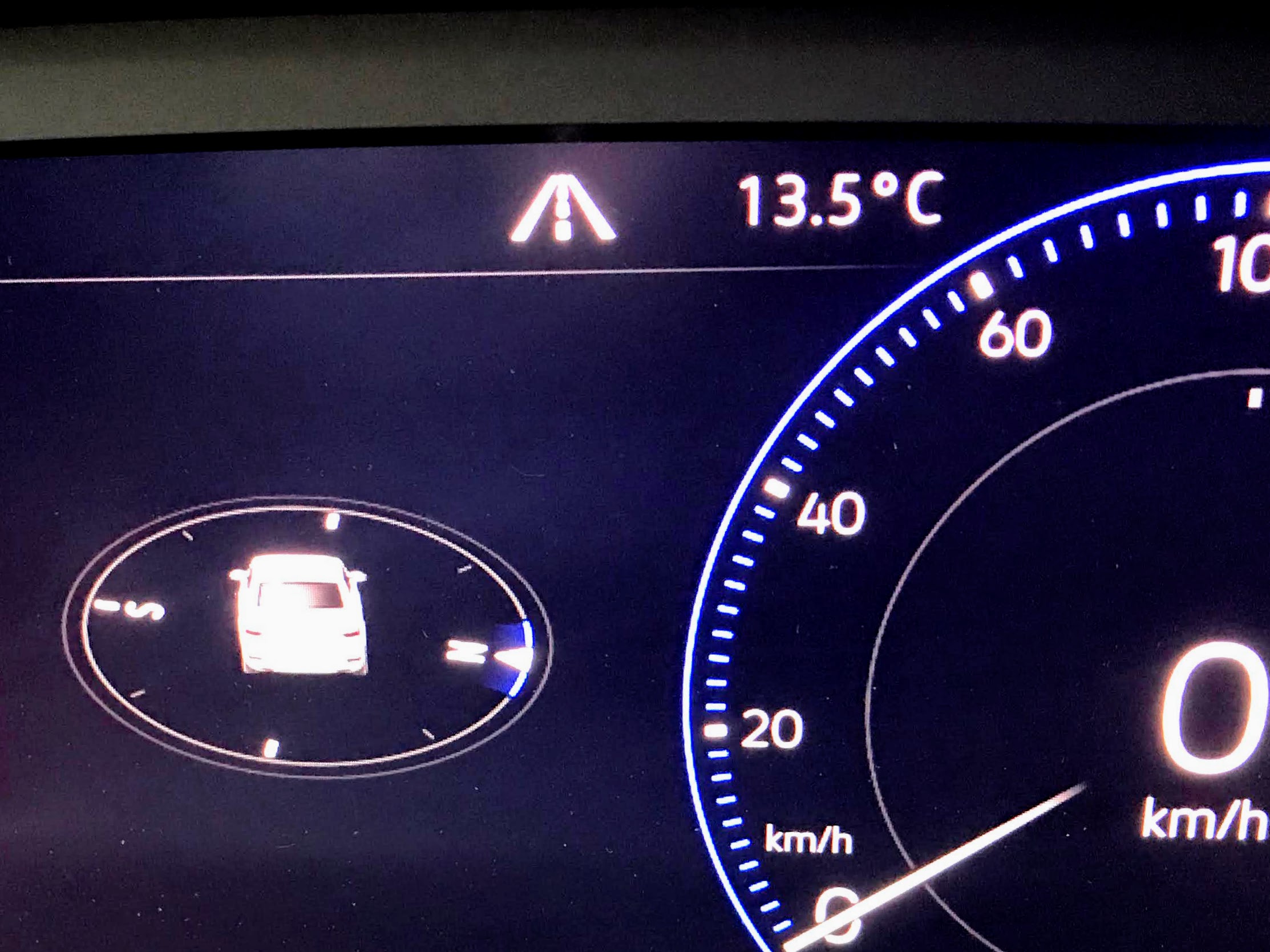
13.5 degrees Celsius. We actually turned on the heat for the first time in months!

Our goals of having an adventure and locating cool temperatures were achieved.

It was time to commence the 3 hour trip home to Nanaimo. Hopefully there would be no construction hold ups during the homeward trip.
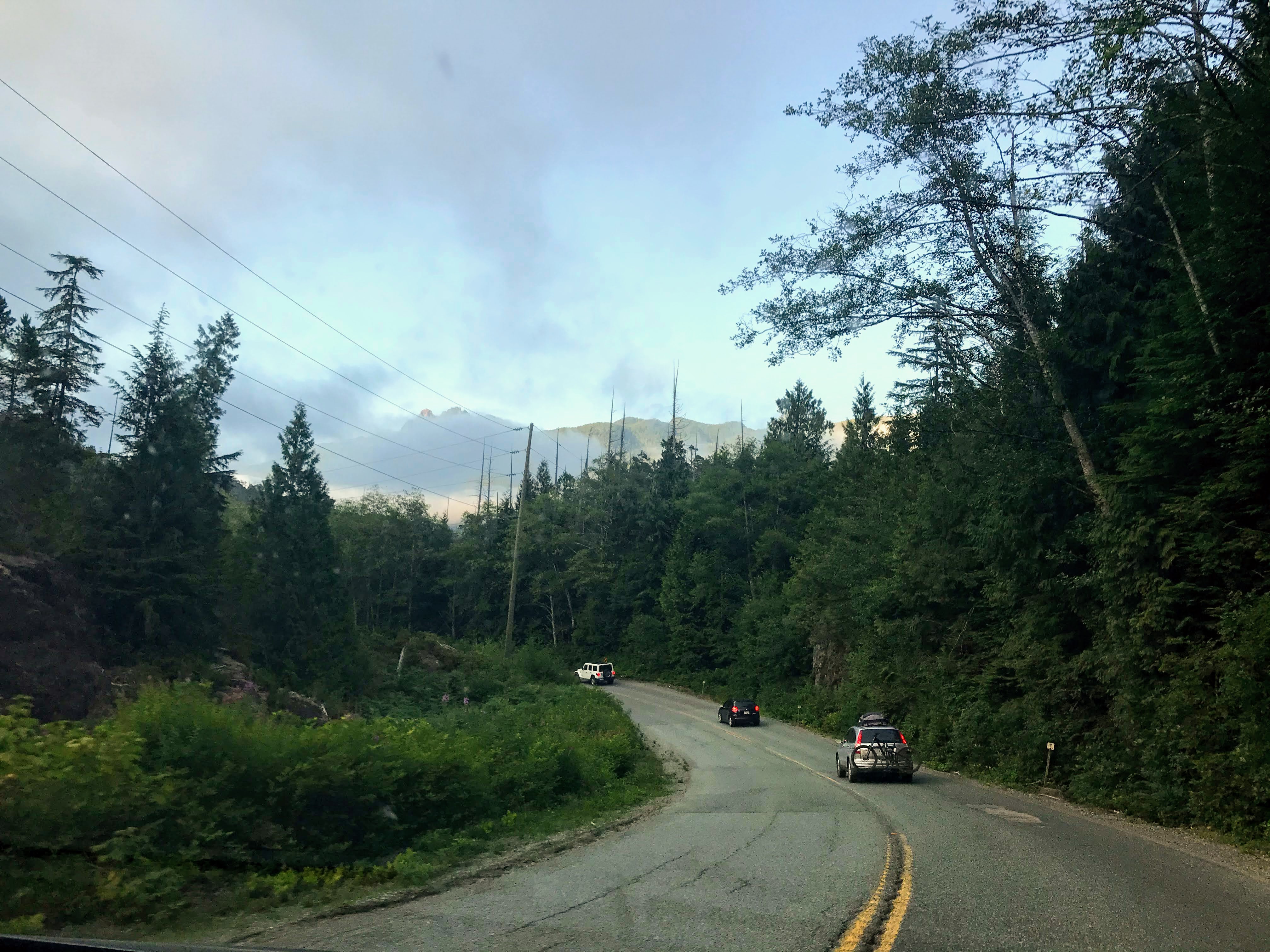
On the road again…Homeward bound

What did we learn? Always check the weather forecast and road conditions prior to any trip. Be grateful for new experiences.

Keep safe and have fun my friends. The next blog post will be about the B.C. Ferry trip up the Inside Passage from Port Hardy to Prince Rupert.
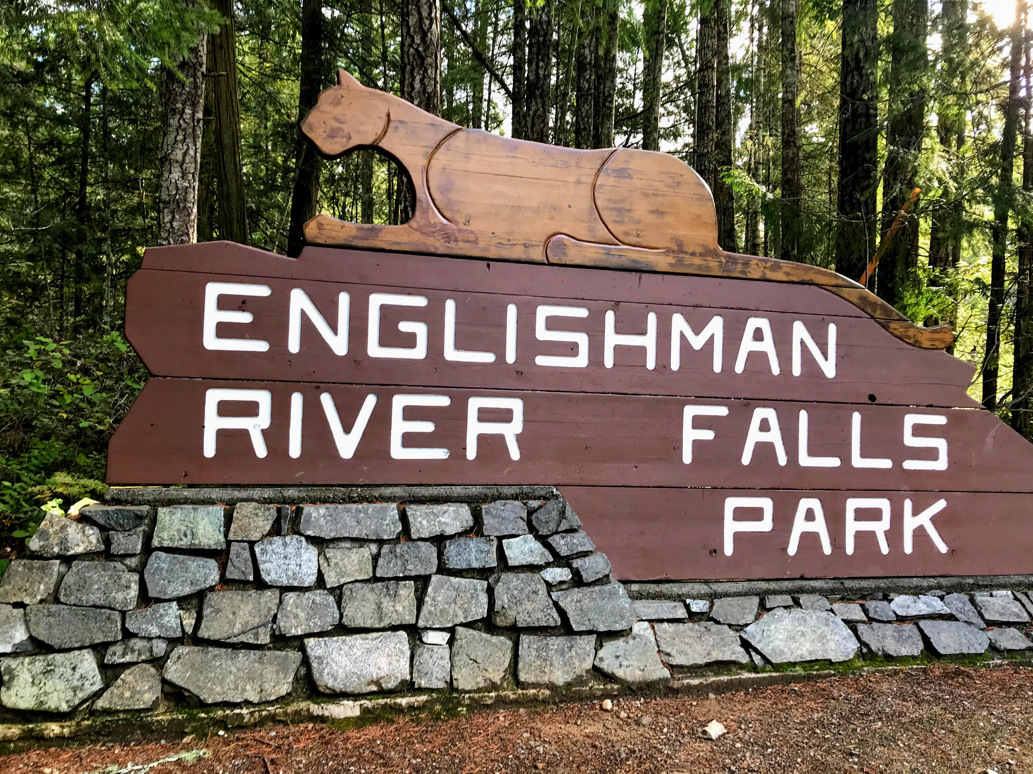
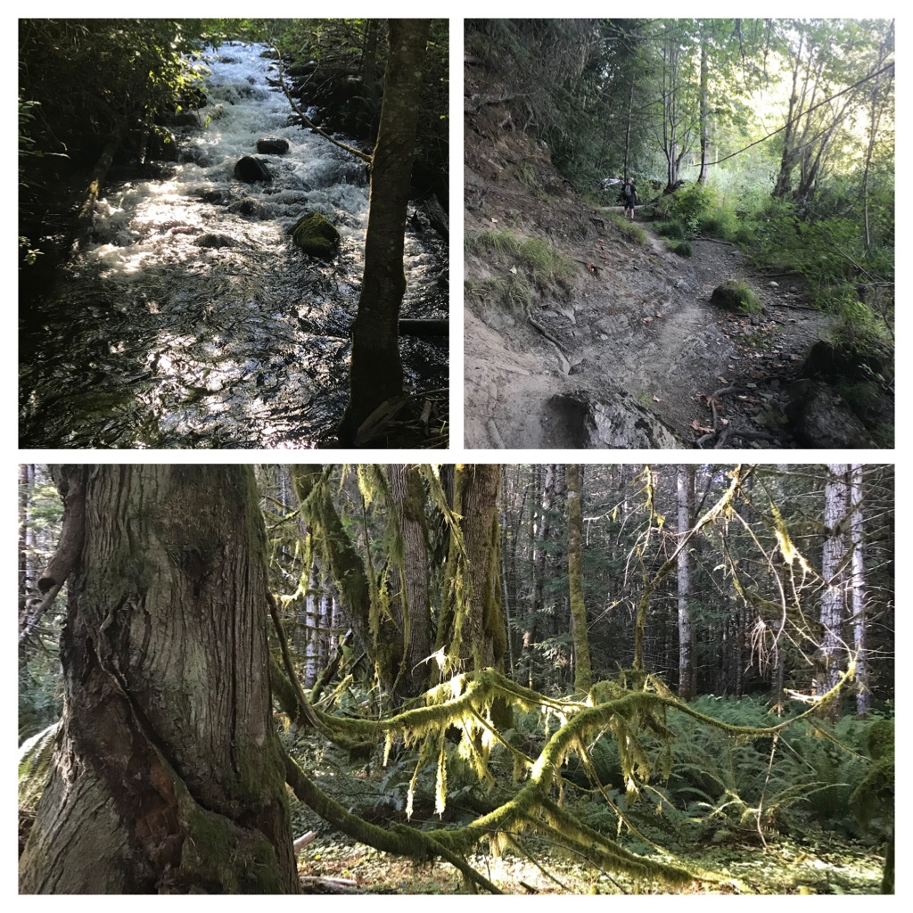
Categories
Adventure Englishman River Falls Exploring Vancouver Island Hiking trails Travel

Mystical Englishman River Falls Trail

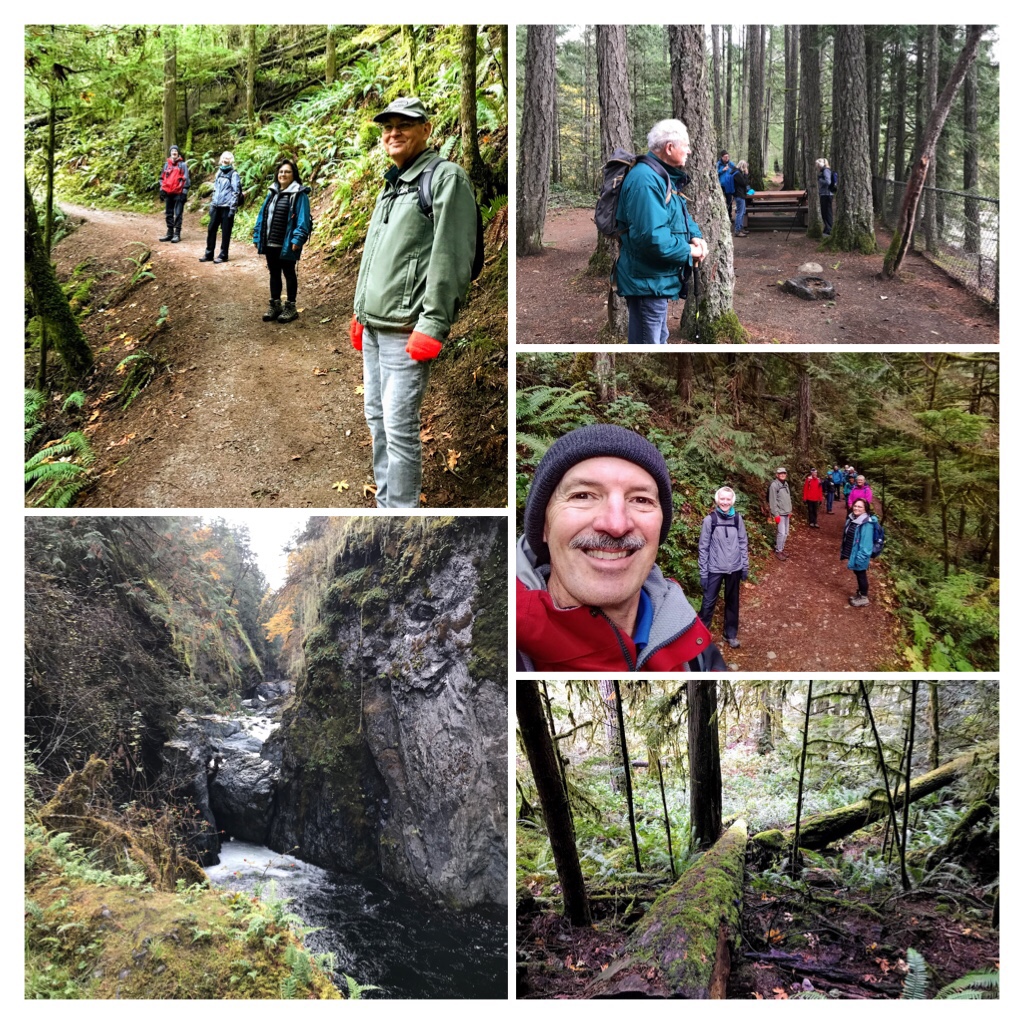
If you enjoy fresh air, exercise, and experiencing nature through lush Vancouver Island rainforest adjacent to rivers and waterfalls, then Englishman River Falls Park is a mystical place to explore.

Central Vancouver Island–Between Nanaimo and Parksville.

The British Columbia Provincial Park even offers seasonal camping and the trails are utilized for hiking, running, biking, and nature exploration. Check the BC Parks website for updates about any trail closures or campfire bans.

Englishman River Falls Trails

Englishman River is located 35 km northwest of Nanaimo or 13 km southwest of Parksville. It takes about 30 minutes to drive to the park and conservation area from Nanaimo.

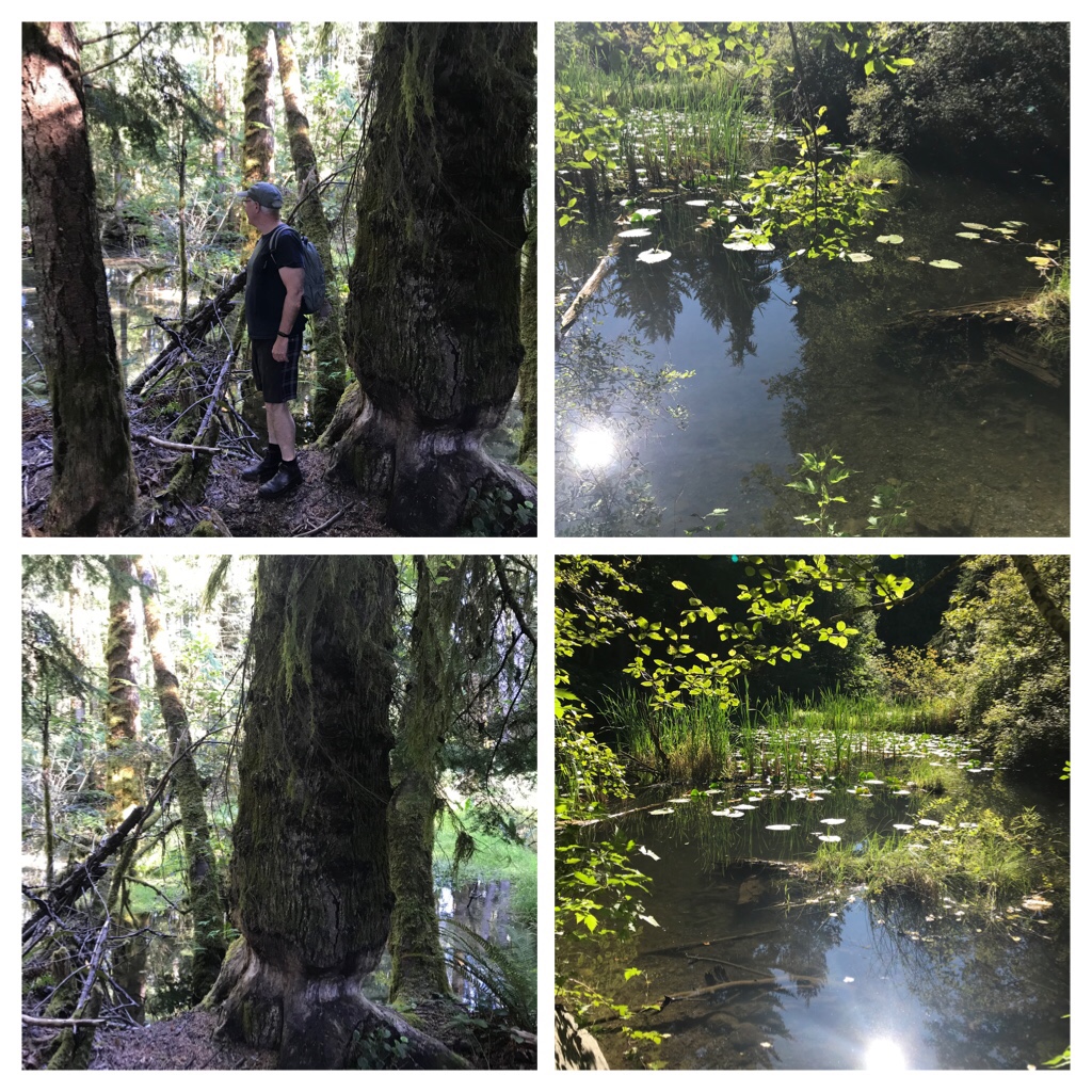
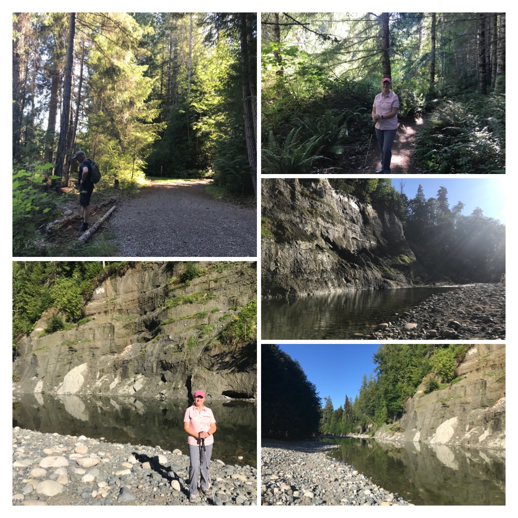
It’s a Tranquil hike on a hot day during summer!

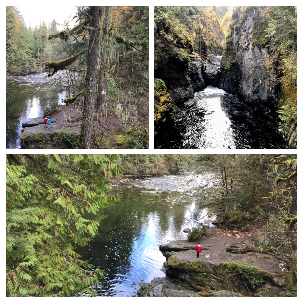
The main trail is a 1.3 kilometer loop with a minimal elevation gain of only 52 meters mainly adjacent to the meandering river.

Englishman River Falls Trail during summer

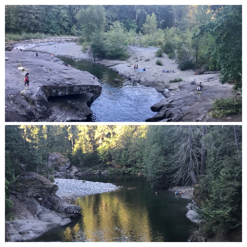
There is a suspension bridge which overlooks a popular swimming area.

Cooling off in the river during summer.

Many additional trails, of varying levels of difficulty, are fun to explore too. The previous photos were taken during the summer month of August.

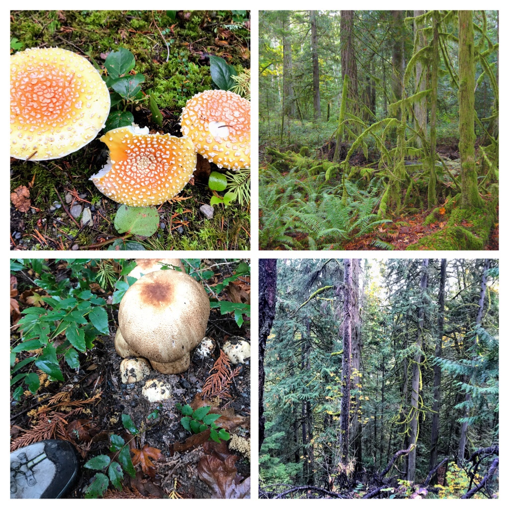
Englishman River Falls Trail in mid October.

The following photos illustrate the richness in green growth, increased levels of water, and presence of mushrooms and fungi during autumn (October) on the Englishman River Falls trails.

Autumn hiking on Vancouver Island

In addition to hikers, people walking leashed dogs, and trail bike enthusiasts, you may even encounter the odd horse and rider traversing the outer, less used trails.

Gorgeous trails. Hikers practicing physical distancing safety protocols during Covid.

The Vancouver Island rainforest is abundant with vegetation and bird species. Watch for old growth and second growth evergreens interspersed in the forests of the park lands.

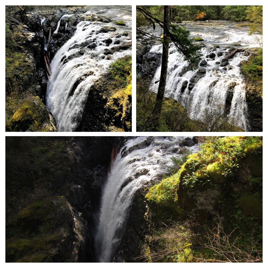
Lush Englishman River Falls

Englishman River waterfalls flow with the greatest volume and vigor after rainy seasons. However, this is also the season when trails can experience windfall (trees and branches down) and water erosion on the trails.

Englishman River waterfall mid October 2020

An excellent source of practical information when considering hiking on Vancouver Island is available from AllTrails app. https://www.alltrails.com/trail/canada/british-columbia/englishman-river-falls

I will return to hike along Englishman River Falls trails. However, the next blog posts will highlight some of the other amazing locations to hike or kayak around Vancouver Island.

Keep Safe and Enjoy Life. Cheers.

Categories
Adventure Exploring Outdoors Exploring Vancouver Island Seaside trails

Nature Fun in Sunny Nanaimo!

August 2021

We are so thankful to reside on gorgeous Vancouver Island, Canada. During Covid 19 lockdowns non-essential travel was not permitted to our amazing island paradise. As our province currently has over 82% of all residents aged 12 + with at least 1 dose of covid vaccine and over 60% of all people in B.C. fully vaccinated against Covid 19, restrictions are carefully being lifted and travel has resumed once again.

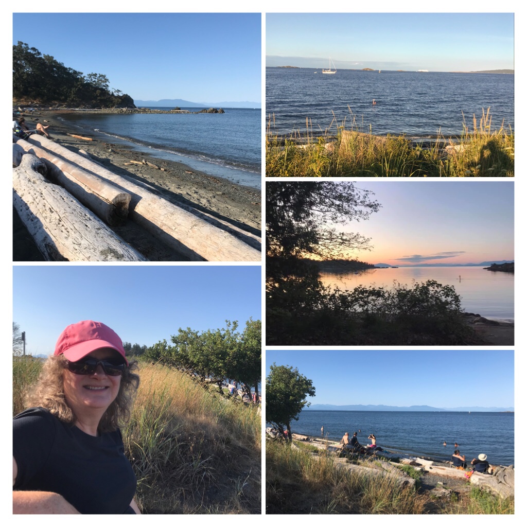
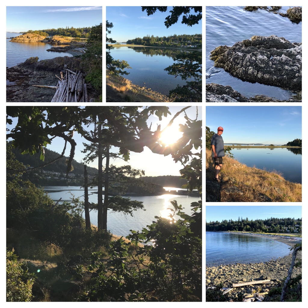
Pipers Lagoon is fun during the day and gorgeous during sunset time.

This blog post shares a few fun ways to explore nature and relax around the Nanaimo area. Piper’s lagoon area with its long spit and choices of swimming in the lagoon or the Pacific Ocean is always a favorite of ours. Whether you are swimming, relaxing, climbing rocks, checking out the trails, or embracing nature and recreation water activities this location has it all!

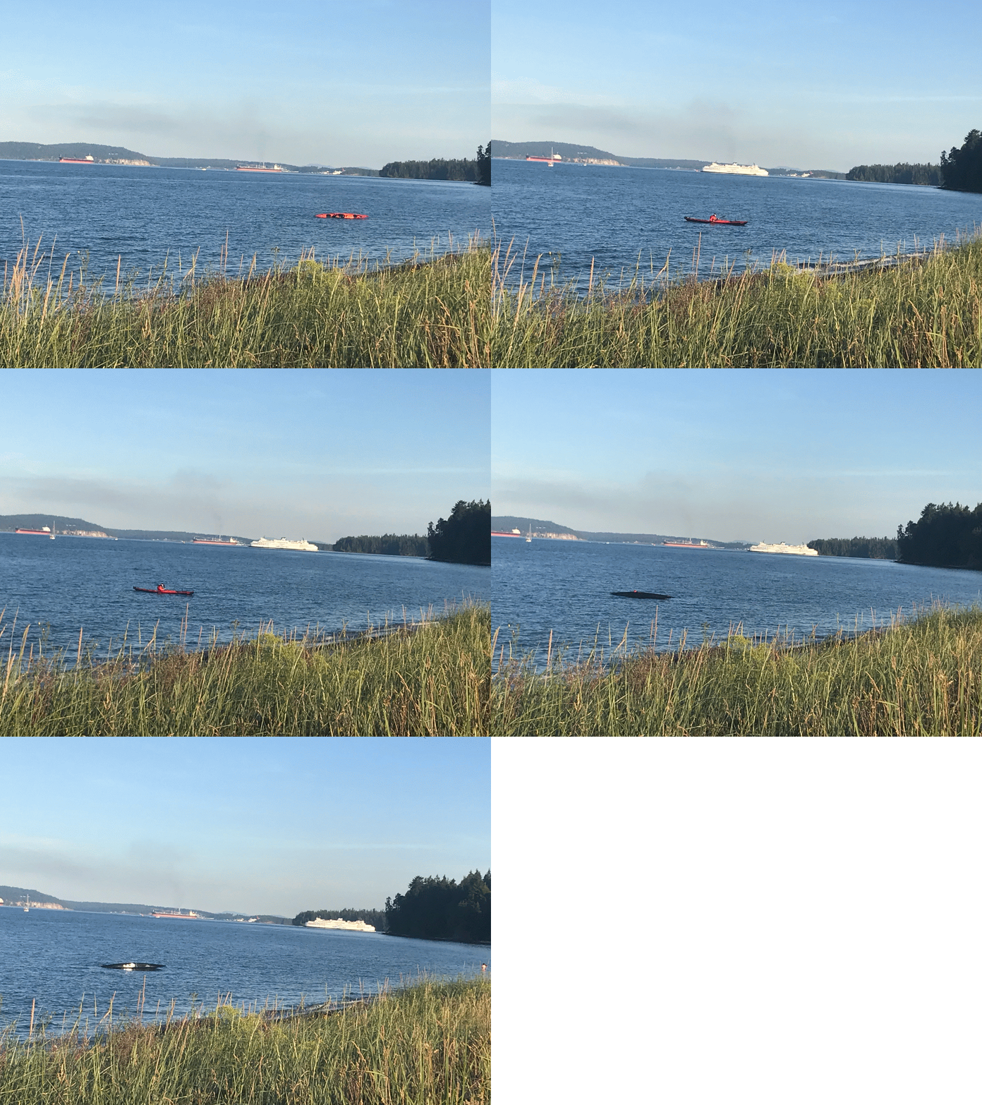
Practicing safe kayak rolls while the BC ferries pass in the background!

The Pacific ocean surrounds Vancouver Island and is our highway to connect Vancouver Island with the mainland of western Canada. There are 200 Gulf Islands located in the Strait of Georgia between Vancouver Island and the B.C. mainland. Water vessels are common sights from kayaks and SUPs, to sailboats and pleasure crafts, or ferries and freighters.

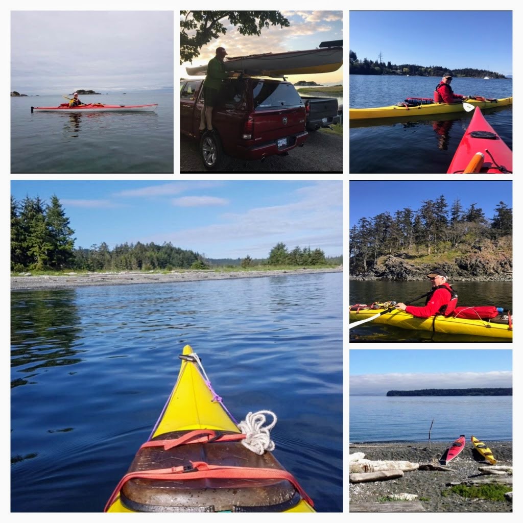
There are so many beautiful sights when Kayaking around Vancouver Island

If interested in exploring the nearby Gulf Islands, here is a great website to check out. https://www.hellobc.com/places-to-go/gulf-islands/

During the heat waves and sunny summer days, the refreshing Pacific Ocean is a popular location for swimming, kayaking, and playing in the refreshing salt water.

More photos of beautiful Pipers lagoon

Sometimes curious river otters or harbor seals entertain or pop up nearby in the ocean to visit. When the Herring or Pilcher fish are running you can also see sealions and sometimes a magnificent whale, or a small pod, make appearances.

If you prefer a busier, more urban seaside location then downtown Nanaimo’s Maffeo Sutton park area might be more suited to your taste. There are lovely flat walking areas along the seawall and around the park to the marina area.

Maffeo Sutton park in Nanaimo

Music and Art events occur on a regular basis throughout the summer. The Dragon Boating competitions are held in this location. You can also locate the small walk-on ferry transport vessel which commutes between downtown Nanaimo and Newcastle (Saysutshun) Island and Marine Provincial Park. Another tiny commuter ferry departs from the marina area to the famous floating restaurant Dingy Dock Pub on Protection Island.

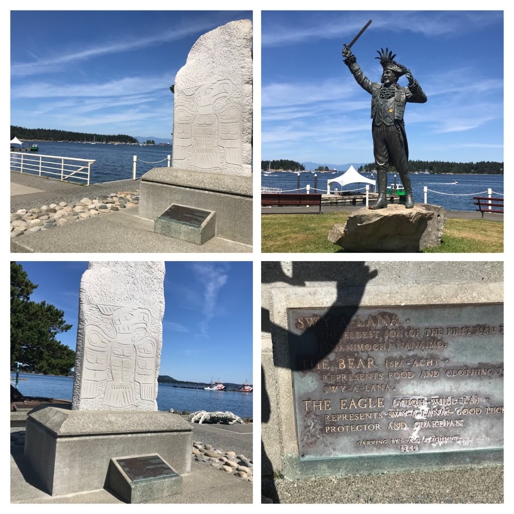
Maffeo Sutton Park sculptures and history.

The park embraces the Arts and there are dozens of interesting sculptures and statues reflecting historical figures and events scattered throughout the grounds.

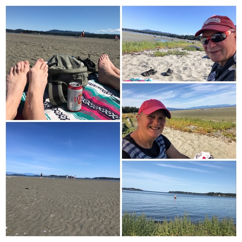
For the sand loving individuals, there are several sandy beaches located just beyond the Nanaimo area. One option is to drive 34 km to Parksville and relax on Rathtrevor beach. Check the tide schedule as low tide requires a lengthy walk to the edge of the ocean!

Rathtrevor Beach in Parksville.

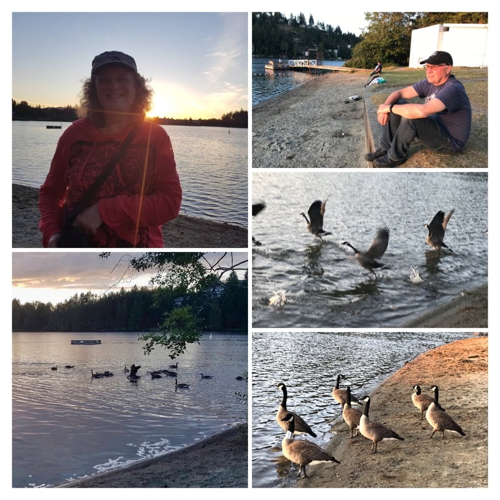
If you prefer to swim and relax on a fresh water lake, there are many options for this too! Long Lake is popular for water sports, swimming, and picnics. Motorized vessels (Sea-Doos, water skiing) must keep to the middle of the lake. Non motorized vessels (kayaks, SUP, big floats stay around the outside of the lake. The Nanaimo Rowing Club has their clubhouse here so it is also common to see rowers practicing. There is a swimming zone by the beach/picnic location.

Relaxing at Long Lake, Nanaimo

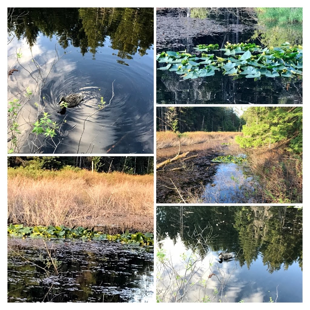
For people who prefer more shade and trails through woods or marsh areas, there are extensive opportunities to explore this type of habitat too. One example is the marsh and pond around Oliver Woods park.

Oliver Woods pond and marsh area, Nanaimo

Multiple species of ducks and birdlife can be viewed here as well as amphibians, wild berries, wildflowers, and occasionally a beaver is visible.

Abundant floral displays mainly wild….

My goal was to expose a taste of a few of the beautiful and diverse locations around my home of Nanaimo. In future blog posts I will concentrate on specific hikes or nature explorations in our rainforest or oceans of Vancouver Island.

Meanwhile, I conclude this blog post with another option for relaxation. Let me suggest… reading a wonderful book from a hammock under majestic 120 Foot + evergreen trees.

Cheers! Have a wonderful day!

Stay safe everybody. Cheers from Nanaimo, Canada.

Categories
Adventure Exploring Outdoors Exploring Vancouver Island Hiking trails Seaside trails

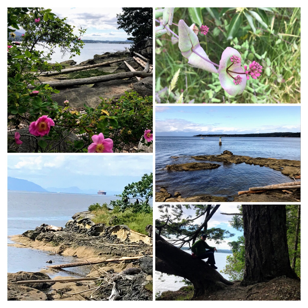
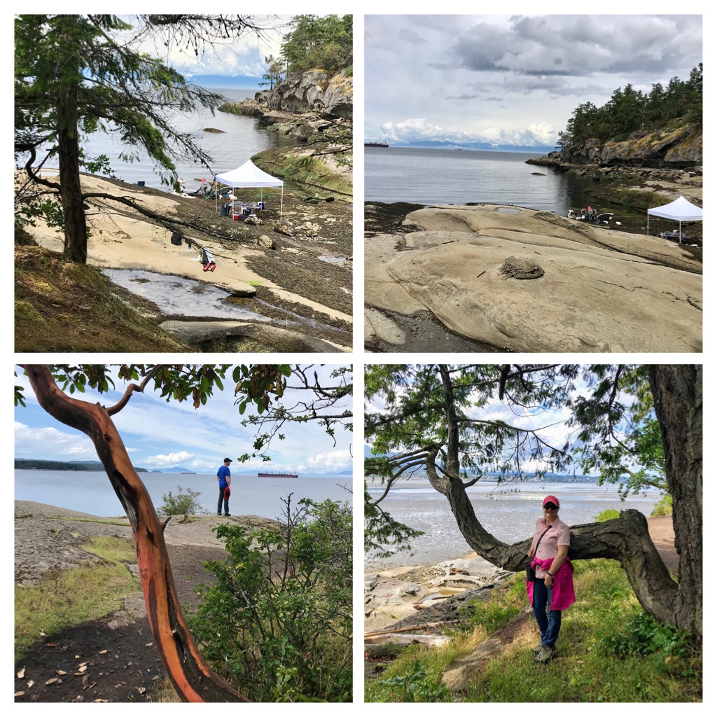
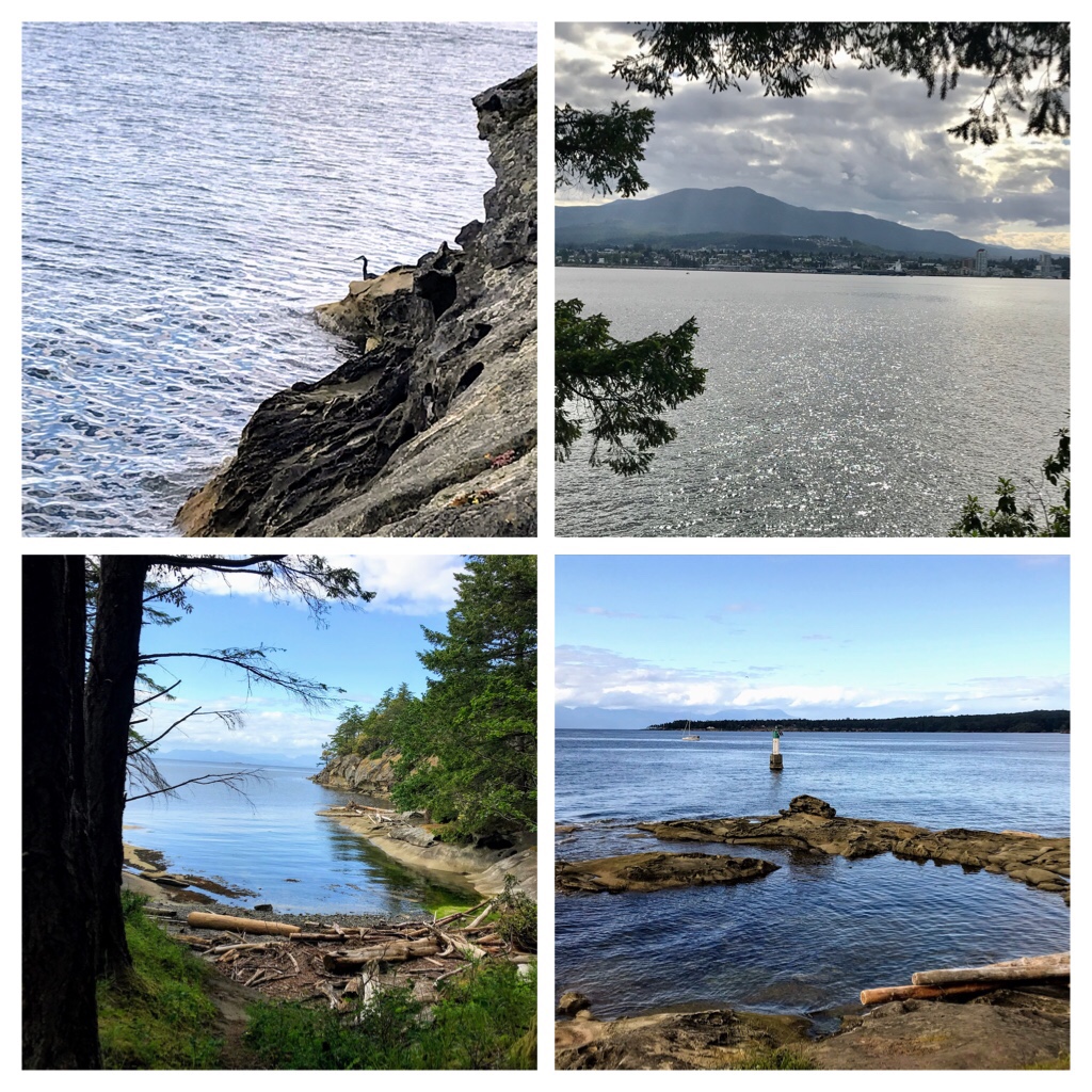
Seaside Trails. Jack Point/ Biggs Park in Nanaimo, Vancouver Island.

Vancouver Island located off the western coast of British Columbia, Canada is a delight to explore. Today’s blog post shares another gorgeous seaside trail around Nanaimo. In keeping with the emphasis on nature and outdoors, I have added some cheery flowering plants found during June around Nanaimo as an extra bonus in this post.

Jack Point Trail in June

The B.C. Ferries arrive multiple times every day from Vancouver area to dock at one of 3 major terminals on Vancouver Island. The major terminals are Swartz Bay (Victoria), or Departure Bay, or Duke Point (both in the Nanaimo area).

Today’s seaside hiking trail runs along one side of Duke Point. Biggs Point is the name of the 32 acre park which leads to Jack Point. Jack Point is a 5.1 km seaside trail. The elevation gain is only 65 m and the first section along the river is wheelchair accessible.

Scientists were busy studying ocean samples

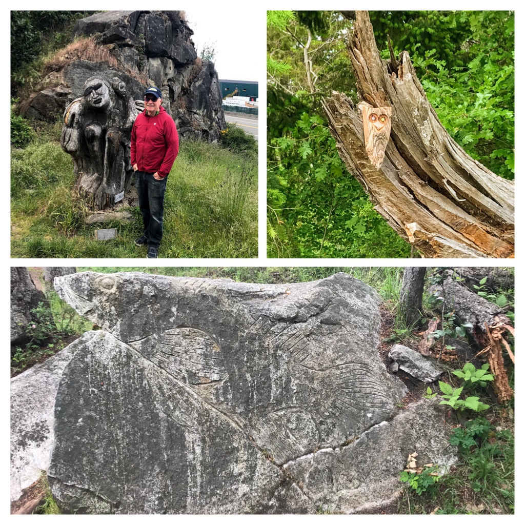
The trail is quite easy and used for walking, light hiking, and trail running year round. Keep your eyes open for interesting art and sculptures.

Jack Point Trail

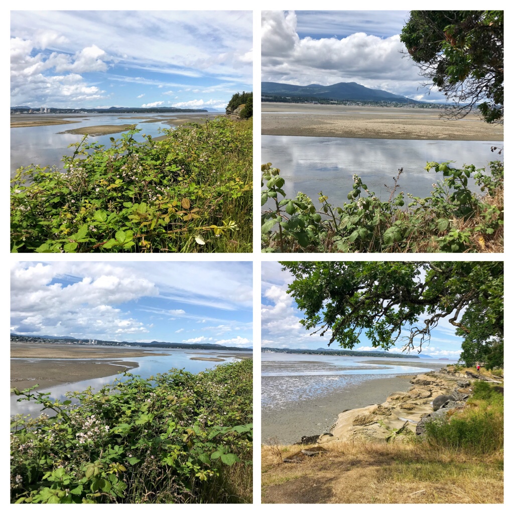
Beautiful views of Nanaimo River estuary, downtown Nanaimo, Protection Island, and Gabriola Island can be observed from the trail. Freighters, sailboats, and pleasure craft are common sights.

Nanaimo River estuary

During our previous two hikes at this location, there were over a dozen Great Blue Herons feeding in the initial estuary area in addition to a variety of birds: ducks, shorebirds, cormorants, songbirds, eagles. In spite of all the birdlife, there are still quite a few insects in sections, so arrive prepared.

As you approach Jack Point you will discover wooden stairs and boardwalks over the bluffs. The rock erosion is quite interesting and the bluffs provide wildlife viewing opportunities.

Jack Point… This is where the Humpback whales were active

Bald eagles, sea-lions, seals, and harbour porpoises like to frequent this area. Humpback whales were even sighted breeching in this area recently!

After reaching the Jack Point lookout area (look for the marker in the ocean), you return by retracing your route along the trail through the beautiful trees and along the edge of the ocean which eventually turns into the estuary trail. Watch for the Great Blue Herons feeding at the rock bluffs and in the estuary.

Beautiful Nanaimo seaside trail at Jack Point

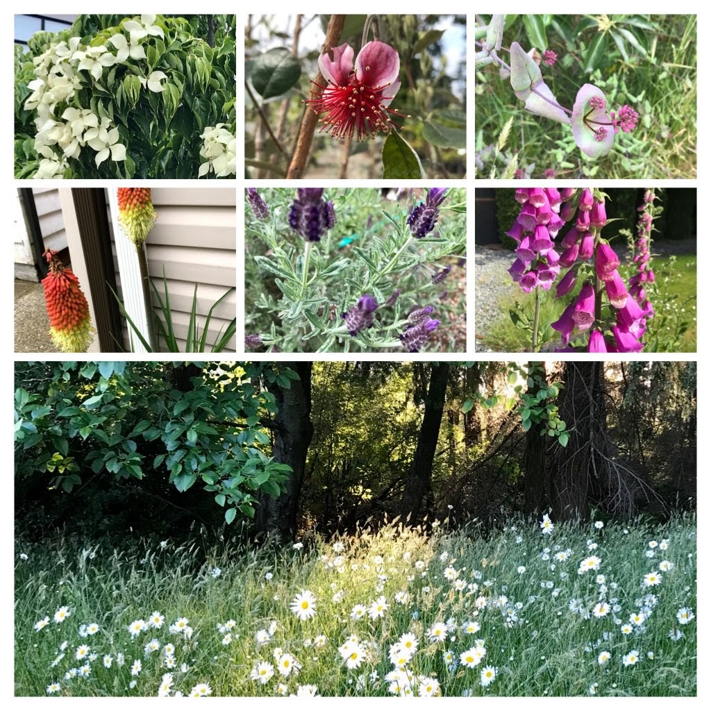
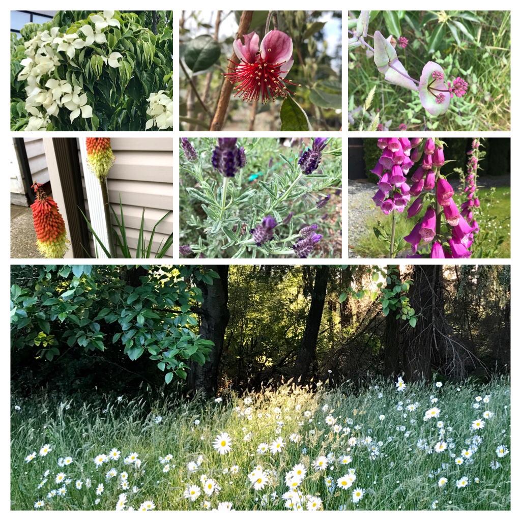
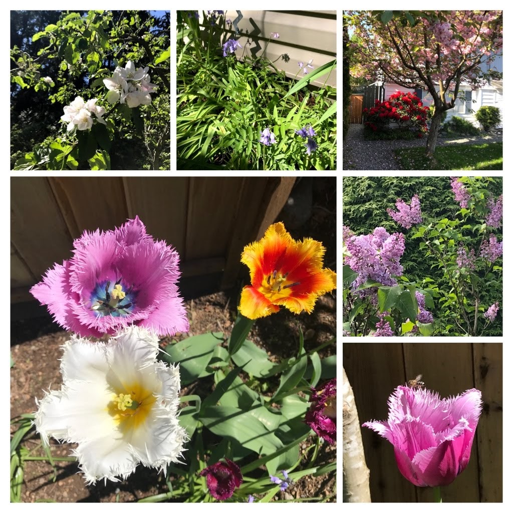
Bonus….As promised, here is a collage of a few of the diverse and beautiful flowers you could see while exploring the Nanaimo area on Vancouver Island during June.

A selection of a few flowers found in June in Nanaimo.

Keep positive my friends…The world is carefully returning to the new “normal”. My next blog posts will be sharing more outdoor exploration around Vancouver Island.

Categories
Adventure Exploring Outdoors Exploring Vancouver Island Pacific Ocean Seashore

Beach Exploration around Northern Vancouver Island

One of the many advantages of living on beautiful Vancouver Island, B.C. Canada, is its endless and diverse selection of beaches. Vancouver Island is the largest island on the West Coast of North America stretching about 460 km long and 50-120 km in width. The Pacific Ocean surrounds us creating endless sandy and rocky beaches. Some are famous and well known internationally–Rathrevor Beach and Long Beach (Pacific Rim National Park).

Evening at Rathtrevor Beach

However, there are a multitude of other stunning, less known beaches if you are ready to explore our Island. This blog post will present a few other beach options at Port Hardy and Campbell River at Northern Vancouver Island.

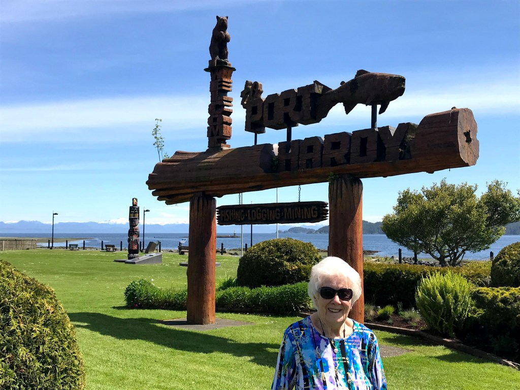
Commencing in my home town of Port Hardy located on the northern end of Vancouver Island.

If you plan to depart on B.C. Ferries heading north to Bella Bella (and area) or Prince Rupert you will be departing from the Port Hardy Bear Cove terminal. There is also a small airport. Port Hardy is the gateway to outdoor adventures: like kayaking, scuba diving, God’s Pocket Marine Provincial Park, fishing, whale watching, exploring First Nations culture, exploring the beaches, caving, or hiking to Cape Scott or the North Coast trail.
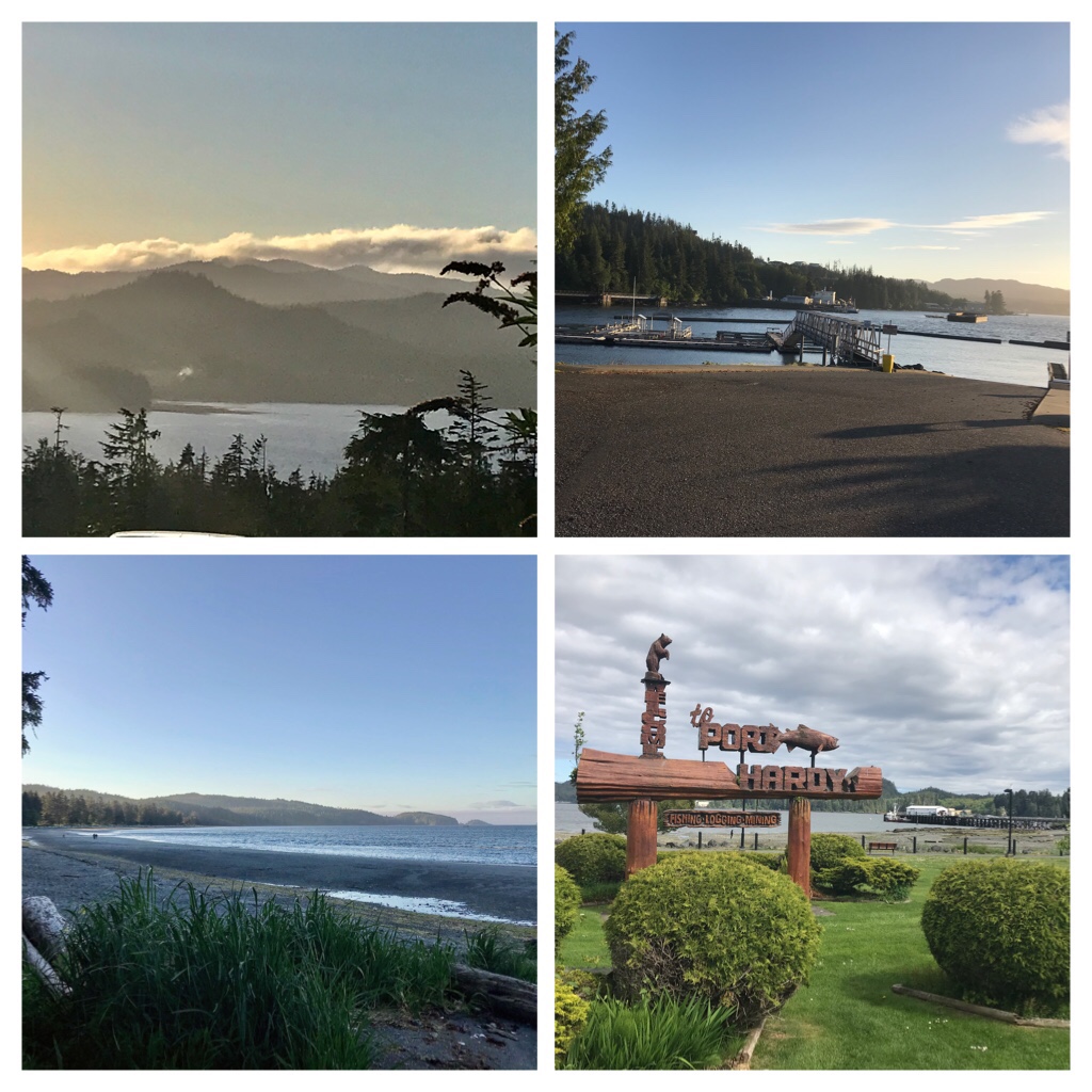
There is much to see and explore in Port Hardy and the small communities on the northern tip of Vancouver Island. This informative website is packed with ideas and nature information. https://www.visitporthardy.com/

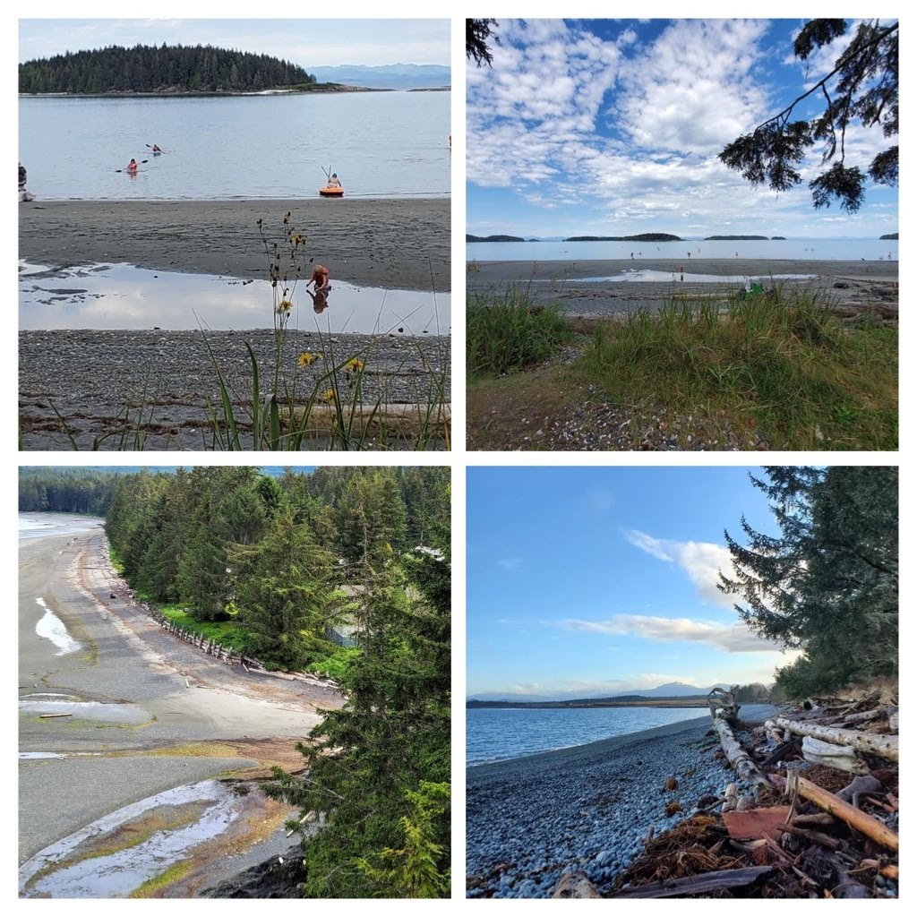
If you prefer sandy beaches; kayaking around the nearby islands; and possibly seeing sea mammals (Seals, Sea lions, Pacific white sided Dolphins, Dall’s Porpoise, Humpback whales, or Orca whales then Storey’s Beach is an amazing place to experience.

Photo Credit to my friend, Dana Rufus, for these lovely photos of Storey’s Beach.

Storey’s Beach and the Tex Lyon trail hike are also favorite locations for north island locals.

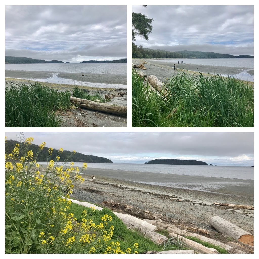
Mid tide…During low tide the sand extends far out into the bay.

If you prefer Rocky shorelines abundant with fascinating sea life and beautiful views of mountains and down town activities, then the Port Hardy sea walk and beacon area is where you should explore.

Exploring Hardy rocky beach area… May

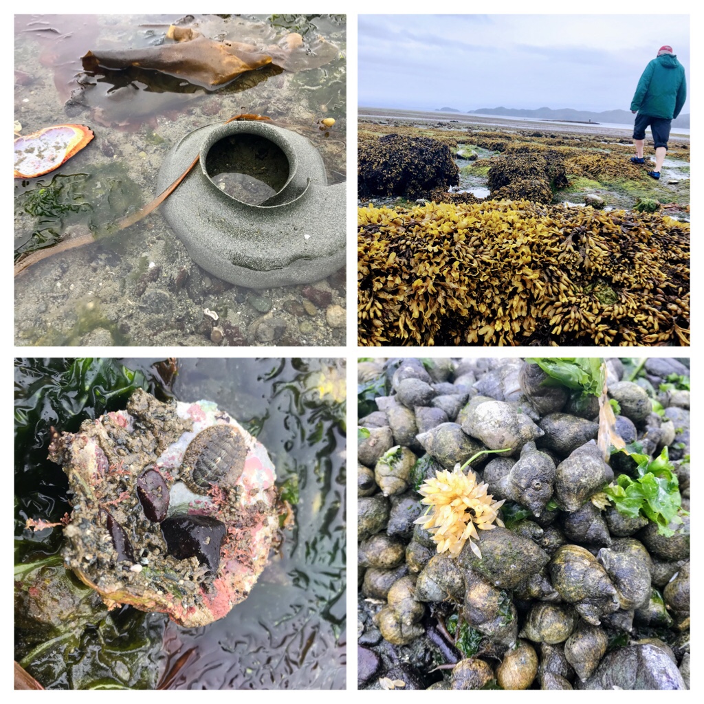
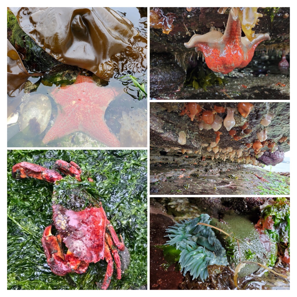
There is an abundance of sea life around Port Hardy … from Moon Snail collars (egg casings), rock weed and tidal pools, chitons, shells, and whelk snail eggs. These are only a few of the fascinating things you could discover.

Check the tide schedules… this was a low tide in May.

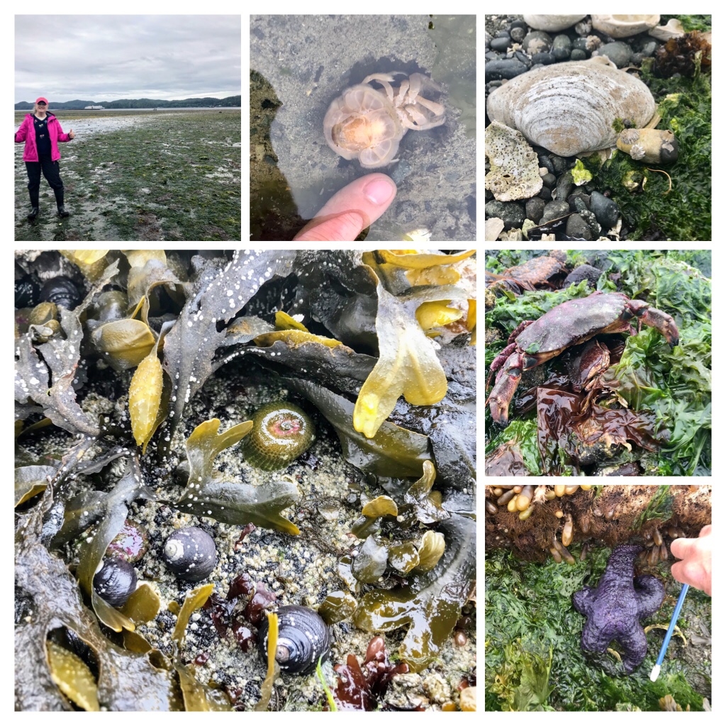
If you are lucky enough to discover a zero low tide, don’t miss the opportunity to explore! We discovered ghost shrimp, shells, barnacles, crabs, sea stars, sea anemones, whelks, limpets, and so much more.

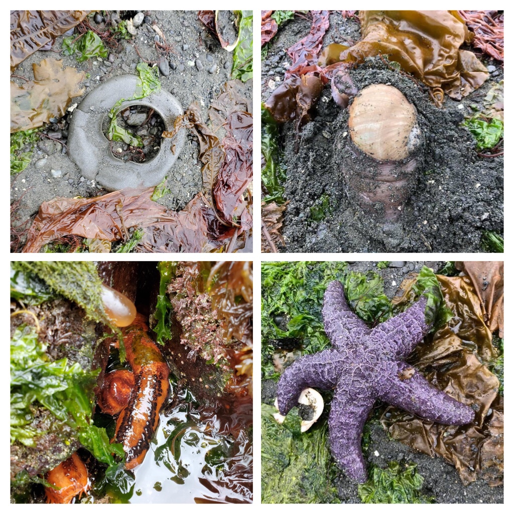
Moon snail collars and moon snails, sea cucumbers, sea stars. Photos by Dana Rufus.

If you are ambitious and hit the lowest tides of the year… you can cross from the sand spit over to the beacon. We just missed the opportunity this year, as the tide was not quite low enough and we could not quite pass from the spit to the beacon. The ocean water was over our boot level.

The sea life species are incredible at the beacon. These photos were taken by my friend Dana Rufus who managed to hit the lowest tide and cross to the beacon for a limited time. Thanks Dana

Sea life at the beacon in Port Hardy. Photos by Dana Rufus.

Bat stars, bull kelp, sea squirts, crabs, sea anemones… even gumboot chitons can be discovered there! For decades I took my students across to the beacon on the zero tide each year. It truly is a remarkable experience!

One last look view of some of the scenic areas around my home town Port Hardy, as tomorrow we head southeast down Vancouver island.

Beach views around Port Hardy, BC in May

Taking highway 19 down island from Port Hardy to Campbell River takes about 2 1/2 hours (230 km). The trip can be quite challenging in rainy, foggy winter weather; but glorious and majestic otherwise.

Fuel up prior to departure as there are only fuel stations in Port McNeill, Woss, and Sayward during the trip. Watch for nature and wild animals–particularly in May–as bears are often more visible eating fresh grass.

Highway 19 between Port McNeill and Sayward

Campbell River is a lovely community with great fishing, and lots of beautiful walking trails. Instead of heading south on the inland highway, try the old highway which follows the ocean.

To get acquainted with some of the tourist options available in Campbell River, check out the informative website. https://www.campbellriver.travel/

We love stopping at Foggdukkers Coffee stop on the Campbell River Seawalk at Simms Creek. It is a favorite location for locals and a funky fun place to take a break and enjoy some great coffee!

Foggdukkers Coffee Stop at Campbell River

Another favorite location in Campbell River, is the Baikie Island Nature Preserve and Campbell River Estuary. It is a beautiful location to walk or kayak and peacefully while enjoying the sounds and antics of ducks and birdlife. Float planes land periodically and Tyee boat history is displayed. Seals and even the odd beaver can be viewed here too.

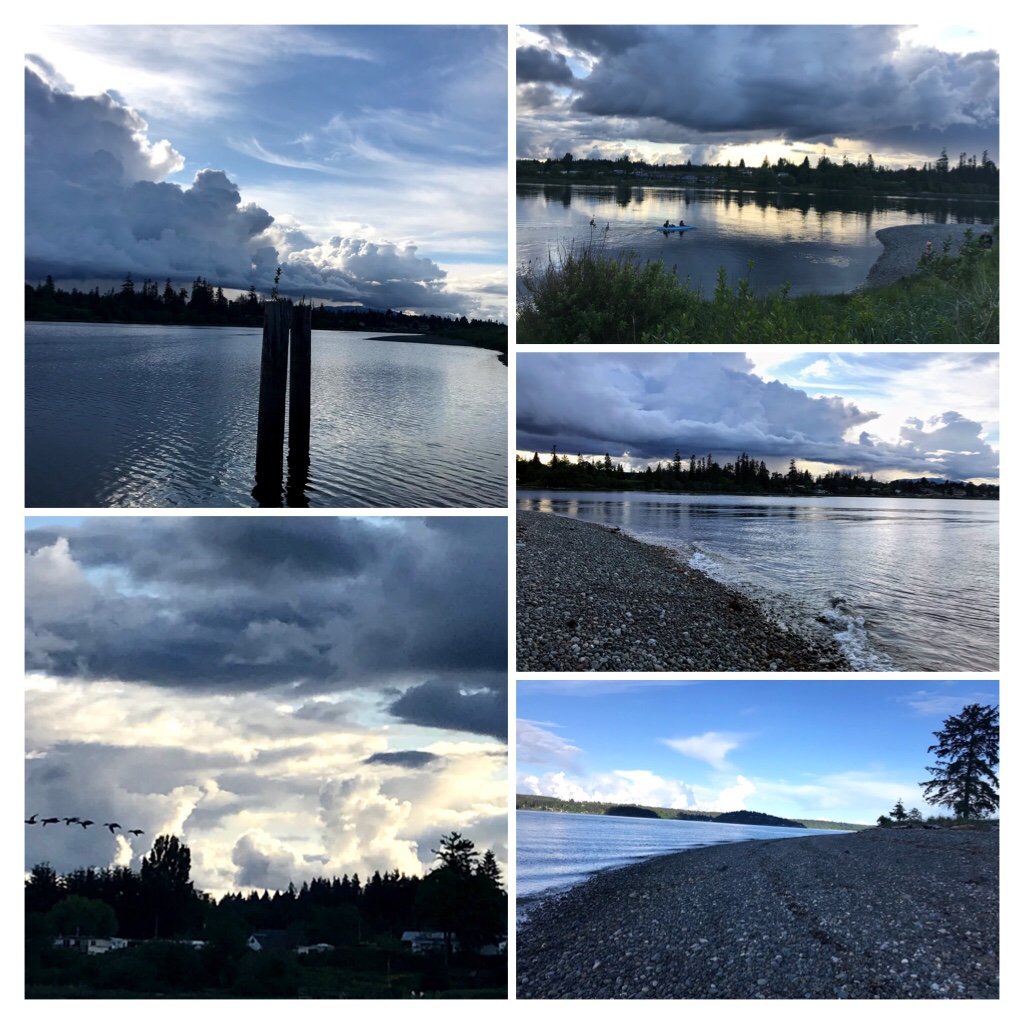
Campbell River Estuary in the evening —May

There are so many pristine beaches and wilderness options to explore on Vancouver Island. In this blog post I shared a few less travelled locations which truly are stunning.

My next blog posts will cover Sophia’s 1st year (our rescue kitten), and more gorgeous areas for nature walks/hikes/kayaking adventures around Vancouver Island.

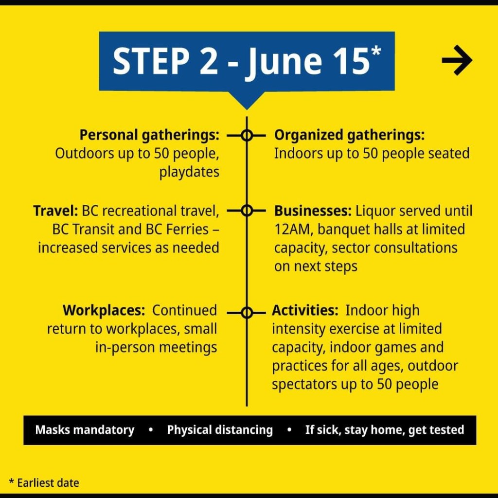
Our province of British Columbia just moved into Stage 2 of B.C.’s Restart Plan after Covid. The future looks so optimistic!

Categories
Adventure Cats Exploring Outdoors Exploring Vancouver Island Pacific Ocean

Beaches, Blossoms, Being with Family

Despite Covid health regulations and restrictions enforcing citizens to remain in their health regions of British Columbia, Canada; the beauty of Spring blossoms, sunshine, and diverse nature opportunities from hiking to beach walking around beautiful Vancouver Island brought daily smiles and optimism.

Vibrant May blossoms around our home

Our neighborhood is surrounded by an abundance of huge evergreen trees particularly Cedar and Douglas Fir interspersed with Arbutus and a smattering of other varieties including: Spruce, Pine, and Dogwood. The trees vary in height, but many stand 60–120 feet tall! Bird songs and calls are constant entertainment and wild deer and rabbits visit regularly.

We adore nature and embrace the beauty and sounds around us. But…As the trees increase in stature, our views decrease. So…When we hear chainsaws and see Tree Falling companies arriving to remove an unsafe tree, the people in the neighborhood come out to witness the event!

Removal of an unsafe tree in our neighbors yard.

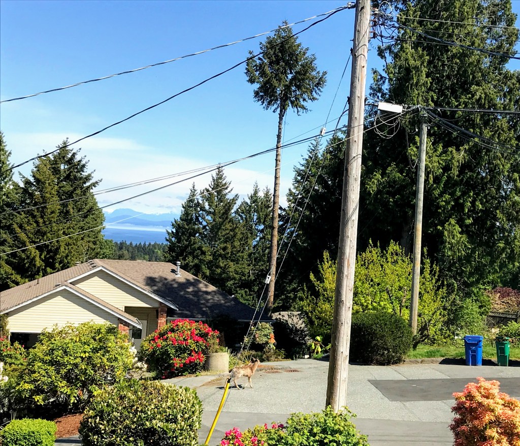
Even the neighborhood deer family came to check out the event!

A doe arrived to check out the action!

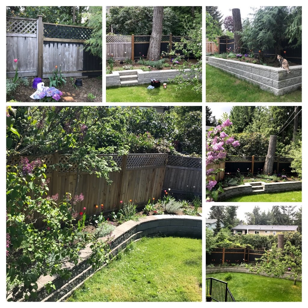
Spring fever and sunny days gave me incentive to stain the fence in the backyard! As our new roof and gutters are slate/granite colored, I decided to stain the back corner fence to match. As always, Sophia assisted and was by my side to encourage me.

From natural to stained. The phases of staining the corner back fence!

When the sun is shining, our choice is to spend as much time as possible outdoors during lockdown. When the weather shifts to rainy, gusty days…this time is a gift for working indoors organizing, sorting photos and revisiting memorabilia. May I present 3 generations of Alex? My beloved dad, Alex, passed away in 2007. As a globetrotter, he reminisced of his trips and informed me that when in Scotland he was called “Sandy”. My only son, Alexander, also follows the name tradition.

The importance of family!

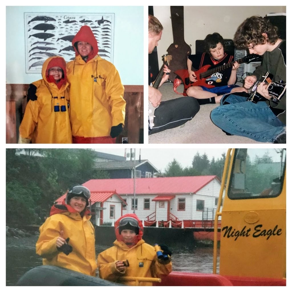
More rainy days brought more blogging and reminiscing. Many years ago….my son and I won a zodiac whale watching adventure out of Tofino. It was stormy and a bit rough travelling by zodiac. We got totally drenched! The highlights were Humpbacks and Grey whales sleeping and some sea lions playing in the surf.

Memories from the past…Zodiac Whale Watching in Tofino. Playing guitars in PG.

It was fun…but we are spoiled coming from northern Vancouver Island where Orca pods, Seals, Sea Lions, Pacific white sided Dolphins, Dall’s Porpoise, and Humpback whales roam on a regular basis.

Dedicated to my family….Here is a short video showing some flashbacks from the 1950’s onward.

Family flashbacks!

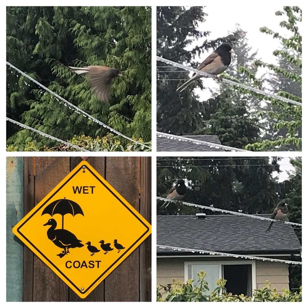
Birds are plentiful around our home, but the Juncos are particularly bold and don’t seem to mind the rainy days.

“Wet” coast birds in the rain. Especially Juncos.

In mid May 2020, during lockdown, my 87 year old mom (in excruciating pain) was transported by ambulance from her home to the hospital in isolated Port Hardy. Although I was not permitted to be with her due to Covid lockdown, it was discovered that she was passing several large kidney stones!

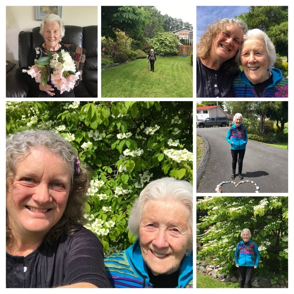
After several days, they transferred mom via ambulance from Port Hardy to the Campbell River Hospital 230 km south for further tests and to see a specialist. It was on the parking lot outside the hospital that we were finally permitted to see one another. This was a very emotional and stressful reality of Covid lockdown. In spite of mom’s suffering and fear, it is evident by her smile that having family support means the world.
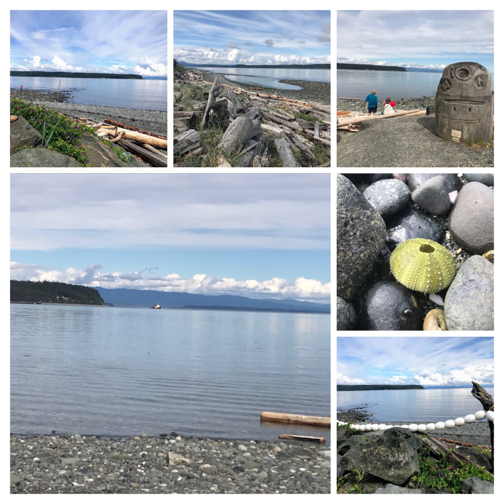
Mom at the hospital in Campbell River

I was not permitted to see my mom for hours after I first arrived north in Campbell River from Nanaimo 155 km south. Thankfully, it was a beautiful day and I walked along the Campbell River shoreline trying to gather a more peaceful, calm perspective.

Campbell River shoreline

After the hospital allowed a quick outdoor visit with mom, I was sent away again and asked to remain in the Campbell River area. The Campbell River Estuary is a favorite location of ours to go for an easy walk, or kayak paddle around the estuary and into the ocean.

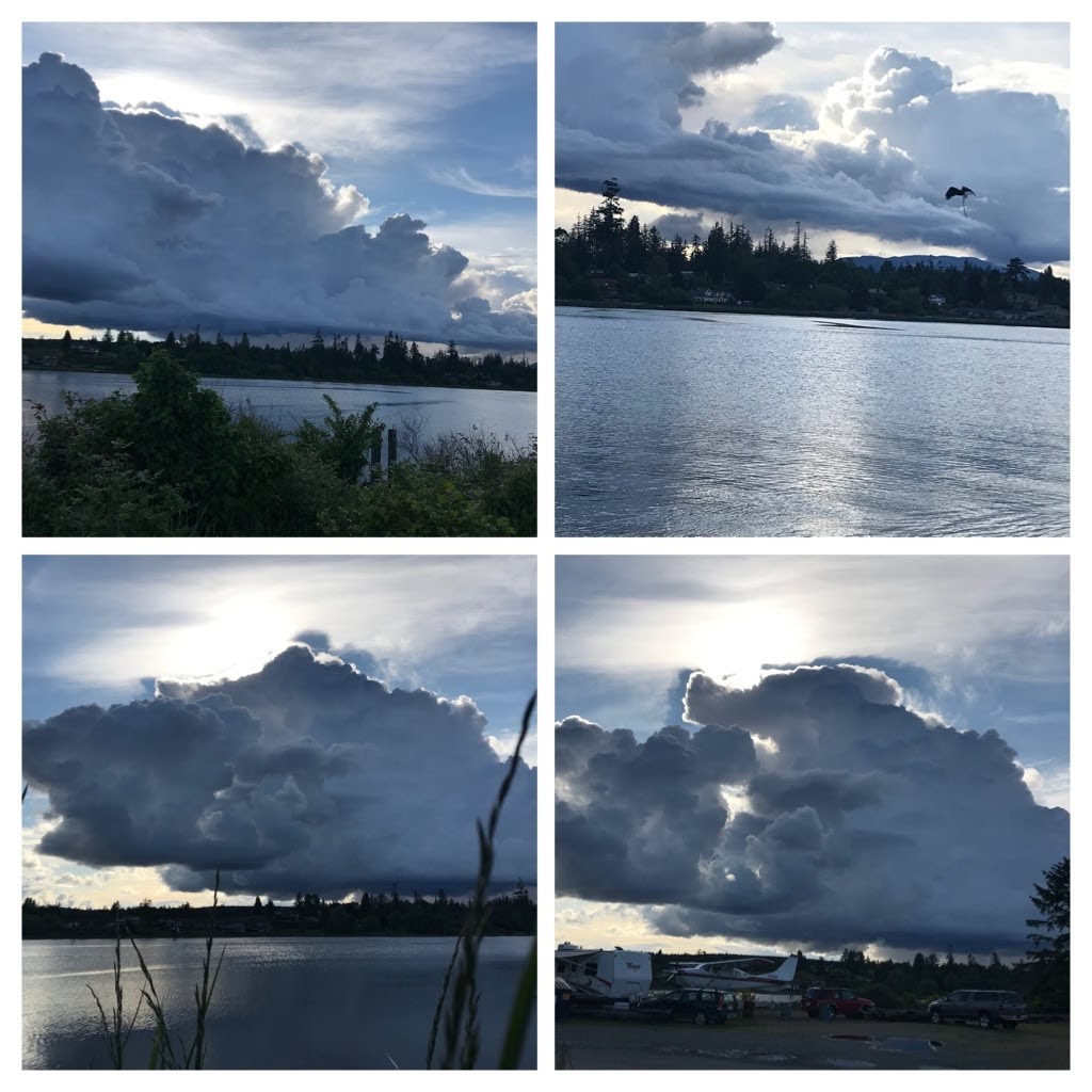
Campbell River Estuary…Crazy cloud formations!

The weather was changing as storm cloud formations and lighting portrayed stunning art in the sky.

Seals playing despite the storm.

The seals entertained between float plane landings while I waited for an update from the hospital. The sunset at the Estuary was sublime.

Geese, Seals, and Kayaks exploring the Campbell River Estuary during the storm!

At 7:30 p.m. I received a call that mom (dressed in her pajamas and robe) was being discharged from the hospital. The ambulance was gone and there were no buses north to Port Hardy until the following day! That meant that my 87 year old physically challenged mom was released on her own, without support, 230 km from her home during Covid lockdown!

Thankfully, I was able to pick mom up and drive her back to her home in Port Hardy. Keep in mind, this was a 230 km road trip, during the dark of night, through lengthy sections of isolation without any (or extremely limited) cell coverage, little possibility of any gas stations open en route, no medical support if the kidney stones flared again, my mom is 87 years old–and it is Covid lockdown! Mom was quite stressed and I was not impressed that this could truly be a plausible option!???

Mom and I back home in Port Hardy.

It was a stressful 230 km trip during the dark of night and we were incredibly grateful to arrive safely in Port Hardy. Mom is now a huge advocate of drinking lots of water and taking apple cider pills! We are both Kidney Stones’ survivors and do not wish this pain on anybody!!

The next blog post will explore the nature and beautiful beaches around Port Hardy, heading south down Vancouver Island through Campbell River, and around Parksville and Nanaimo.

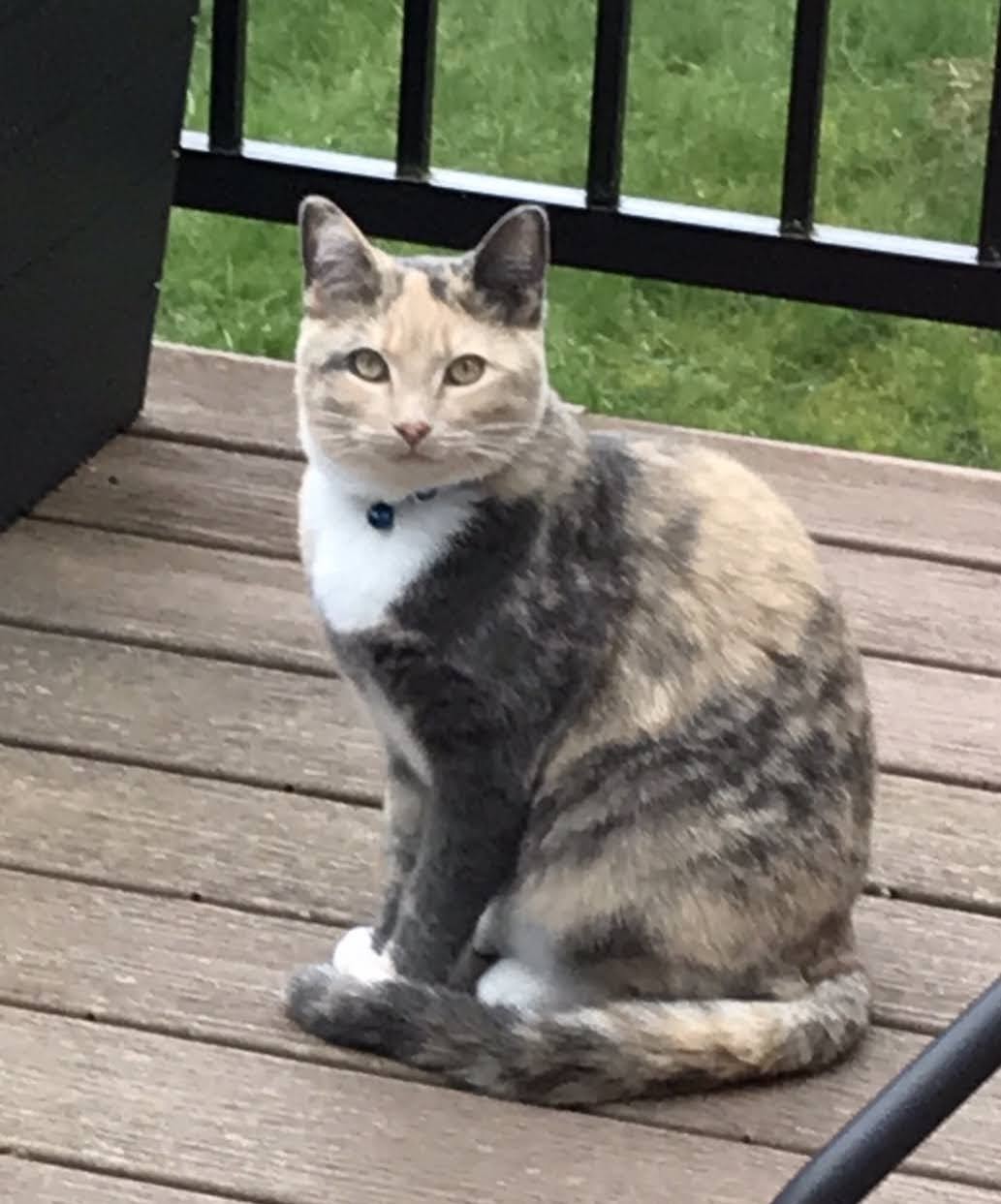
Sophia turns 1 year old!

In addition on May 28th our beautiful rescue kitten, Sophia, will turn 1 year old! Keep Optimistic and Safe. The world is opening up again soon…